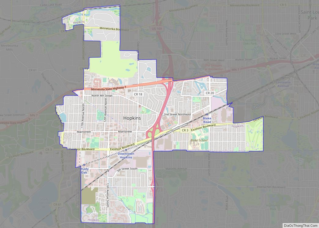
Hopkins is a suburban city in Hennepin County, Minnesota, United States, located west of Minneapolis. The population was 19,079 at the 2020 census. Hopkins was the headquarters of Minneapolis-Moline, which was a large manufacturer of tractors and agricultural equipment in the United States until the 1960s. The southern end of town sits along the main ... Read more
Minnesota Cities and Places
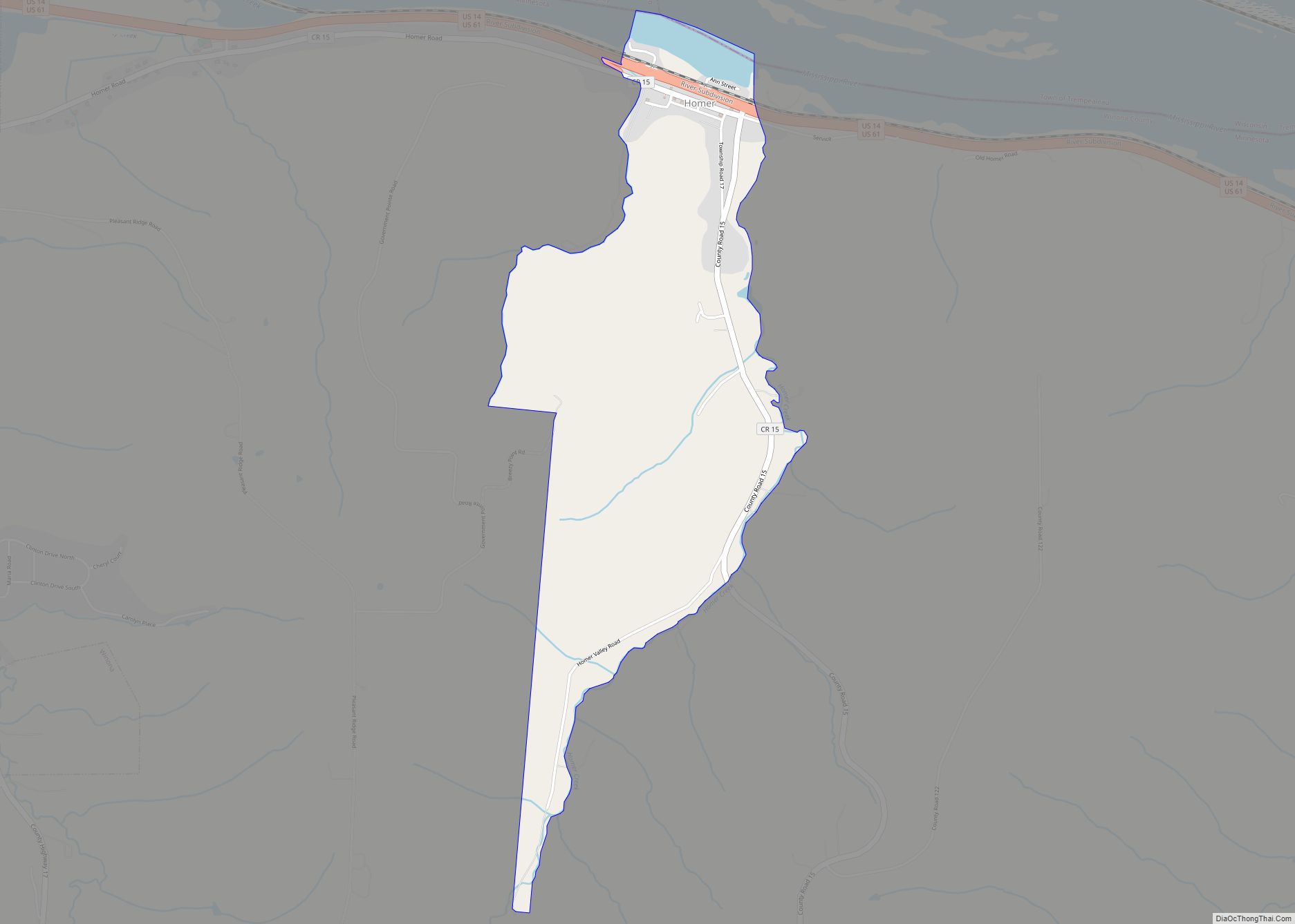
Homer is an unincorporated community and census-designated place (CDP) in Homer Township, Winona County, Minnesota, United States, on the south bank of the Mississippi River. As of the 2010 census, its population was 181. Homer CDP overview: Name: Homer CDP LSAD Code: 57 LSAD Description: CDP (suffix) State: Minnesota County: Winona County Elevation: 692 ft (211 m) ... Read more
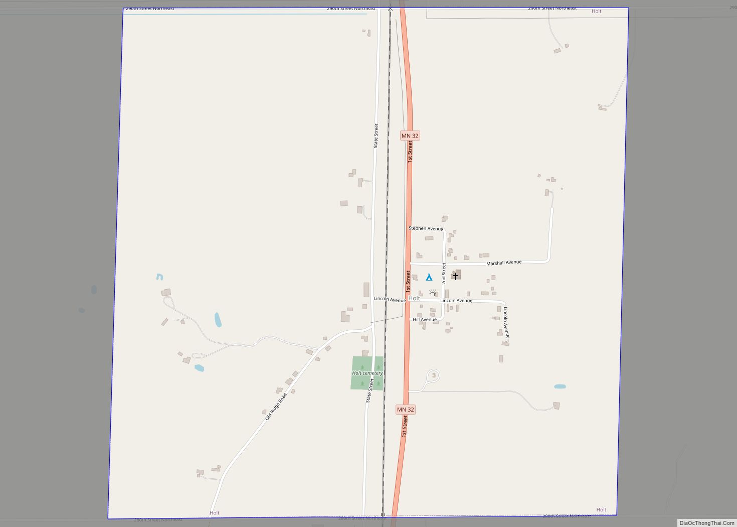
Holt is a city in Marshall County, Minnesota, United States. The population was 90 at the 2020 census. Holt city overview: Name: Holt city LSAD Code: 25 LSAD Description: city (suffix) State: Minnesota County: Marshall County Elevation: 1,155 ft (352 m) Total Area: 1.00 sq mi (2.59 km²) Land Area: 1.00 sq mi (2.59 km²) Water Area: 0.00 sq mi (0.00 km²) Total Population: 90 Population ... Read more
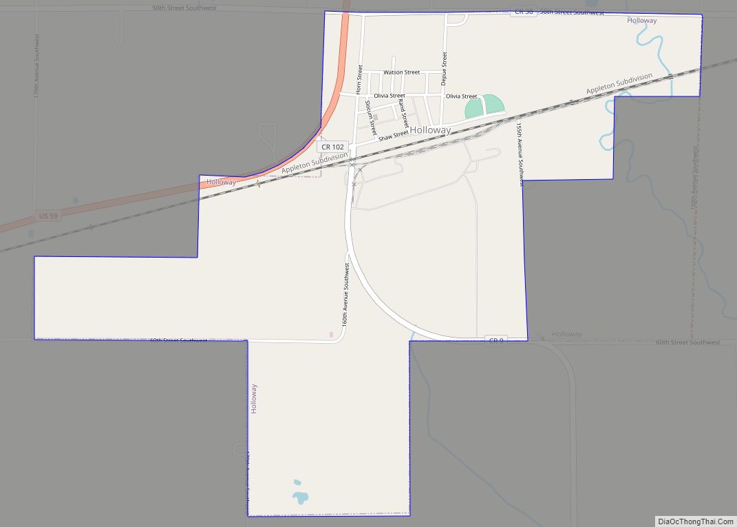
Holloway is a city in Swift County, Minnesota, United States. The population was 92 at the 2010 census. Holloway city overview: Name: Holloway city LSAD Code: 25 LSAD Description: city (suffix) State: Minnesota County: Swift County Elevation: 1,030 ft (314 m) Total Area: 1.40 sq mi (3.63 km²) Land Area: 1.40 sq mi (3.63 km²) Water Area: 0.00 sq mi (0.00 km²) Total Population: 87 Population ... Read more
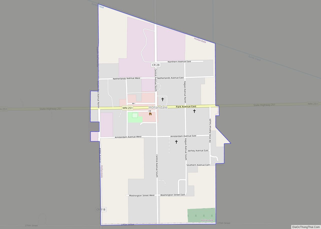
Hollandale is a city on State Highway 251 in Freeborn County, Minnesota, United States. The population was 303 at the 2010 census. Hollandale city overview: Name: Hollandale city LSAD Code: 25 LSAD Description: city (suffix) State: Minnesota County: Freeborn County Elevation: 1,207 ft (368 m) Total Area: 0.44 sq mi (1.14 km²) Land Area: 0.44 sq mi (1.14 km²) Water Area: 0.00 sq mi (0.00 km²) ... Read more
Holland is a city located along the Rock River in Pipestone County in the U.S. state of Minnesota. Located in Pipestone County, it lies approximately eight miles from the city of Pipestone. The population was 187 at the 2010 census, and 215 in 2000. Holland city overview: Name: Holland city LSAD Code: 25 LSAD Description: ... Read more
Holdingford is a city in Stearns County, Minnesota, United States. The population was 708 at the 2010 census. It claims to be “The Gateway to Lake Wobegon”, the fictional central Minnesota town created by author Garrison Keillor. Holdingford is part of the St. Cloud Metropolitan Statistical Area. Holdingford city overview: Name: Holdingford city LSAD Code: ... Read more
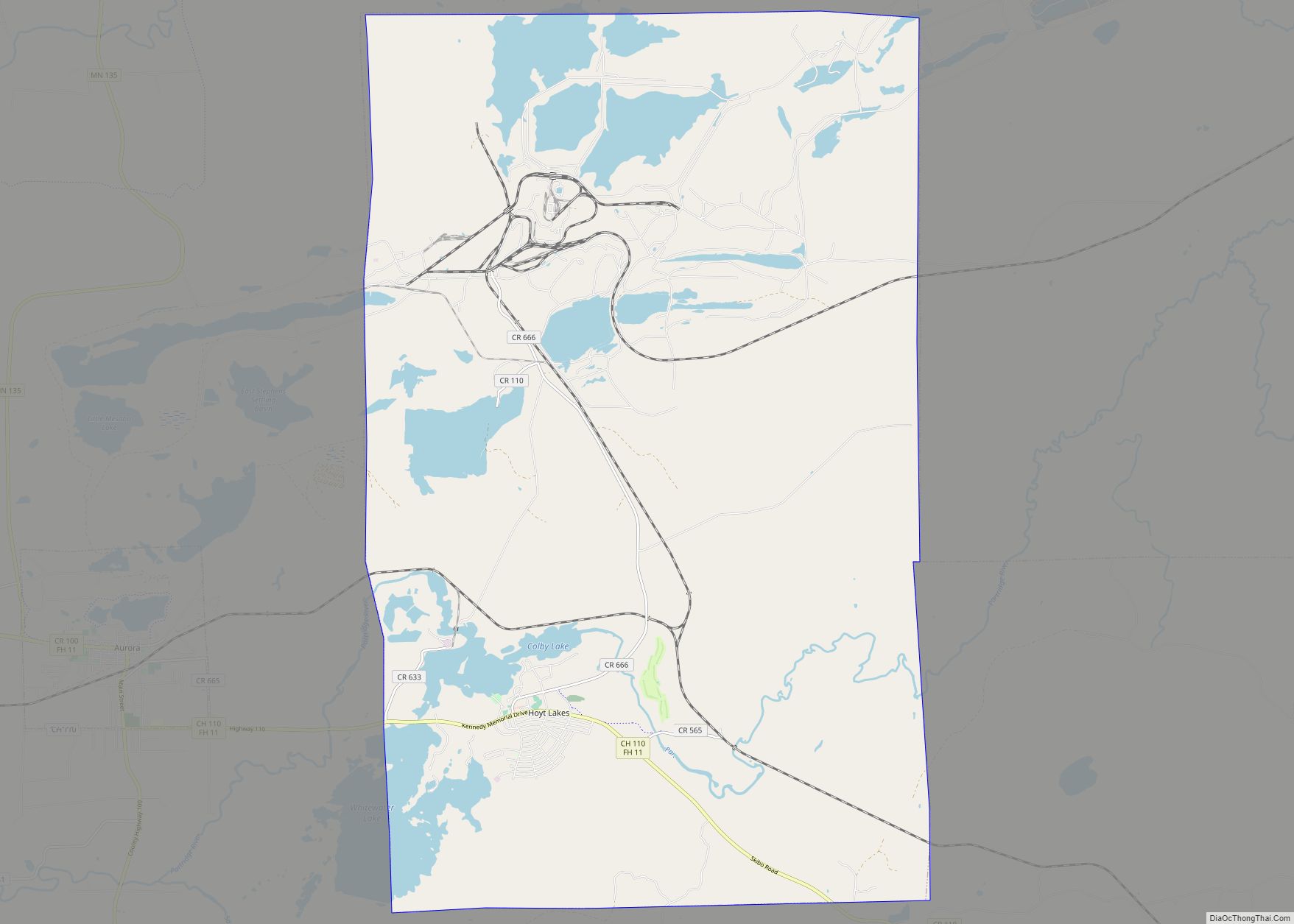
Hoyt Lakes is a city in Saint Louis County, Minnesota. The population was 2,017 at the time of the 2010 census. Saint Louis County Highway 110 (CR 110) serves as a main route in Hoyt Lakes. Hoyt Lakes city overview: Name: Hoyt Lakes city LSAD Code: 25 LSAD Description: city (suffix) State: Minnesota County: St. ... Read more
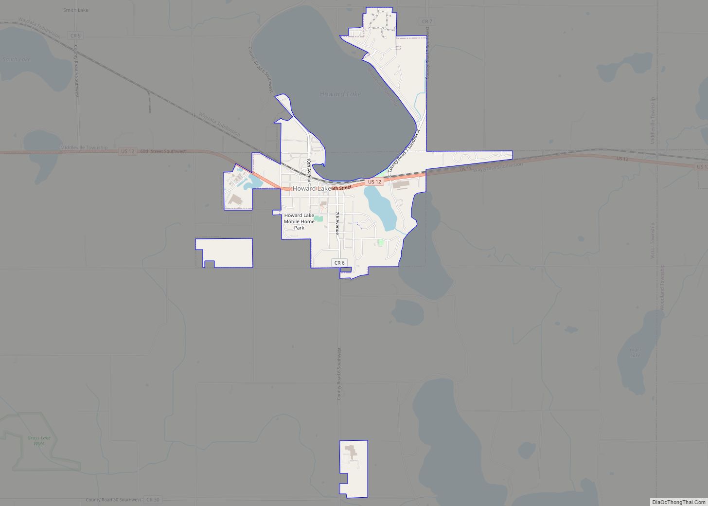
Howard Lake is a city in Wright County, Minnesota, United States. The population was 1,962 at the 2010 census. Howard Lake city overview: Name: Howard Lake city LSAD Code: 25 LSAD Description: city (suffix) State: Minnesota County: Wright County Elevation: 1,014 ft (309 m) Total Area: 1.91 sq mi (4.94 km²) Land Area: 1.85 sq mi (4.80 km²) Water Area: 0.06 sq mi (0.14 km²) Total ... Read more
Iron Junction is a city in Saint Louis County, Minnesota, United States. The population was 86 at the 2010 census. Saint Louis County Highway 7 and Iron Junction Road serve as main routes in the community. State Highway 37 (MN 37) is nearby. The name Iron Junction, as a place of residence, is seldom used ... Read more
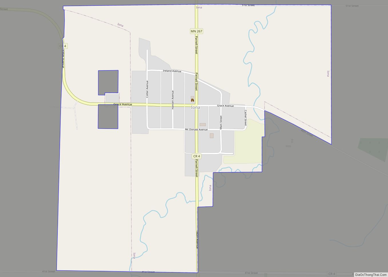
Iona is a city in Murray County, Minnesota, United States. The population was 137 at the 2010 census. Iona city overview: Name: Iona city LSAD Code: 25 LSAD Description: city (suffix) State: Minnesota County: Murray County Elevation: 1,631 ft (497 m) Total Area: 0.78 sq mi (2.01 km²) Land Area: 0.78 sq mi (2.01 km²) Water Area: 0.00 sq mi (0.00 km²) Total Population: 166 Population ... Read more
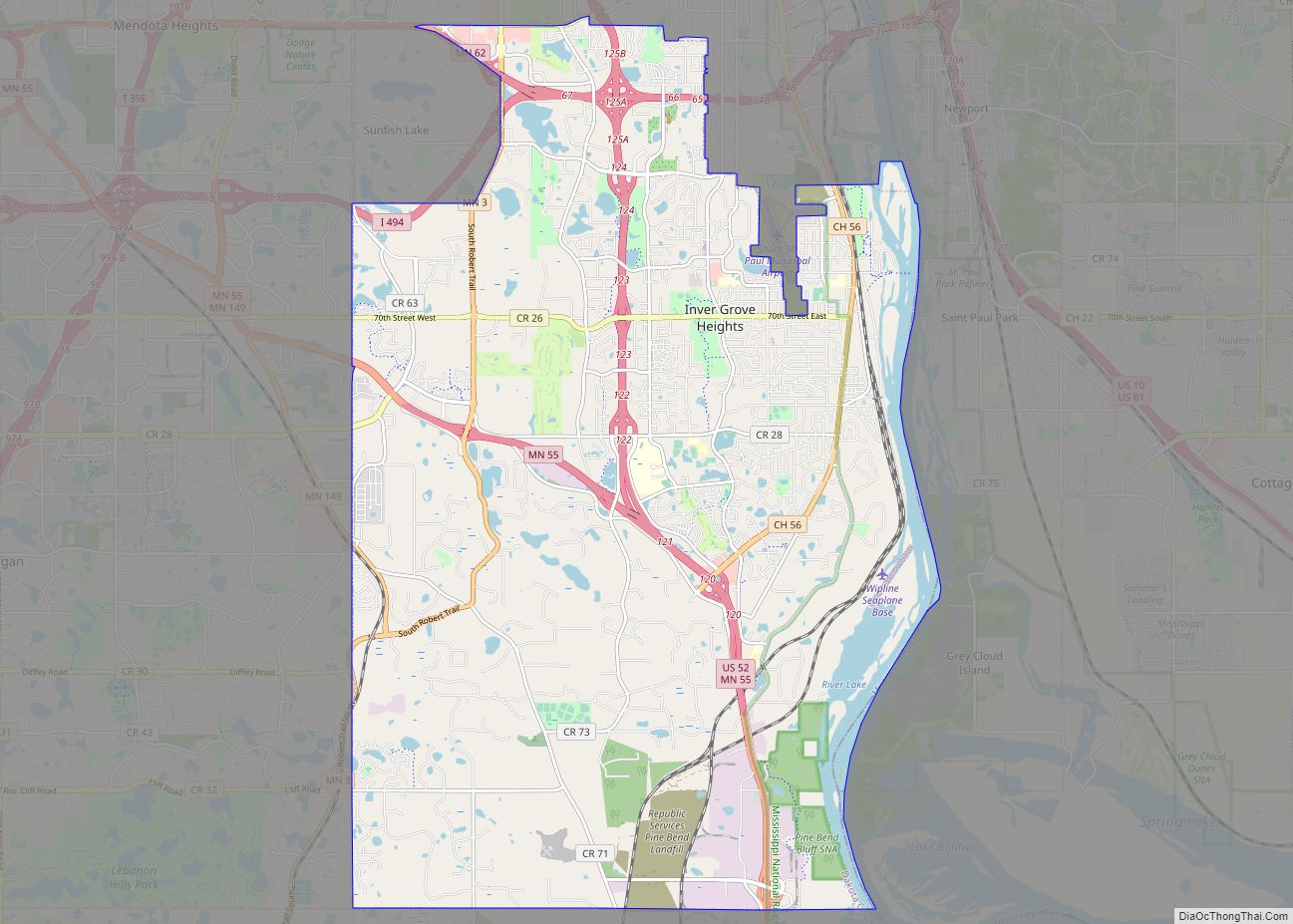
Inver Grove Heights is a city in Dakota County, Minnesota, United States. The population was 35,801 at the 2020 census. The city was formed on March 9, 1965, with the merger of the village of Inver Grove and Inver Grove Township. It is one of 186 cities and townships in the seven-county Minneapolis-Saint Paul metropolitan ... Read more
