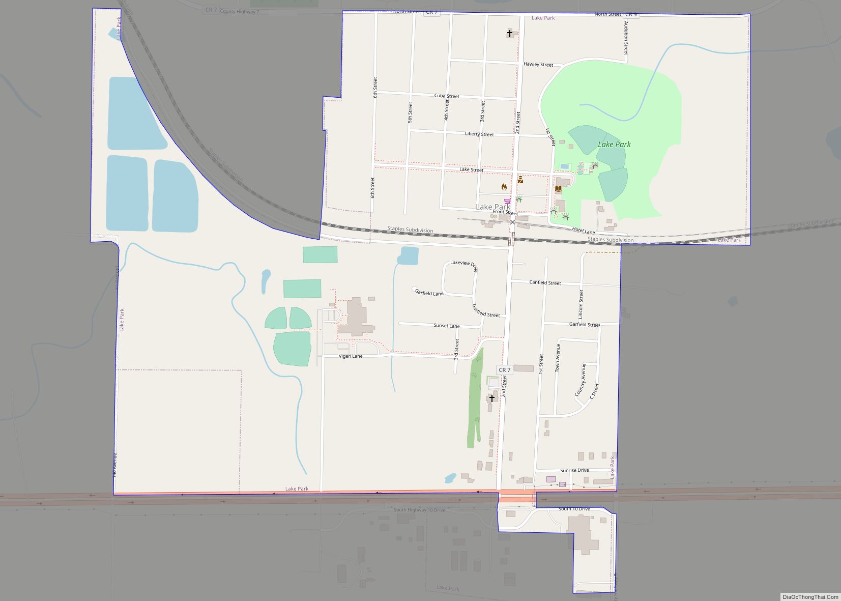
Lake Park is a city in Becker County, Minnesota, United States. The population was 728 at the 2020 census. Lake Park city overview: Name: Lake Park city LSAD Code: 25 LSAD Description: city (suffix) State: Minnesota County: Becker County Elevation: 1,345 ft (410 m) Total Area: 0.96 sq mi (2.49 km²) Land Area: 0.96 sq mi (2.49 km²) Water Area: 0.00 sq mi (0.00 km²) Total ... Read more
Minnesota Cities and Places
Lake Lillian is a city in Kandiyohi County, Minnesota, United States. The population was 238 at the 2010 census. Lake Lillian city overview: Name: Lake Lillian city LSAD Code: 25 LSAD Description: city (suffix) State: Minnesota County: Kandiyohi County Elevation: 1,109 ft (338 m) Total Area: 0.45 sq mi (1.17 km²) Land Area: 0.45 sq mi (1.17 km²) Water Area: 0.00 sq mi (0.00 km²) Total ... Read more
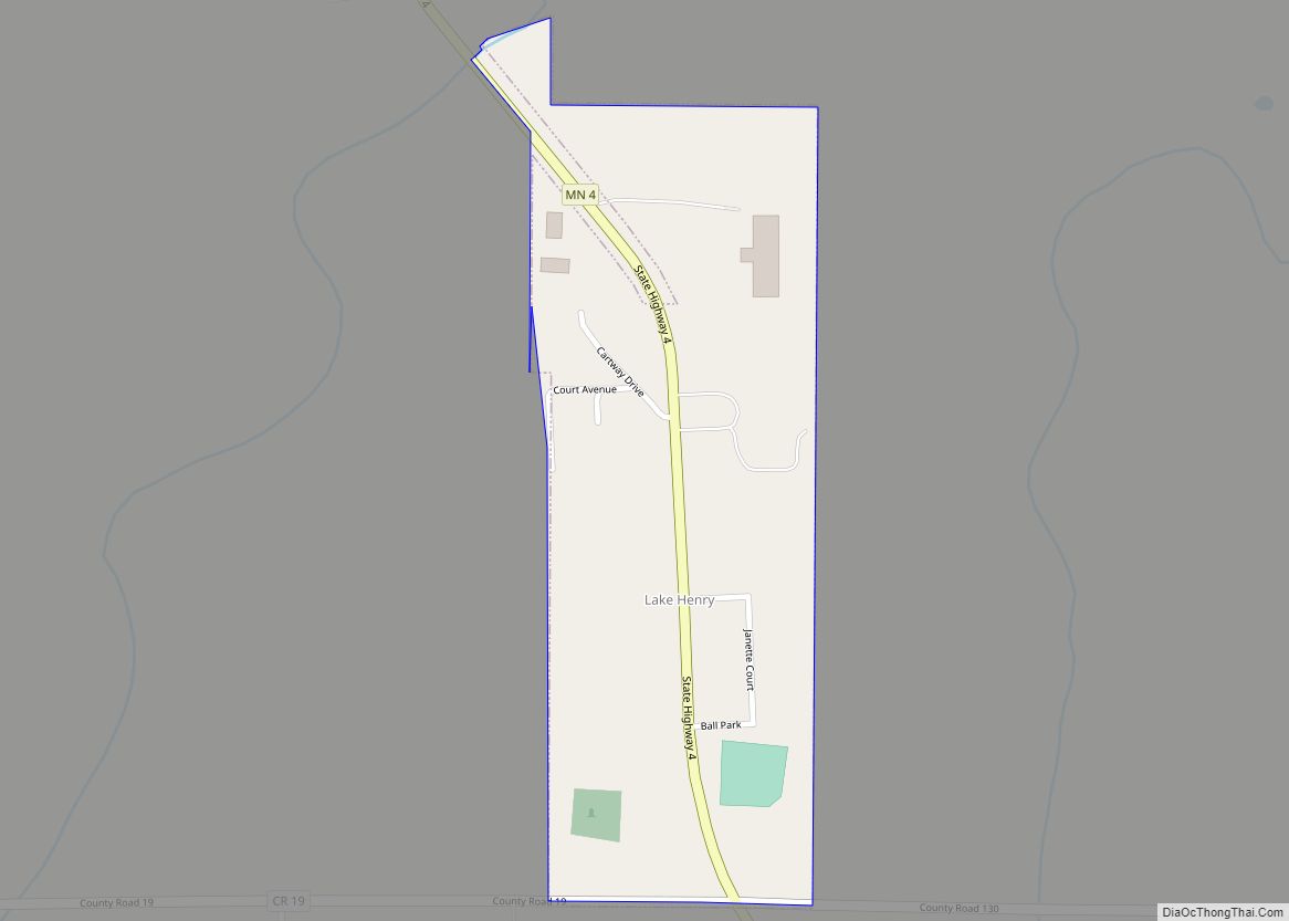
Lake Henry is a city in Stearns County, Minnesota, United States. The population was 103 at the 2010 census. It is part of the St. Cloud Metropolitan Statistical Area. Minnesota State Highway 4 serves as a main route in the community. Lake Henry city overview: Name: Lake Henry city LSAD Code: 25 LSAD Description: city ... Read more
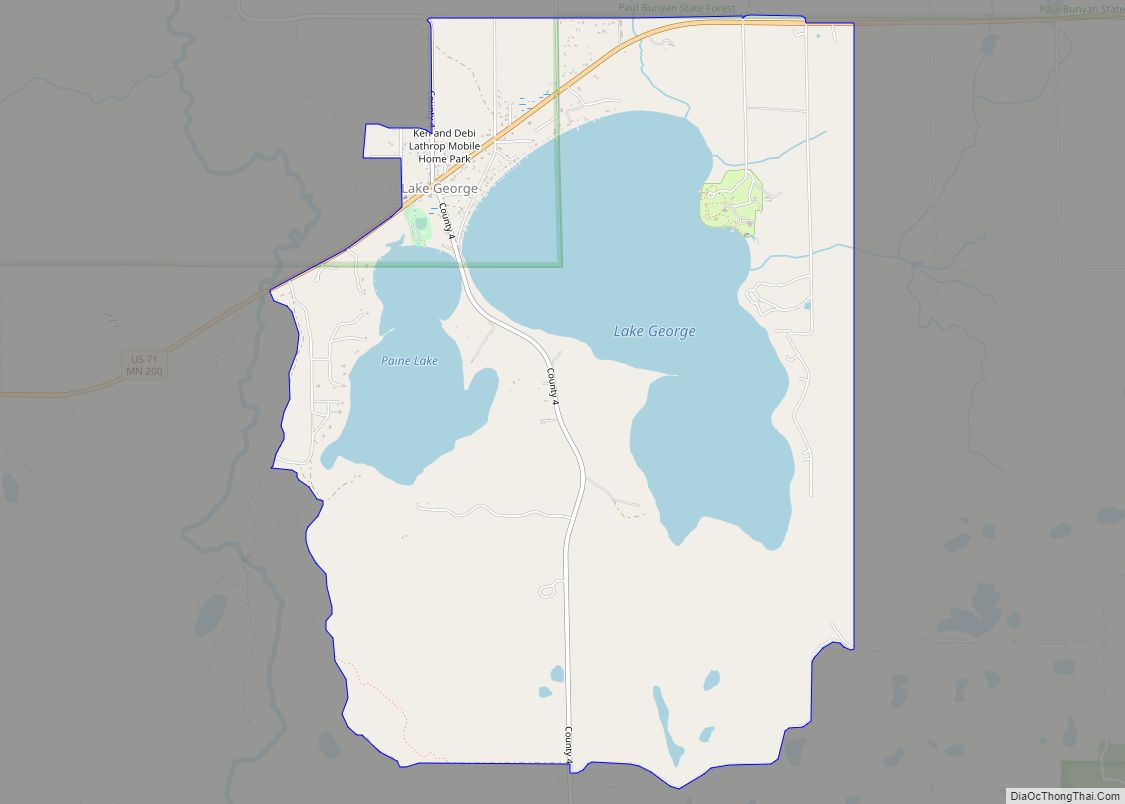
Lake George is an unincorporated community and census-designated place (CDP) in Lake George Township, Hubbard County, Minnesota, United States. As of the 2010 census, its population was 230. The community is located along U.S. Highway 71 and State Highway 200 (MN 200) near Hubbard County Road 4. Nearby places include Laporte, Park Rapids, and Itasca ... Read more
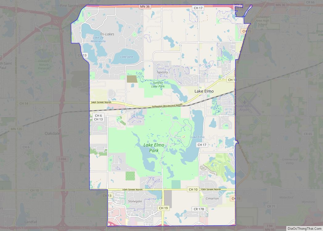
Lake Elmo is a city in Washington County, Minnesota, United States. The population was 11,335 at the 2020 census. According to 2021 census estimates, the city is estimated to have a population of 12,899. Much of the area within the city limits is still farmland, giving the city a rural appearance. Following the loss of ... Read more
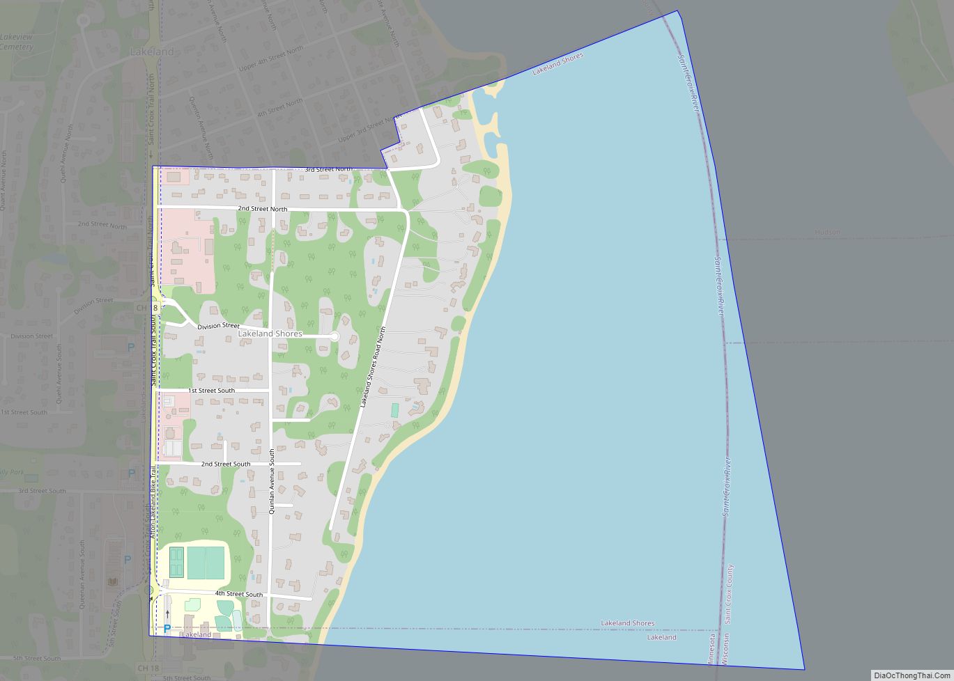
Lakeland Shores is a city in Washington County, Minnesota, United States. The population was 311 at the 2010 census. Lakeland Shores city overview: Name: Lakeland Shores city LSAD Code: 25 LSAD Description: city (suffix) State: Minnesota County: Washington County Elevation: 676 ft (206 m) Total Area: 0.74 sq mi (1.91 km²) Land Area: 0.32 sq mi (0.82 km²) Water Area: 0.42 sq mi (1.09 km²) Total ... Read more
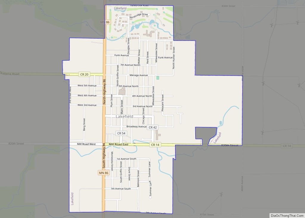
Lakefield is a city in Jackson County, Minnesota, United States. The population was 1,694 at the 2010 census. Lakefield city overview: Name: Lakefield city LSAD Code: 25 LSAD Description: city (suffix) State: Minnesota County: Jackson County Elevation: 1,486 ft (453 m) Total Area: 1.34 sq mi (3.47 km²) Land Area: 1.34 sq mi (3.47 km²) Water Area: 0.00 sq mi (0.00 km²) Total Population: 1,735 Population ... Read more
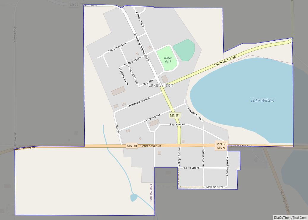
Lake Wilson is a city in Murray County, Minnesota, United States. The population was 251 at the 2010 census. Lake Wilson city overview: Name: Lake Wilson city LSAD Code: 25 LSAD Description: city (suffix) State: Minnesota County: Murray County Elevation: 1,663 ft (507 m) Total Area: 0.51 sq mi (1.31 km²) Land Area: 0.42 sq mi (1.10 km²) Water Area: 0.08 sq mi (0.22 km²) Total ... Read more
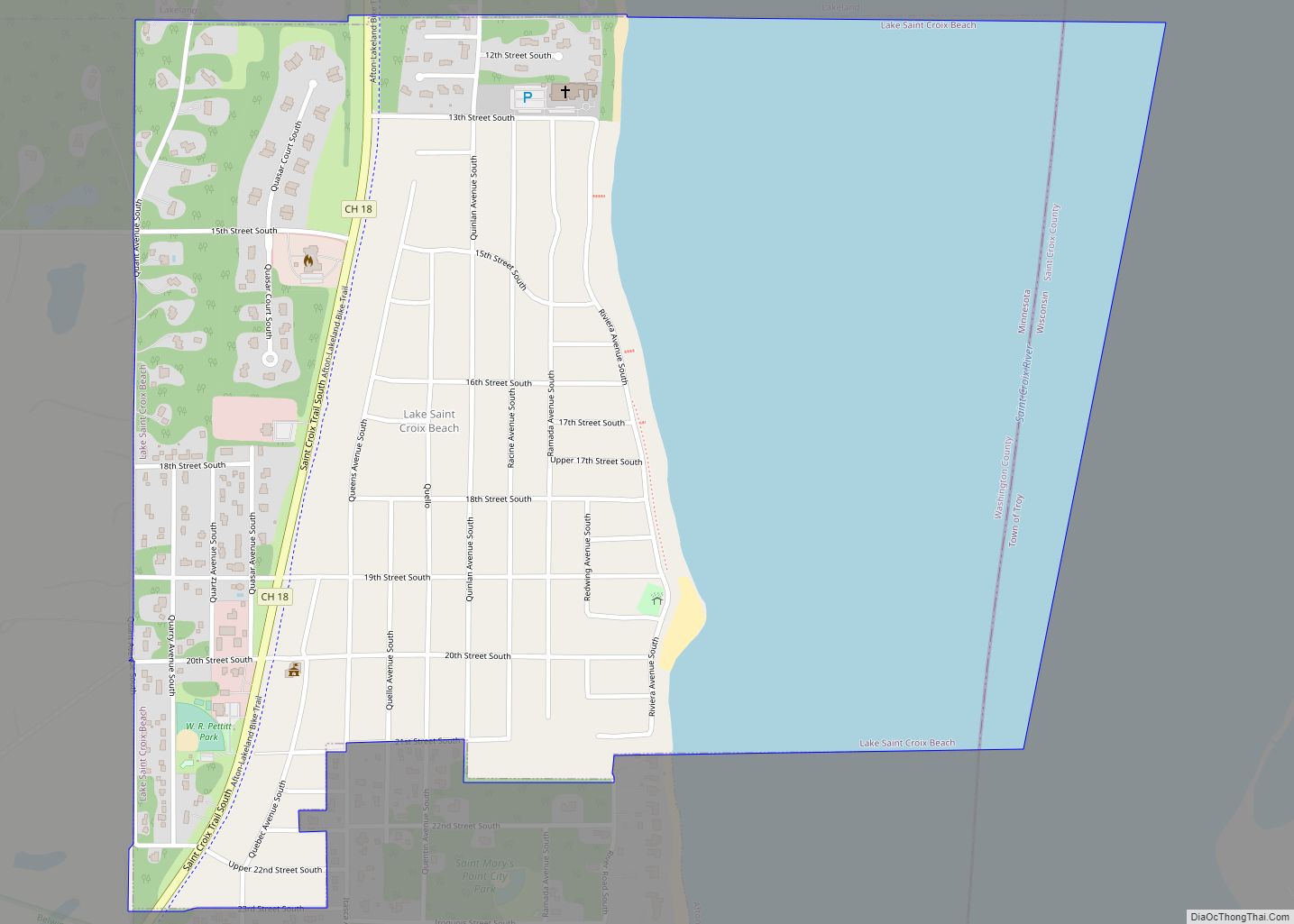
Lake St. Croix Beach or City of Lake Saint Croix Beach is a city in Washington County, Minnesota, United States. The population was 1,043 at the 2010 census. Lake St. Croix Beach city overview: Name: Lake St. Croix Beach city LSAD Code: 25 LSAD Description: city (suffix) State: Minnesota County: Washington County Elevation: 712 ft (217 m) ... Read more
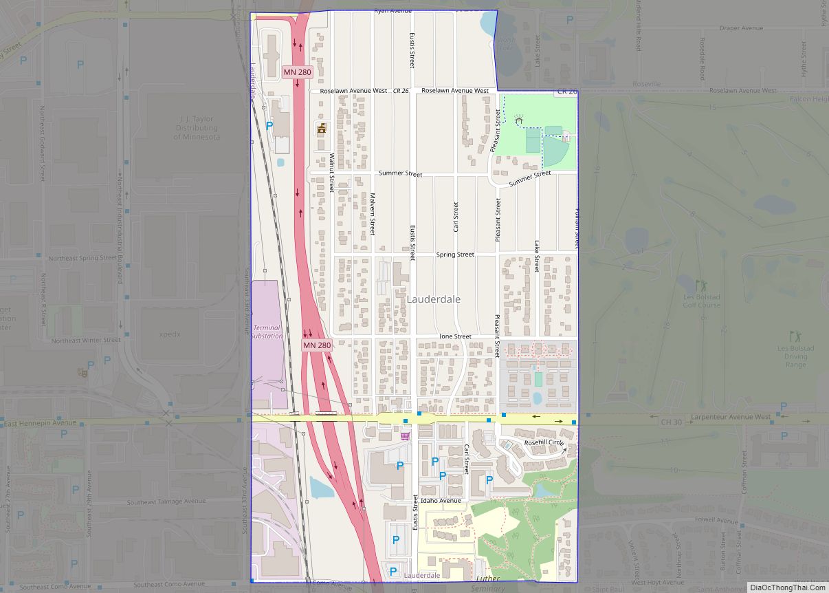
Lauderdale is a city in Ramsey County, Minnesota, United States. The population was 2,379 at the 2010 census. Lauderdale is part of the Minneapolis–St. Paul metropolitan area and is surrounded by Minneapolis, St. Paul, Roseville, and Falcon Heights. Along with Roseville, it is one of two cities to touch both Minneapolis and St Paul. Lauderdale ... Read more
Lastrup (/ˈleɪstrəp/ LAY-schrəp) is a city in Morrison County, Minnesota, United States. The population was 120 at the 2020 census. Lastrup city overview: Name: Lastrup city LSAD Code: 25 LSAD Description: city (suffix) State: Minnesota County: Morrison County Elevation: 1,240 ft (378 m) Total Area: 0.38 sq mi (0.99 km²) Land Area: 0.37 sq mi (0.95 km²) Water Area: 0.01 sq mi (0.03 km²) Total Population: ... Read more
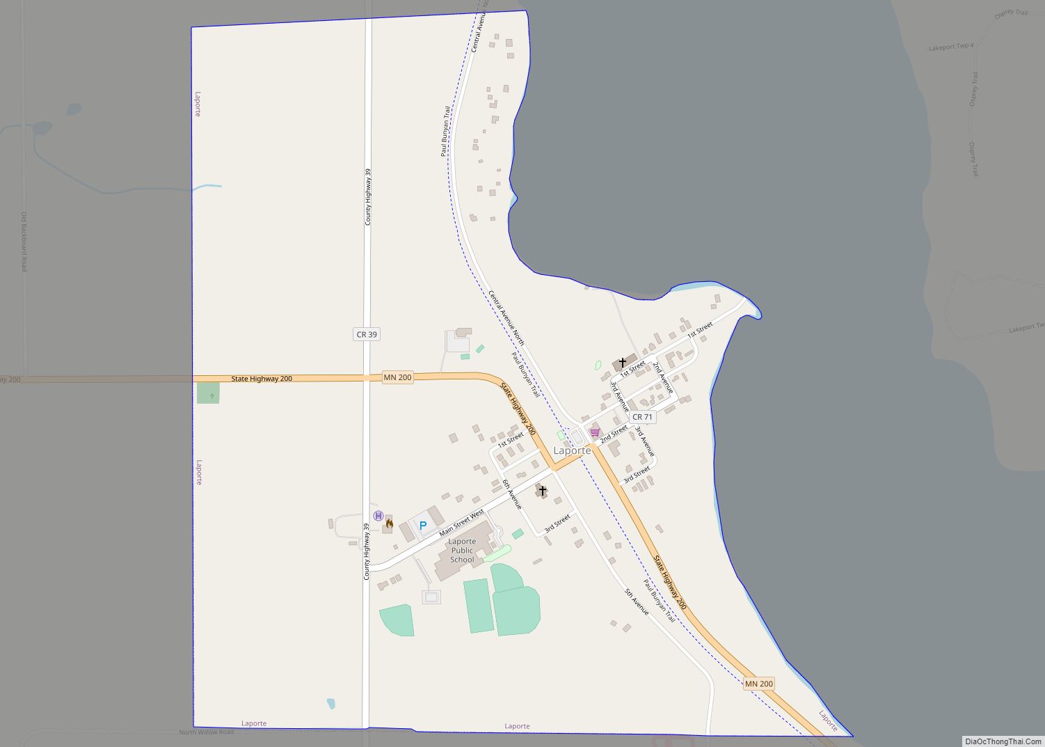
Laporte (/ləˈpɔːrt/ lə-PORT) is a city in Hubbard County, Minnesota, United States. The population was 134 at the 2020 census. Laporte city overview: Name: Laporte city LSAD Code: 25 LSAD Description: city (suffix) State: Minnesota County: Hubbard County Elevation: 1,352 ft (412 m) Total Area: 0.70 sq mi (1.82 km²) Land Area: 0.70 sq mi (1.82 km²) Water Area: 0.00 sq mi (0.00 km²) Total Population: ... Read more
