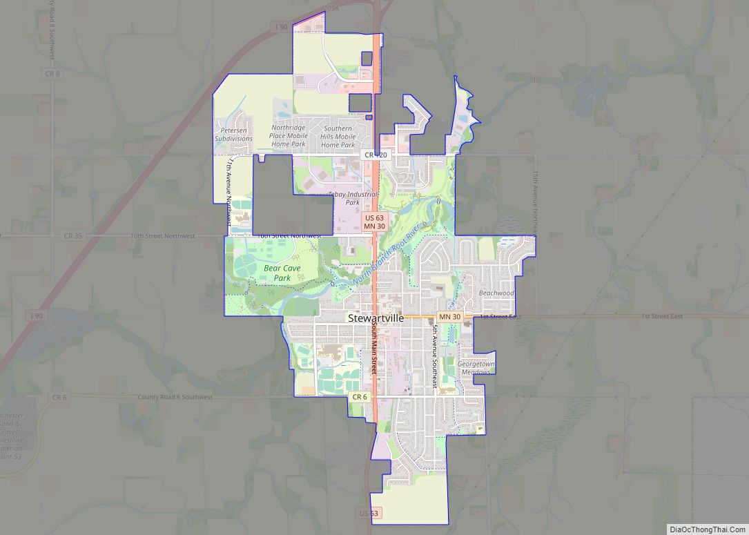
Stewartville is a city in Olmsted County, Minnesota, United States. The population was 5,916 at the 2010 census, and was estimated to have grown to a population of 6,125 as of 2018. Stewartville has experienced growth as a result of its location just south of Rochester. Stewartville city overview: Name: Stewartville city LSAD Code: 25 ... Read more
Minnesota Cities and Places
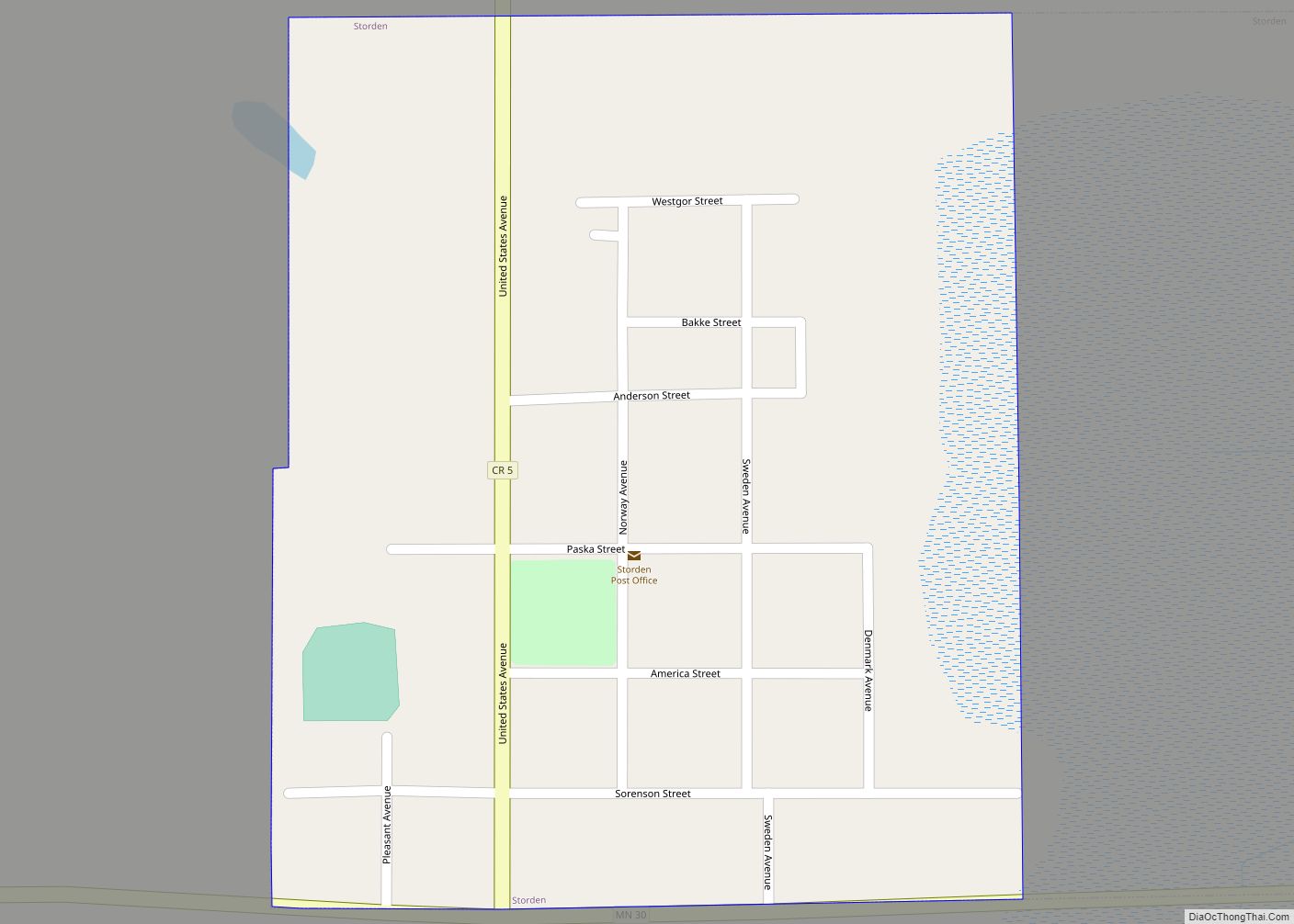
Storden is a city in Cottonwood County, Minnesota, United States. The population was 219 at the 2010 census. Storden city overview: Name: Storden city LSAD Code: 25 LSAD Description: city (suffix) State: Minnesota County: Cottonwood County Elevation: 1,411 ft (430 m) Total Area: 0.22 sq mi (0.57 km²) Land Area: 0.22 sq mi (0.57 km²) Water Area: 0.00 sq mi (0.00 km²) Total Population: 225 Population ... Read more
Stockton is a city in Winona County, Minnesota, United States. The population was 809 at the 2020 census. Stockton city overview: Name: Stockton city LSAD Code: 25 LSAD Description: city (suffix) State: Minnesota County: Winona County Founded: 1856 Elevation: 751 ft (229 m) Total Area: 1.70 sq mi (4.40 km²) Land Area: 1.70 sq mi (4.40 km²) Water Area: 0.00 sq mi (0.00 km²) Total Population: ... Read more
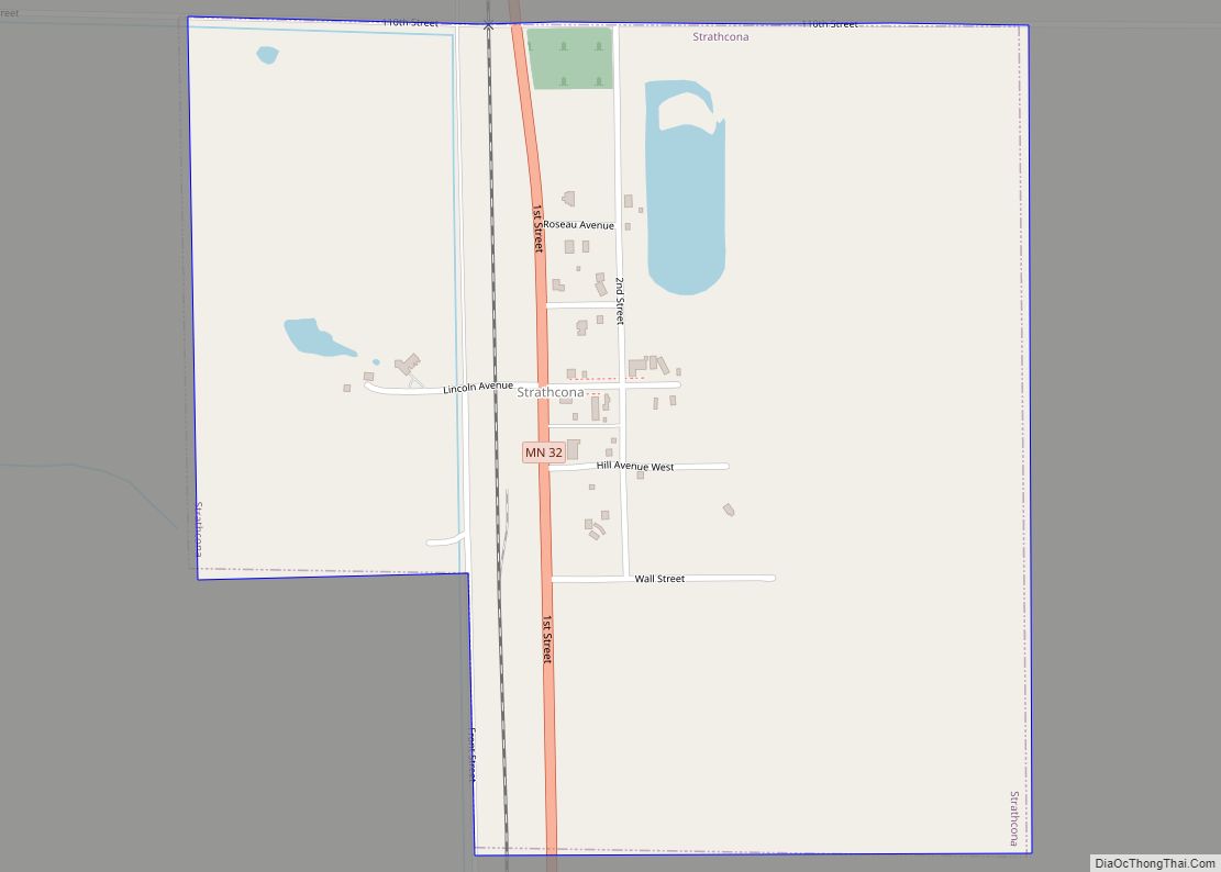
Strathcona is a city in Roseau County, Minnesota, United States. The population was 44 at the 2010 census. Strathcona city overview: Name: Strathcona city LSAD Code: 25 LSAD Description: city (suffix) State: Minnesota County: Roseau County Elevation: 1,125 ft (343 m) Total Area: 0.50 sq mi (1.28 km²) Land Area: 0.50 sq mi (1.28 km²) Water Area: 0.00 sq mi (0.00 km²) Total Population: 25 Population ... Read more
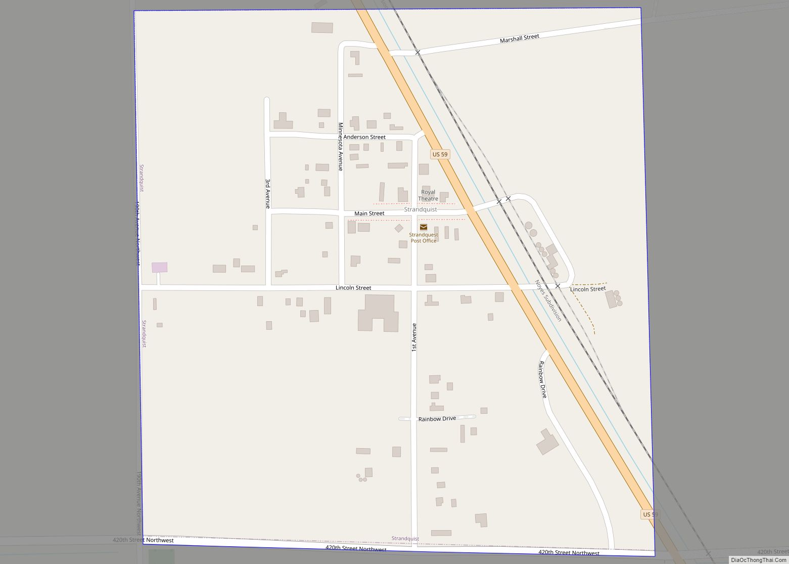
Strandquist is a city in Lincoln Township of Marshall County, Minnesota, United States. The population was 70 at the 2020 census. Strandquist city overview: Name: Strandquist city LSAD Code: 25 LSAD Description: city (suffix) State: Minnesota County: Marshall County Elevation: 1,063 ft (324 m) Total Area: 0.26 sq mi (0.68 km²) Land Area: 0.26 sq mi (0.68 km²) Water Area: 0.00 sq mi (0.00 km²) Total ... Read more
Sturgeon Lake is a city in Pine County, Minnesota, United States. The population was 439 at the 2010 census. Interstate 35, County Road 46, and County 61 (Main Street) are three of the main routes in the community. Sturgeon Lake city overview: Name: Sturgeon Lake city LSAD Code: 25 LSAD Description: city (suffix) State: Minnesota ... Read more
Sunburg is a city in Kandiyohi County, Minnesota, United States. The population was 100 at the 2010 census. Sunburg city overview: Name: Sunburg city LSAD Code: 25 LSAD Description: city (suffix) State: Minnesota County: Kandiyohi County Elevation: 1,260 ft (380 m) Total Area: 0.50 sq mi (1.30 km²) Land Area: 0.47 sq mi (1.23 km²) Water Area: 0.03 sq mi (0.07 km²) Total Population: 94 Population ... Read more
Swanville is a city in Morrison County, Minnesota, United States. A very small portion of the city extends into Todd County. The population was 326 at the 2020 census. Swanville city overview: Name: Swanville city LSAD Code: 25 LSAD Description: city (suffix) State: Minnesota County: Morrison County, Todd County Elevation: 1,181 ft (360 m) Total Area: 0.53 sq mi ... Read more
Sunfish Lake is a city in Dakota County, Minnesota, United States. The population was 521 at the 2010 census. First incorporated as a village in 1958, the city’s goal has been to maintain a rural atmosphere, with large lot size and as little disturbance of the natural environment as possible. Sunfish Lake city overview: Name: ... Read more
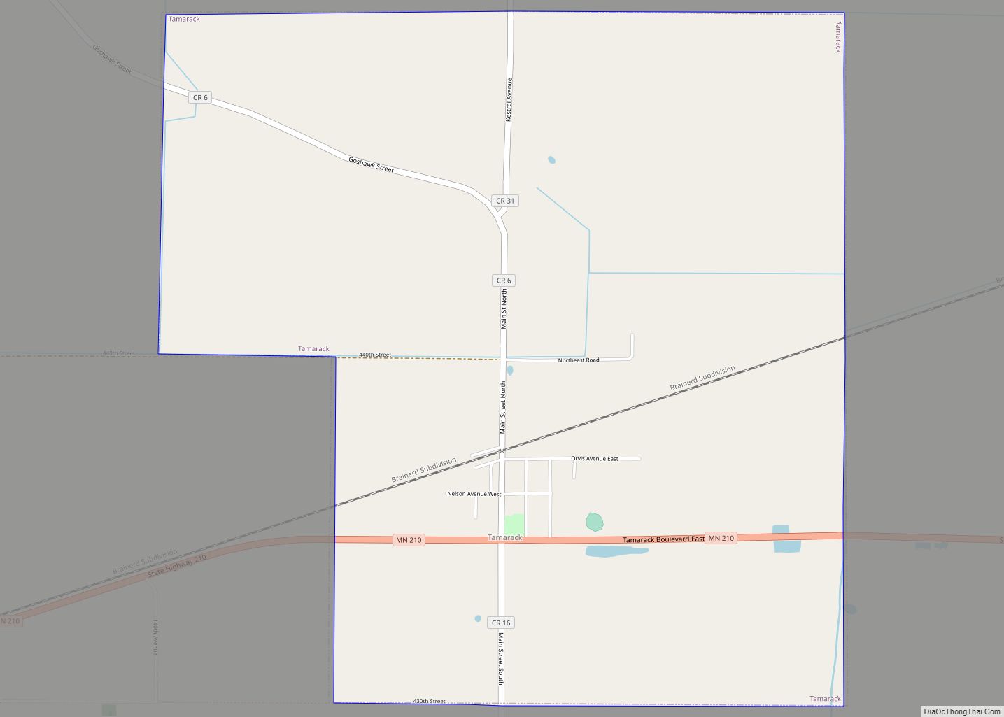
Tamarack is a city in Aitkin County, Minnesota, United States. The population was 94 at the 2010 census. Tamarack is located along Minnesota State Highway 210 at the junction with Aitkin County Roads 6 and 16. Other routes include Main Street. Tamarack city overview: Name: Tamarack city LSAD Code: 25 LSAD Description: city (suffix) State: ... Read more
Taconite is a city in Itasca County, Minnesota, United States. The population was 360 at the 2010 census. U.S. Highway 169 serves as a main route in the community. Taconite city overview: Name: Taconite city LSAD Code: 25 LSAD Description: city (suffix) State: Minnesota County: Itasca County Elevation: 1,401 ft (427 m) Total Area: 29.62 sq mi (76.72 km²) Land ... Read more
Taunton is a city in Lyon County, Minnesota, United States. The population was 139 at the 2010 census. Taunton city overview: Name: Taunton city LSAD Code: 25 LSAD Description: city (suffix) State: Minnesota County: Lyon County Elevation: 1,175 ft (358 m) Total Area: 1.01 sq mi (2.61 km²) Land Area: 1.01 sq mi (2.61 km²) Water Area: 0.00 sq mi (0.00 km²) Total Population: 136 Population ... Read more
