Stockton is a city in Winona County, Minnesota, United States. The population was 809 at the 2020 census.
| Name: | Stockton city |
|---|---|
| LSAD Code: | 25 |
| LSAD Description: | city (suffix) |
| State: | Minnesota |
| County: | Winona County |
| Founded: | 1856 |
| Elevation: | 751 ft (229 m) |
| Total Area: | 1.70 sq mi (4.40 km²) |
| Land Area: | 1.70 sq mi (4.40 km²) |
| Water Area: | 0.00 sq mi (0.00 km²) |
| Total Population: | 809 |
| Population Density: | 476.16/sq mi (183.86/km²) |
| ZIP code: | 55988 |
| Area code: | 507 |
| FIPS code: | 2762896 |
| GNISfeature ID: | 0652652 |
| Website: | ci.stockton.mn.us |
Online Interactive Map
Click on ![]() to view map in "full screen" mode.
to view map in "full screen" mode.
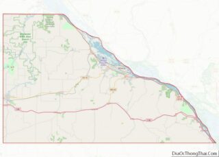
Stockton location map. Where is Stockton city?


History
Stockton was platted in 1856. The city was named after J. B. Stockton, an early landowner. A post office was established at Stockton in 1855, and remained in operation until 1959. The city has one property listed on the National Register of Historic Places, the 1859 Trinity Episcopal Church. The Winona and St. Peter Railroad was founded in 1861 in Winona, Minnesota. The first 11 miles from Winona to Stockton were completed by the end of 1862, making it the second operational railroad in Minnesota, after the St Paul and Pacific Line from St. Paul to St. Anthony Falls.
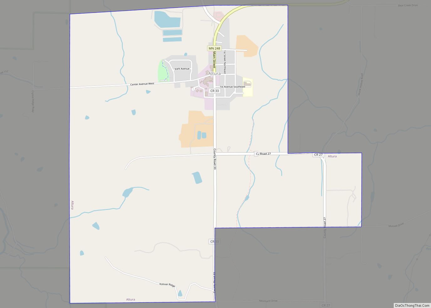
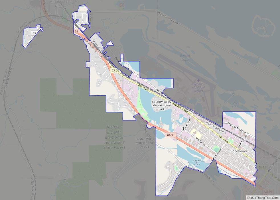
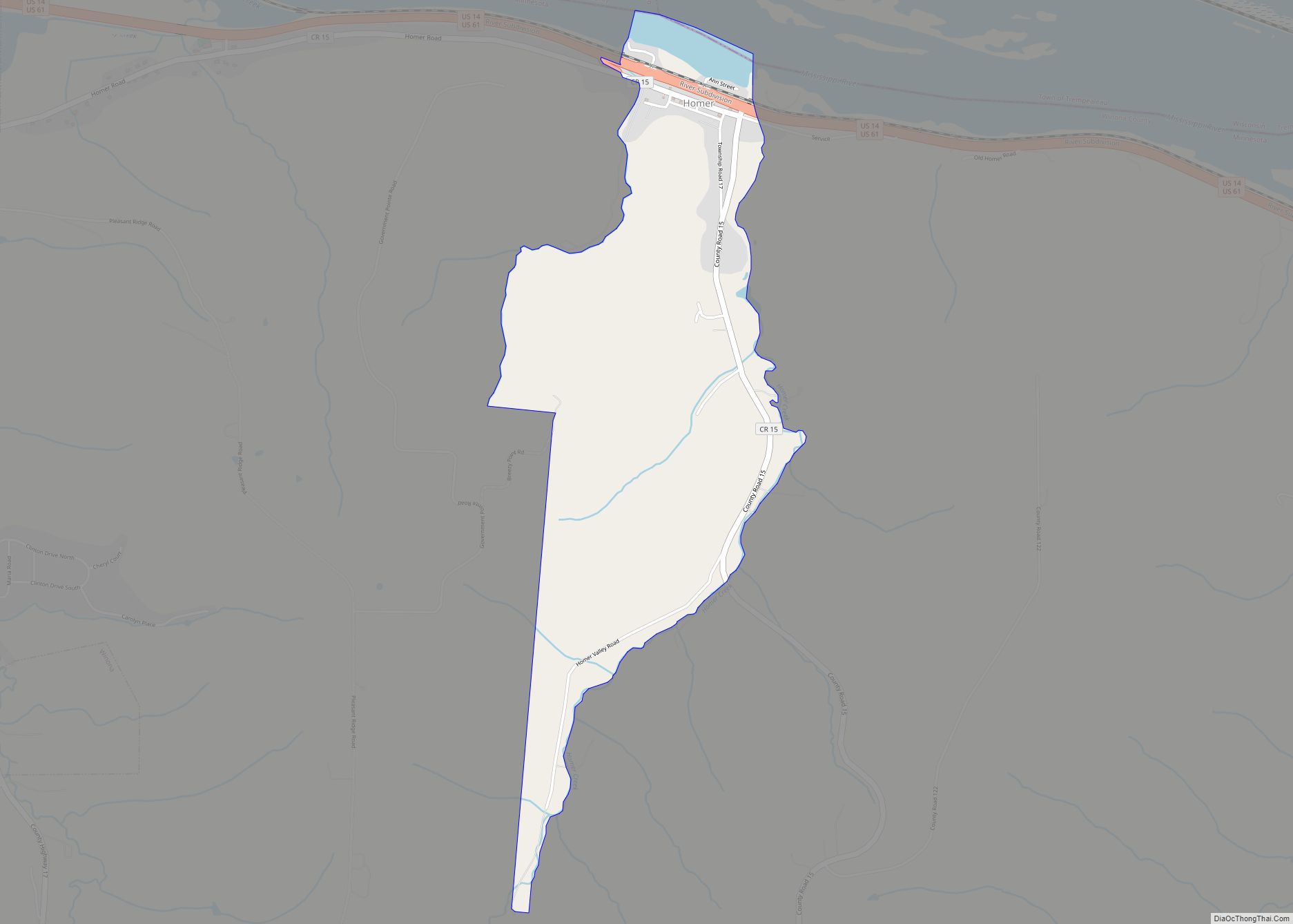
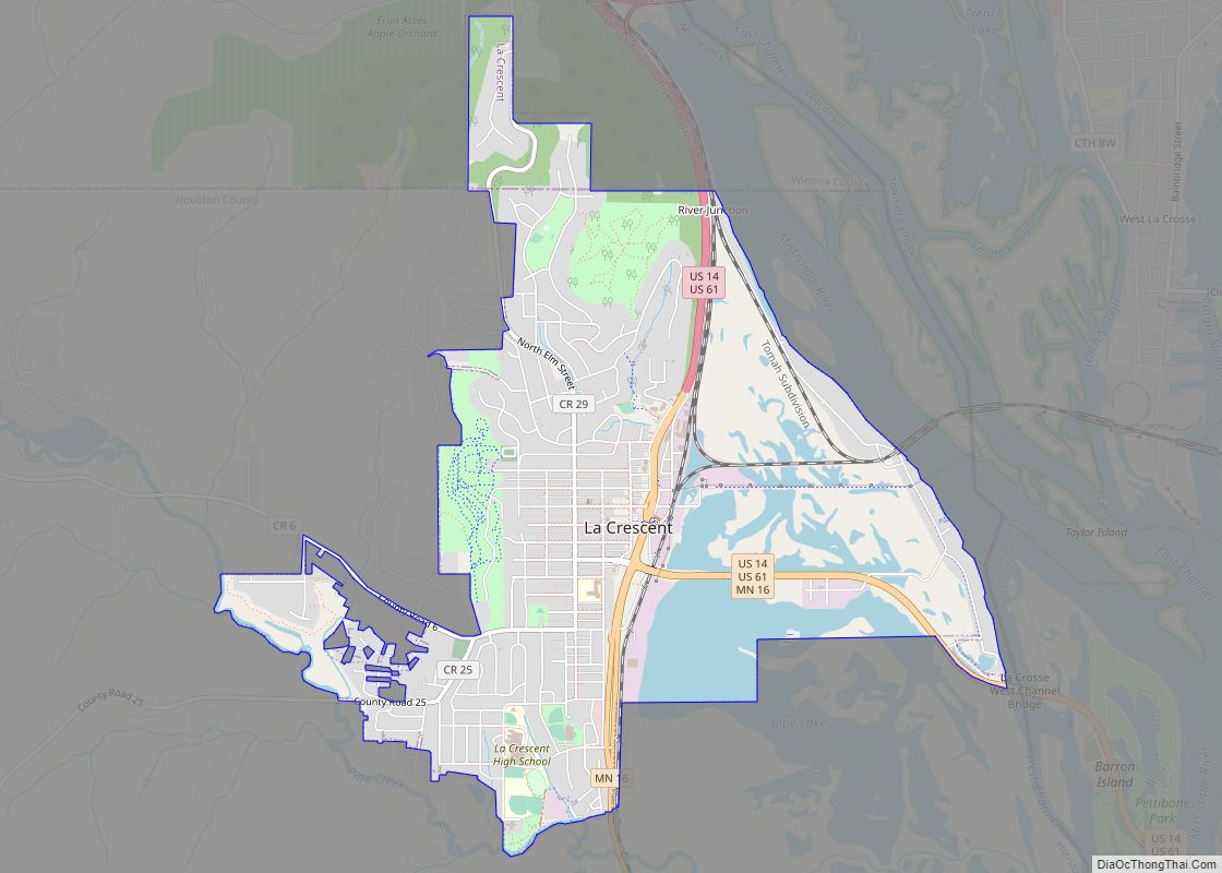
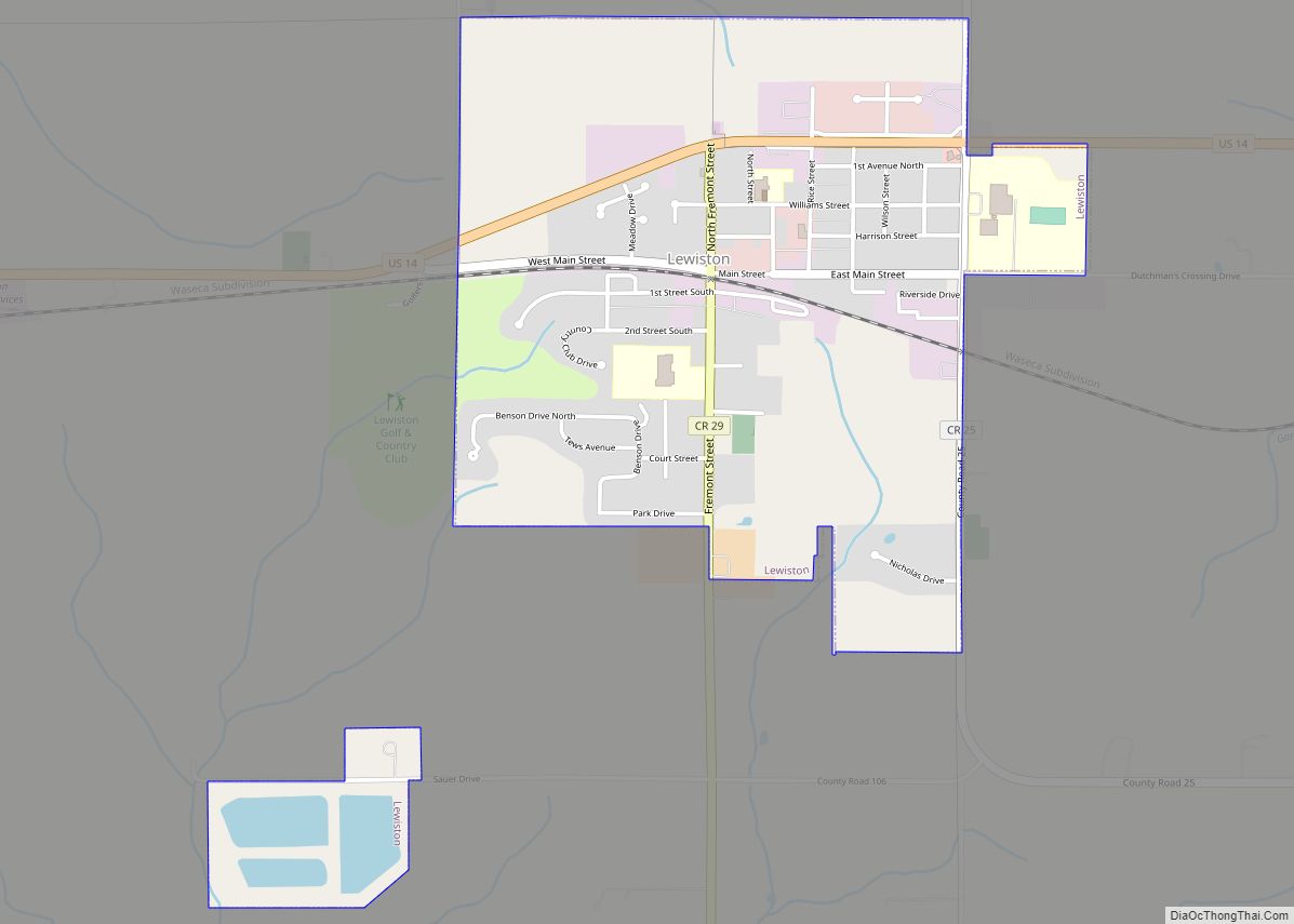
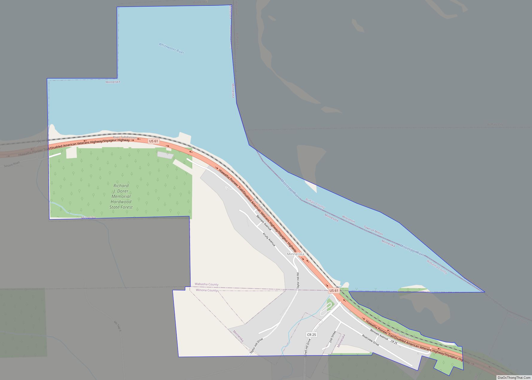
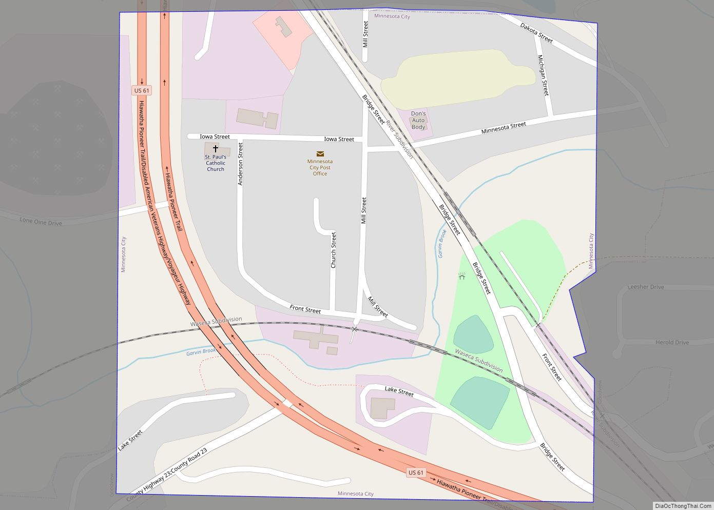
Stockton Road Map

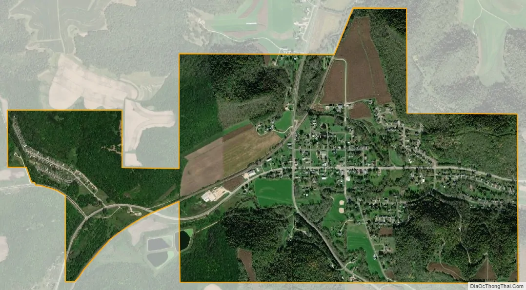
Stockton city Satellite Map
Geography
According to the United States Census Bureau, the city has a total area of 1.70 square miles (4.40 km), all land.
See also
Map of Minnesota State and its subdivision:- Aitkin
- Anoka
- Becker
- Beltrami
- Benton
- Big Stone
- Blue Earth
- Brown
- Carlton
- Carver
- Cass
- Chippewa
- Chisago
- Clay
- Clearwater
- Cook
- Cottonwood
- Crow Wing
- Dakota
- Dodge
- Douglas
- Faribault
- Fillmore
- Freeborn
- Goodhue
- Grant
- Hennepin
- Houston
- Hubbard
- Isanti
- Itasca
- Jackson
- Kanabec
- Kandiyohi
- Kittson
- Koochiching
- Lac qui Parle
- Lake
- Lake of the Woods
- Lake Superior
- Le Sueur
- Lincoln
- Lyon
- Mahnomen
- Marshall
- Martin
- McLeod
- Meeker
- Mille Lacs
- Morrison
- Mower
- Murray
- Nicollet
- Nobles
- Norman
- Olmsted
- Otter Tail
- Pennington
- Pine
- Pipestone
- Polk
- Pope
- Ramsey
- Red Lake
- Redwood
- Renville
- Rice
- Rock
- Roseau
- Saint Louis
- Scott
- Sherburne
- Sibley
- Stearns
- Steele
- Stevens
- Swift
- Todd
- Traverse
- Wabasha
- Wadena
- Waseca
- Washington
- Watonwan
- Wilkin
- Winona
- Wright
- Yellow Medicine
- Alabama
- Alaska
- Arizona
- Arkansas
- California
- Colorado
- Connecticut
- Delaware
- District of Columbia
- Florida
- Georgia
- Hawaii
- Idaho
- Illinois
- Indiana
- Iowa
- Kansas
- Kentucky
- Louisiana
- Maine
- Maryland
- Massachusetts
- Michigan
- Minnesota
- Mississippi
- Missouri
- Montana
- Nebraska
- Nevada
- New Hampshire
- New Jersey
- New Mexico
- New York
- North Carolina
- North Dakota
- Ohio
- Oklahoma
- Oregon
- Pennsylvania
- Rhode Island
- South Carolina
- South Dakota
- Tennessee
- Texas
- Utah
- Vermont
- Virginia
- Washington
- West Virginia
- Wisconsin
- Wyoming