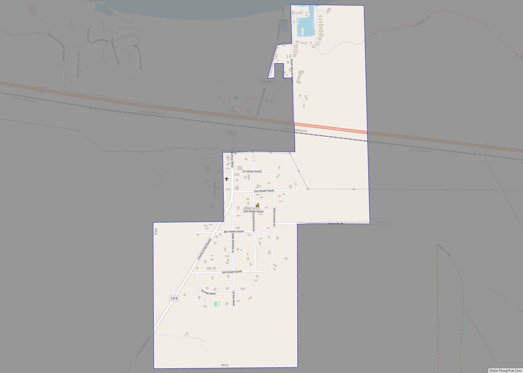
Bena (/ˈbiːnə/ BEE-nə) is a city in Cass County, Minnesota, United States. The population was 116 at the 2010 census. It is part of the Brainerd Micropolitan Statistical Area. Bena city overview: Name: Bena city LSAD Code: 25 LSAD Description: city (suffix) State: Minnesota County: Cass County Elevation: 1,316 ft (401 m) Total Area: 0.51 sq mi (1.32 km²) Land ... Read more
Minnesota Cities and Places
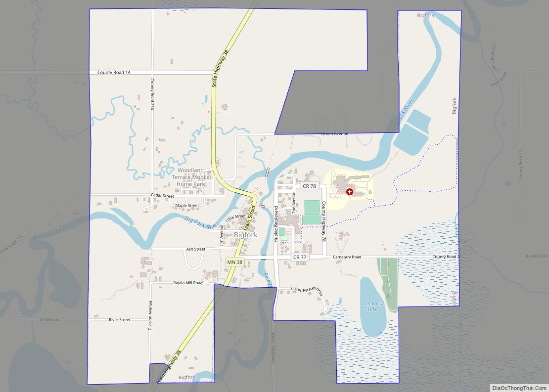
Bigfork is a city in Itasca County, Minnesota, United States. The population was 446 at the 2010 census. Scenic State Park is nearby. Minnesota State Highway 38 serves as a main route in the community. State Highways 1 and 6 are nearby. Bigfork city overview: Name: Bigfork city LSAD Code: 25 LSAD Description: city (suffix) ... Read more
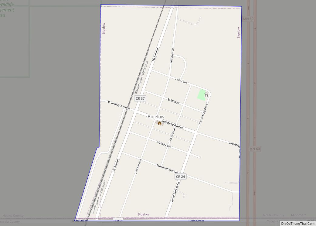
Bigelow is a city in Nobles County, Minnesota, United States. The population was 235 at the 2010 census. Bigelow city overview: Name: Bigelow city LSAD Code: 25 LSAD Description: city (suffix) State: Minnesota County: Nobles County Elevation: 1,644 ft (501 m) Total Area: 0.39 sq mi (1.02 km²) Land Area: 0.39 sq mi (1.02 km²) Water Area: 0.00 sq mi (0.00 km²) Total Population: 227 Population ... Read more
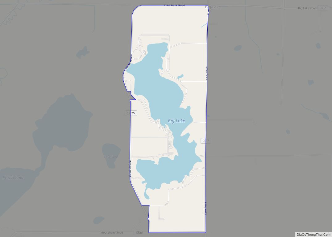
Big Lake is an unincorporated community and census-designated place (CDP) in Perch Lake Township, Carlton County, Minnesota, United States. Its population was 443 as of the 2010 census. Carlton County Road 25 (Mission Road) and County 7 (Cary Road) are two of the main routes in the community. State Highway 210 (MN 210) and the ... Read more
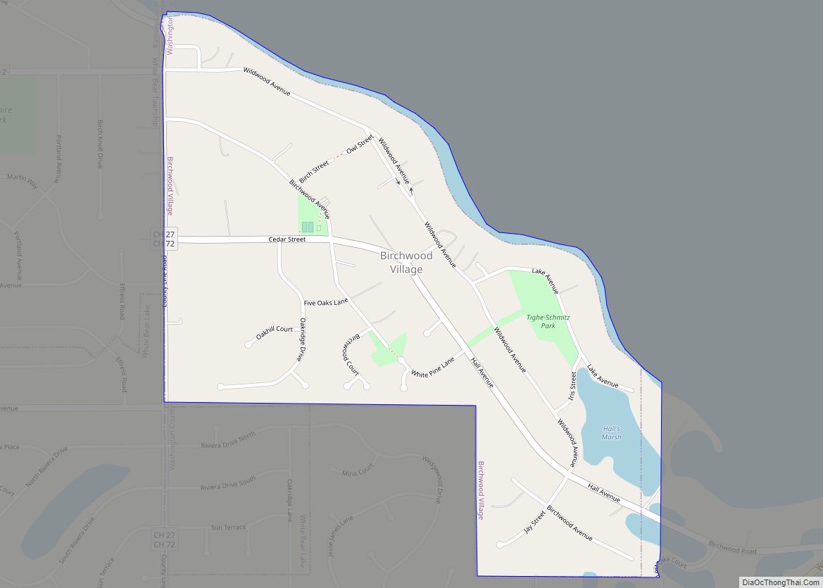
Birchwood Village is a city in Washington County, Minnesota, United States. The population was 863 at the 2020 census. Birchwood Village city overview: Name: Birchwood Village city LSAD Code: 25 LSAD Description: city (suffix) State: Minnesota County: Washington County Elevation: 988 ft (301 m) Total Area: 0.34 sq mi (0.89 km²) Land Area: 0.33 sq mi (0.86 km²) Water Area: 0.01 sq mi (0.02 km²) Total ... Read more
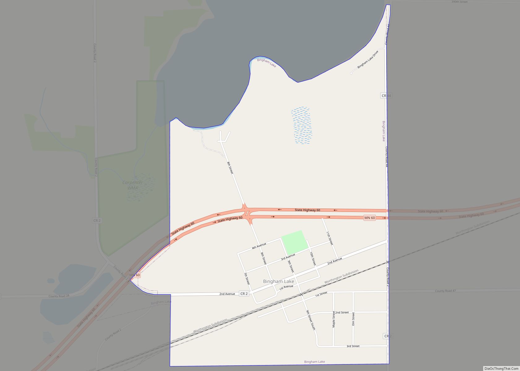
Bingham Lake is a city in Cottonwood County, Minnesota, United States. The population was 126 at the 2010 census. Bingham Lake city overview: Name: Bingham Lake city LSAD Code: 25 LSAD Description: city (suffix) State: Minnesota County: Cottonwood County Elevation: 1,421 ft (433 m) Total Area: 0.80 sq mi (2.06 km²) Land Area: 0.80 sq mi (2.06 km²) Water Area: 0.00 sq mi (0.00 km²) Total ... Read more
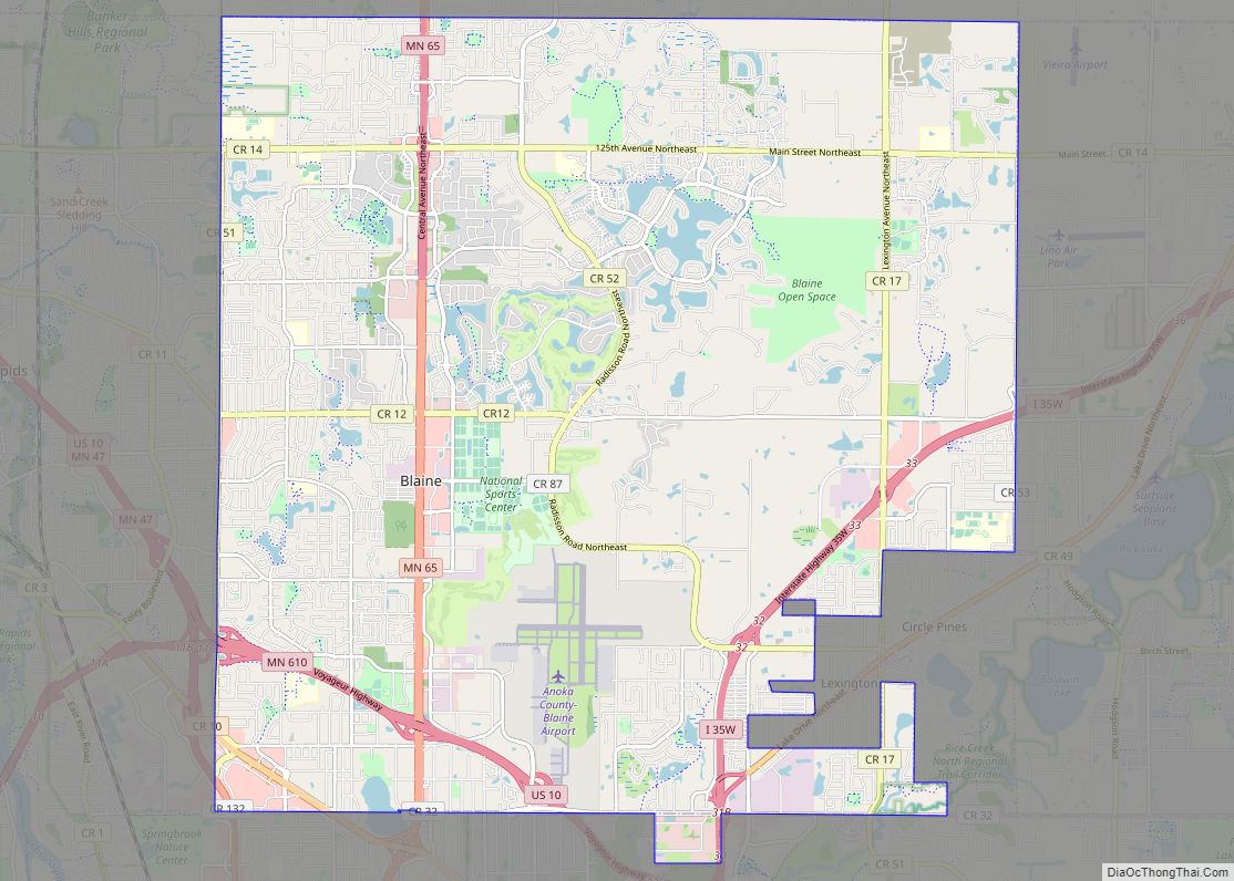
Blaine is a suburban city in Anoka and Ramsey counties in the State of Minnesota, United States. Once a rural town, Blaine’s population has increased significantly in the last 60 years. For several years, Blaine led the Twin Cities metro region in new home construction. The population was 70,222 at the 2020 census. The city ... Read more
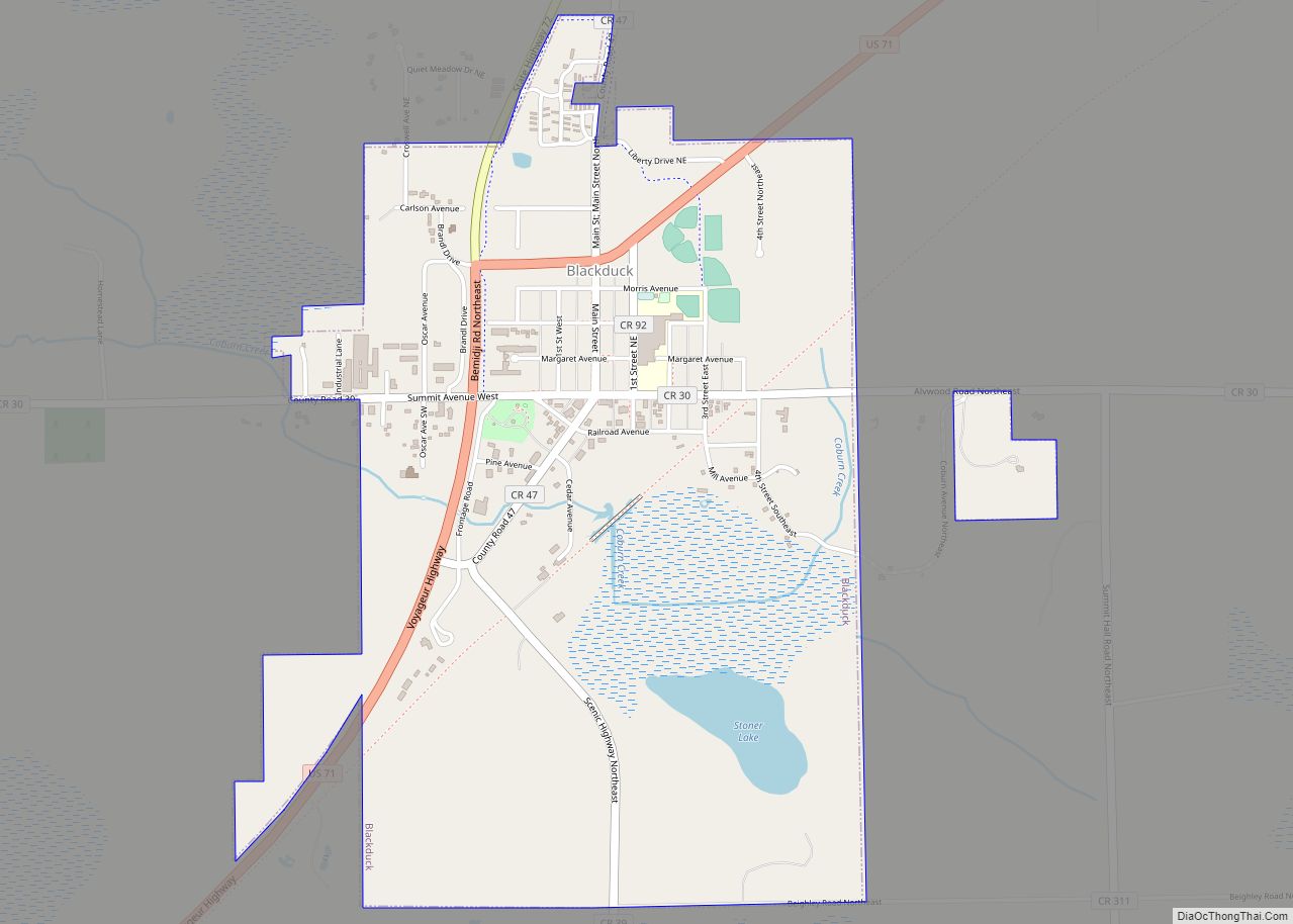
Blackduck is a city in Beltrami County, Minnesota, United States. The population was 845 as of the 2020 census. It is located 24 mi (39 km) northeast of Bemidji. Blackduck city overview: Name: Blackduck city LSAD Code: 25 LSAD Description: city (suffix) State: Minnesota County: Beltrami County Elevation: 1,398 ft (426 m) Total Area: 1.59 sq mi (4.13 km²) Land Area: 1.55 sq mi ... Read more
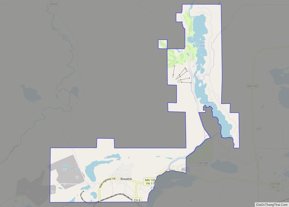
Biwabik (/ˈbaɪwəbɪk/ BY-wə-bik) is a city in Saint Louis County, Minnesota, United States. The population was 961 at the 2020 census. State Highway 135 (MN 135) and Vermilion Trail (County 4) are two of the main routes in Biwabik. Its name is derived from the Ojibwe word for ‘iron’, biwabiko-nabik-wan. Biwabik is the gateway to ... Read more
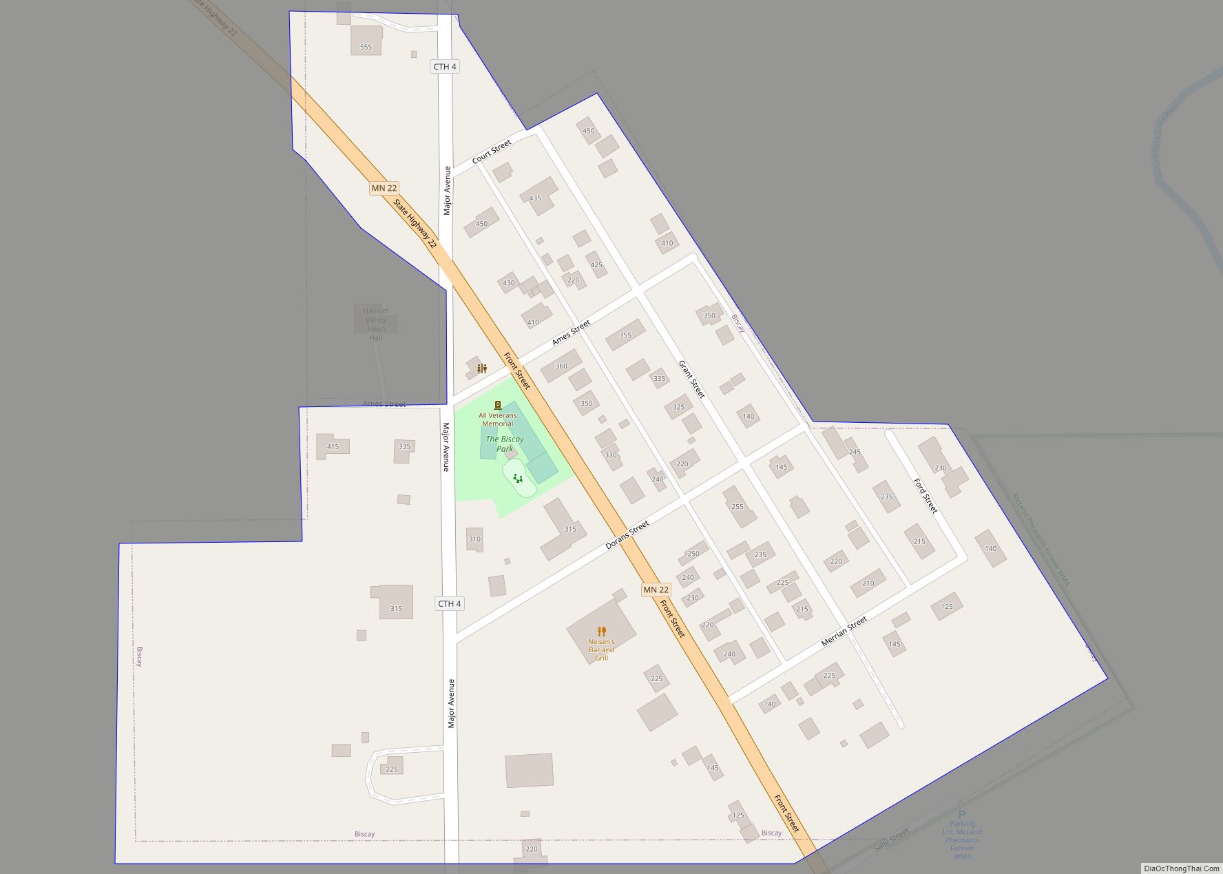
Biscay (/ˈbɪski/ BISK-ee) is a city in McLeod County, Minnesota, United States. The population was 113 at the 2010 census. Biscay city overview: Name: Biscay city LSAD Code: 25 LSAD Description: city (suffix) State: Minnesota County: McLeod County Elevation: 1,024 ft (312 m) Total Area: 0.07 sq mi (0.19 km²) Land Area: 0.07 sq mi (0.19 km²) Water Area: 0.00 sq mi (0.00 km²) Total Population: ... Read more
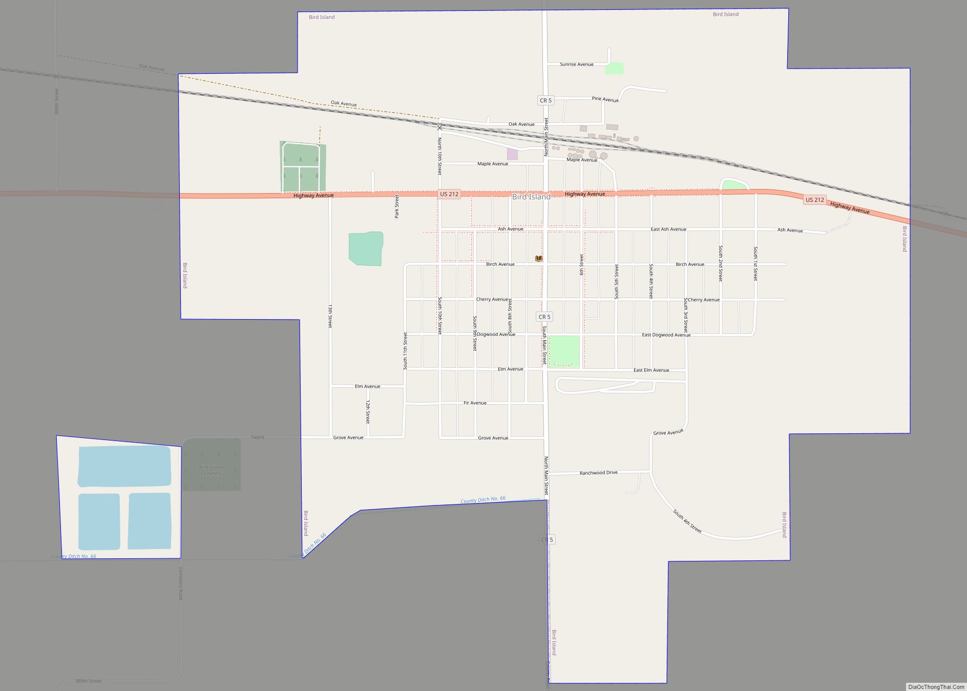
Bird Island is a city located on U.S. Route 212 in Renville County, Minnesota, United States. The population was 1,005 at the 2020 census. Bird Island city overview: Name: Bird Island city LSAD Code: 25 LSAD Description: city (suffix) State: Minnesota County: Renville County Founded: 1878 Incorporated: 1881 Elevation: 1,089 ft (332 m) Total Area: 1.52 sq mi (3.95 km²) ... Read more
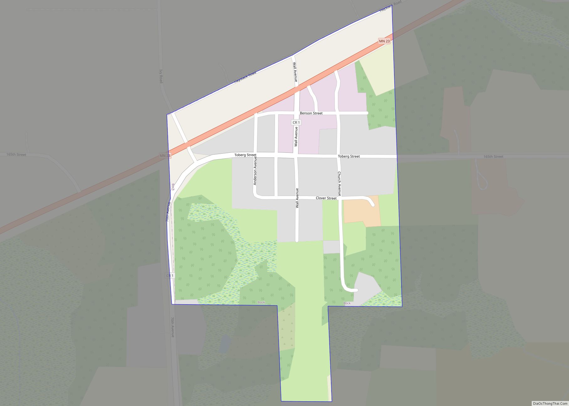
Bock is a city in Mille Lacs County, Minnesota, United States. The population was 106 at the 2010 census. Bock city overview: Name: Bock city LSAD Code: 25 LSAD Description: city (suffix) State: Minnesota County: Mille Lacs County Elevation: 1,102 ft (336 m) Total Area: 0.17 sq mi (0.43 km²) Land Area: 0.17 sq mi (0.43 km²) Water Area: 0.00 sq mi (0.00 km²) Total Population: ... Read more
