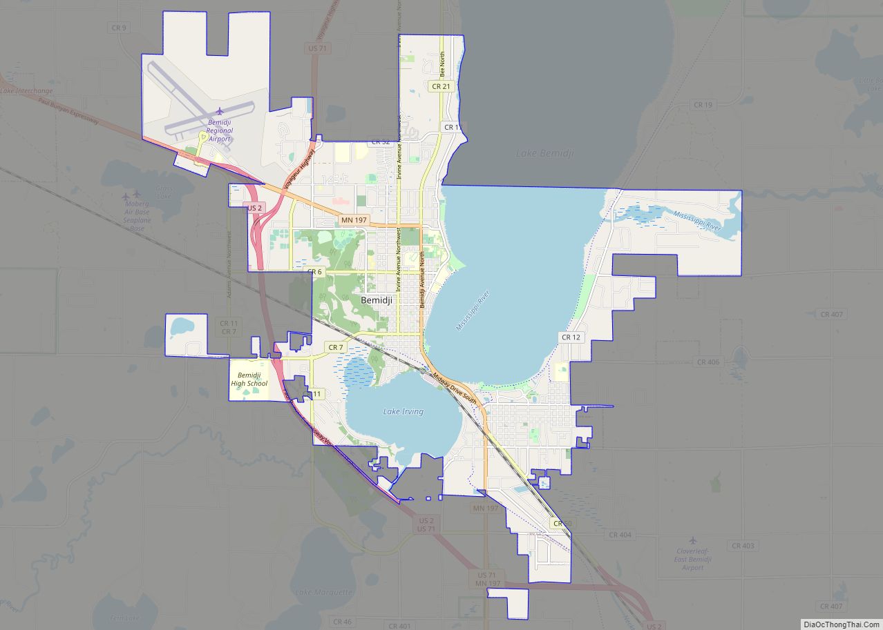
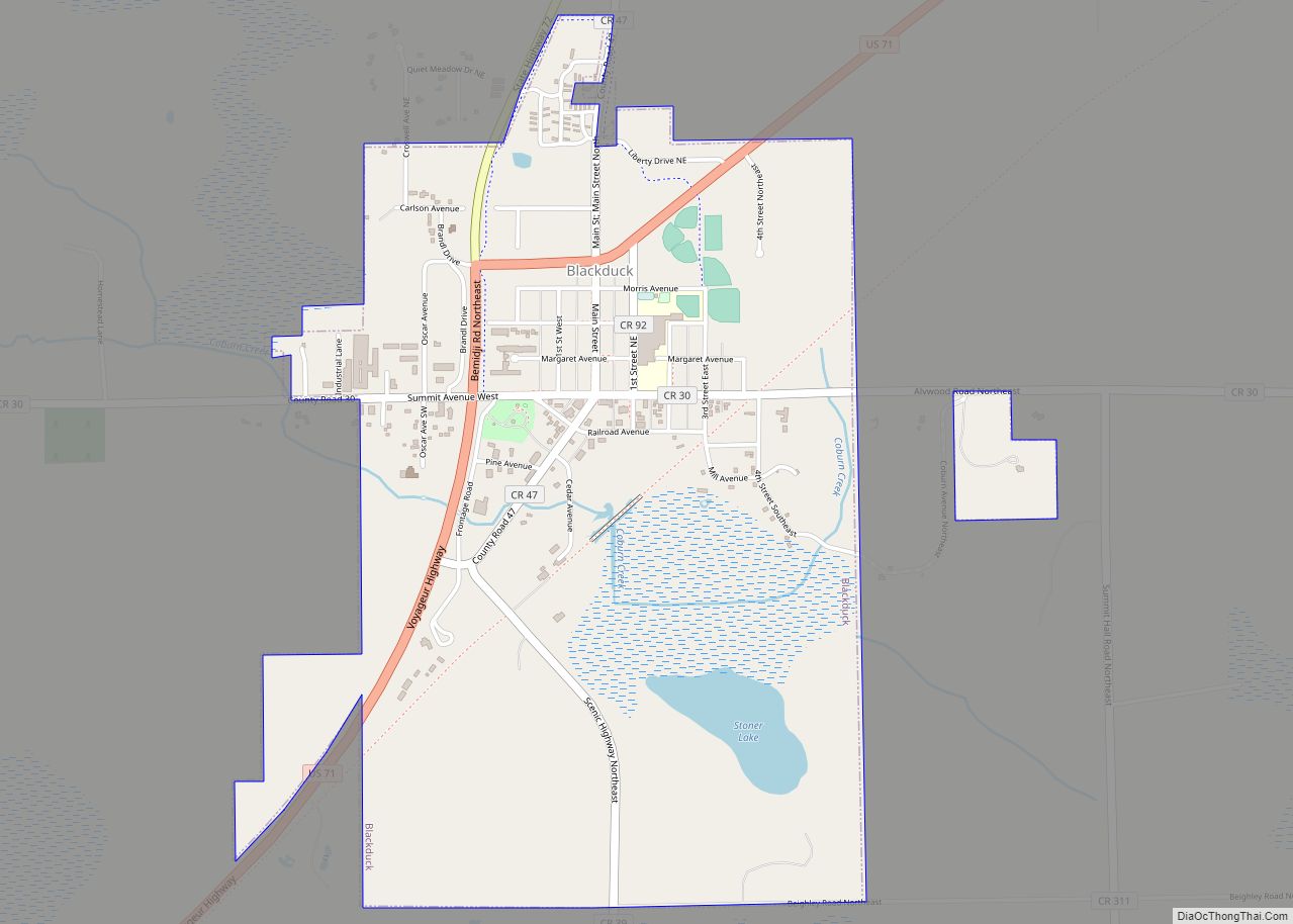
Blackduck is a city in Beltrami County, Minnesota, United States. The population was 845 as of the 2020 census. It is located 24 mi (39 km) northeast of Bemidji.
| Name: | Blackduck city |
|---|---|
| LSAD Code: | 25 |
| LSAD Description: | city (suffix) |
| State: | Minnesota |
| County: | Beltrami County |
| Elevation: | 1,398 ft (426 m) |
| Total Area: | 1.59 sq mi (4.13 km²) |
| Land Area: | 1.55 sq mi (4.02 km²) |
| Water Area: | 0.04 sq mi (0.10 km²) |
| Total Population: | 845 |
| Population Density: | 543.76/sq mi (209.94/km²) |
| ZIP code: | 56630, 56663 |
| Area code: | 218 |
| FIPS code: | 2706256 |
| GNISfeature ID: | 0655419 |
| Website: | blackduckmn.com |
Online Interactive Map
Click on ![]() to view map in "full screen" mode.
to view map in "full screen" mode.
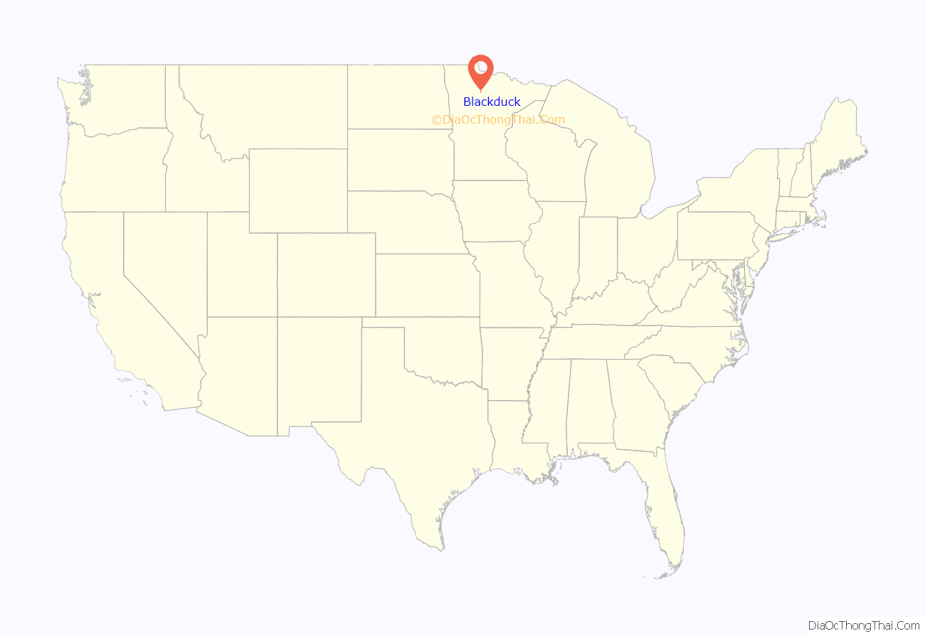
Blackduck location map. Where is Blackduck city?

History
The village of Blackduck was organized on October 19, 1900, and the city was incorporated on December 21, 1900. The first settlers of this community came from Crookston, Minnesota. The town was founded because of the great logging potential of the area. The Continental Divide is located near the area, and provided good drainage which resulted in good logging because the land was not wet. The community was named for Blackduck Lake.
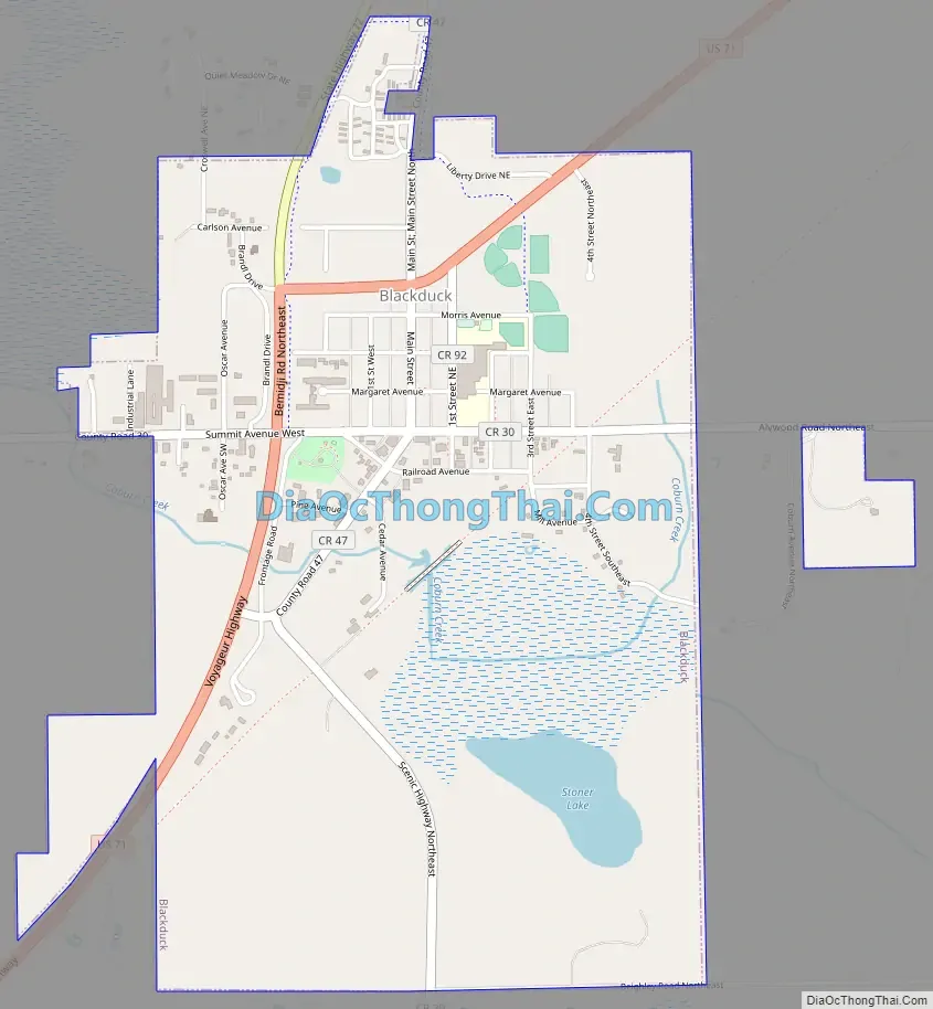
Blackduck Road Map
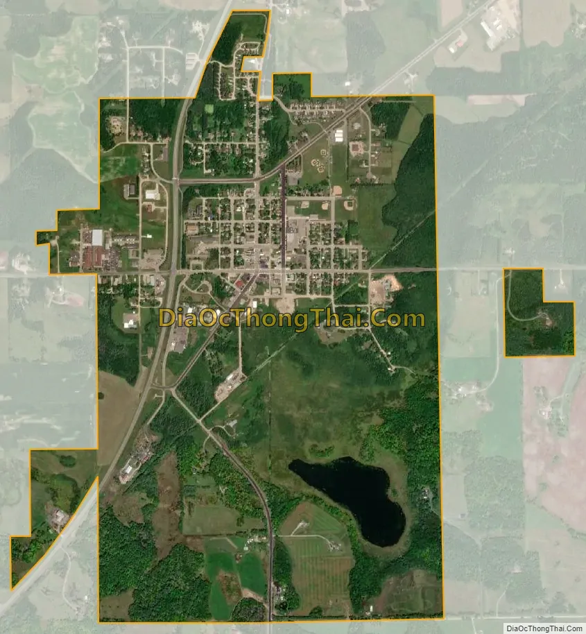
Blackduck city Satellite Map
Geography
According to the United States Census Bureau, the city has a total area of 1.71 square miles (4.43 km), of which 1.67 square miles (4.33 km) is land and 0.04 square miles (0.10 km) is water.
Climate
See also
Map of Minnesota State and its subdivision:- Aitkin
- Anoka
- Becker
- Beltrami
- Benton
- Big Stone
- Blue Earth
- Brown
- Carlton
- Carver
- Cass
- Chippewa
- Chisago
- Clay
- Clearwater
- Cook
- Cottonwood
- Crow Wing
- Dakota
- Dodge
- Douglas
- Faribault
- Fillmore
- Freeborn
- Goodhue
- Grant
- Hennepin
- Houston
- Hubbard
- Isanti
- Itasca
- Jackson
- Kanabec
- Kandiyohi
- Kittson
- Koochiching
- Lac qui Parle
- Lake
- Lake of the Woods
- Lake Superior
- Le Sueur
- Lincoln
- Lyon
- Mahnomen
- Marshall
- Martin
- McLeod
- Meeker
- Mille Lacs
- Morrison
- Mower
- Murray
- Nicollet
- Nobles
- Norman
- Olmsted
- Otter Tail
- Pennington
- Pine
- Pipestone
- Polk
- Pope
- Ramsey
- Red Lake
- Redwood
- Renville
- Rice
- Rock
- Roseau
- Saint Louis
- Scott
- Sherburne
- Sibley
- Stearns
- Steele
- Stevens
- Swift
- Todd
- Traverse
- Wabasha
- Wadena
- Waseca
- Washington
- Watonwan
- Wilkin
- Winona
- Wright
- Yellow Medicine
- Alabama
- Alaska
- Arizona
- Arkansas
- California
- Colorado
- Connecticut
- Delaware
- District of Columbia
- Florida
- Georgia
- Hawaii
- Idaho
- Illinois
- Indiana
- Iowa
- Kansas
- Kentucky
- Louisiana
- Maine
- Maryland
- Massachusetts
- Michigan
- Minnesota
- Mississippi
- Missouri
- Montana
- Nebraska
- Nevada
- New Hampshire
- New Jersey
- New Mexico
- New York
- North Carolina
- North Dakota
- Ohio
- Oklahoma
- Oregon
- Pennsylvania
- Rhode Island
- South Carolina
- South Dakota
- Tennessee
- Texas
- Utah
- Vermont
- Virginia
- Washington
- West Virginia
- Wisconsin
- Wyoming