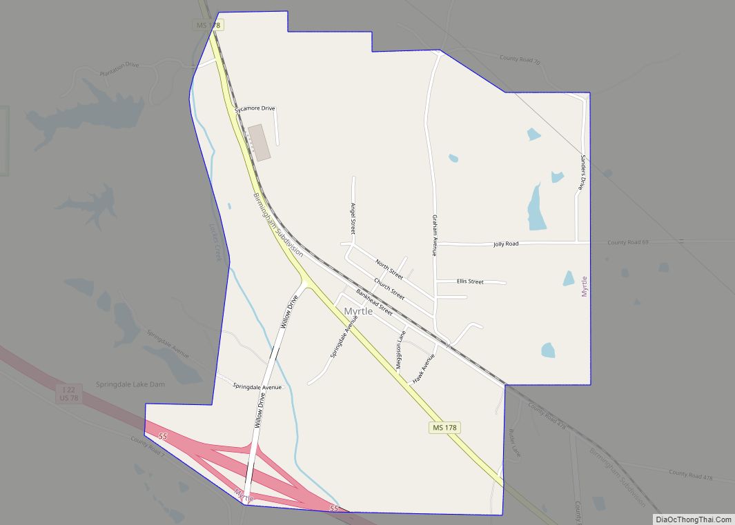
Myrtle is a town in Union County, Mississippi, United States. The population was 490 at the 2010 census. Myrtle town overview: Name: Myrtle town LSAD Code: 43 LSAD Description: town (suffix) State: Mississippi County: Union County Elevation: 404 ft (123 m) Total Area: 2.08 sq mi (5.40 km²) Land Area: 2.08 sq mi (5.40 km²) Water Area: 0.00 sq mi (0.00 km²) Total Population: 484 Population ... Read more
Mississippi Cities and Places
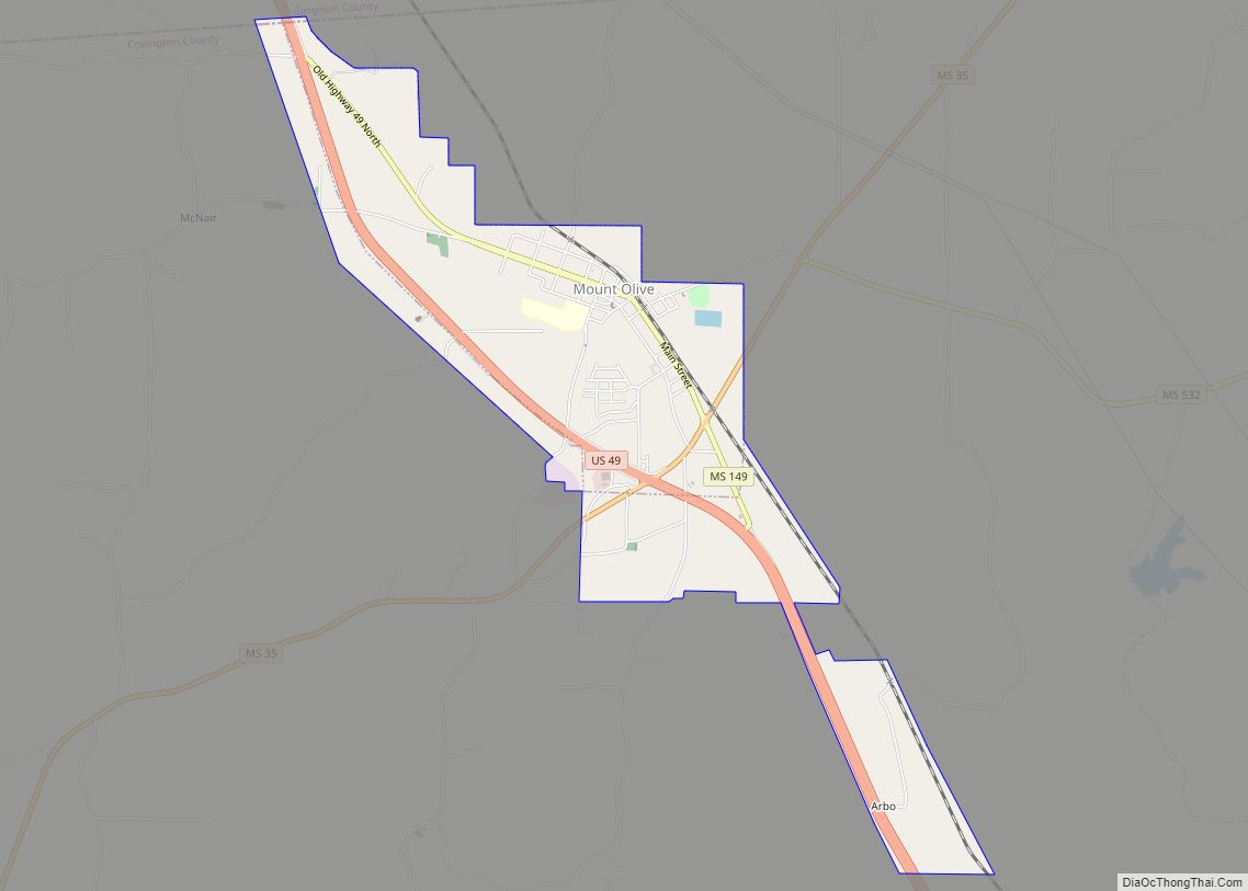
Mount Olive is a town in Covington County, Mississippi, United States. The population was 895 at the 2020 census. Mount Olive town overview: Name: Mount Olive town LSAD Code: 43 LSAD Description: town (suffix) State: Mississippi County: Covington County Elevation: 335 ft (102 m) Total Area: 3.10 sq mi (8.02 km²) Land Area: 3.10 sq mi (8.02 km²) Water Area: 0.00 sq mi (0.00 km²) Total ... Read more
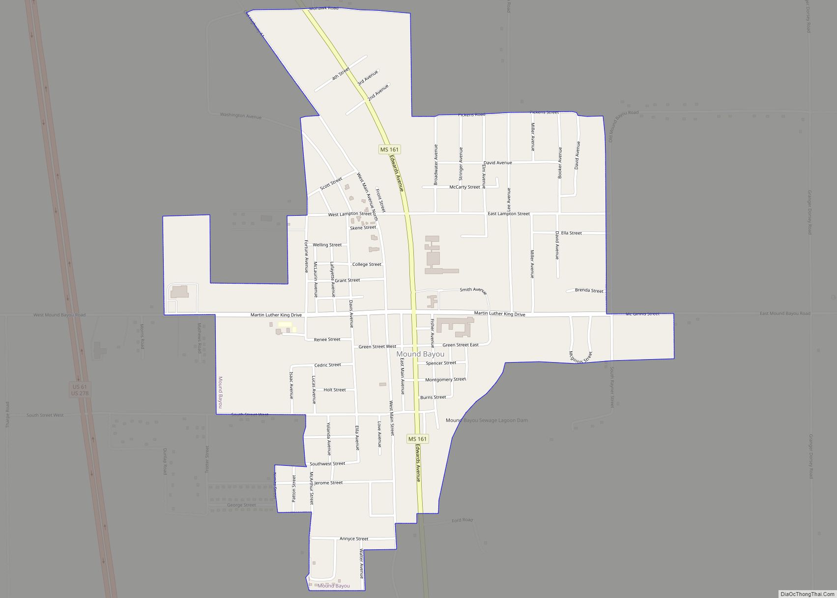
Mound Bayou is a city in Bolivar County, Mississippi, United States. The population was 1,533 at the 2010 census, down from 2,102 in 2000. It was founded as an independent black community in 1887 by former slaves led by Isaiah Montgomery. Mound Bayou Historic District is listed on the National Register of Historic Places. Mound ... Read more
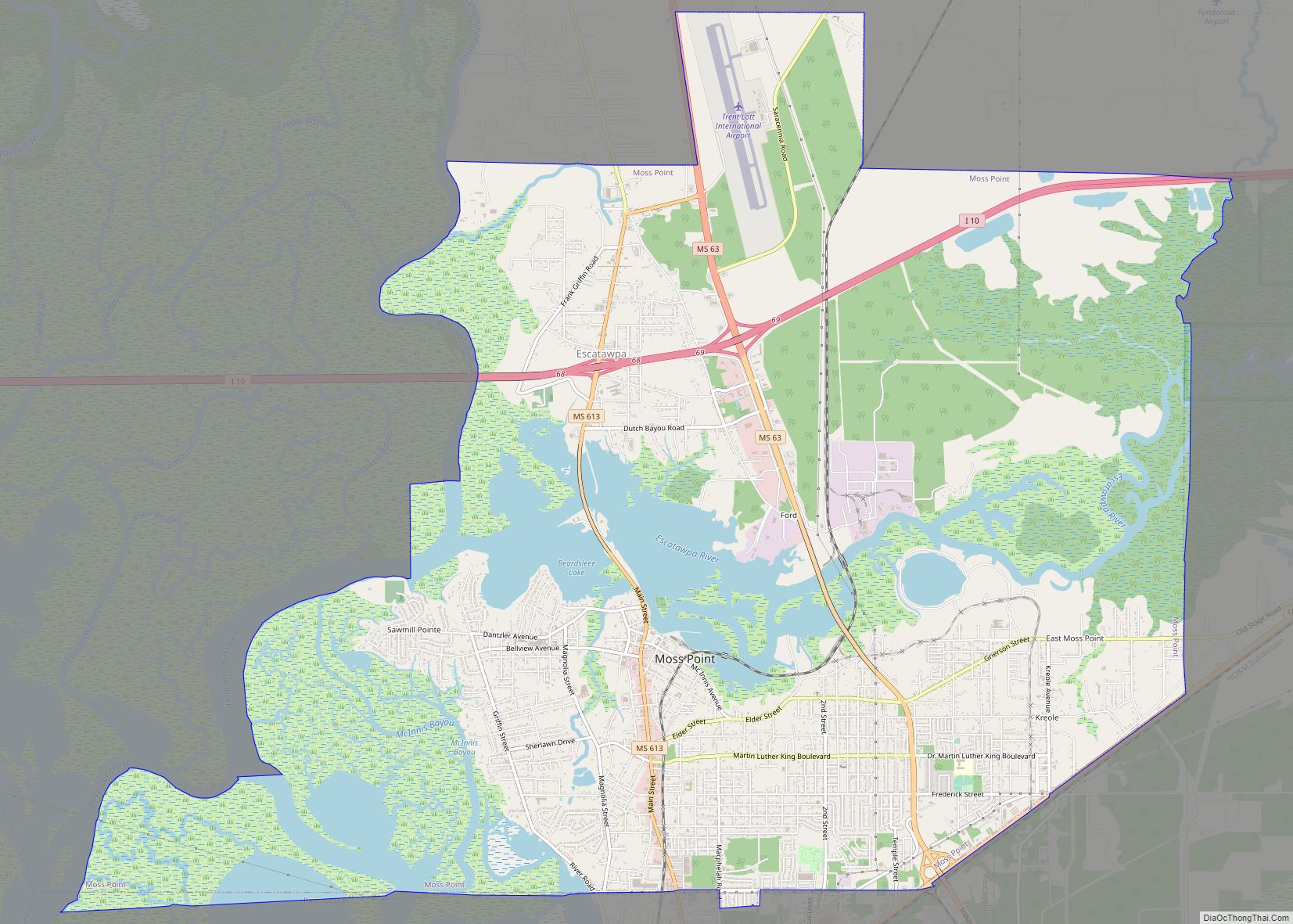
Moss Point is a city in Jackson County, Mississippi, United States. The population was 12,147 in 2020, a decline from the figure of 13,704 in 2010. The Moss Point Historic District and several individual buildings are listed on the National Register of Historic Places’ Jackson County listings. Moss Point city overview: Name: Moss Point city ... Read more
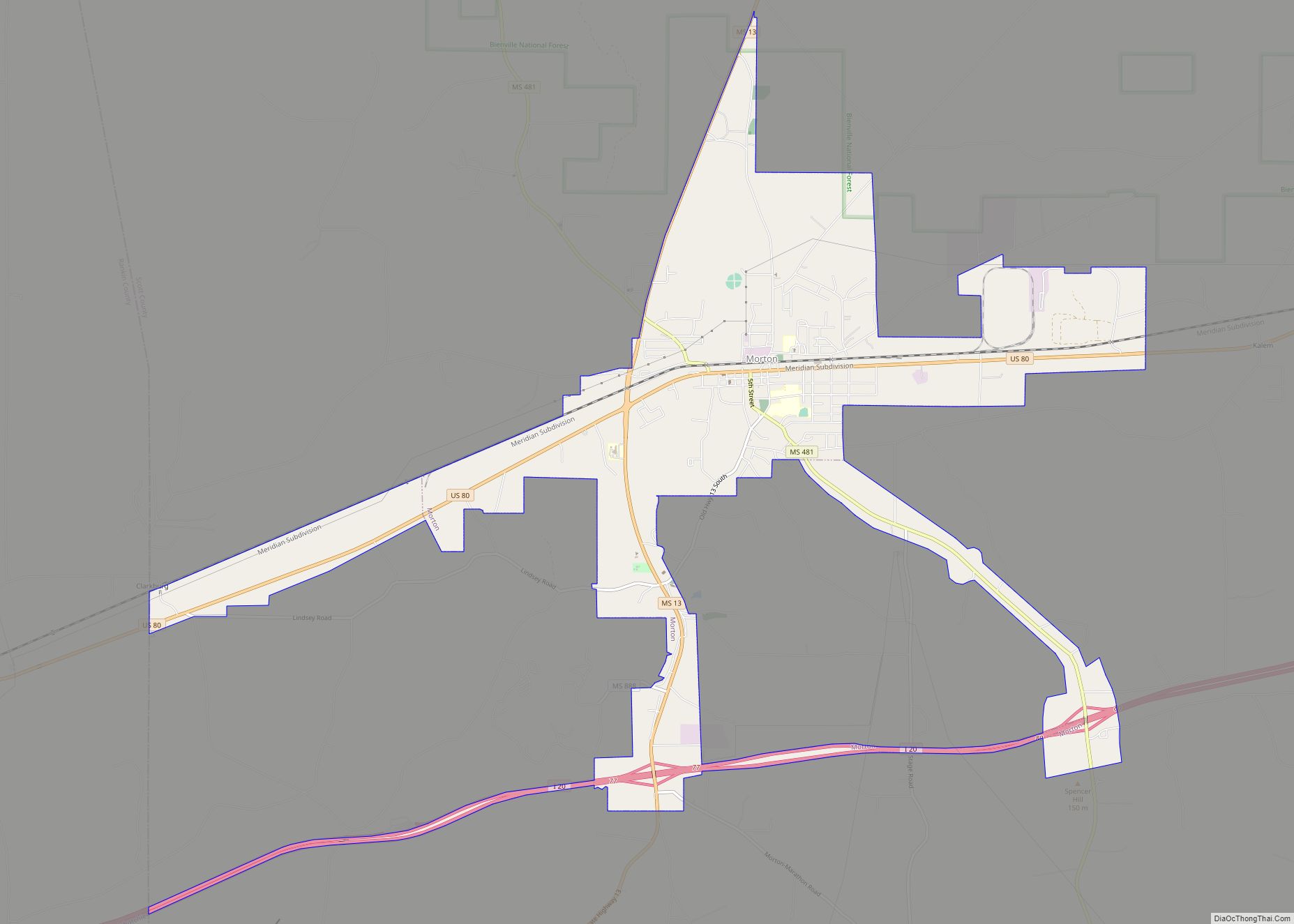
Morton is a city in Scott County, Mississippi, United States. The population was 3,462 at the 2010 census. Morton city overview: Name: Morton city LSAD Code: 25 LSAD Description: city (suffix) State: Mississippi County: Scott County Elevation: 472 ft (144 m) Total Area: 8.92 sq mi (23.11 km²) Land Area: 8.89 sq mi (23.02 km²) Water Area: 0.04 sq mi (0.09 km²) Total Population: 3,711 Population ... Read more
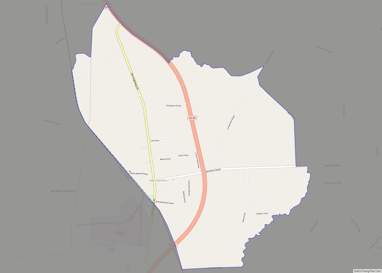
Hamilton is a census-designated place and unincorporated community in Monroe County, Mississippi. Hamilton is located on U.S. Route 45, east of the Tennessee–Tombigbee Waterway, 12 mi (19 km) north of Columbus Air Force Base. The third largest titanium dioxide manufacturing operation in the world is located in Hamilton. New Hamilton CDP overview: Name: New Hamilton CDP LSAD ... Read more
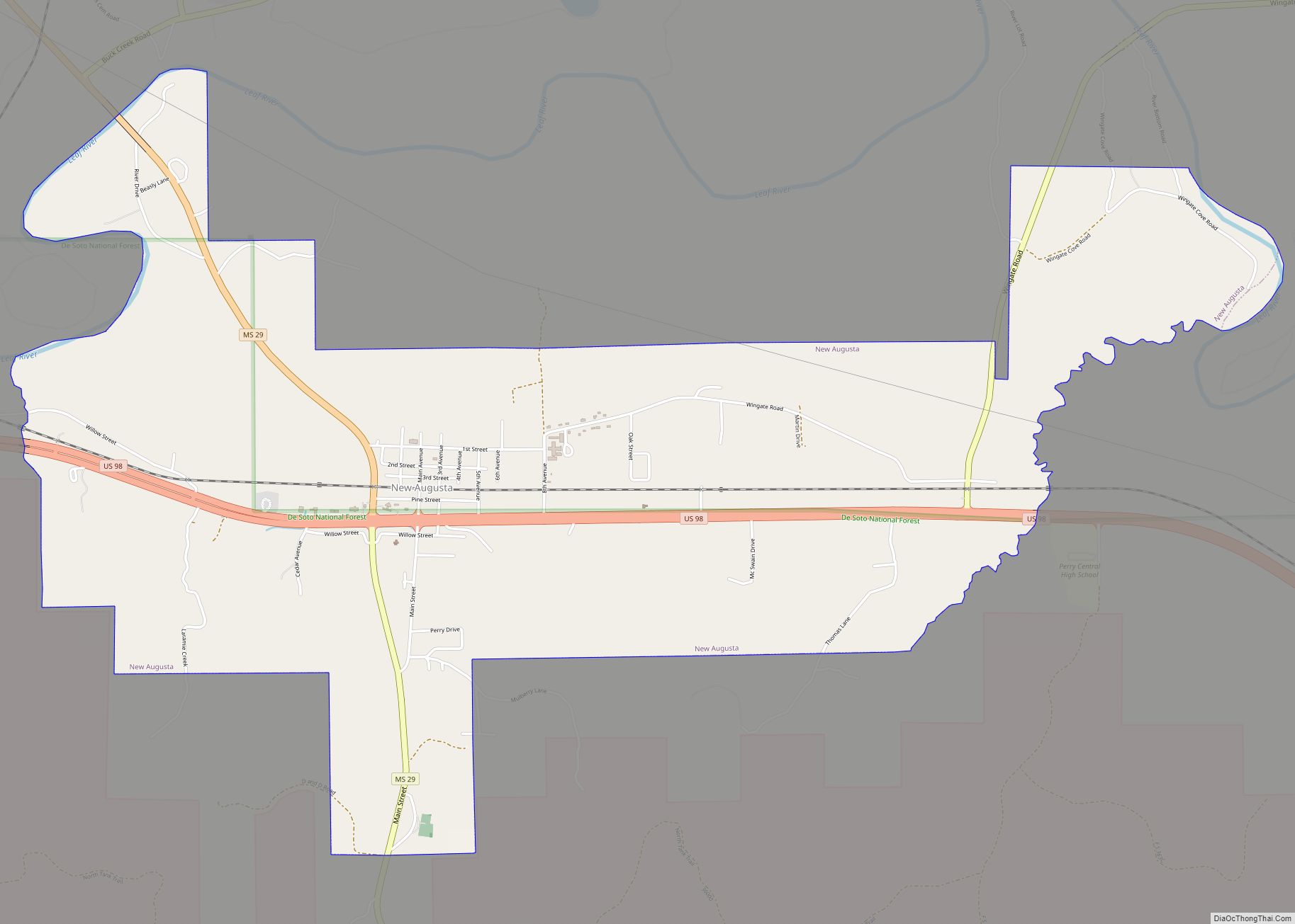
New Augusta is a town in Perry County, Mississippi. It is part of the Hattiesburg, Mississippi Metropolitan Statistical Area. The population was 644 at the 2010 census. It is the county seat of Perry County. New Augusta is located about two miles south of “Old” Augusta, which was the county seat until 1906. New Augusta ... Read more
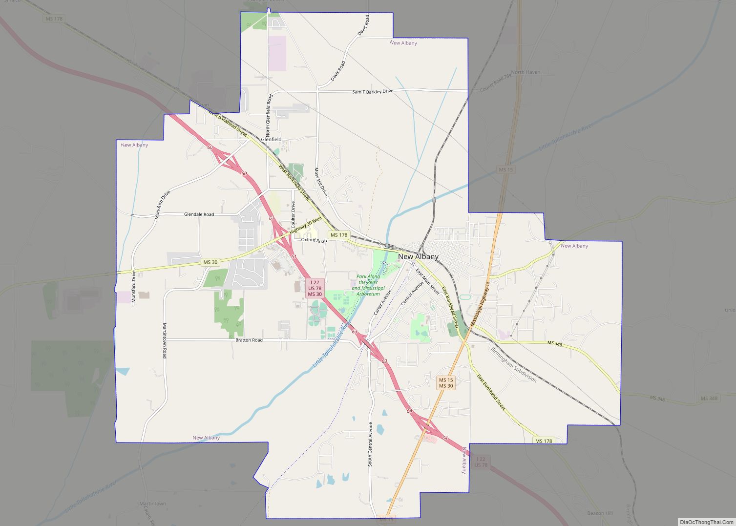
New Albany is a city in and the county seat of Union County, Mississippi, United States. According to the 2020 United States Census, the population was 7,626. New Albany city overview: Name: New Albany city LSAD Code: 25 LSAD Description: city (suffix) State: Mississippi County: Union County Elevation: 361 ft (110 m) Total Area: 18.28 sq mi (47.35 km²) Land ... Read more
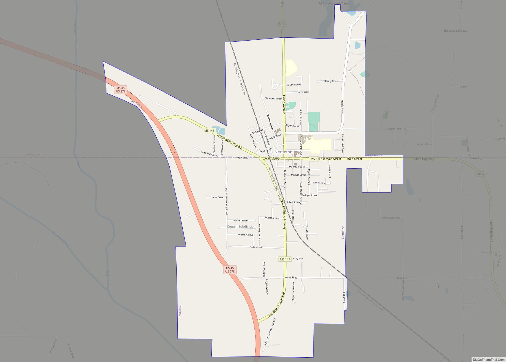
Nettleton is a town in Lee and Monroe counties in Mississippi. The population was 1,935 at the 2020 census. Incorporated in 1888, the town was named after George Henry Nettleton, president of the Kansas City, Memphis and Birmingham Railroad (KCM&B). Nettleton city overview: Name: Nettleton city LSAD Code: 25 LSAD Description: city (suffix) State: Mississippi ... Read more
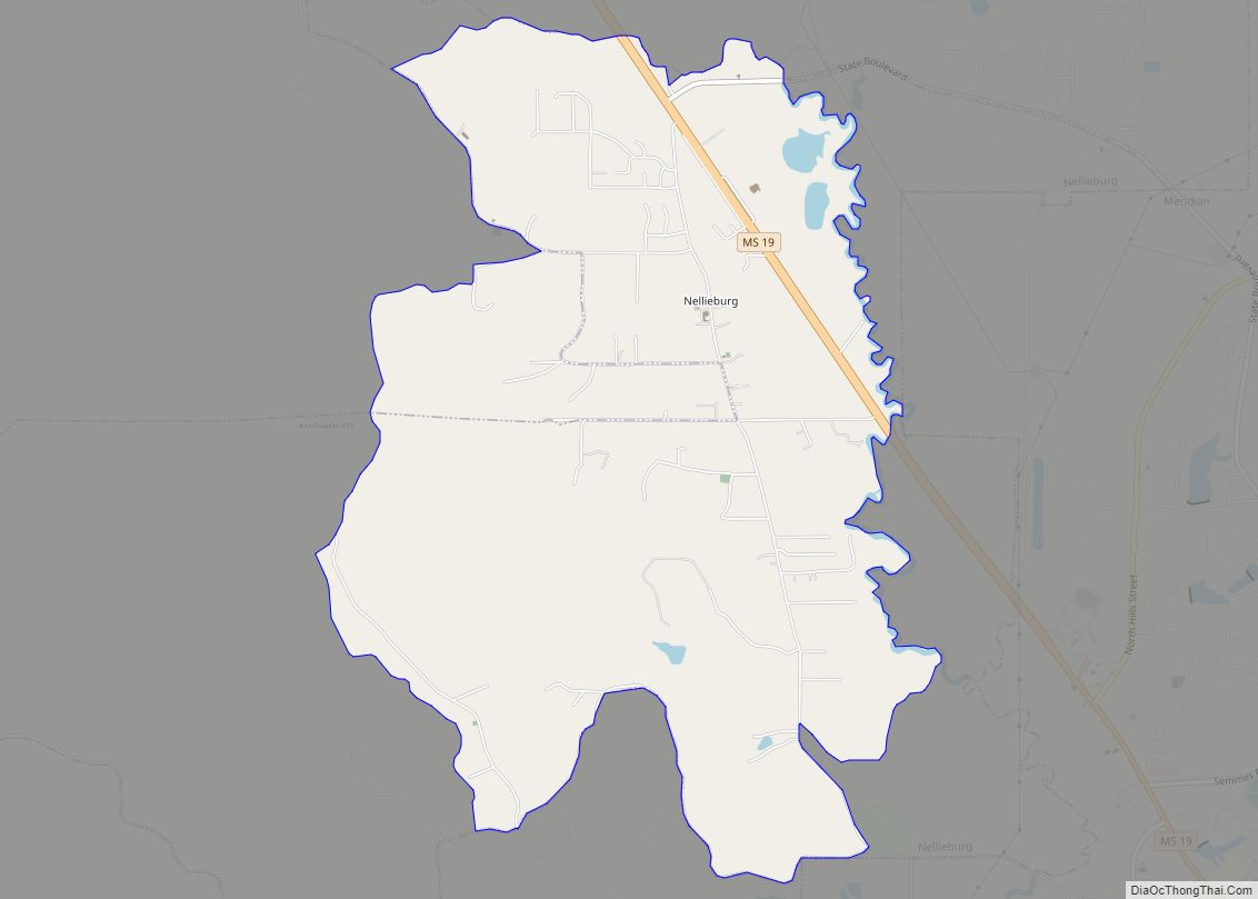
Nellieburg is an unincorporated community and census-designated place (CDP) in Lauderdale County, Mississippi, United States. The population was 1,316 at the 2020 census. It is a suburb of Meridian. Nellieburg CDP overview: Name: Nellieburg CDP LSAD Code: 57 LSAD Description: CDP (suffix) State: Mississippi County: Lauderdale County Elevation: 341 ft (104 m) Total Area: 7.13 sq mi (18.48 km²) Land ... Read more
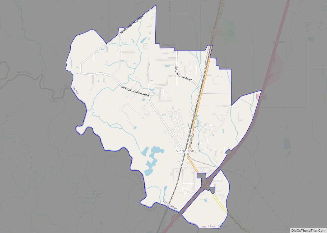
Nicholson is an unincorporated community and census-designated place (CDP) in Pearl River County, Mississippi, United States. As of the 2020 census, its population was 2,833. Its ZIP code is 39463. Nicholson CDP overview: Name: Nicholson CDP LSAD Code: 57 LSAD Description: CDP (suffix) State: Mississippi County: Pearl River County Elevation: 49 ft (15 m) Total Area: 6.25 sq mi ... Read more
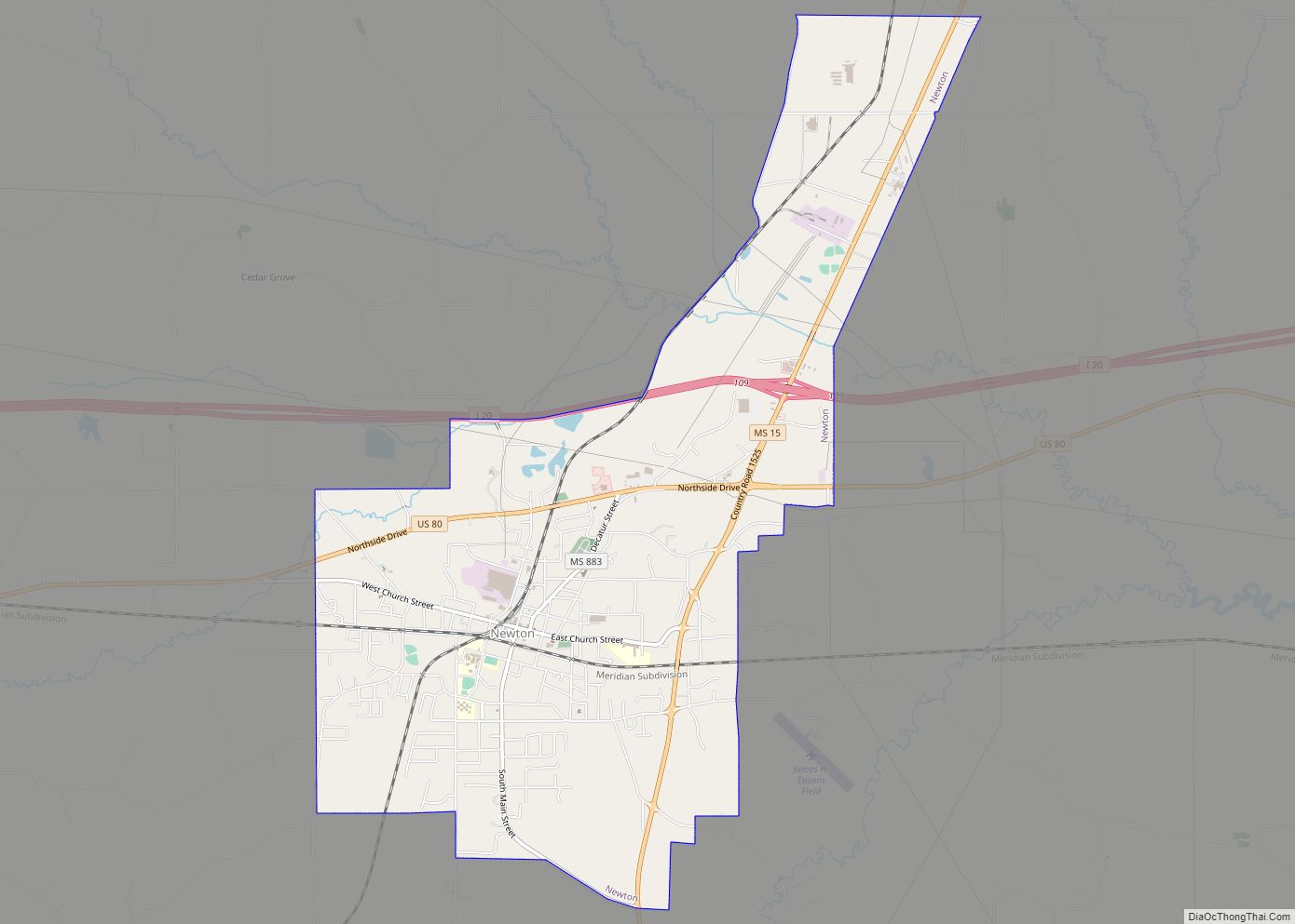
Newton is a city in Newton County, Mississippi. The population was 3,195 in the 2020 census. Newton city overview: Name: Newton city LSAD Code: 25 LSAD Description: city (suffix) State: Mississippi County: Newton County Elevation: 423 ft (129 m) Total Area: 7.17 sq mi (18.57 km²) Land Area: 7.15 sq mi (18.53 km²) Water Area: 0.02 sq mi (0.04 km²) Total Population: 3,195 Population Density: 446.67/sq mi ... Read more
