Mound Bayou is a city in Bolivar County, Mississippi, United States. The population was 1,533 at the 2010 census, down from 2,102 in 2000. It was founded as an independent black community in 1887 by former slaves led by Isaiah Montgomery. Mound Bayou Historic District is listed on the National Register of Historic Places.
Mound Bayou has a 96.8% African-American majority population in 2020, one of the largest of any community in the United States. The current mayor of Mound Bayou is Leighton Aldridge.
| Name: | Mound Bayou city |
|---|---|
| LSAD Code: | 25 |
| LSAD Description: | city (suffix) |
| State: | Mississippi |
| County: | Bolivar County |
| Founded: | July 12, 1887 |
| Elevation: | 144 ft (44 m) |
| Total Area: | 0.88 sq mi (2.27 km²) |
| Land Area: | 0.88 sq mi (2.27 km²) |
| Water Area: | 0.00 sq mi (0.00 km²) |
| Total Population: | 1,534 |
| Population Density: | 1,749.14/sq mi (675.62/km²) |
| ZIP code: | 38762 |
| Area code: | 662 |
| FIPS code: | 2849320 |
| GNISfeature ID: | 0673895 |
| Website: | www.cityofmoundbayou.com |
Online Interactive Map
Click on ![]() to view map in "full screen" mode.
to view map in "full screen" mode.
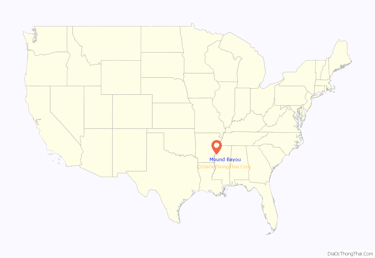
Mound Bayou location map. Where is Mound Bayou city?
History
Mound Bayou traces its origin to freed African Americans from the community of Davis Bend, Mississippi. Davis Bend was started in the 1820s by planter Joseph E. Davis (elder brother of former Confederate president Jefferson Davis), who intended to create a model slave community on his plantation. Davis was influenced by the utopian ideas of Robert Owen. He encouraged self-leadership in the slave community, provided a higher standard of nutrition and health and dental care, and allowed slaves to become merchants. In the aftermath of the Civil War, Davis Bend became an autonomous free community when Davis sold his property to former slave Benjamin Montgomery, who had run a store and been a prominent leader at Davis Bend. The prolonged agricultural depression, falling cotton prices, flooding by the Mississippi River, and white hostility in the region contributed to the economic failure of Davis Bend.
Isaiah T. Montgomery led the founding of Mound Bayou in 1887 in wilderness in northwest Mississippi. The bottomlands of the Delta were a relatively undeveloped frontier, and blacks had a chance to make money by clearing land and use the profits to buy lands in such frontier areas. By 1900 two-thirds of the owners of land in the bottomlands were black farmers. With the loss of political power due to state disenfranchisement, high debt and continuing agricultural problems, most of them lost their land and by 1920 were landless sharecroppers. As cotton prices fell, the town suffered a severe economic decline in the 1920s and 1930s.
Shortly after a fire destroyed much of the business district, Mound Bayou began to revive in 1942 after the opening of the Taborian Hospital by the International Order of Twelve Knights and Daughters of Tabor, a fraternal organization. For more than two decades, under its Chief Grand Mentor Perry M. Smith, the hospital provided low-cost health care to thousands of blacks in the Mississippi Delta. The chief surgeon was Dr. T.R.M. Howard, who eventually became one of the wealthiest black men in the state. Howard owned a plantation of more than 1,000 acres (4.0 km), a home-construction firm, and a small zoo, and he built the first swimming pool for blacks in Mississippi.
In 1952, Medgar Evers moved to Mound Bayou to sell insurance for Howard’s Magnolia Mutual Life Insurance Company. Howard introduced Evers to civil rights activism through the Regional Council of Negro Leadership which organized a boycott against service stations that refused to provide restrooms for blacks. The RCNL’s annual rallies in Mound Bayou between 1952 and 1955 drew crowds of ten thousand or more. During the trial of Emmett Till’s killers, black reporters and witnesses stayed in Howard’s Mound Bayou home, and Howard gave them an armed escort to the courthouse in Sumner.
Author Michael Premo wrote:
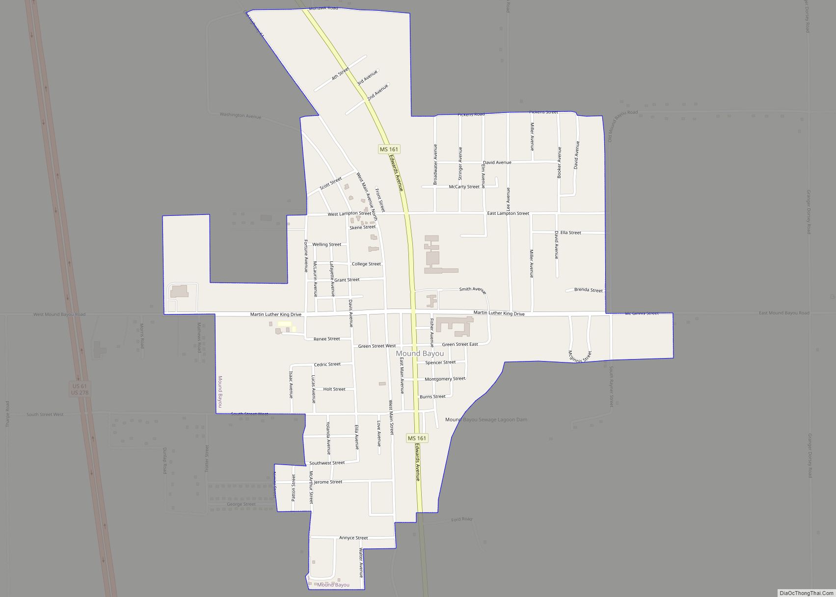
Mound Bayou Road Map
Mound Bayou city Satellite Map
Geography
U.S. Routes 61 and 278 bypass Mound Bayou to the west and lead south 9 miles (14 km) to Cleveland, the largest city in Bolivar County, and north 27 miles (43 km) to Clarksdale.
According to the United States Census Bureau, the city of Mound Bayou has a total area of 0.9 square miles (2.3 km), all land.
See also
Map of Mississippi State and its subdivision:- Adams
- Alcorn
- Amite
- Attala
- Benton
- Bolivar
- Calhoun
- Carroll
- Chickasaw
- Choctaw
- Claiborne
- Clarke
- Clay
- Coahoma
- Copiah
- Covington
- Desoto
- Forrest
- Franklin
- George
- Greene
- Grenada
- Hancock
- Harrison
- Hinds
- Holmes
- Humphreys
- Issaquena
- Itawamba
- Jackson
- Jasper
- Jefferson
- Jefferson Davis
- Jones
- Kemper
- Lafayette
- Lamar
- Lauderdale
- Lawrence
- Leake
- Lee
- Leflore
- Lincoln
- Lowndes
- Madison
- Marion
- Marshall
- Monroe
- Montgomery
- Neshoba
- Newton
- Noxubee
- Oktibbeha
- Panola
- Pearl River
- Perry
- Pike
- Pontotoc
- Prentiss
- Quitman
- Rankin
- Scott
- Sharkey
- Simpson
- Smith
- Stone
- Sunflower
- Tallahatchie
- Tate
- Tippah
- Tishomingo
- Tunica
- Union
- Walthall
- Warren
- Washington
- Wayne
- Webster
- Wilkinson
- Winston
- Yalobusha
- Yazoo
- Alabama
- Alaska
- Arizona
- Arkansas
- California
- Colorado
- Connecticut
- Delaware
- District of Columbia
- Florida
- Georgia
- Hawaii
- Idaho
- Illinois
- Indiana
- Iowa
- Kansas
- Kentucky
- Louisiana
- Maine
- Maryland
- Massachusetts
- Michigan
- Minnesota
- Mississippi
- Missouri
- Montana
- Nebraska
- Nevada
- New Hampshire
- New Jersey
- New Mexico
- New York
- North Carolina
- North Dakota
- Ohio
- Oklahoma
- Oregon
- Pennsylvania
- Rhode Island
- South Carolina
- South Dakota
- Tennessee
- Texas
- Utah
- Vermont
- Virginia
- Washington
- West Virginia
- Wisconsin
- Wyoming
