New Albany is a city in and the county seat of Union County, Mississippi, United States. According to the 2020 United States Census, the population was 7,626.
| Name: | New Albany city |
|---|---|
| LSAD Code: | 25 |
| LSAD Description: | city (suffix) |
| State: | Mississippi |
| County: | Union County |
| Elevation: | 361 ft (110 m) |
| Total Area: | 18.28 sq mi (47.35 km²) |
| Land Area: | 18.23 sq mi (47.22 km²) |
| Water Area: | 0.05 sq mi (0.13 km²) |
| Total Population: | 7,626 |
| Population Density: | 418.25/sq mi (161.49/km²) |
| ZIP code: | 38652 |
| Area code: | 662 |
| FIPS code: | 2851000 |
| GNISfeature ID: | 0694153 |
Online Interactive Map
Click on ![]() to view map in "full screen" mode.
to view map in "full screen" mode.
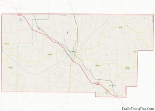
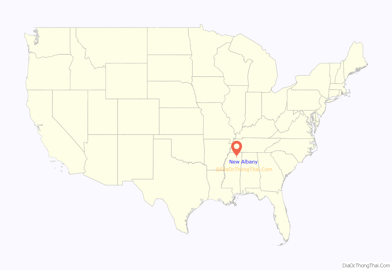
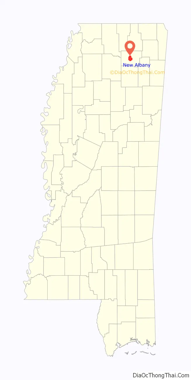
New Albany location map. Where is New Albany city?
History
New Albany was founded in 1840 at the site of a grist mill and sawmill on the Tallahatchie River near the intersection of two Chickasaw trade trails. The town developed as a river port and as a regional center for agriculture and commerce.
During the Civil War the United States Cavalry under Benjamin Grierson passed through New Albany on their way to raid Vicksburg, when they encountered Confederate troops attempting to destroy the bridge over the Tallahatchie. The Confederate troops fled and the bridge was preserved.
Union County was formed from parts of neighboring Pontotoc, and Tippah Counties in 1870, with New Albany designated as county seat. In the late 1880s two railroads the Kansas City, Memphis and Birmingham Railroad and the Gulf and Ship Island Railroad came to New Albany. In 2013, a section of railroad was paved to become the Tanglefoot Trail, following the path of a rail that was once operated by author William Faulkner’s grandfather.
Lynching of L.Q. Ivy
In 1925 L. Q. Ivy, a 17-year-old African American boy, was accused of assaulting a White woman, who said Ivy “might be” her attacker. A crowd of 4,000 gathered in New Albany and despite efforts from the victim’s father and US senator Hubert D. Stephens to prevent a lynching, the crowd gained control, torturing and killing Ivy.
Suicide of Ronnie McNutt
In 2020, Ronnie McNutt, an Iraq war veteran, committed suicide in New Albany on a Facebook Livestream. The case was well-known because the video of his suicide was spread across social media platforms.
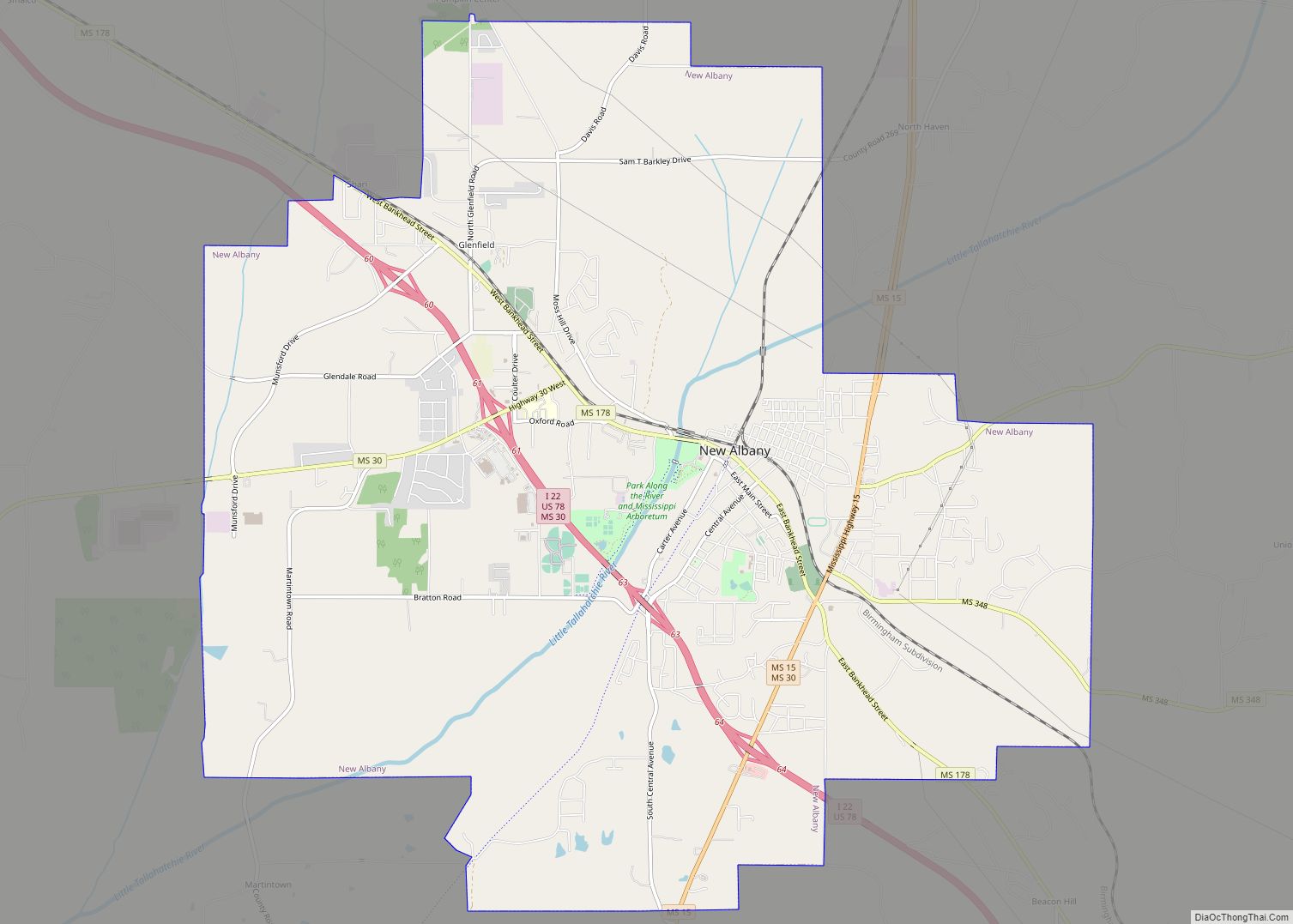
New Albany Road Map
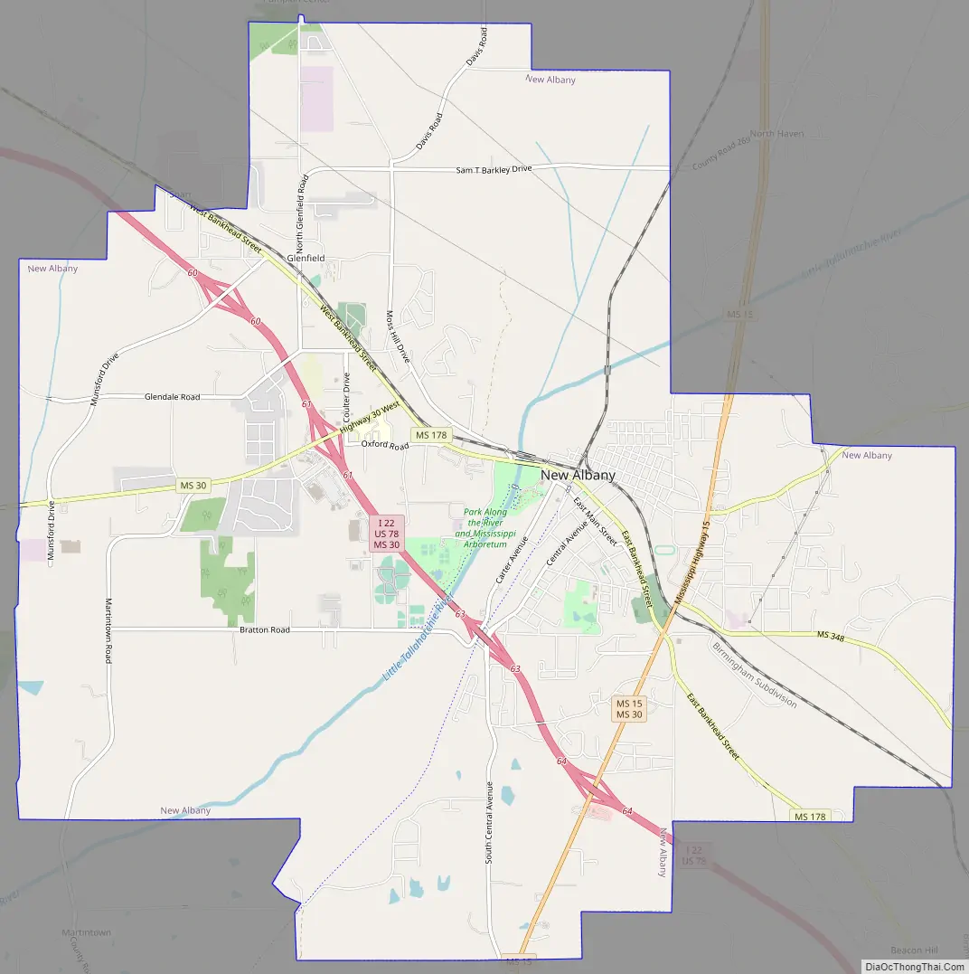
New Albany city Satellite Map
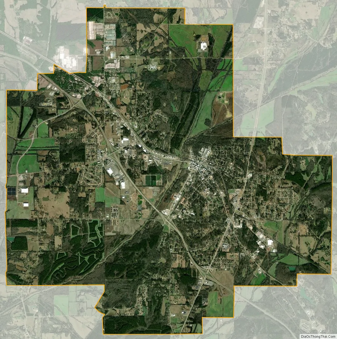
Geography
According to the United States Census Bureau, the city has a total area of 17.1 square miles (44 km), of which 17.0 square miles (44 km) is land and 0.1 square miles (0.26 km) (0.35%) is water.
See also
Map of Mississippi State and its subdivision:- Adams
- Alcorn
- Amite
- Attala
- Benton
- Bolivar
- Calhoun
- Carroll
- Chickasaw
- Choctaw
- Claiborne
- Clarke
- Clay
- Coahoma
- Copiah
- Covington
- Desoto
- Forrest
- Franklin
- George
- Greene
- Grenada
- Hancock
- Harrison
- Hinds
- Holmes
- Humphreys
- Issaquena
- Itawamba
- Jackson
- Jasper
- Jefferson
- Jefferson Davis
- Jones
- Kemper
- Lafayette
- Lamar
- Lauderdale
- Lawrence
- Leake
- Lee
- Leflore
- Lincoln
- Lowndes
- Madison
- Marion
- Marshall
- Monroe
- Montgomery
- Neshoba
- Newton
- Noxubee
- Oktibbeha
- Panola
- Pearl River
- Perry
- Pike
- Pontotoc
- Prentiss
- Quitman
- Rankin
- Scott
- Sharkey
- Simpson
- Smith
- Stone
- Sunflower
- Tallahatchie
- Tate
- Tippah
- Tishomingo
- Tunica
- Union
- Walthall
- Warren
- Washington
- Wayne
- Webster
- Wilkinson
- Winston
- Yalobusha
- Yazoo
- Alabama
- Alaska
- Arizona
- Arkansas
- California
- Colorado
- Connecticut
- Delaware
- District of Columbia
- Florida
- Georgia
- Hawaii
- Idaho
- Illinois
- Indiana
- Iowa
- Kansas
- Kentucky
- Louisiana
- Maine
- Maryland
- Massachusetts
- Michigan
- Minnesota
- Mississippi
- Missouri
- Montana
- Nebraska
- Nevada
- New Hampshire
- New Jersey
- New Mexico
- New York
- North Carolina
- North Dakota
- Ohio
- Oklahoma
- Oregon
- Pennsylvania
- Rhode Island
- South Carolina
- South Dakota
- Tennessee
- Texas
- Utah
- Vermont
- Virginia
- Washington
- West Virginia
- Wisconsin
- Wyoming