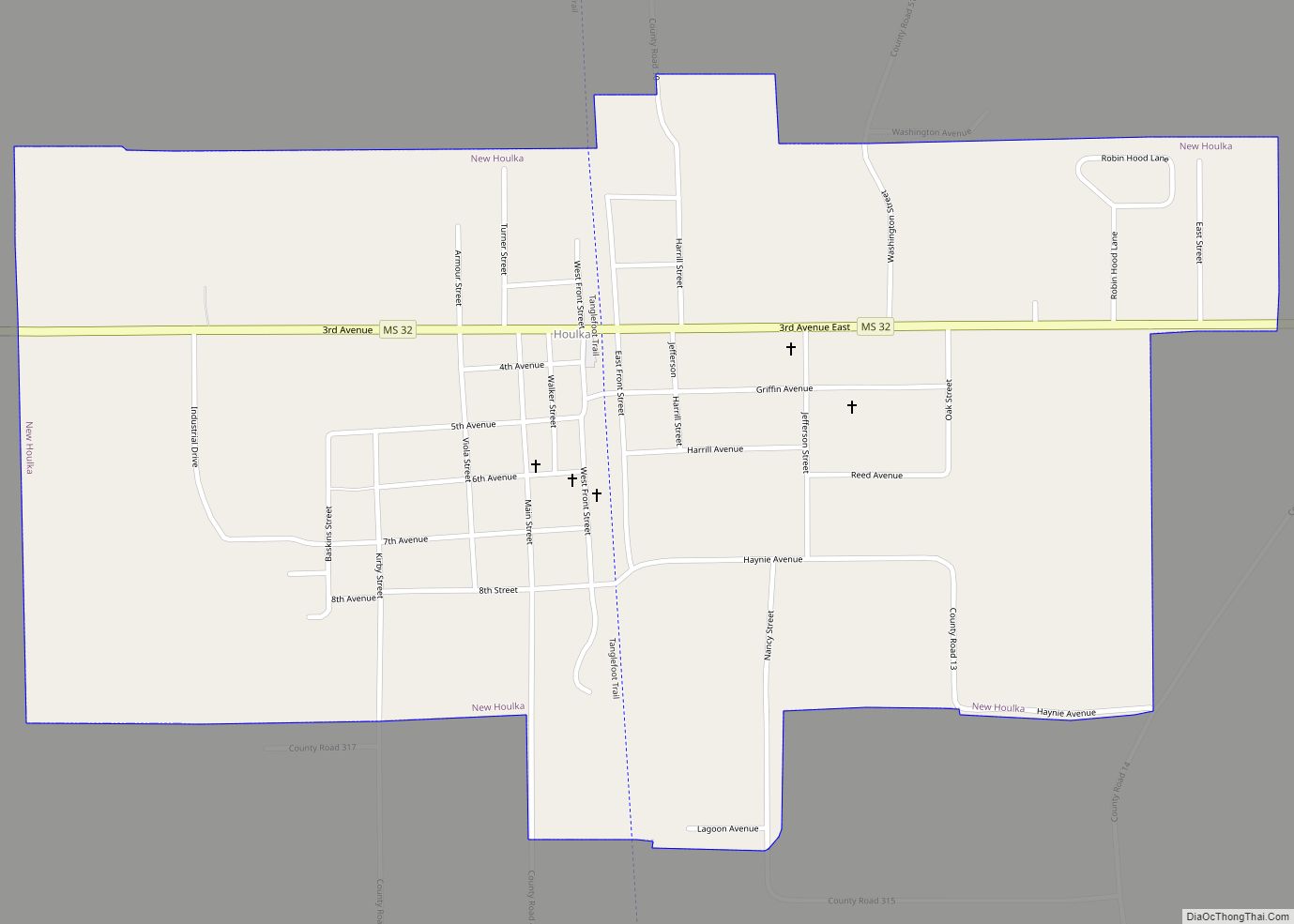
Map of New Hope CDP, Mississippi

Map of New Hope CDP, Mississippi

New Hope is a census-designated place (CDP) in Lowndes County, Mississippi, United States. As of the 2010 census, the CDP population was 3,193. New Hope CDP overview: Name: New Hope CDP LSAD Code: 57 LSAD Description: CDP (suffix) State: Mississippi County: Lowndes County Elevation: 223 ft (68 m) Total Area: 5.04 sq mi (13.06 km²) Land Area: 5.03 sq mi (13.03 km²) Water … Read more

Map of New Hebron town

Map of New Hebron town

New Hebron is a town in Lawrence County, Mississippi. The population was 447 at the 2010 census. New Hebron town overview: Name: New Hebron town LSAD Code: 43 LSAD Description: town (suffix) State: Mississippi County: Lawrence County Elevation: 371 ft (113 m) Total Area: 0.67 sq mi (1.73 km²) Land Area: 0.67 sq mi (1.73 km²) Water Area: 0.00 sq mi (0.00 km²) Total Population: 386 … Read more

Map of Nicholson CDP, Mississippi

Map of Nicholson CDP, Mississippi

Nicholson is an unincorporated community and census-designated place (CDP) in Pearl River County, Mississippi, United States. As of the 2020 census, its population was 2,833. Its ZIP code is 39463. Nicholson CDP overview: Name: Nicholson CDP LSAD Code: 57 LSAD Description: CDP (suffix) State: Mississippi County: Pearl River County Elevation: 49 ft (15 m) Total Area: 6.25 sq mi … Read more

Map of Ocean Springs city

Map of Ocean Springs city

Ocean Springs is a city in Jackson County, Mississippi, United States, approximately 2 miles (3.2 km) east of Biloxi and west of Gautier. It is part of the Pascagoula, Mississippi Metropolitan Statistical Area. The population was 17,225 at the 2000 U.S. Census. As of the 2010 U.S. Census, the city of Ocean Springs had a population … Read more

Map of Oakland town, Mississippi

Map of Oakland town, Mississippi

Oakland is a town in Yalobusha County, Mississippi, United States. The population was 527 at the time of the 2010 census. Oakland town overview: Name: Oakland town LSAD Code: 43 LSAD Description: town (suffix) State: Mississippi County: Yalobusha County Elevation: 351 ft (107 m) Total Area: 1.53 sq mi (3.96 km²) Land Area: 1.53 sq mi (3.96 km²) Water Area: 0.00 sq mi (0.00 km²) Total … Read more

Map of Noxapater town

Map of Noxapater town

Noxapater is a town in Winston County, Mississippi. The population was 472 at the 2010 census. Noxapater town overview: Name: Noxapater town LSAD Code: 43 LSAD Description: town (suffix) State: Mississippi County: Winston County Elevation: 548 ft (167 m) Total Area: 1.01 sq mi (2.61 km²) Land Area: 1.01 sq mi (2.61 km²) Water Area: 0.00 sq mi (0.00 km²) Total Population: 390 Population Density: 387.29/sq mi … Read more

Map of North Tunica CDP

Map of North Tunica CDP

North Tunica is a census-designated place (CDP) in Tunica County, Mississippi. The population was 1,450 at the 2000 census. North Tunica CDP overview: Name: North Tunica CDP LSAD Code: 57 LSAD Description: CDP (suffix) State: Mississippi County: Tunica County Elevation: 194 ft (59 m) Total Area: 0.57 sq mi (1.47 km²) Land Area: 0.57 sq mi (1.47 km²) Water Area: 0.00 sq mi (0.00 km²) Total … Read more

Map of North Carrollton town

Map of North Carrollton town

North Carrollton is a town in Carroll County, Mississippi, United States. The population was 473 at the 2010 census. It is part of the Greenwood, Mississippi micropolitan area. North Carrollton town overview: Name: North Carrollton town LSAD Code: 43 LSAD Description: town (suffix) State: Mississippi County: Carroll County Elevation: 226 ft (69 m) Total Area: 0.32 sq mi (0.82 km²) … Read more

Map of Pace town, Mississippi

Map of Pace town, Mississippi

Pace is a town in Bolivar County, Mississippi, United States. Per the 2020 census, the population was 183. The community is named after James Henry Pace, a planter and land owner in the region. Pace town overview: Name: Pace town LSAD Code: 43 LSAD Description: town (suffix) State: Mississippi County: Bolivar County Elevation: 141 ft (43 m) … Read more

Map of Oxford city, Mississippi

Map of Oxford city, Mississippi

Oxford is a city in and the county seat of Lafayette County, Mississippi, United States. Oxford lies 75 miles (121 km) south-southeast of Memphis, Tennessee. A college town, the University of Mississippi or “Ole Miss” is located adjacent to the city. Founded in 1837, it is named for Oxford, England. Purchasing the land from a Chickasaw, … Read more

Map of Osyka town

Map of Osyka town

Osyka is a town in Pike County, Mississippi, United States. It is located on the Mississippi–Louisiana state line. The population was 440 at the 2010 census. It is part of the McComb, Mississippi Micropolitan Statistical Area. The peak of its population was in 1910. Osyka town overview: Name: Osyka town LSAD Code: 43 LSAD Description: … Read more

Map of Olive Branch city, Mississippi

Map of Olive Branch city, Mississippi

Olive Branch is a city in DeSoto County, Mississippi, United States. As of the 2020 census, the population is 39,711. Olive Branch is part of the Memphis Metropolitan Statistical Area, a region that consists of three counties in southwest Tennessee, five counties in northwest Mississippi, and two counties in eastern Arkansas. Olive Branch was the … Read more