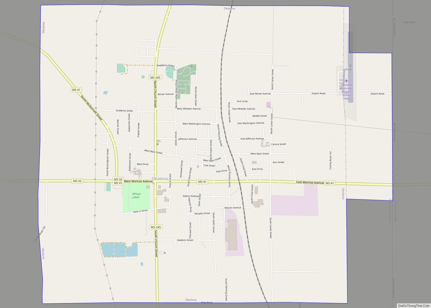
Okolona is a city in and one of the two county seats of Chickasaw County, Mississippi, United States. It is located near the eastern border of the county. The population was 2,692 at the 2010 census. It had a large furniture industry and the Wilson Park resort.
| Name: | Okolona city |
|---|---|
| LSAD Code: | 25 |
| LSAD Description: | city (suffix) |
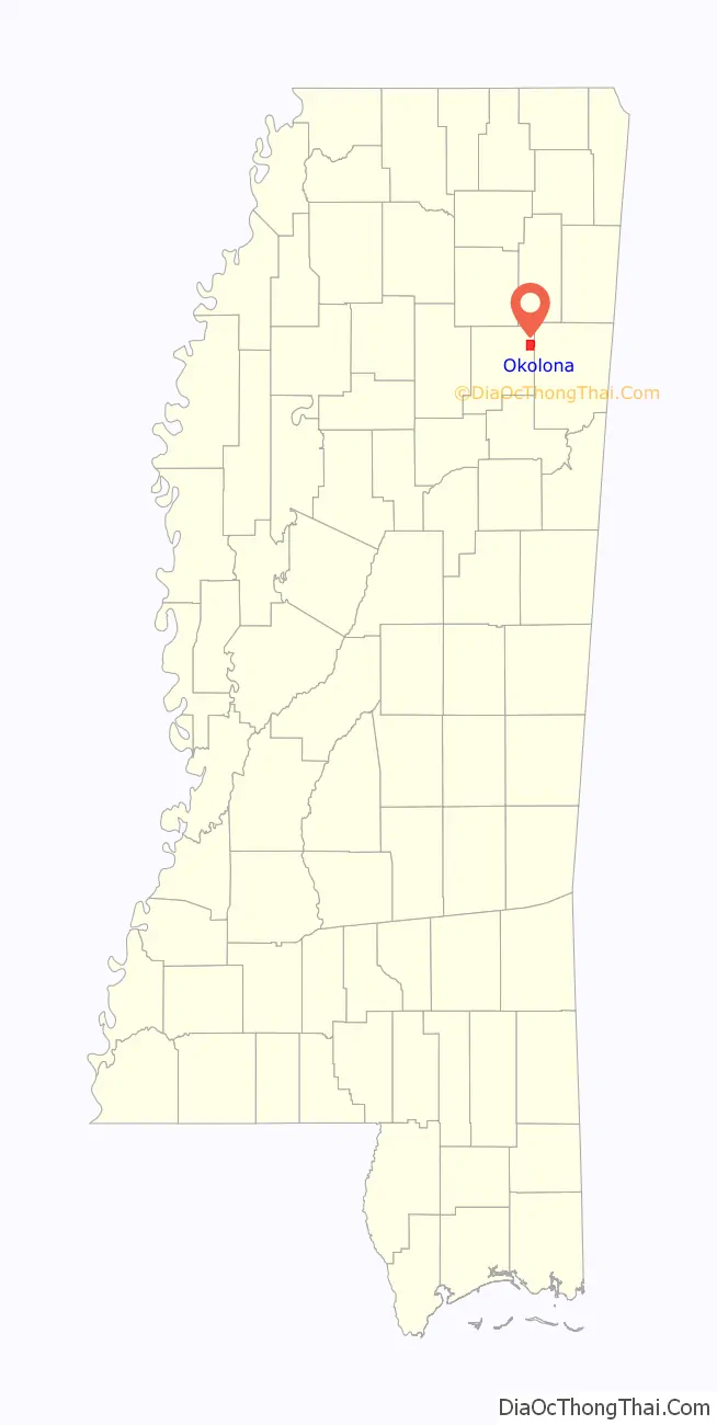
| State: | Mississippi |
| County: | Chickasaw County |
| Elevation: | 338 ft (103 m) |
| Total Area: | 7.19 sq mi (18.63 km²) |
| Land Area: | 7.18 sq mi (18.59 km²) |
| Water Area: | 0.02 sq mi (0.04 km²) |
| Total Population: | 2,513 |
| Population Density: | 350.15/sq mi (135.18/km²) |
| ZIP code: | 38860 |
| Area code: | 662 |
| FIPS code: | 2853680 |
| GNISfeature ID: | 0694253 |
| Website: | www.cityofokolona.com |
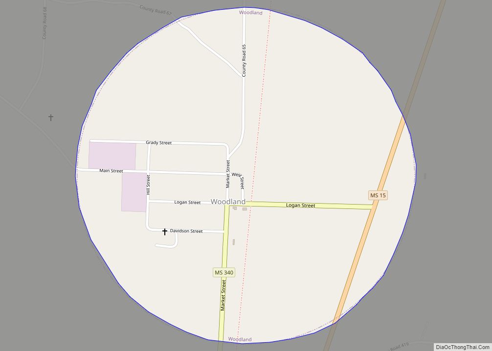
Online Interactive Map
Click on ![]() to view map in "full screen" mode.
to view map in "full screen" mode.
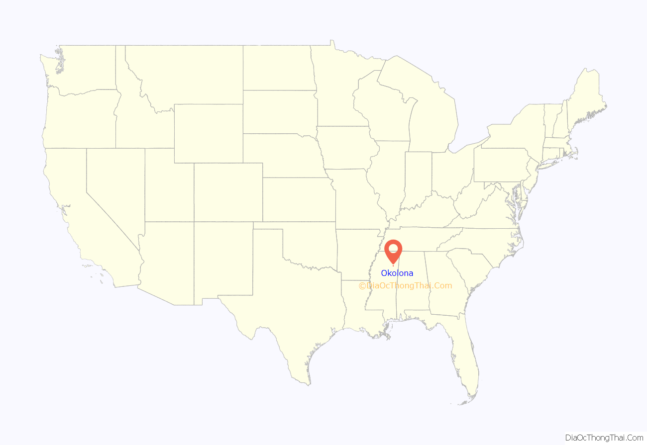
Okolona location map. Where is Okolona city?
History
Okolona was named as Rose Hill in 1845 early in its settlement, but residents later discovered that another location had this name. When a US post office was established here in 1850, a new name was needed to avoid confusion in mail delivery. According to the Okolona Area Chamber of Commerce, Colonel Josiah N. Walton, postmaster of nearby Aberdeen, Mississippi, remembered an encounter with a Chickasaw warrior years earlier. The man’s name was Oka-laua, meaning peaceful, yellow, or blue water. Walton renamed Rose Hill as Okolona in his honor.
Due to the destruction brought to the area by the Civil War, few structures from the antebellum period remain. The Elliott-Donaldson House, constructed in 1850, survives and was added to the National Register of Historic Places in 1980. A few other homes have also survived.
In the mid nineteenth century, Okolona and the surrounding Black Prairie, sometimes called the Black Belt or Prairie Belt, became what has been called the “Bread Basket of the Confederacy”. The area was part of the original Cotton Belt of Mississippi well before the more famous Delta region gained fame for major cotton production.
The Mobile and Ohio Railroad completed its tracks though Okolona in 1859, making the town a center for the ginning of cotton and its shipment to markets. The town grew along Main Street as a result of the railroad. Most commercial buildings from this period, including the depot, were burned during the Civil War.
Civil War era
Five skirmishes or battles between Union and Confederate forces occurred in and around Okolona. The eponymous Battle of Okolona occurred in February 1864. In a running cavalry clash between Confederate General Nathan Bedford Forrest and Union General William Sooy Smith, the Federals were defeated just north and west of town. General Forrest’s brother, Jeffery, was killed in the engagement.
Okolona College
Okolona College was an historically black college served African Americans 1902–1965. Today it is central to the Okolona College Historic District.
Okolona Road Map
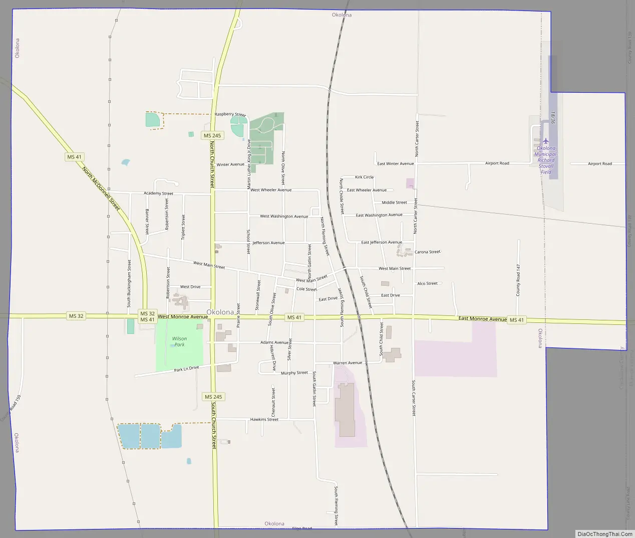
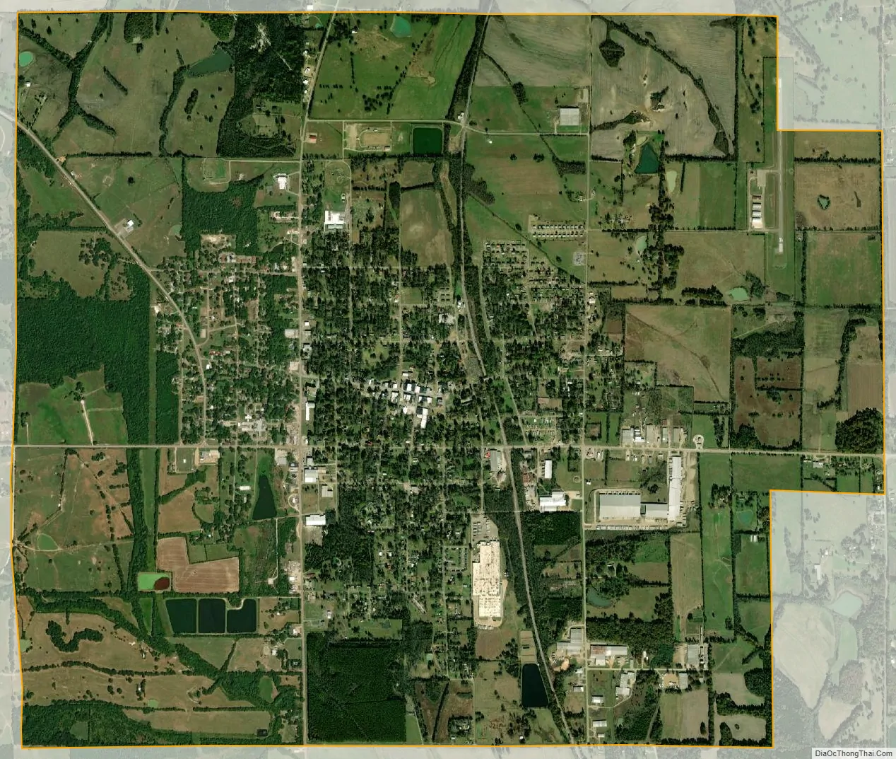
Okolona city Satellite Map
Geography
According to the United States Census Bureau, the city has a total area of 6.66 square miles (17.26 km), of which 6.64 square miles (17.21 km) is land and 0.02 square miles (0.04 km), or 0.23%, is water.
As highways were built, they passed through the city, connecting it with other towns. This is the location of the junction of former U.S. Route 45 Alternate (Church Street) and Mississippi Highway 32 (Monroe Avenue). US-45A now bypasses the town to the east as a four-lane divided highway.
See also
Map of Mississippi State and its subdivision:- Adams
- Alcorn
- Amite
- Attala
- Benton
- Bolivar
- Calhoun
- Carroll
- Chickasaw
- Choctaw
- Claiborne
- Clarke
- Clay
- Coahoma
- Copiah
- Covington
- Desoto
- Forrest
- Franklin
- George
- Greene
- Grenada
- Hancock
- Harrison
- Hinds
- Holmes
- Humphreys
- Issaquena
- Itawamba
- Jackson
- Jasper
- Jefferson
- Jefferson Davis
- Jones
- Kemper
- Lafayette
- Lamar
- Lauderdale
- Lawrence
- Leake
- Lee
- Leflore
- Lincoln
- Lowndes
- Madison
- Marion
- Marshall
- Monroe
- Montgomery
- Neshoba
- Newton
- Noxubee
- Oktibbeha
- Panola
- Pearl River
- Perry
- Pike
- Pontotoc
- Prentiss
- Quitman
- Rankin
- Scott
- Sharkey
- Simpson
- Smith
- Stone
- Sunflower
- Tallahatchie
- Tate
- Tippah
- Tishomingo
- Tunica
- Union
- Walthall
- Warren
- Washington
- Wayne
- Webster
- Wilkinson
- Winston
- Yalobusha
- Yazoo
- Alabama
- Alaska
- Arizona
- Arkansas
- California
- Colorado
- Connecticut
- Delaware
- District of Columbia
- Florida
- Georgia
- Hawaii
- Idaho
- Illinois
- Indiana
- Iowa
- Kansas
- Kentucky
- Louisiana
- Maine
- Maryland
- Massachusetts
- Michigan
- Minnesota
- Mississippi
- Missouri
- Montana
- Nebraska
- Nevada
- New Hampshire
- New Jersey
- New Mexico
- New York
- North Carolina
- North Dakota
- Ohio
- Oklahoma
- Oregon
- Pennsylvania
- Rhode Island
- South Carolina
- South Dakota
- Tennessee
- Texas
- Utah
- Vermont
- Virginia
- Washington
- West Virginia
- Wisconsin
- Wyoming