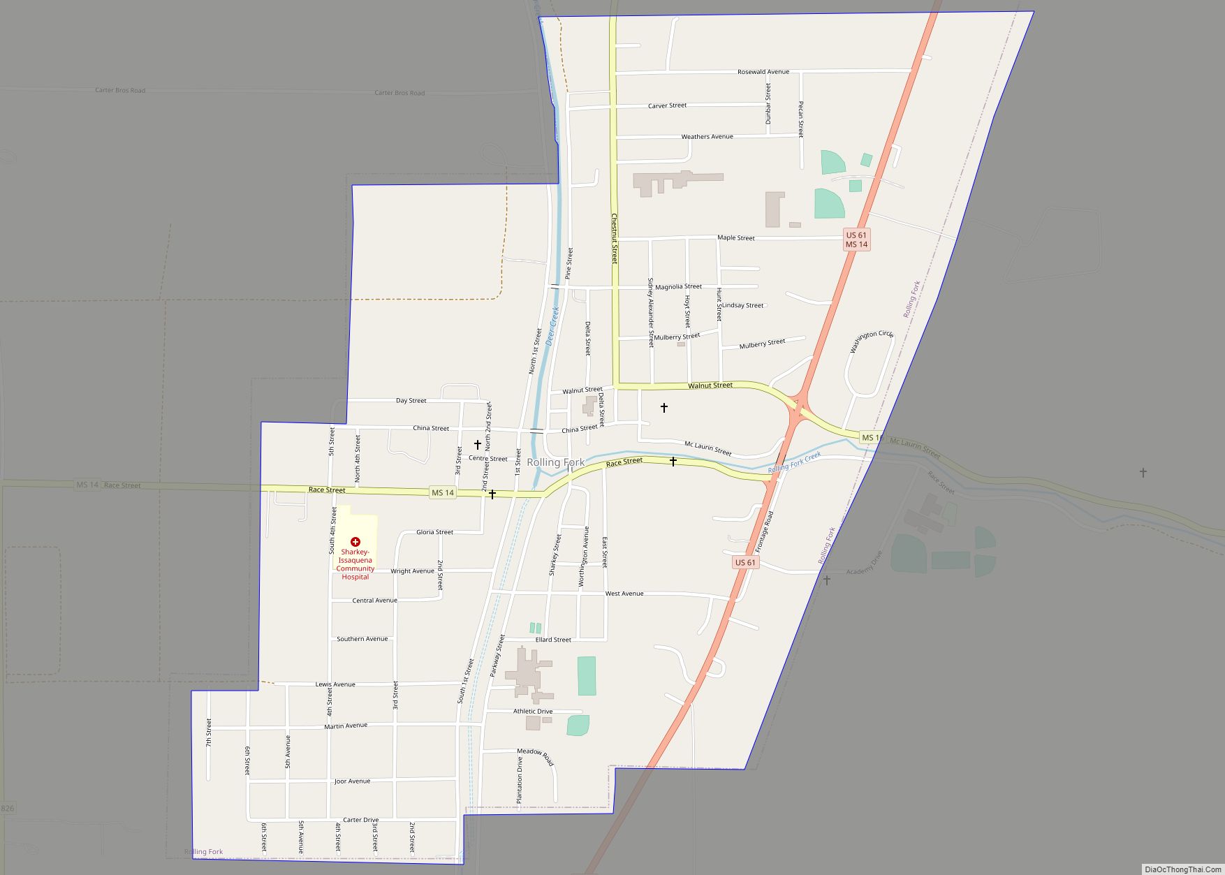
Rolling Fork is a city and county seat of Sharkey County, Mississippi, United States. As of the 2020 census, the population of the town was 1,883. Rolling Fork city overview: Name: Rolling Fork city LSAD Code: 25 LSAD Description: city (suffix) State: Mississippi County: Sharkey County Elevation: 105 ft (32 m) Total Area: 1.41 sq mi (3.66 km²) Land Area: ... Read more
Mississippi Cities and Places
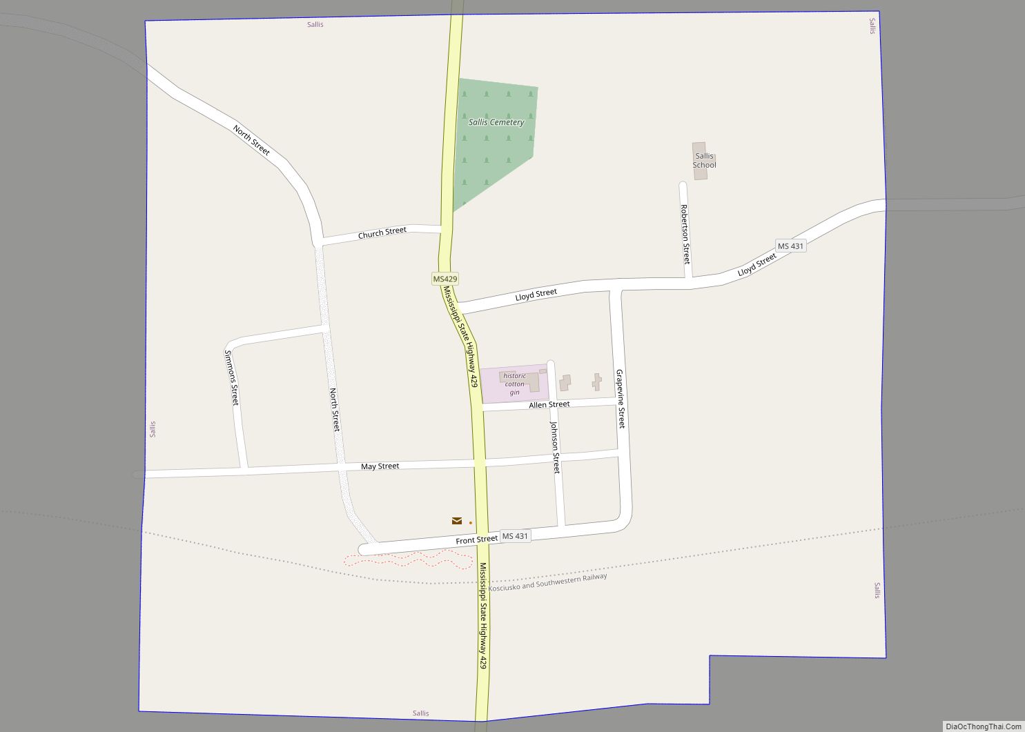
Sallis is a town in Attala County, Mississippi, United States. The population was 134 at the 2010 census. Sallis town overview: Name: Sallis town LSAD Code: 43 LSAD Description: town (suffix) State: Mississippi County: Attala County Elevation: 325 ft (99 m) Total Area: 0.41 sq mi (1.06 km²) Land Area: 0.41 sq mi (1.06 km²) Water Area: 0.00 sq mi (0.00 km²) Total Population: 131 Population ... Read more
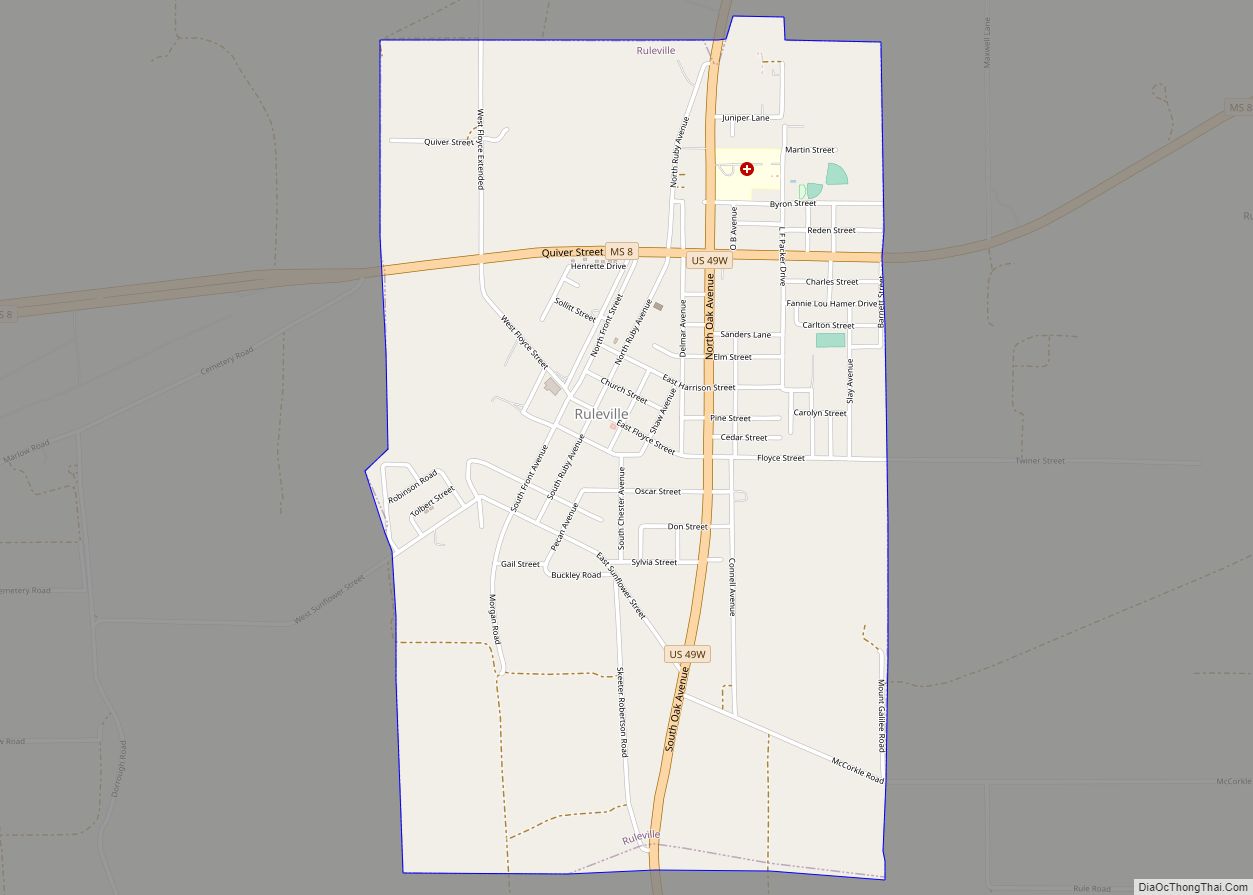
Ruleville is a city in Sunflower County, Mississippi, United States, in the Mississippi Delta region. The population was 3,007 at the 2010 census. It is the second-largest community in the rural county. Ruleville city overview: Name: Ruleville city LSAD Code: 25 LSAD Description: city (suffix) State: Mississippi County: Sunflower County Elevation: 135 ft (41 m) Total Area: ... Read more
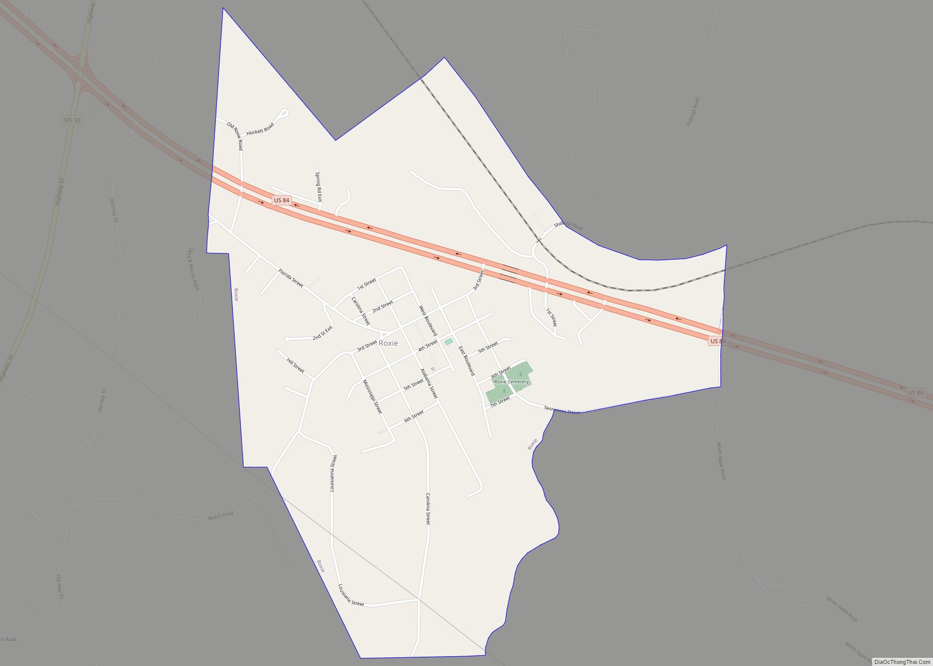
Roxie is a town in Franklin County, Mississippi, United States. The population was 497 at the 2010 census, down from 569 at the 2000 census. This rural town developed with the construction of railroads in the area. Roxie town overview: Name: Roxie town LSAD Code: 43 LSAD Description: town (suffix) State: Mississippi County: Franklin County ... Read more
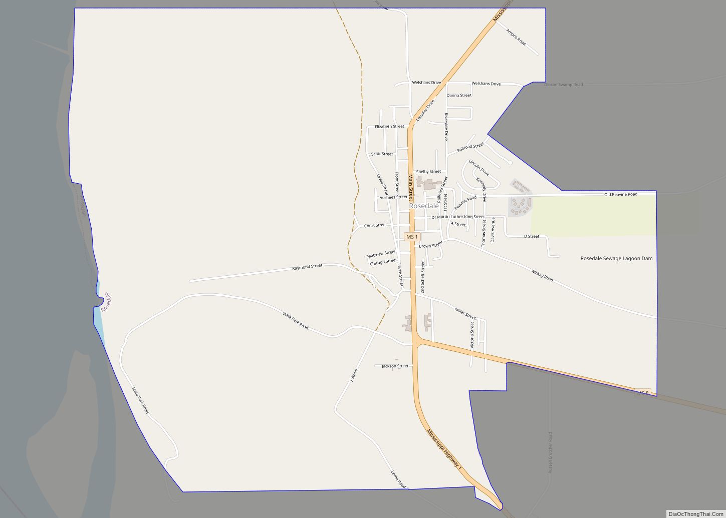
Rosedale is a city in Bolivar County, Mississippi, United States. The population was 1,873 at the 2010 census, down from 2,414 in 2000. Located in an agricultural area, the city had a stop on the Yazoo and Mississippi Valley Railroad, which carried many migrants north out of the area in the first half of the ... Read more
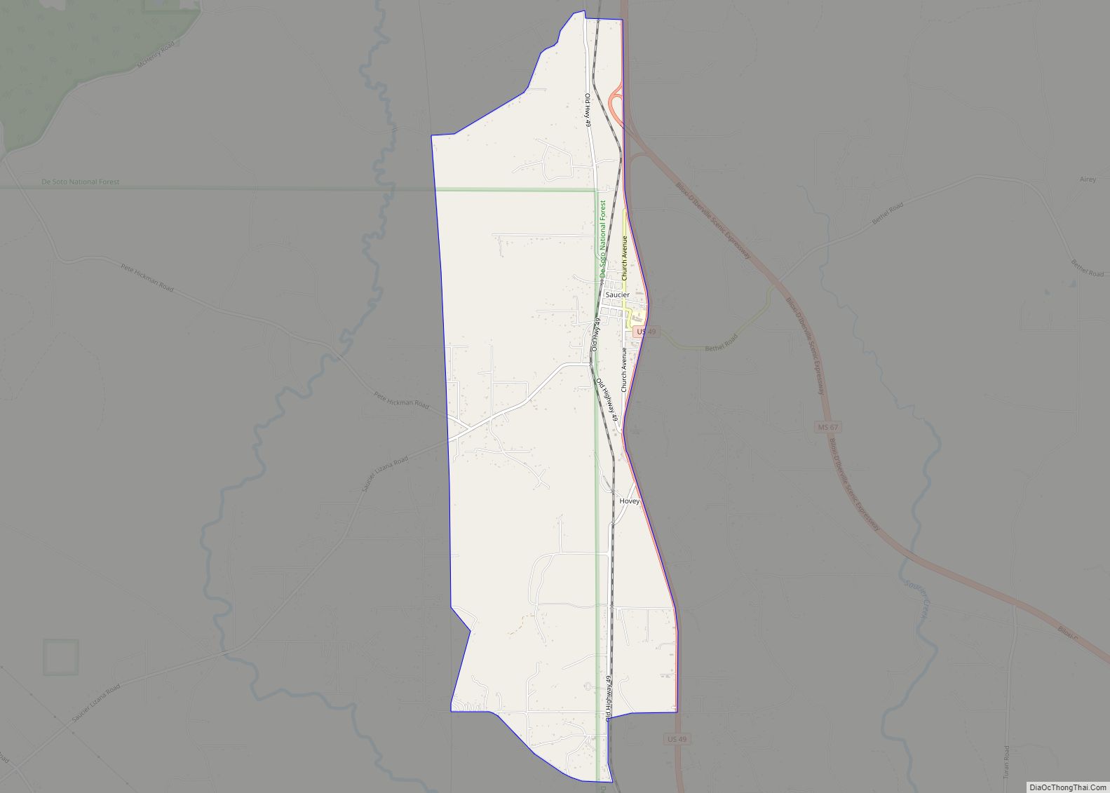
Saucier is a census-designated place (CDP) in Harrison County, Mississippi, United States. It is part of the Gulfport–Biloxi Metropolitan Statistical Area. The population was 1,342 at the 2010 census. Saucier CDP overview: Name: Saucier CDP LSAD Code: 57 LSAD Description: CDP (suffix) State: Mississippi County: Harrison County Elevation: 161 ft (49 m) Total Area: 7.05 sq mi (18.26 km²) Land ... Read more
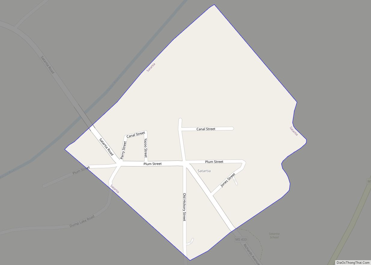
Satartia is a village in Yazoo County, Mississippi. Per the 2020 Census, the population was 41, Mississippi’s smallest incorporated municipality by population. Located on the east bank of the Yazoo River, Satartia was once a thriving river port, and is one of the oldest non-Native settlements in Yazoo County. Satartia village overview: Name: Satartia village ... Read more
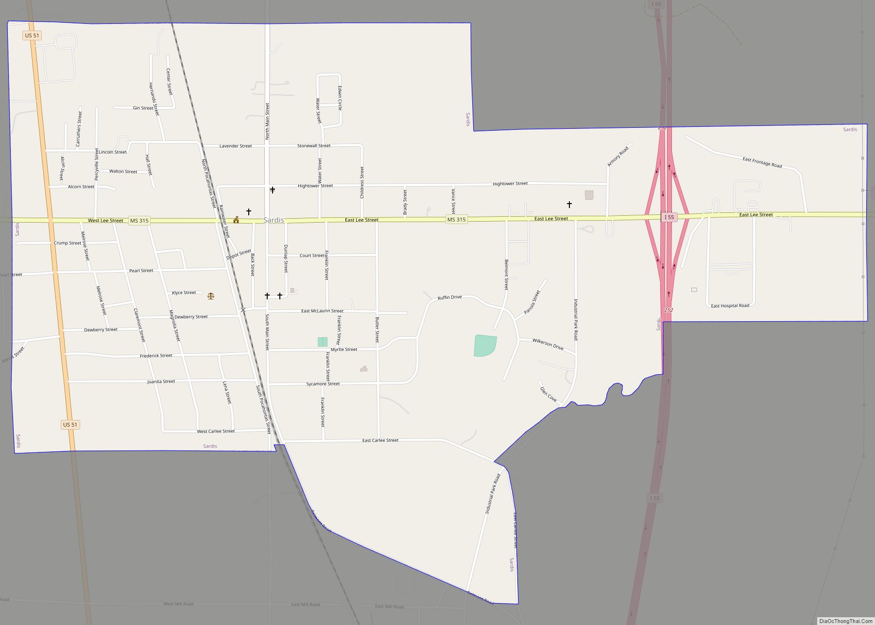
Sardis is a town in Panola County, Mississippi. As of the 2010 census, the town population was 1,703. Sardis is one of two county seats for Panola County; the other is Batesville, on the south side of the Tallahatchie River. Sardis town overview: Name: Sardis town LSAD Code: 43 LSAD Description: town (suffix) State: Mississippi ... Read more
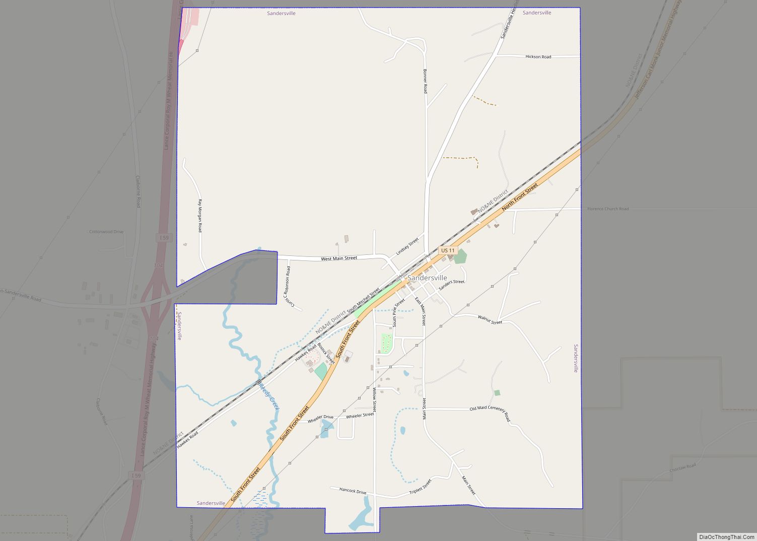
Sandersville is a town in Jones County, Mississippi, United States. The population was 636 at the 2020 census, down from 731 at the 2010 census. It is part of the Laurel micropolitan area. Sandersville town overview: Name: Sandersville town LSAD Code: 43 LSAD Description: town (suffix) State: Mississippi County: Jones County Elevation: 276 ft (84 m) Total ... Read more
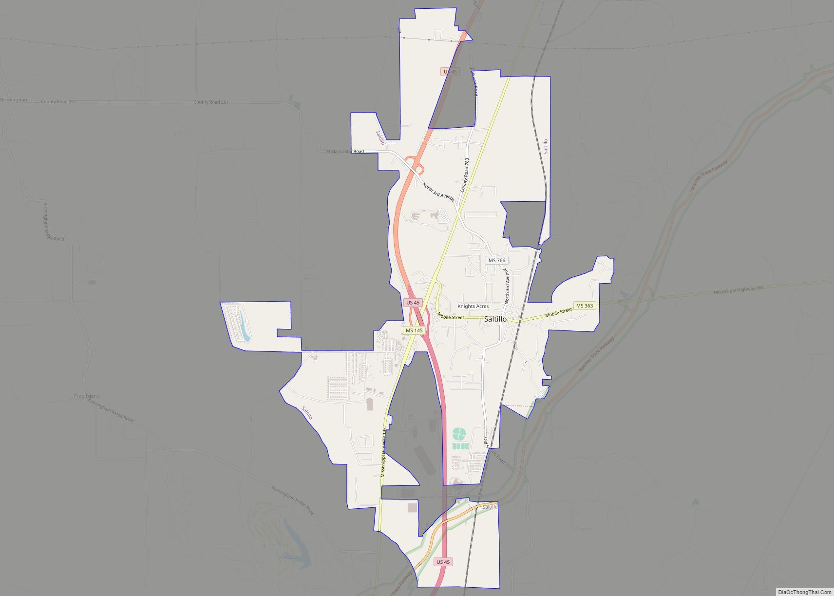
Saltillo is a city in Lee County, Mississippi, located in the northern part of the Tupelo micropolitan area. The population was 4,922 at the 2020 Census. Saltillo city overview: Name: Saltillo city LSAD Code: 25 LSAD Description: city (suffix) State: Mississippi County: Lee County Incorporated: July 20, 1870; 152 years ago (1870-07-20) Elevation: 322 ft (98 m) Total Area: ... Read more
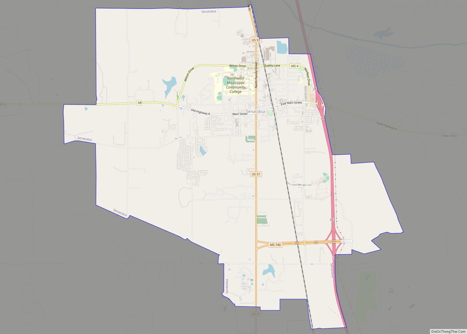
Senatobia is a city in, and the county seat of, Tate County, Mississippi, United States, and is the 16th largest municipality in the Memphis Metropolitan Area. The population was 8,165 at the 2010 census. Senatobia is home to Northwest Mississippi Community College, a state community college providing two-year academic and technical degree programs. Northwest’s system-wide ... Read more
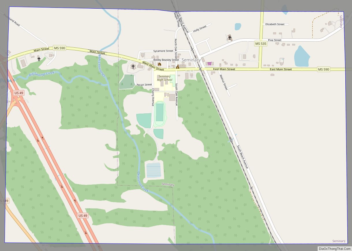
Seminary is a town in Covington County, Mississippi, United States. The population was 314 at the 2010 census. Okatoma Creek, part of the Pascagoula River watershed, runs through Seminary, and is popular for canoeing and kayaking. Seminary town overview: Name: Seminary town LSAD Code: 43 LSAD Description: town (suffix) State: Mississippi County: Covington County Elevation: ... Read more
