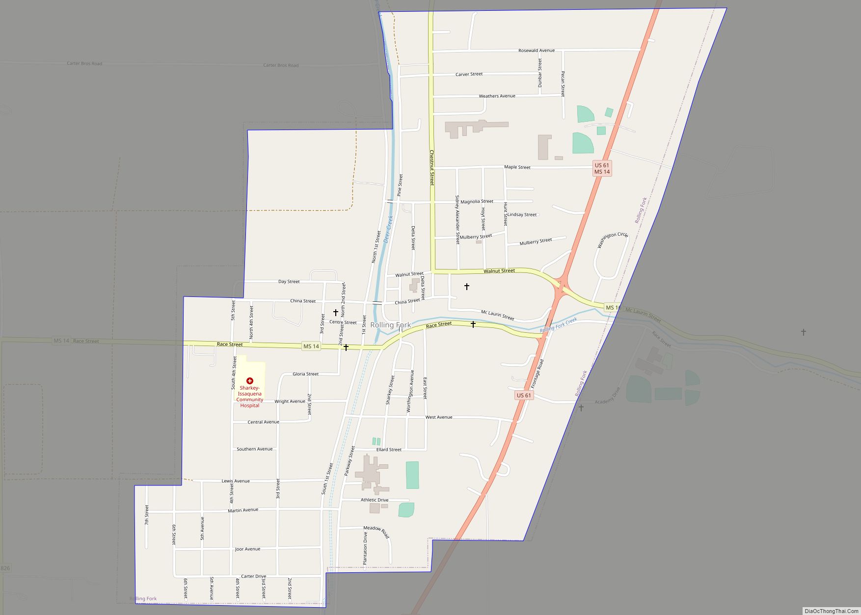
Rolling Fork is a city and county seat of Sharkey County, Mississippi, United States. As of the 2020 census, the population of the town was 1,883.
| Name: | Rolling Fork city |
|---|---|
| LSAD Code: | 25 |
| LSAD Description: | city (suffix) |
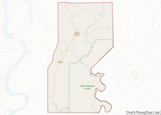
| State: | Mississippi |
| County: | Sharkey County |
| Elevation: | 105 ft (32 m) |
| Total Area: | 1.41 sq mi (3.66 km²) |
| Land Area: | 1.41 sq mi (3.66 km²) |
| Water Area: | 0.00 sq mi (0.00 km²) |
| Total Population: | 1,883 |
| Population Density: | 1,333.57/sq mi (515.07/km²) |
| ZIP code: | 39159 |
| Area code: | 662 |
| FIPS code: | 2863560 |
Online Interactive Map
Click on ![]() to view map in "full screen" mode.
to view map in "full screen" mode.
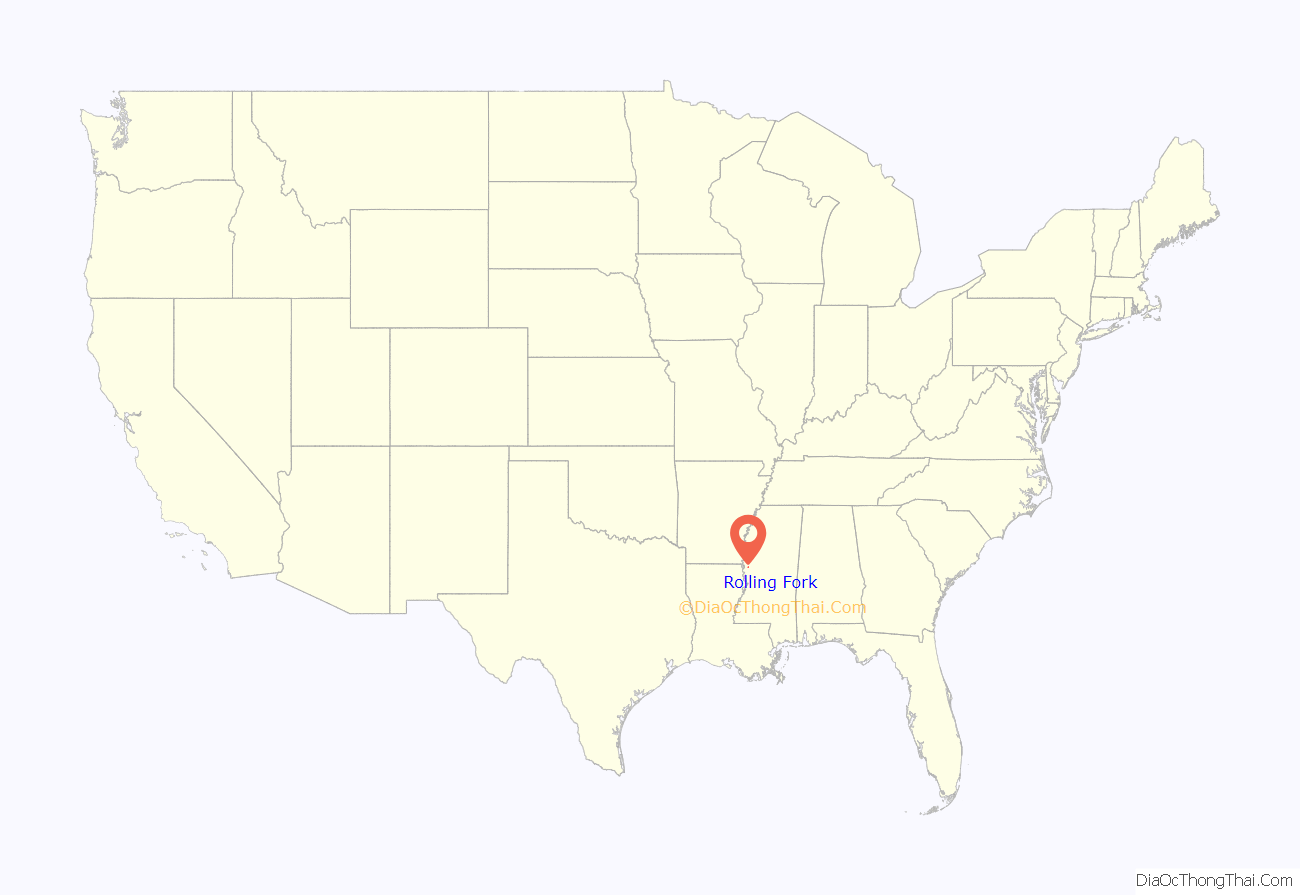
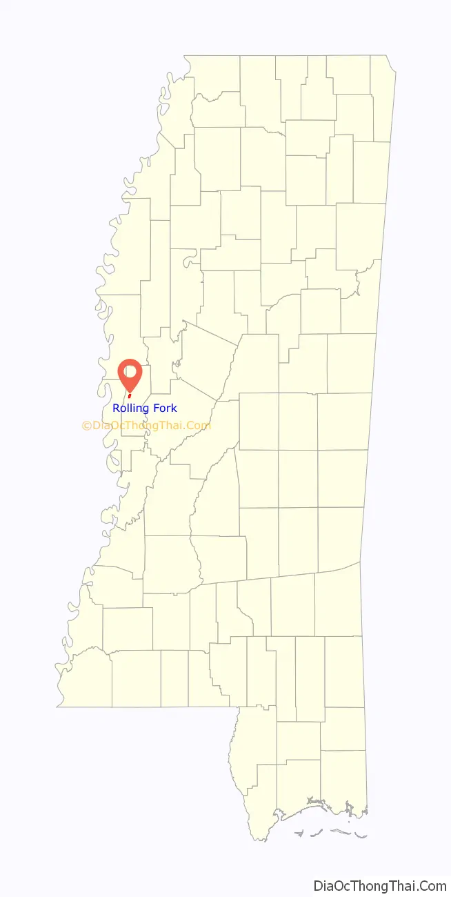
Rolling Fork location map. Where is Rolling Fork city?
History
Thomas Y. Chaney located here in 1828, and was the first European-American settler in the area. The Choctaw, longtime indigenous occupants, had been forced out by new settler pressure and government treaties to gain their land.
Deer Creek flows through the settlement. Chaney called the place “Rolling Fork” because of the swiftness of the water at a fork in the creek there. A post office was established in 1848.
When Sharkey County was established in 1876, during the Reconstruction era, Rolling Fork was made the county seat. A newspaper, The Deer Creek Pilot, was established in 1884.
The Louisville, New Orleans and Texas Railway was built through Rolling Fork in 1883. It was later acquired by the Illinois Central Railroad. In 1908, the Bank of Rolling Fork was established.
2023 tornado
On March 24, 2023, just after 8:00 p.m. CDT, Rolling Fork was struck by a large EF4 wedge tornado. A tornado emergency was issued for the town by the National Weather Service as the storm dealt catastrophic damage, with most of the buildings in the small business district damaged or destroyed. The Rolling Fork water tower was blown over, two grain trucks were thrown into each other, power lines were knocked down, and trees were uprooted, some even debarked. Seventeen people were killed in Rolling Fork and nearby Midnight and Silver City from the same tornado, with 165 more injured.
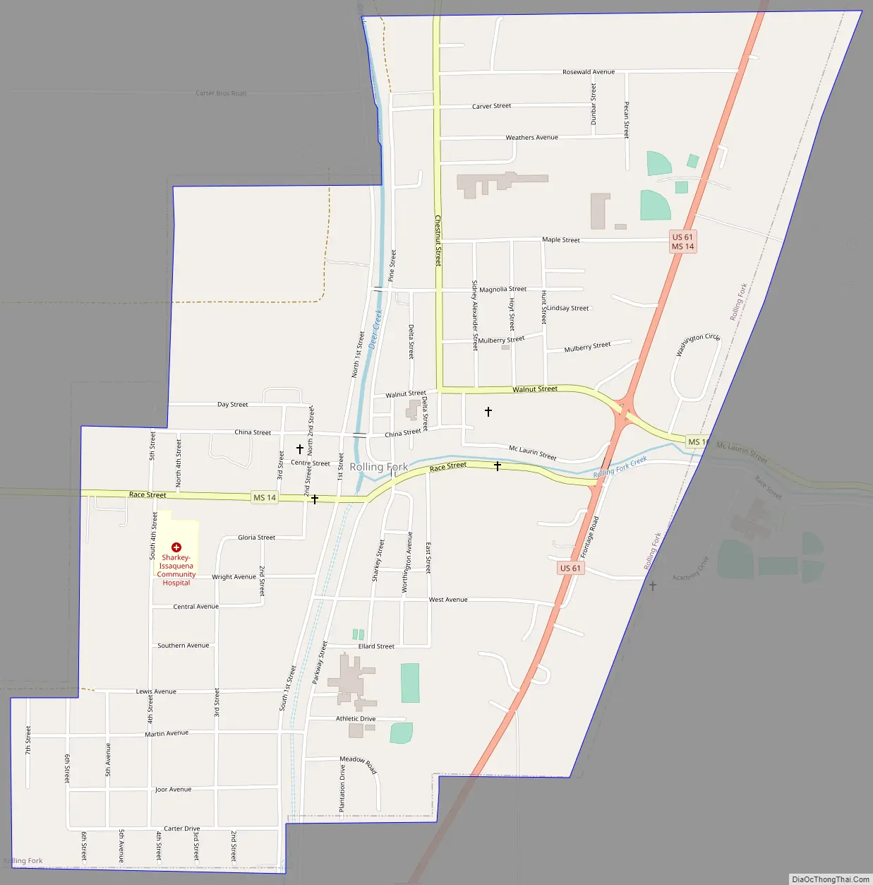
Rolling Fork Road Map
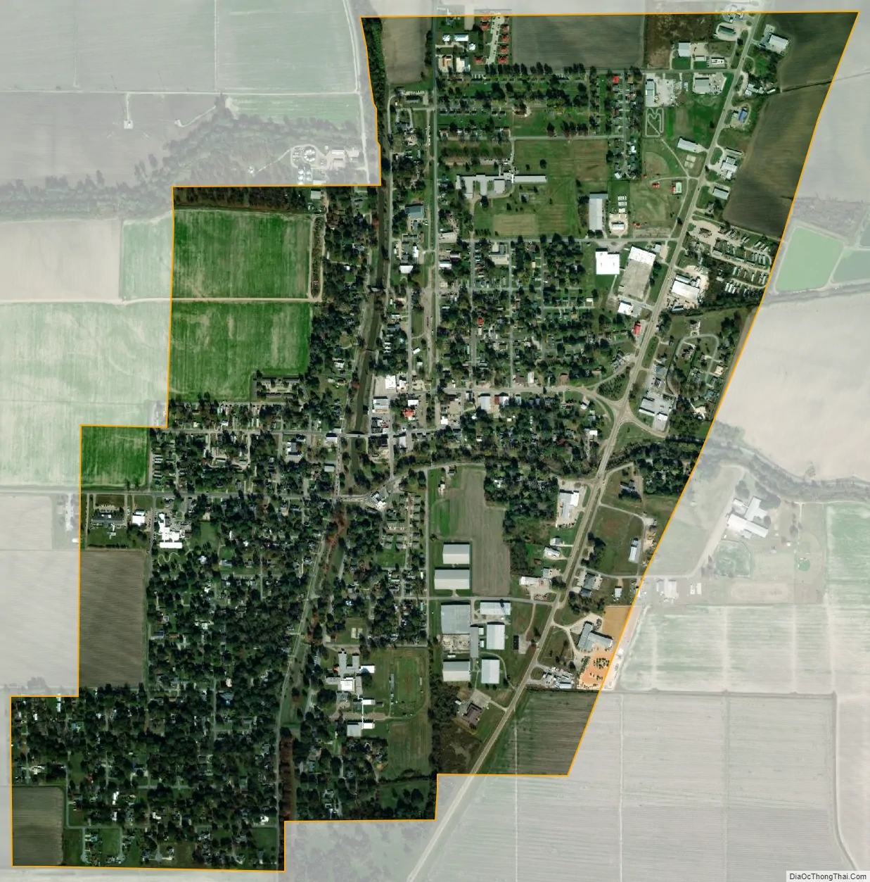
Rolling Fork city Satellite Map
Geography
According to the United States Census Bureau, the city has a total area of 1.4 square miles (3.6 km), all land.
See also
Map of Mississippi State and its subdivision:- Adams
- Alcorn
- Amite
- Attala
- Benton
- Bolivar
- Calhoun
- Carroll
- Chickasaw
- Choctaw
- Claiborne
- Clarke
- Clay
- Coahoma
- Copiah
- Covington
- Desoto
- Forrest
- Franklin
- George
- Greene
- Grenada
- Hancock
- Harrison
- Hinds
- Holmes
- Humphreys
- Issaquena
- Itawamba
- Jackson
- Jasper
- Jefferson
- Jefferson Davis
- Jones
- Kemper
- Lafayette
- Lamar
- Lauderdale
- Lawrence
- Leake
- Lee
- Leflore
- Lincoln
- Lowndes
- Madison
- Marion
- Marshall
- Monroe
- Montgomery
- Neshoba
- Newton
- Noxubee
- Oktibbeha
- Panola
- Pearl River
- Perry
- Pike
- Pontotoc
- Prentiss
- Quitman
- Rankin
- Scott
- Sharkey
- Simpson
- Smith
- Stone
- Sunflower
- Tallahatchie
- Tate
- Tippah
- Tishomingo
- Tunica
- Union
- Walthall
- Warren
- Washington
- Wayne
- Webster
- Wilkinson
- Winston
- Yalobusha
- Yazoo
- Alabama
- Alaska
- Arizona
- Arkansas
- California
- Colorado
- Connecticut
- Delaware
- District of Columbia
- Florida
- Georgia
- Hawaii
- Idaho
- Illinois
- Indiana
- Iowa
- Kansas
- Kentucky
- Louisiana
- Maine
- Maryland
- Massachusetts
- Michigan
- Minnesota
- Mississippi
- Missouri
- Montana
- Nebraska
- Nevada
- New Hampshire
- New Jersey
- New Mexico
- New York
- North Carolina
- North Dakota
- Ohio
- Oklahoma
- Oregon
- Pennsylvania
- Rhode Island
- South Carolina
- South Dakota
- Tennessee
- Texas
- Utah
- Vermont
- Virginia
- Washington
- West Virginia
- Wisconsin
- Wyoming