Rosedale is a city in Bolivar County, Mississippi, United States. The population was 1,873 at the 2010 census, down from 2,414 in 2000. Located in an agricultural area, the city had a stop on the Yazoo and Mississippi Valley Railroad, which carried many migrants north out of the area in the first half of the 20th century.
| Name: | Rosedale city |
|---|---|
| LSAD Code: | 25 |
| LSAD Description: | city (suffix) |
| State: | Mississippi |
| County: | Bolivar County |
| Elevation: | 151 ft (46 m) |
| Total Area: | 5.48 sq mi (14.19 km²) |
| Land Area: | 5.42 sq mi (14.02 km²) |
| Water Area: | 0.06 sq mi (0.16 km²) |
| Total Population: | 1,584 |
| Population Density: | 292.52/sq mi (112.95/km²) |
| ZIP code: | 38769 |
| Area code: | 662 |
| FIPS code: | 2863720 |
| GNISfeature ID: | 0676870 |
| Website: | www.cityofrosedale-ms.com |
Online Interactive Map
Click on ![]() to view map in "full screen" mode.
to view map in "full screen" mode.
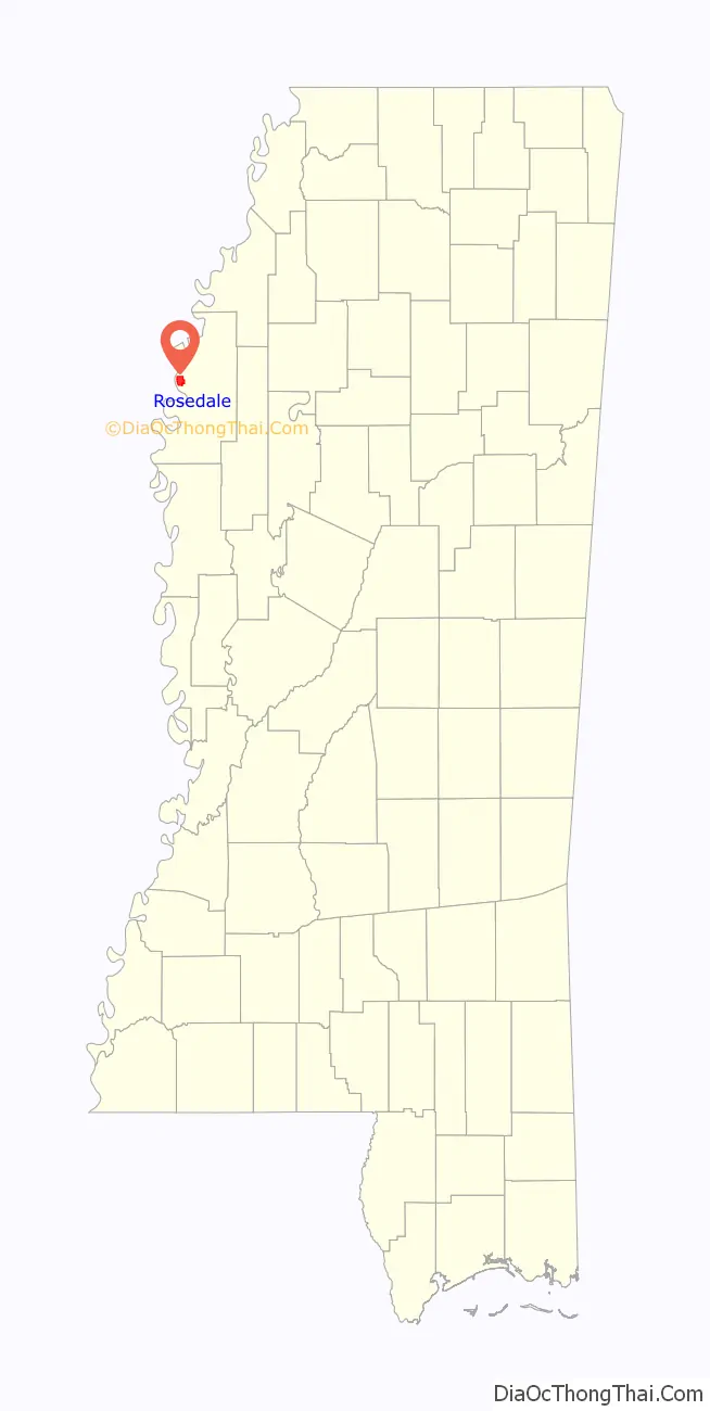
Rosedale location map. Where is Rosedale city?

History
Rosedale was settled around 1838 and became one of the two county seats in 1872. This area was developed by European American planters for extensive cotton plantations, dependent on enslaved laborers. After the Civil War and emancipation, some freedmen managed to clear and buy land in the bottomlands, with many becoming landowners before the end of the nineteenth century. By 1910, a lengthy recession and declining economic and political conditions resulted in most blacks in the state losing their land. They could not compete with the financing gained by railroads, which were constructed in the area beginning in 1882 Many stayed in the area to work as sharecroppers and laborers. The railroad brought new business to Rosedale, which had a depot and shipped cotton to northern and other markets. Rosedale incorporated as a town February 2, 1882 and became a city in 1930.
Beginning in the early twentieth century, tens of thousands of blacks left the state of Mississippi as part of the Great Migration, north by railroad to Chicago and other Midwestern industrial cities. During and after World War II, others went to California to work in the defense industry. Others remained where their families had lived for generations, with strong local ties.
In 2007, the Mississippi Blues Commission placed a historic marker at Rosedale’s former Yazoo and Mississippi Valley Railroad depot site, designating it as a site on the Mississippi Blues Trail. The marker commemorates the sites in the original lyrics of legendary blues artist Robert Johnson’s song “Travelling Riverside Blues”. He traced the railway route which ran south from Friars Point to Rosedale among other stops, including Vicksburg and north to Memphis. The marker emphasizes that a common theme of blues songs was riding on the railroad, which was seen as a metaphor for travel and escape from poverty and Jim Crow in the Delta. It also commemorates another common blues theme, life on the banks of a moody river bank, a theme heard in Charlie Patton’s “High Water Everywhere”.
Locals claim that Johnson sold his soul to the Devil at the intersection of Mississippi state highways 1 and 8, on the south end of town, and that he tells this story metaphorically in “Cross Road Blues.” Other artists have referred to his songs. Johnson’s deal with the Devil is mentioned as occurring in Rosedale in 1930 in an episode of the TV series Supernatural. However, a number of other Delta municipalities claim that the transaction took place in or near their boundaries.
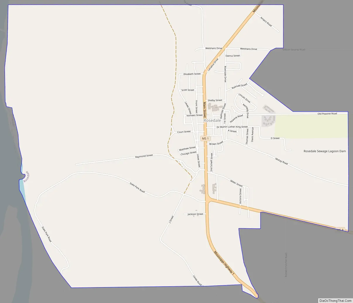
Rosedale Road Map
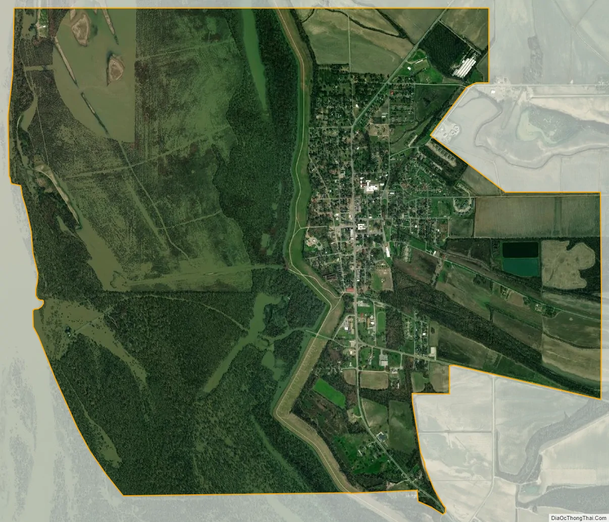
Rosedale city Satellite Map
Geography
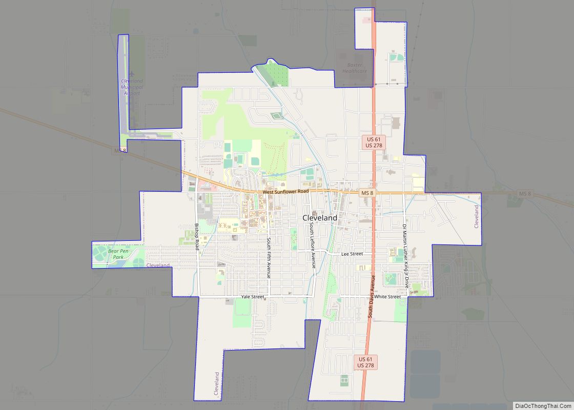
Rosedale is located 19 miles (31 km) northwest of Cleveland.
According to the United States Census Bureau, Rosedale has a total area of 5.5 square miles (14.2 km), of which 5.4 square miles (14.0 km) is land and 0.08 square miles (0.2 km), or 1.14%, is water.
Rosedale is situated on the eastern side of the Mississippi River, approximately midway between the mouths of the Arkansas and White rivers, which flow into the Mississippi from the Arkansas (western) side.
See also
Map of Mississippi State and its subdivision:- Adams
- Alcorn
- Amite
- Attala
- Benton
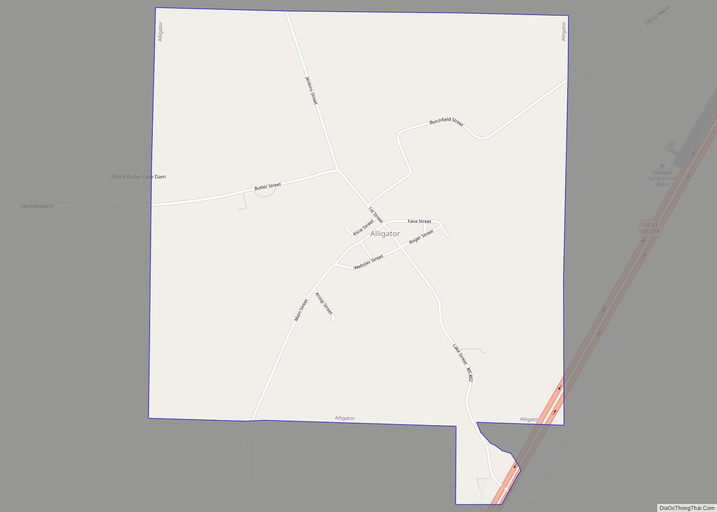
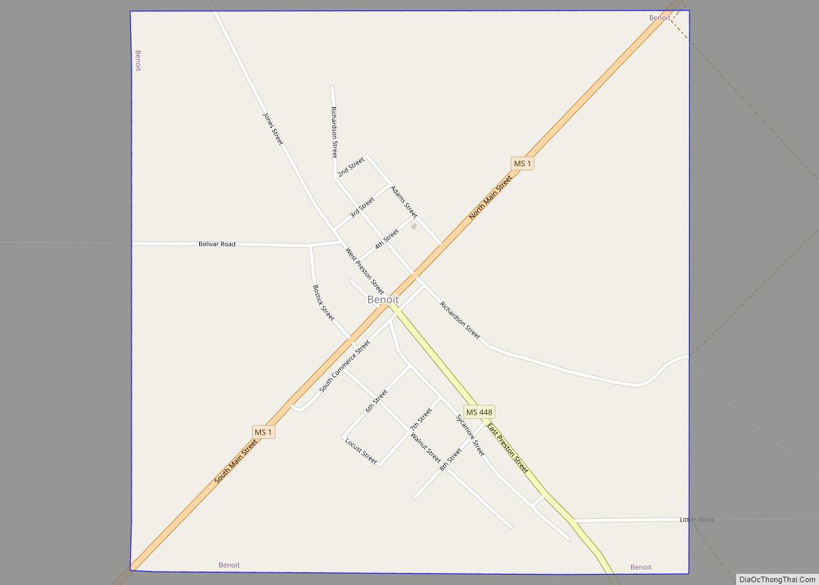
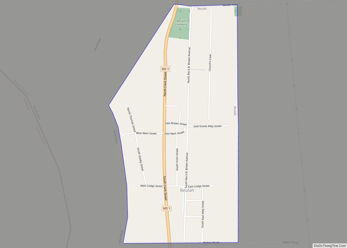
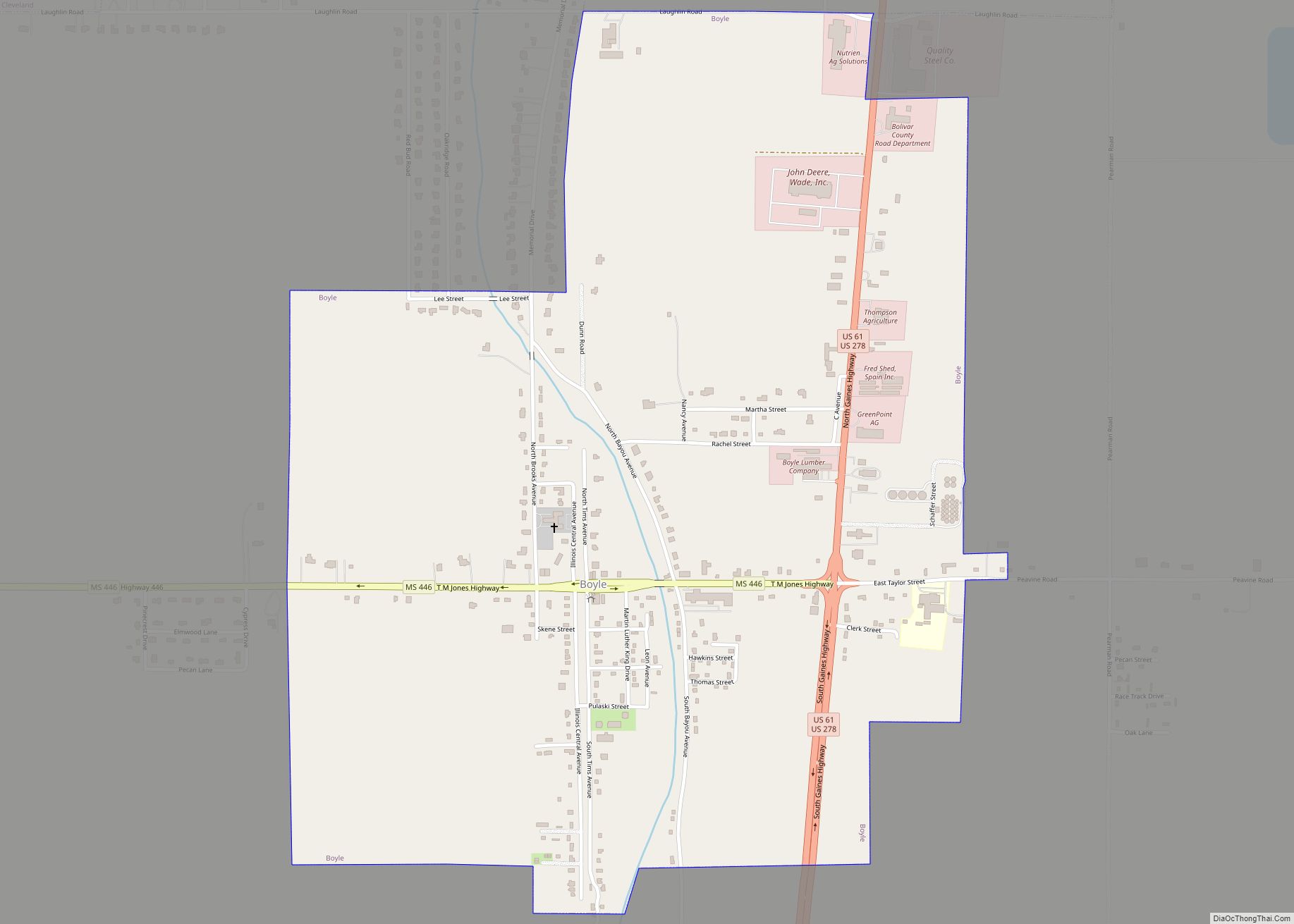
- Bolivar
- Calhoun
- Carroll
- Chickasaw
- Choctaw
- Claiborne
- Clarke
- Clay
- Coahoma
- Copiah
- Covington
- Desoto
- Forrest
- Franklin
- George
- Greene
- Grenada
- Hancock
- Harrison
- Hinds
- Holmes
- Humphreys
- Issaquena
- Itawamba
- Jackson
- Jasper
- Jefferson
- Jefferson Davis
- Jones
- Kemper
- Lafayette
- Lamar
- Lauderdale
- Lawrence
- Leake
- Lee
- Leflore
- Lincoln
- Lowndes
- Madison
- Marion
- Marshall
- Monroe
- Montgomery
- Neshoba
- Newton
- Noxubee
- Oktibbeha
- Panola
- Pearl River
- Perry
- Pike
- Pontotoc
- Prentiss
- Quitman
- Rankin
- Scott
- Sharkey
- Simpson
- Smith
- Stone
- Sunflower
- Tallahatchie
- Tate
- Tippah
- Tishomingo
- Tunica
- Union
- Walthall
- Warren
- Washington
- Wayne
- Webster
- Wilkinson
- Winston
- Yalobusha
- Yazoo
- Alabama
- Alaska
- Arizona
- Arkansas
- California
- Colorado
- Connecticut
- Delaware
- District of Columbia
- Florida
- Georgia
- Hawaii
- Idaho
- Illinois
- Indiana
- Iowa
- Kansas
- Kentucky
- Louisiana
- Maine
- Maryland
- Massachusetts
- Michigan
- Minnesota
- Mississippi
- Missouri
- Montana
- Nebraska
- Nevada
- New Hampshire
- New Jersey
- New Mexico
- New York
- North Carolina
- North Dakota
- Ohio
- Oklahoma
- Oregon
- Pennsylvania
- Rhode Island
- South Carolina
- South Dakota
- Tennessee
- Texas
- Utah
- Vermont
- Virginia
- Washington
- West Virginia
- Wisconsin
- Wyoming