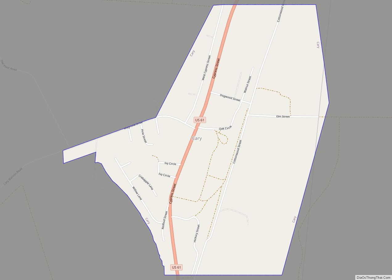
Cary is a town in Sharkey County, Mississippi. The population was 241 at the 2020 United States census. Cary town overview: Name: Cary town LSAD Code: 43 LSAD Description: town (suffix) State: Mississippi County: Sharkey County Elevation: 102 ft (31 m) Total Area: 0.71 sq mi (1.83 km²) Land Area: 0.71 sq mi (1.83 km²) Water Area: 0.00 sq mi (0.00 km²) Total Population: 241 Population ... Read more
Mississippi Cities and Places
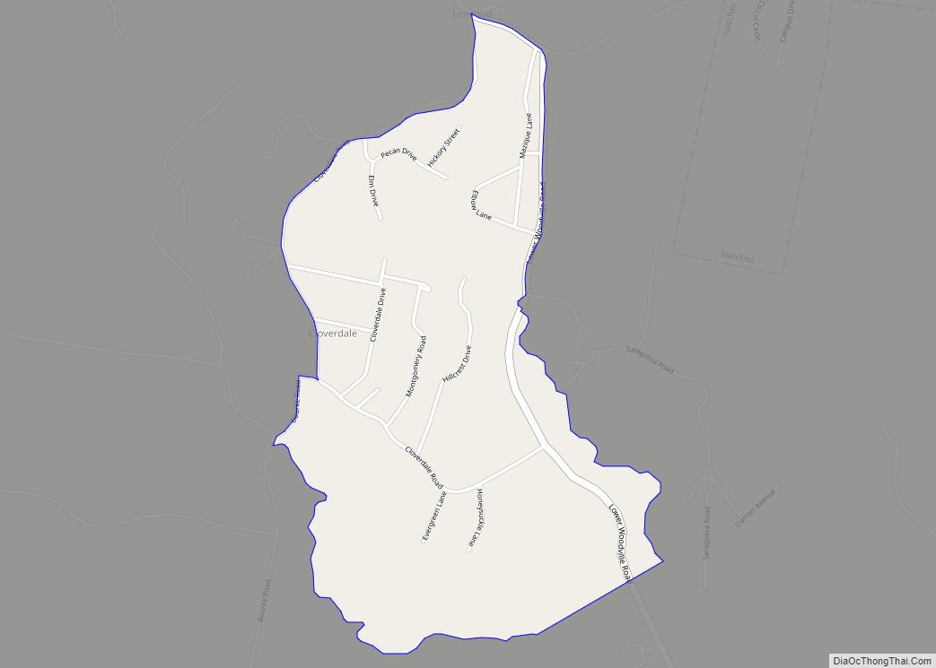
Cloverdale is a census-designated place (CDP) in Adams County, Mississippi, United States, located to the south of the city of Natchez. As of the 2020 census, it had a population of 557. The community is located 5 miles (8 km) south of downtown Natchez on Cloverdale Road, on high ground overlooking the Mississippi River floodplain. According ... Read more
Clinton is a city in Hinds County, Mississippi, United States. Situated in the Jackson metropolitan area, it is the tenth largest city in Mississippi. The population was 28,100 at the 2020 United States census. Clinton city overview: Name: Clinton city LSAD Code: 25 LSAD Description: city (suffix) State: Mississippi County: Hinds County Founded: 1823 Elevation: ... Read more
Cleveland is a city in Bolivar County, Mississippi, United States. The population was 11,199 as of the 2020 United States Census. Cleveland has a large commercial economy, with numerous restaurants, stores, and services along U.S. 61. Cleveland is one of the two county seats of Bolivar County (the other being Rosedale) Cleveland is also home ... Read more
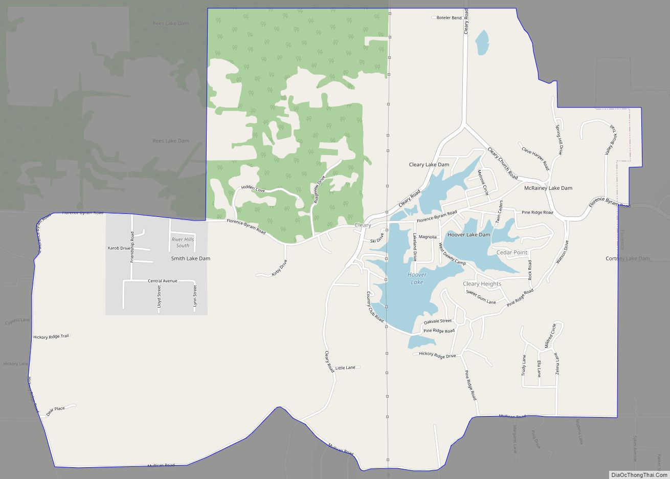
Cleary is an unincorporated community and census-designated place in Rankin County, Mississippi, United States. Per the 2020 census, the population was 1,688. Cleary CDP overview: Name: Cleary CDP LSAD Code: 57 LSAD Description: CDP (suffix) State: Mississippi County: Rankin County Elevation: 384 ft (117 m) Total Area: 5.11 sq mi (13.24 km²) Land Area: 4.91 sq mi (12.73 km²) Water Area: 0.20 sq mi (0.52 km²) ... Read more
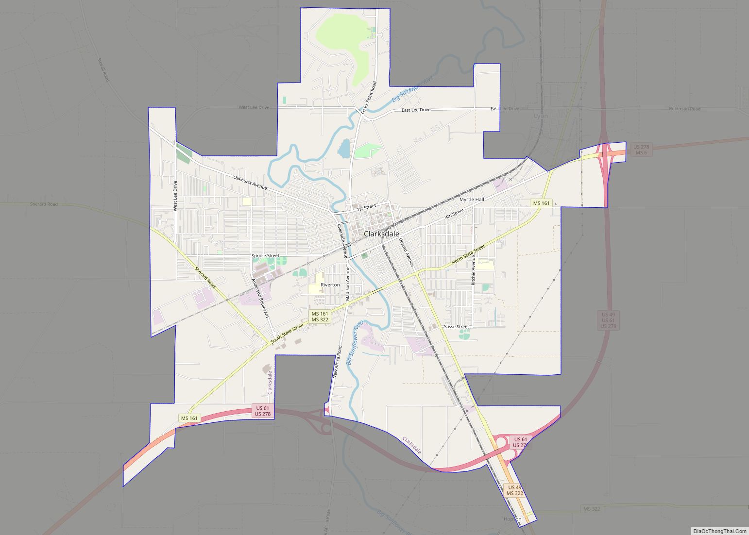
Clarksdale is a city in and the county seat of Coahoma County, Mississippi, United States. It is located along the Sunflower River. Clarksdale is named after John Clark, a settler who founded the city in the mid-19th century when he established a timber mill and business. The western boundary of the county is formed by ... Read more
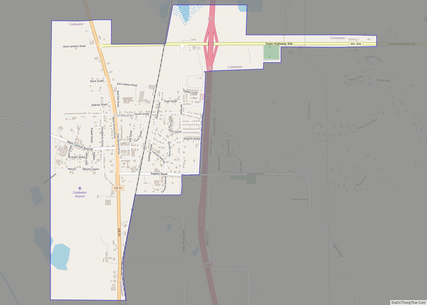
Coldwater is a town in Tate County, Mississippi, United States, and is part of the Memphis Metropolitan Area. The population was 1,677 at the 2010 census. Coldwater town overview: Name: Coldwater town LSAD Code: 43 LSAD Description: town (suffix) State: Mississippi County: Tate County Elevation: 249 ft (76 m) Total Area: 2.38 sq mi (6.16 km²) Land Area: 2.38 sq mi (6.15 km²) ... Read more
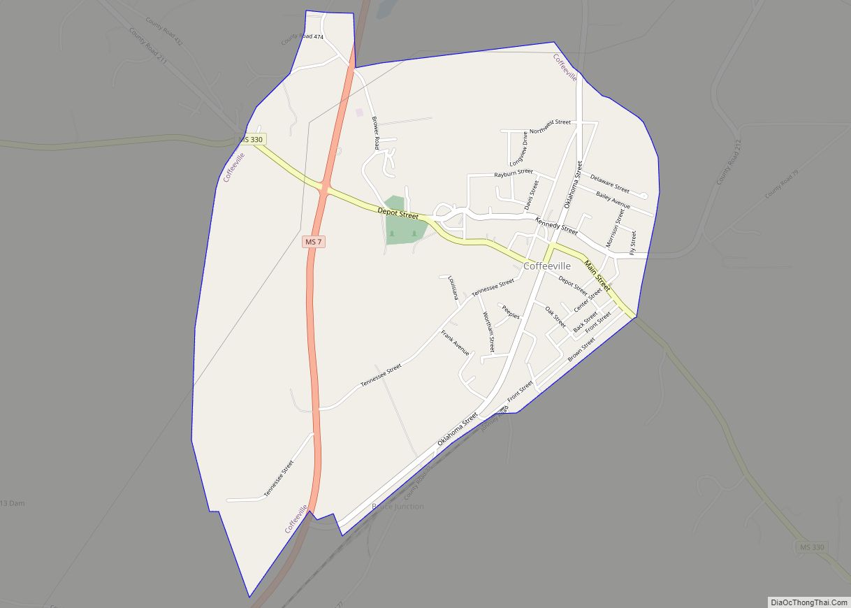
Coffeeville is a town in and one of two county seats of Yalobusha County, Mississippi, United States. The population was 905 at the 2010 census. It is named after John Coffee (1772–1833), a planter and military leader. The minor American Civil War Battle of Coffeeville took place near here in December 1862. Water Valley, Mississippi, ... Read more
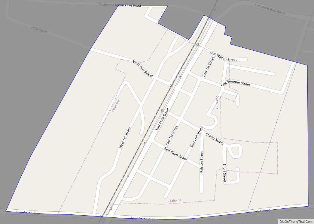
Coahoma is a town in Coahoma County, Mississippi, United States. Per the 2020 census, the population was 229. Coahoma town overview: Name: Coahoma town LSAD Code: 43 LSAD Description: town (suffix) State: Mississippi County: Coahoma County Elevation: 174 ft (53 m) Total Area: 0.20 sq mi (0.51 km²) Land Area: 0.20 sq mi (0.51 km²) Water Area: 0.00 sq mi (0.00 km²) Total Population: 229 Population ... Read more
Collinsville is an unincorporated community and census-designated place (CDP) in Lauderdale County, Mississippi, United States. The population was 1,984 at the 2020 census. Collinsville CDP overview: Name: Collinsville CDP LSAD Code: 57 LSAD Description: CDP (suffix) State: Mississippi County: Lauderdale County Elevation: 463 ft (141 m) Total Area: 14.28 sq mi (36.97 km²) Land Area: 14.25 sq mi (36.90 km²) Water Area: 0.03 sq mi ... Read more
Collins is a city in Covington County, Mississippi, United States. The population was 2,586 at the 2010 census. It is the county seat of Covington County. Collins city overview: Name: Collins city LSAD Code: 25 LSAD Description: city (suffix) State: Mississippi County: Covington County Incorporated: November 24, 1906 Elevation: 292 ft (89 m) Total Area: 7.99 sq mi (20.69 km²) ... Read more
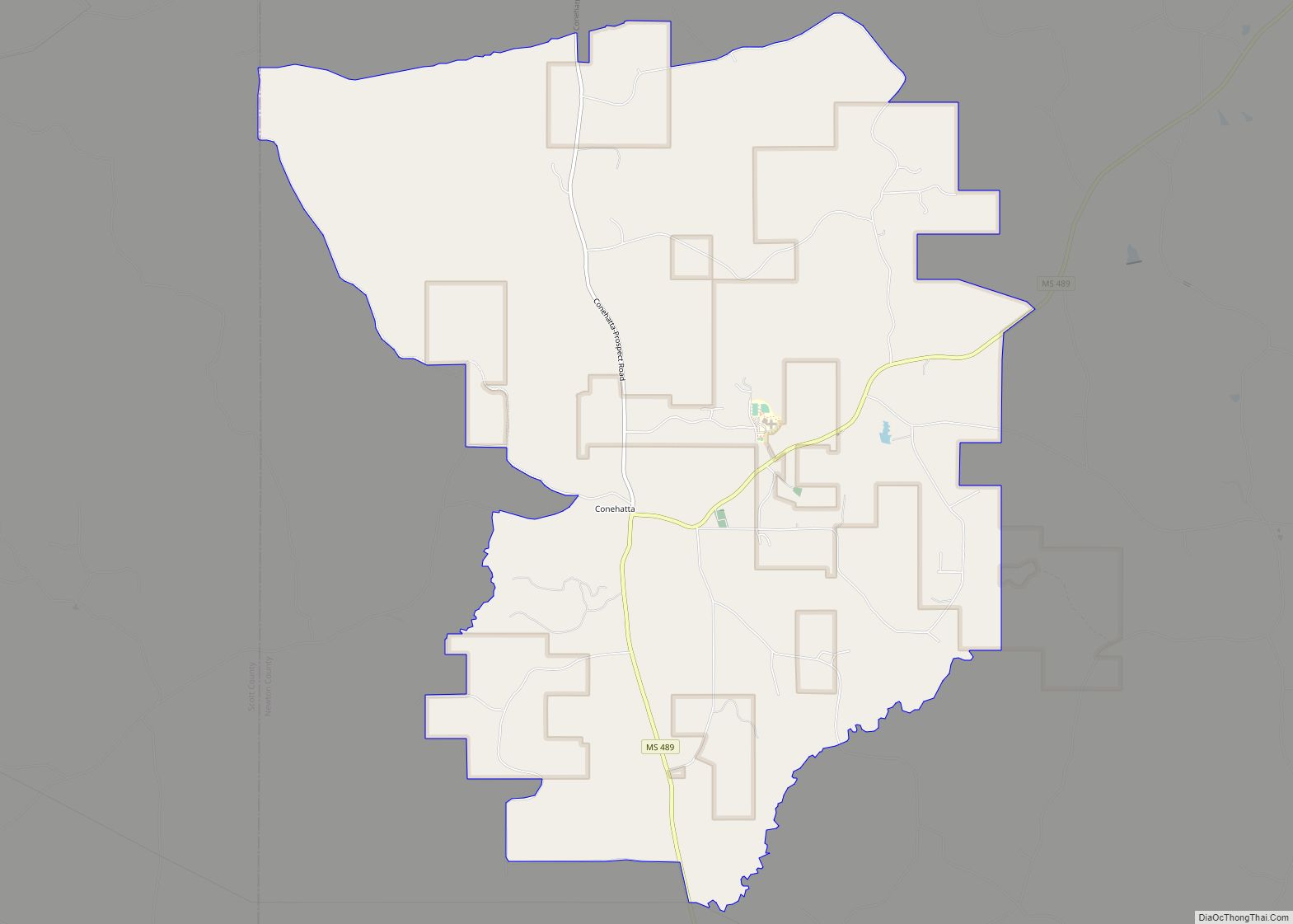
Conehatta is a census-designated place (CDP) in Newton County, Mississippi. The population was 997 at the 2000 census. It is one of the eight communities included in the Mississippi Band of Choctaw Indians Reservation and the population is 76% Choctaw. The community takes its name from Conehatta Creek. Conehatta CDP overview: Name: Conehatta CDP LSAD ... Read more
