Collins is a city in Covington County, Mississippi, United States. The population was 2,586 at the 2010 census. It is the county seat of Covington County.
| Name: | Collins city |
|---|---|
| LSAD Code: | 25 |
| LSAD Description: | city (suffix) |
| State: | Mississippi |
| County: | Covington County |
| Incorporated: | November 24, 1906 |
| Elevation: | 292 ft (89 m) |
| Total Area: | 7.99 sq mi (20.69 km²) |
| Land Area: | 7.96 sq mi (20.62 km²) |
| Water Area: | 0.03 sq mi (0.08 km²) |
| Total Population: | 2,342 |
| Population Density: | 294.18/sq mi (113.59/km²) |
| ZIP code: | 39428 |
| Area code: | 601 |
| FIPS code: | 2815140 |
| GNISfeature ID: | 0668700 |
| Website: | www.cityofcollins.com |
Online Interactive Map
Click on ![]() to view map in "full screen" mode.
to view map in "full screen" mode.
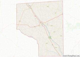
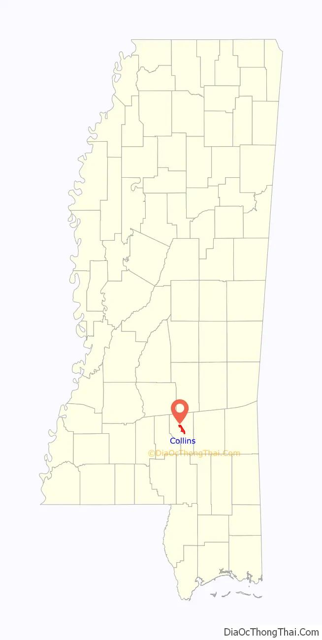
Collins location map. Where is Collins city?

History
From Williamsburg Depot to Collins
Collins was originally incorporated as Williamsburg Depot in 1899. The Gulf and Ship Island Railroad had completed construction, and bypassed Williamsburg, the county seat at that time. The sawmills moved to the new town of Williamsburg Depot in order to be closer to the railroad. As lumber was an important industry during the time, the town moved with them. Not long after, Williamsburg Depot grew to a town of 6,000 – 7,000 people.
Eventually, the difficulties of having such a long town name, Williamsburg Depot, became clear. The length caused many people to write it over their stamps, voiding the postage. In order to correct this issue, the postmaster asked to have the town name changed in 1905, and the postal service came up with a short and easy name “Bad”. For reasons that may be clear, the residents rejected this name, and eventually came up with Collins, in honor of Fred W. Collins, leader of the state’s Republican party and U. S. Marshal for the Southern District of Mississippi. The town’s name was officially changed on November 24, 1906.
Becoming the county seat
In 1906, a portion of the west side of Covington County became Jefferson Davis County. As a result, Williamsburg lost its position at the center of the county, and a new county seat was needed. Collins eventually emerged over Seminary and Ora, Mississippi, and a new county courthouse was built. The first court place was held in 1908.
Decline and resurgence
Eventually, the lumber industry in Collins exhausted the timber resources and moved. The town population dwindled from 7,000 to 700. However, industry began to return to the town in 1936 when U.S. 49 and U.S. 84 were built, putting the town at the crossroads of these two major highways. In addition, the Plantation Pipeline was run from Baton Rouge to the east coast. It passed through the community of Kola, which was soon annexed by Collins.
Hurricane Katrina and Duryea Adopt-A-Town
In September 2005, Hurricane Katrina struck Collins. As most aid agencies were concentrating on major metropolitan areas such as New Orleans, small towns like Collins were seemingly overlooked. Duryea, Pennsylvania, which had experienced similar flooding as the result of Hurricane Agnes in 1972, sought a town similar in size and demographics to “adopt” and help rebuild after the devastation wrought by the largest natural disaster in the history of the town. By hosting a bazaar and through other various fundraising efforts, Duryea helped rebuild. Collins Mayor V.O. Smith and his wife, Ada, flew to Duryea to thank their mayor Keith Moss, organizer Trina Moss and the townspeople of Duryea. This led to a bond between the two towns and has included several visits to both towns.
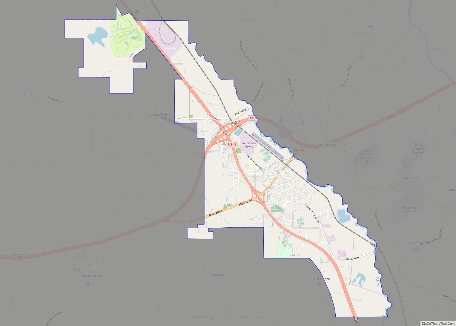
Collins Road Map

Collins city Satellite Map

Geography
Collins is located near the center of Covington County, along the southwest side of Okatoma Creek, a tributary of the Bowie River and part of the Pascagoula River watershed.
According to the United States Census Bureau, Collins has a total area of 8.0 square miles (20.7 km), of which 8.0 square miles (20.6 km) is land and 0.04 square miles (0.1 km), or 0.37%, is water.
See also
Map of Mississippi State and its subdivision:- Adams
- Alcorn
- Amite
- Attala
- Benton
- Bolivar
- Calhoun
- Carroll
- Chickasaw
- Choctaw
- Claiborne
- Clarke
- Clay
- Coahoma
- Copiah
- Covington
- Desoto
- Forrest
- Franklin
- George
- Greene
- Grenada
- Hancock
- Harrison
- Hinds
- Holmes
- Humphreys
- Issaquena
- Itawamba
- Jackson
- Jasper
- Jefferson
- Jefferson Davis
- Jones
- Kemper
- Lafayette
- Lamar
- Lauderdale
- Lawrence
- Leake
- Lee
- Leflore
- Lincoln
- Lowndes
- Madison
- Marion
- Marshall
- Monroe
- Montgomery
- Neshoba
- Newton
- Noxubee
- Oktibbeha
- Panola
- Pearl River
- Perry
- Pike
- Pontotoc
- Prentiss
- Quitman
- Rankin
- Scott
- Sharkey
- Simpson
- Smith
- Stone
- Sunflower
- Tallahatchie
- Tate
- Tippah
- Tishomingo
- Tunica
- Union
- Walthall
- Warren
- Washington
- Wayne
- Webster
- Wilkinson
- Winston
- Yalobusha
- Yazoo
- Alabama
- Alaska
- Arizona
- Arkansas
- California
- Colorado
- Connecticut
- Delaware
- District of Columbia
- Florida
- Georgia
- Hawaii
- Idaho
- Illinois
- Indiana
- Iowa
- Kansas
- Kentucky
- Louisiana
- Maine
- Maryland
- Massachusetts
- Michigan
- Minnesota
- Mississippi
- Missouri
- Montana
- Nebraska
- Nevada
- New Hampshire
- New Jersey
- New Mexico
- New York
- North Carolina
- North Dakota
- Ohio
- Oklahoma
- Oregon
- Pennsylvania
- Rhode Island
- South Carolina
- South Dakota
- Tennessee
- Texas
- Utah
- Vermont
- Virginia
- Washington
- West Virginia
- Wisconsin
- Wyoming