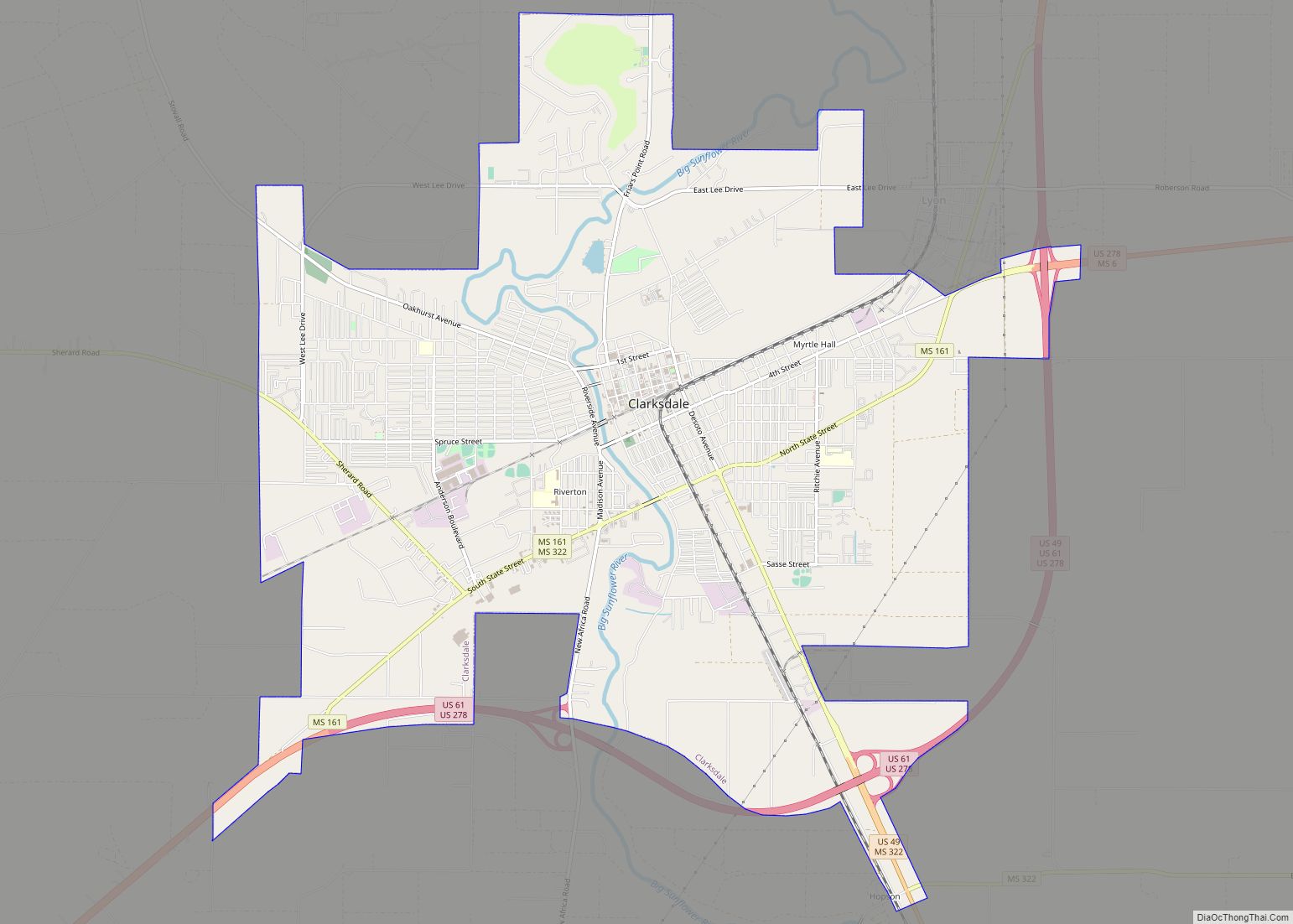
Clarksdale is a city in and the county seat of Coahoma County, Mississippi, United States. It is located along the Sunflower River. Clarksdale is named after John Clark, a settler who founded the city in the mid-19th century when he established a timber mill and business.
The western boundary of the county is formed by the Mississippi River. In the Mississippi Delta region, Clarksdale is an agricultural and trading center. Many African-American musicians developed the blues here, and took this original American music with them to Chicago and other northern cities during the Great Migration.
| Name: | Clarksdale city |
|---|---|
| LSAD Code: | 25 |
| LSAD Description: | city (suffix) |
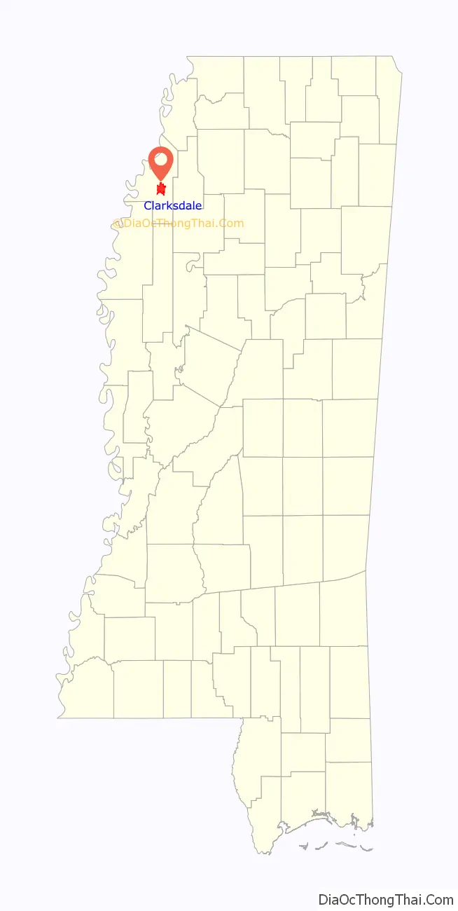
| State: | Mississippi |
| County: | Coahoma County |
| Elevation: | 174 ft (53 m) |
| Total Area: | 18.79 sq mi (48.67 km²) |
| Land Area: | 18.79 sq mi (48.67 km²) |
| Water Area: | 0.00 sq mi (0.00 km²) |
| Total Population: | 14,903 |
| Population Density: | 793.01/sq mi (306.18/km²) |
| Area code: | 662 |
| FIPS code: | 2813820 |
| GNISfeature ID: | 0666084 |
Online Interactive Map
Click on ![]() to view map in "full screen" mode.
to view map in "full screen" mode.
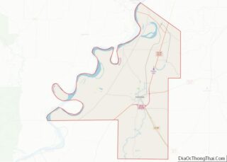
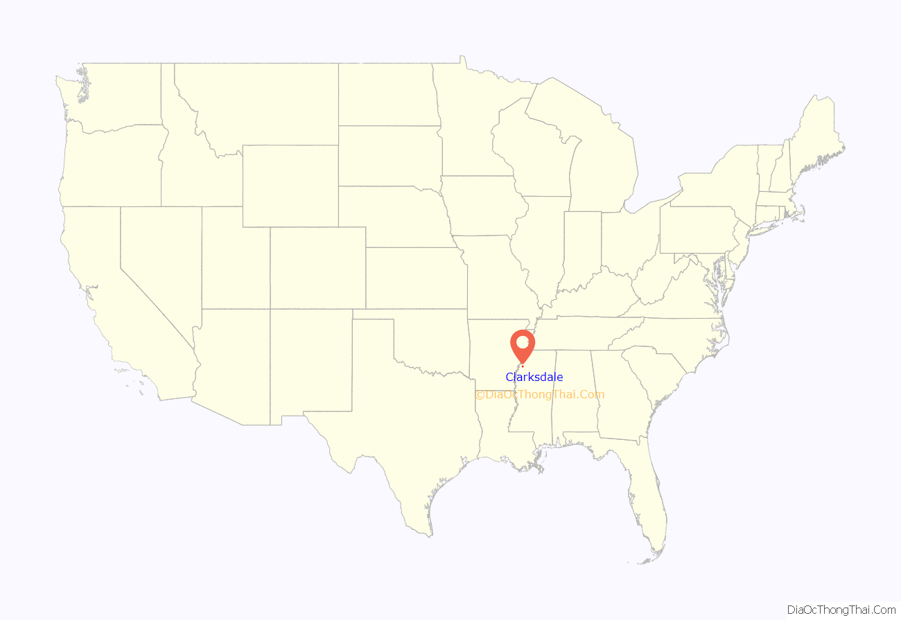
Clarksdale location map. Where is Clarksdale city?
History
Early history
The Choctaw and Chickasaw Indians had occupied the Delta region for thousands of years prior to the arrival of European settlers, and had each developed complex cultures that took full advantage of their environment.
European Americans built on this past, developing Clarksdale at the intersection of two former Indian routes: the Lower Creek Trade Path, which extended westward from present-day Augusta, Georgia, to New Mexico; and the Chakchiuma Trade Trail, which ran northeastward to the former village at present-day Pontotoc, Mississippi. They later improved these trails for roadways wide enough for wagons.
The first removal treaty carried out under the Indian Removal Act was the 1830 Treaty of Dancing Rabbit Creek, by which the Choctaw people were forced to cede 15 million acres of their homelands to the United States and to move to Indian Territory (now part of Oklahoma), west of the Mississippi River. A similar forced removal of the Chickasaw Nation began in 1837; when they reached Indian Territory, the federal government assigned them to what had been the westernmost part of the Choctaw Nation.
Development of cotton plantations
Following the removal of the Indians, European-American settlers migrated to the Delta region, where the fertile lowlands soil proved to be excellent for growing cotton after the land was cleared. They brought or purchased thousands of enslaved African Americans to work the several extensive cotton plantations developed in the county. The first ones were always developed with riverfront access, as the waterways were the chief forms of transportation.
John Clark founded the town of Clarksdale in 1848, when he bought land in the area and started a timber business. It became a trading center. Clark married the sister of James Lusk Alcorn, a major planter who owned a nearby plantation. Alcorn became a politician, and was elected by the state legislature as US Senator. Later he was elected by voters as governor of the state. Thriving from the cotton trade and associated business, Clarksdale soon earned the title “The Golden Buckle on the Cotton Belt”.
African-American slaves cultivated and processed cotton, worked as artisans, and cultivated and processed produce and livestock on the plantations. They built the wealth of “King Cotton” in the state. U.S. Census data shows Coahoma County, Mississippi‘s 1860 population was 1,521 whites and 5,085 slaves. James Alcorn was a major planter, owning 77 slaves according to the 1860 Slave Schedule.
Cedar Mound Plantation, located 5 miles south of Clarksdale, was purchased and named in 1834 by Alex Kerr Boyce. He died childless and it was inherited by his niece Mrs. Catherine (Kate) (née Henderson) Adams of South Carolina. She divided it among her unmarried children: Jennie, Will, and Lucia Adams. The sisters’ correspondence (1845-1944) is held in a collection in their name at the University of Mississippi.
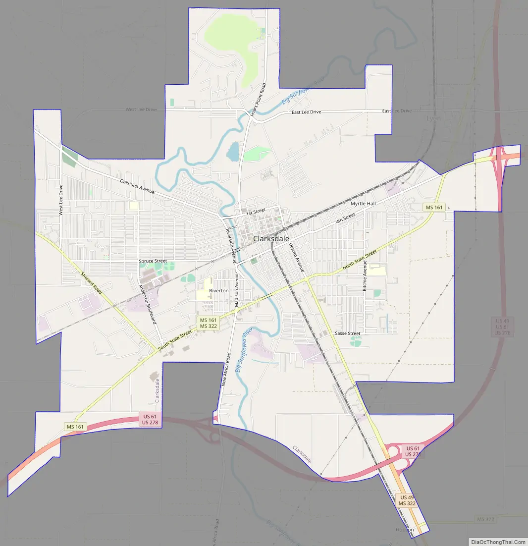
Clarksdale Road Map
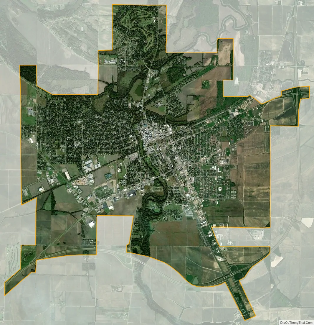
Clarksdale city Satellite Map
Geography
Clarksdale is located on the banks of the Sunflower River in the Mississippi Delta.
According to the United States Census Bureau, the city has a total area of 13.9 square miles (36 km), of which 13.8 square miles (36 km) is land and 0.07% is water.
U.S. Routes 49, 61, and 278 pass through Clarksdale.
Climate
See also
Map of Mississippi State and its subdivision:- Adams
- Alcorn
- Amite
- Attala
- Benton
- Bolivar
- Calhoun
- Carroll
- Chickasaw
- Choctaw
- Claiborne
- Clarke
- Clay
- Coahoma
- Copiah
- Covington
- Desoto
- Forrest
- Franklin
- George
- Greene
- Grenada
- Hancock
- Harrison
- Hinds
- Holmes
- Humphreys
- Issaquena
- Itawamba
- Jackson
- Jasper
- Jefferson
- Jefferson Davis
- Jones
- Kemper
- Lafayette
- Lamar
- Lauderdale
- Lawrence
- Leake
- Lee
- Leflore
- Lincoln
- Lowndes
- Madison
- Marion
- Marshall
- Monroe
- Montgomery
- Neshoba
- Newton
- Noxubee
- Oktibbeha
- Panola
- Pearl River
- Perry
- Pike
- Pontotoc
- Prentiss
- Quitman
- Rankin
- Scott
- Sharkey
- Simpson
- Smith
- Stone
- Sunflower
- Tallahatchie
- Tate
- Tippah
- Tishomingo
- Tunica
- Union
- Walthall
- Warren
- Washington
- Wayne
- Webster
- Wilkinson
- Winston
- Yalobusha
- Yazoo
- Alabama
- Alaska
- Arizona
- Arkansas
- California
- Colorado
- Connecticut
- Delaware
- District of Columbia
- Florida
- Georgia
- Hawaii
- Idaho
- Illinois
- Indiana
- Iowa
- Kansas
- Kentucky
- Louisiana
- Maine
- Maryland
- Massachusetts
- Michigan
- Minnesota
- Mississippi
- Missouri
- Montana
- Nebraska
- Nevada
- New Hampshire
- New Jersey
- New Mexico
- New York
- North Carolina
- North Dakota
- Ohio
- Oklahoma
- Oregon
- Pennsylvania
- Rhode Island
- South Carolina
- South Dakota
- Tennessee
- Texas
- Utah
- Vermont
- Virginia
- Washington
- West Virginia
- Wisconsin
- Wyoming