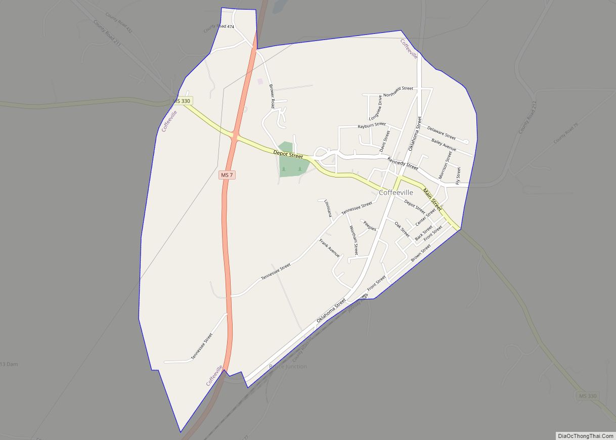
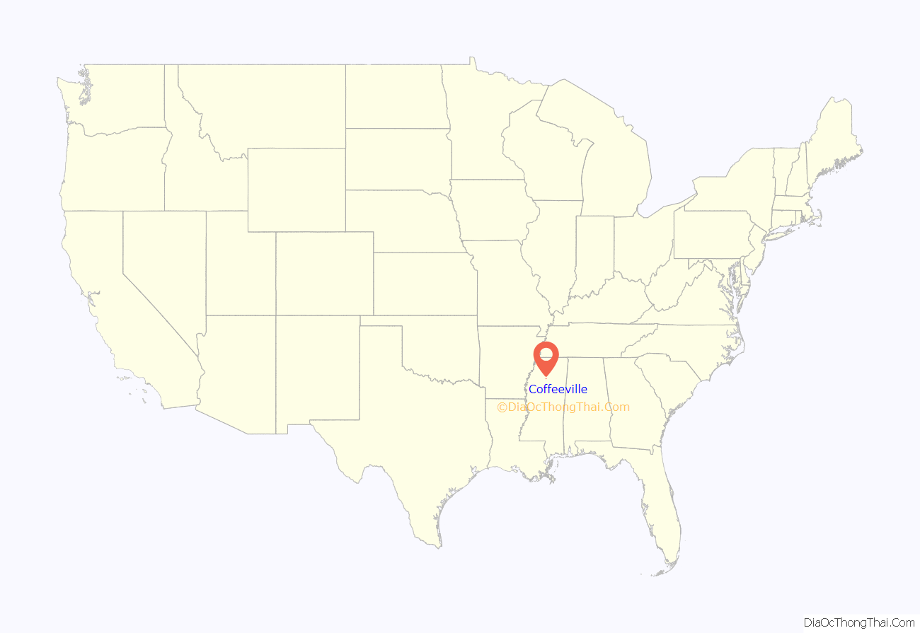
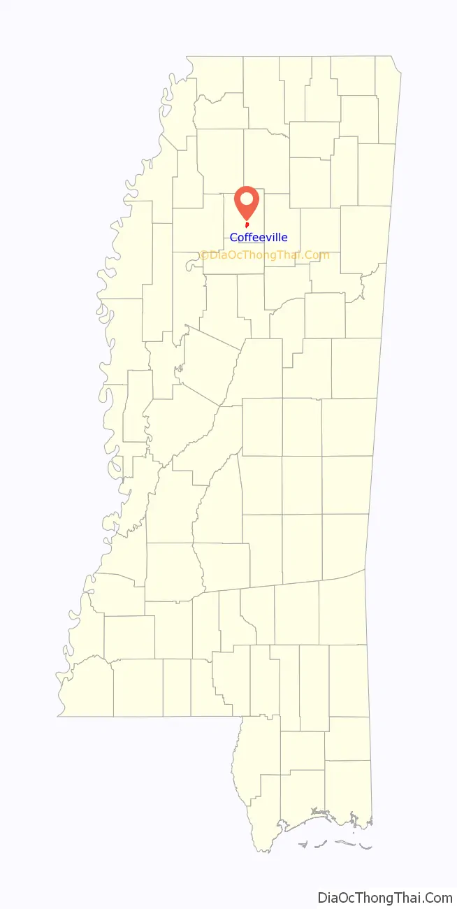
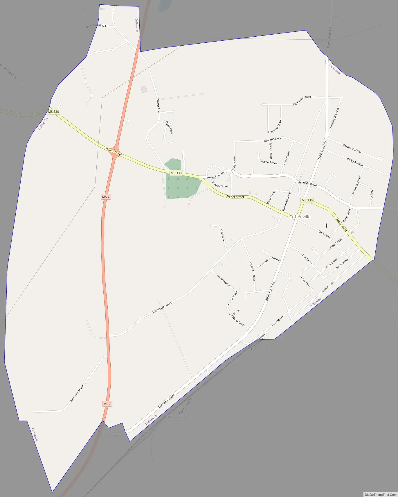
Coffeeville is a town in and one of two county seats of Yalobusha County, Mississippi, United States. The population was 905 at the 2010 census. It is named after John Coffee (1772–1833), a planter and military leader. The minor American Civil War Battle of Coffeeville took place near here in December 1862.
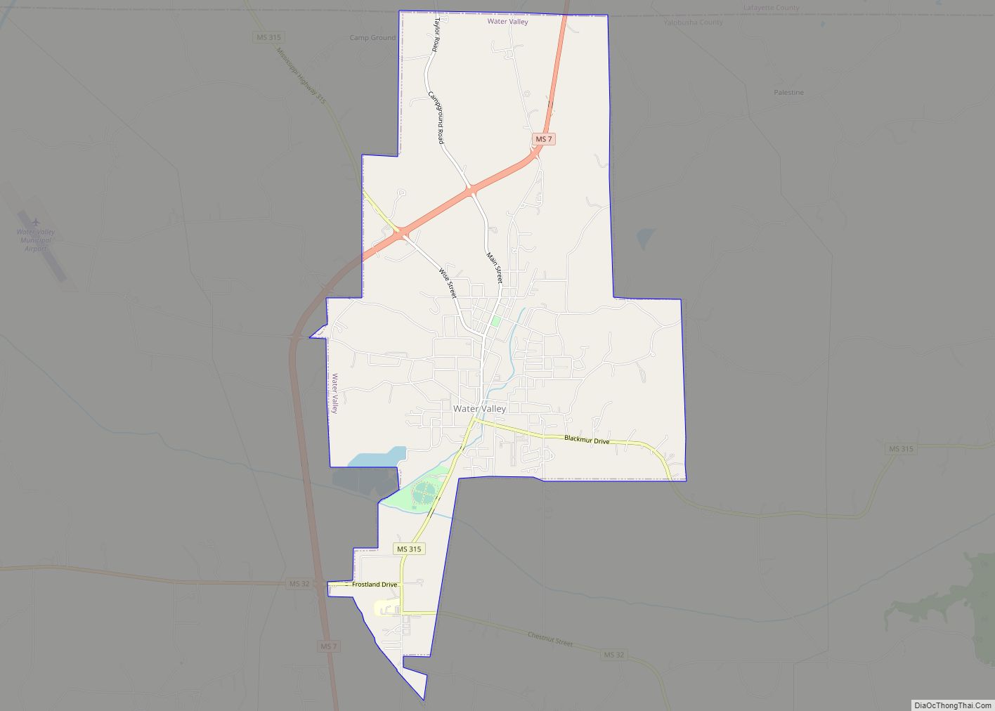
Water Valley, Mississippi, in the northeastern part of the county, is the second county seat and judicial district. Once a center of railroad shops, it is the largest city in the county.
| Name: | Coffeeville town |
|---|---|
| LSAD Code: | 43 |
| LSAD Description: | town (suffix) |
| State: | Mississippi |
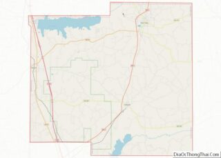
| County: | Yalobusha County |
| Elevation: | 266 ft (81 m) |
| Total Area: | 2.14 sq mi (5.55 km²) |
| Land Area: | 2.14 sq mi (5.55 km²) |
| Water Area: | 0.00 sq mi (0.00 km²) |
| Total Population: | 797 |
| Population Density: | 371.74/sq mi (143.53/km²) |
| ZIP code: | 38922 |
| Area code: | 662 |
| FIPS code: | 2814740 |
| GNISfeature ID: | 0692939 |
| Website: | www.coffeevillems.com |
Online Interactive Map
Click on ![]() to view map in "full screen" mode.
to view map in "full screen" mode.
Coffeeville location map. Where is Coffeeville town?
Coffeeville Road Map
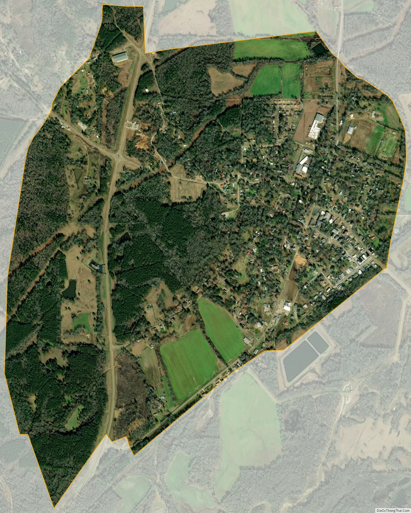
Coffeeville city Satellite Map
Geography
According to the United States Census Bureau, the town has a total area of 2.2 square miles (5.7 km), all land.
See also
Map of Mississippi State and its subdivision:- Adams
- Alcorn
- Amite
- Attala
- Benton
- Bolivar
- Calhoun
- Carroll
- Chickasaw
- Choctaw
- Claiborne
- Clarke
- Clay
- Coahoma
- Copiah
- Covington
- Desoto
- Forrest
- Franklin
- George
- Greene
- Grenada
- Hancock
- Harrison
- Hinds
- Holmes
- Humphreys
- Issaquena
- Itawamba
- Jackson
- Jasper
- Jefferson
- Jefferson Davis
- Jones
- Kemper
- Lafayette
- Lamar
- Lauderdale
- Lawrence
- Leake
- Lee
- Leflore
- Lincoln
- Lowndes
- Madison
- Marion
- Marshall
- Monroe
- Montgomery
- Neshoba
- Newton
- Noxubee
- Oktibbeha
- Panola
- Pearl River
- Perry
- Pike
- Pontotoc
- Prentiss
- Quitman
- Rankin
- Scott
- Sharkey
- Simpson
- Smith
- Stone
- Sunflower
- Tallahatchie
- Tate
- Tippah
- Tishomingo
- Tunica
- Union
- Walthall
- Warren
- Washington
- Wayne
- Webster
- Wilkinson
- Winston
- Yalobusha
- Yazoo
- Alabama
- Alaska
- Arizona
- Arkansas
- California
- Colorado
- Connecticut
- Delaware
- District of Columbia
- Florida
- Georgia
- Hawaii
- Idaho
- Illinois
- Indiana
- Iowa
- Kansas
- Kentucky
- Louisiana
- Maine
- Maryland
- Massachusetts
- Michigan
- Minnesota
- Mississippi
- Missouri
- Montana
- Nebraska
- Nevada
- New Hampshire
- New Jersey
- New Mexico
- New York
- North Carolina
- North Dakota
- Ohio
- Oklahoma
- Oregon
- Pennsylvania
- Rhode Island
- South Carolina
- South Dakota
- Tennessee
- Texas
- Utah
- Vermont
- Virginia
- Washington
- West Virginia
- Wisconsin
- Wyoming