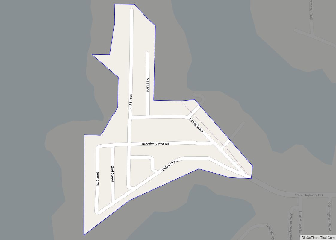
Map of Cliff Village village

Map of Cliff Village village

Cliff Village is a village in Newton County, Missouri, United States. The population was 40 at the 2010 census. It is part of the Joplin, Missouri Metropolitan Statistical Area. Cliff Village village overview: Name: Cliff Village village LSAD Code: 47 LSAD Description: village (suffix) State: Missouri County: Newton County Elevation: 955 ft (291 m) Total Area: 0.04 sq mi … Read more

Map of Climax Springs CDP

Map of Climax Springs CDP

Climax Springs is a census-designated place and former village in Camden County, Missouri, United States. The population was 124 at the 2010 census. Climax Springs CDP overview: Name: Climax Springs CDP LSAD Code: 57 LSAD Description: CDP (suffix) State: Missouri County: Benton County, Camden County Elevation: 971 ft (296 m) Total Area: 0.81 sq mi (2.09 km²) Land Area: 0.81 sq mi … Read more

Map of Cobalt village

Map of Cobalt village

Cobalt Village is a village which is located in Madison County, Missouri, United States. As of the 2020 census, the population is 264. Cobalt village overview: Name: Cobalt village LSAD Code: 47 LSAD Description: village (suffix) State: Missouri County: Madison County Elevation: 774 ft (236 m) Total Area: 0.15 sq mi (0.39 km²) Land Area: 0.15 sq mi (0.39 km²) Water Area: 0.00 sq mi … Read more

Map of Clyde village, Missouri

Map of Clyde village, Missouri

Clyde is a village in eastern Nodaway County, Missouri, United States. The population was 82 at the 2010 census. It is home to the Benedictine Convent of Perpetual Adoration which houses 550 documented saint relics—one of the largest collections in the United States. Clyde village overview: Name: Clyde village LSAD Code: 47 LSAD Description: village … Read more

Map of Clinton city, Missouri

Map of Clinton city, Missouri

Clinton is a city in Henry County, Missouri, United States. The population was 8,792 at the 2020 census. It is the county seat of Henry County. Clinton city overview: Name: Clinton city LSAD Code: 25 LSAD Description: city (suffix) State: Missouri County: Henry County Elevation: 797 ft (243 m) Total Area: 9.29 sq mi (24.05 km²) Land Area: 9.17 sq mi (23.75 km²) … Read more

Map of Collins village, Missouri

Map of Collins village, Missouri

Collins is a village in St. Clair County, Missouri, United States. The population was 125 at the 2020 census. Collins village overview: Name: Collins village LSAD Code: 47 LSAD Description: village (suffix) State: Missouri County: St. Clair County Elevation: 876 ft (267 m) Total Area: 0.25 sq mi (0.64 km²) Land Area: 0.25 sq mi (0.64 km²) Water Area: 0.00 sq mi (0.00 km²) Total Population: … Read more

Map of Cole Camp city

Map of Cole Camp city

Cole Camp is a small city in Benton County, Missouri, United States. The population was 1,121 at the 2010 census. The town is known for the annual street fair in September. It also hosts a Maifest in May, an Oktoberfest in October, and a Christbaumfest in late November; all highlight the town’s German heritage. Cole … Read more

Map of Coffey city

Map of Coffey city

Coffey is a city in northern Daviess County, Missouri, United States. The population was 151 at the 2020 census. Coffey city overview: Name: Coffey city LSAD Code: 25 LSAD Description: city (suffix) State: Missouri County: Daviess County Elevation: 932 ft (284 m) Total Area: 0.21 sq mi (0.54 km²) Land Area: 0.21 sq mi (0.54 km²) Water Area: 0.00 sq mi (0.00 km²) Total Population: 151 … Read more

Map of Conception CDP

Map of Conception CDP

Conception is a census-designated place in eastern Nodaway County, Missouri, United States. It is located about 11 mi (18 km) southeast of Maryville on U.S. Route 136. It is very near Conception Junction (which was the rail intersection). Conception is home to Conception Abbey. Conception CDP overview: Name: Conception CDP LSAD Code: 57 LSAD Description: CDP (suffix) … Read more

Map of Conception Junction town

Map of Conception Junction town

Conception Junction is a city in Nodaway County, Missouri, United States, near the Platte River. The population was 198 at the 2010 census, at which time it was a town. Conception Junction town overview: Name: Conception Junction town LSAD Code: 43 LSAD Description: town (suffix) State: Missouri County: Nodaway County Elevation: 1,014 ft (309 m) Total Area: … Read more

Map of Commerce village, Missouri

Map of Commerce village, Missouri

Commerce is a Mississippi River village in Scott County, Missouri, United States. The population was 67 at the time of the 2010 census. Commerce village overview: Name: Commerce village LSAD Code: 47 LSAD Description: village (suffix) State: Missouri County: Scott County Elevation: 348 ft (106 m) Total Area: 0.35 sq mi (0.90 km²) Land Area: 0.35 sq mi (0.90 km²) Water Area: 0.00 sq mi … Read more

Map of Coney Island village

Map of Coney Island village

Coney Island is a village in Stone County, Missouri, United States. The population was 47 at the 2020 census. It is part of the Branson, Missouri Micropolitan Statistical Area. Coney Island village overview: Name: Coney Island village LSAD Code: 47 LSAD Description: village (suffix) State: Missouri County: Stone County Elevation: 978 ft (298 m) Total Area: 0.06 sq mi … Read more