Commerce is a Mississippi River village in Scott County, Missouri, United States. The population was 67 at the time of the 2010 census.
| Name: | Commerce village |
|---|---|
| LSAD Code: | 47 |
| LSAD Description: | village (suffix) |
| State: | Missouri |
| County: | Scott County |
| Elevation: | 348 ft (106 m) |
| Total Area: | 0.35 sq mi (0.90 km²) |
| Land Area: | 0.35 sq mi (0.90 km²) |
| Water Area: | 0.00 sq mi (0.00 km²) |
| Total Population: | 45 |
| Population Density: | 130.06/sq mi (50.22/km²) |
| ZIP code: | 63742 |
| Area code: | 573 |
| FIPS code: | 2915760 |
| GNISfeature ID: | 2398607 |
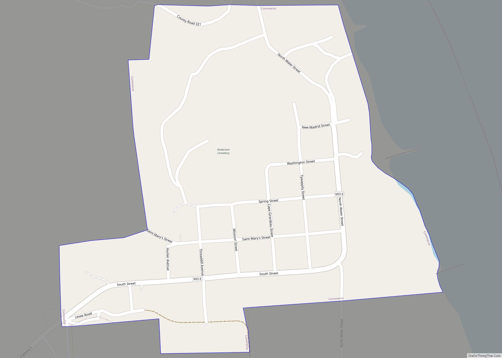
Online Interactive Map
Click on ![]() to view map in "full screen" mode.
to view map in "full screen" mode.
Commerce location map. Where is Commerce village?


History
In 1788, the present site of Commerce was first occupied by French settlers, making Commerce apparently the third-oldest present site settlement in Missouri after St Louis and St. Charles. A trading post established in 1803 served as the center of commerce for the region, hence the name of the settlement. In 1823, the circuit court ordered a board of commissioners to be appointed to lay out lots here and, from 1864 to 1878, Commerce was the county seat of Scott County.
Commerce was one of the few areas in Scott County to have uninterrupted mail service during the Civil War, as guerilla bands elsewhere made delivery unsafe for the northern carriers. Commerce, along with the German settlement of New Hamburg, were the two enclaves of Union sympathizers in Scott County during the war. On November 1, 1861, Colonel Oglesby landed in Commerce with about 3,000 men, where his soldiers soon exchanged shots with M. Jeff Thompson — who raided the Commerce on December 29, 1861. On February 21, 1862, General Pope landed here with 140 troops, but when he left a week later his force consisted of 26,153 men. The island in front of Commerce was known as Cat Island at least as early as Mark Twain’s time; however, it has been absorbed by Powers Island to the south.
Commerce was a Methodist town, with a congregation established as early as 1825 and without a Baptist church until 1906.
Commerce Road Map
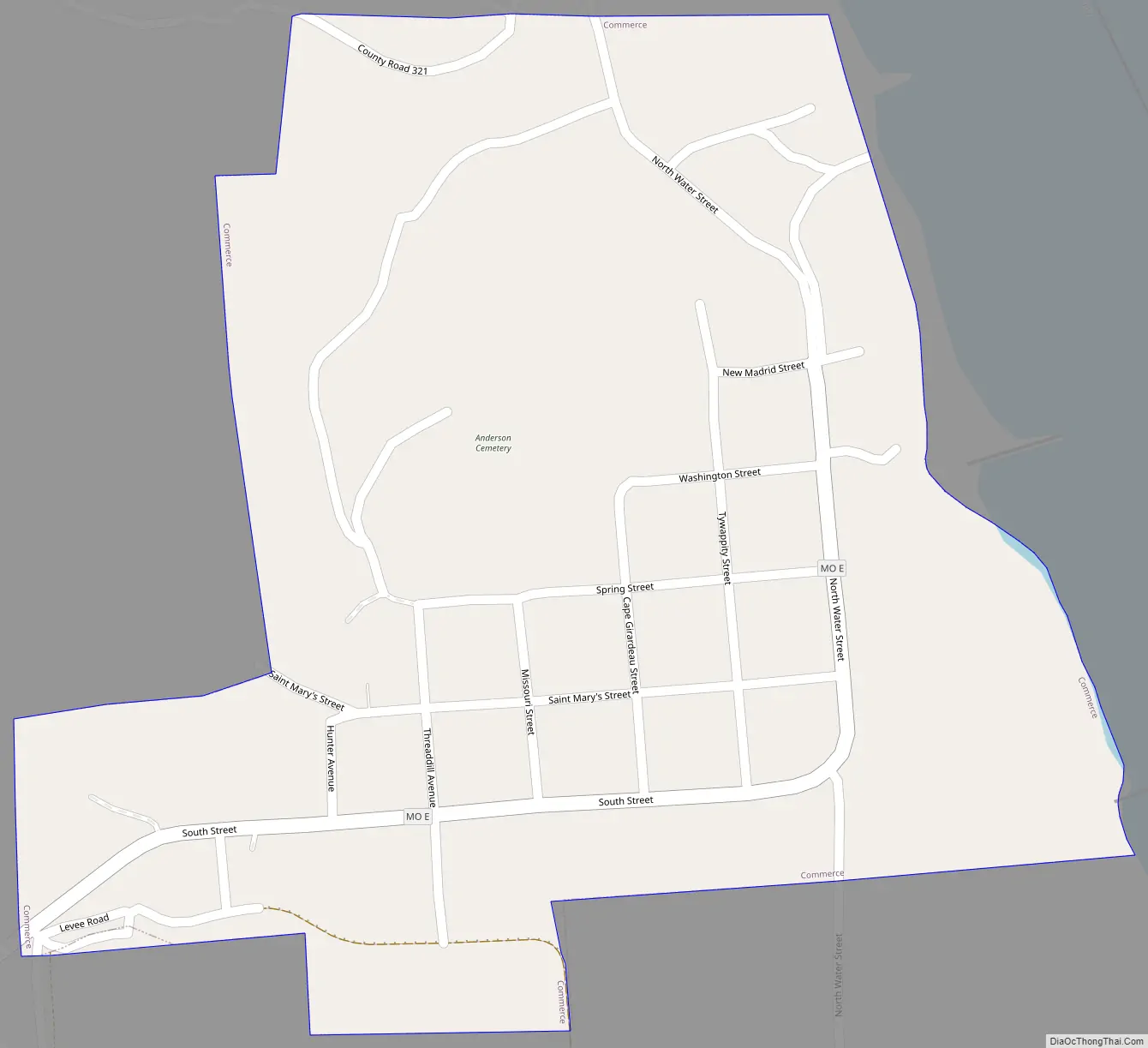
Commerce city Satellite Map

Geography
According to the United States Census Bureau, the village has a total area of 0.35 square miles (0.91 km), all land.
See also
Map of Missouri State and its subdivision:- Adair
- Andrew
- Atchison
- Audrain
- Barry
- Barton
- Bates
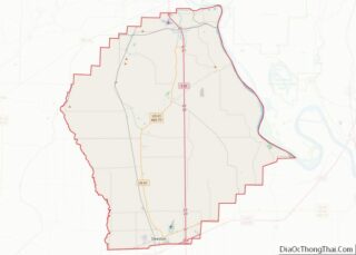
- Benton
- Bollinger
- Boone
- Buchanan
- Butler
- Caldwell
- Callaway
- Camden
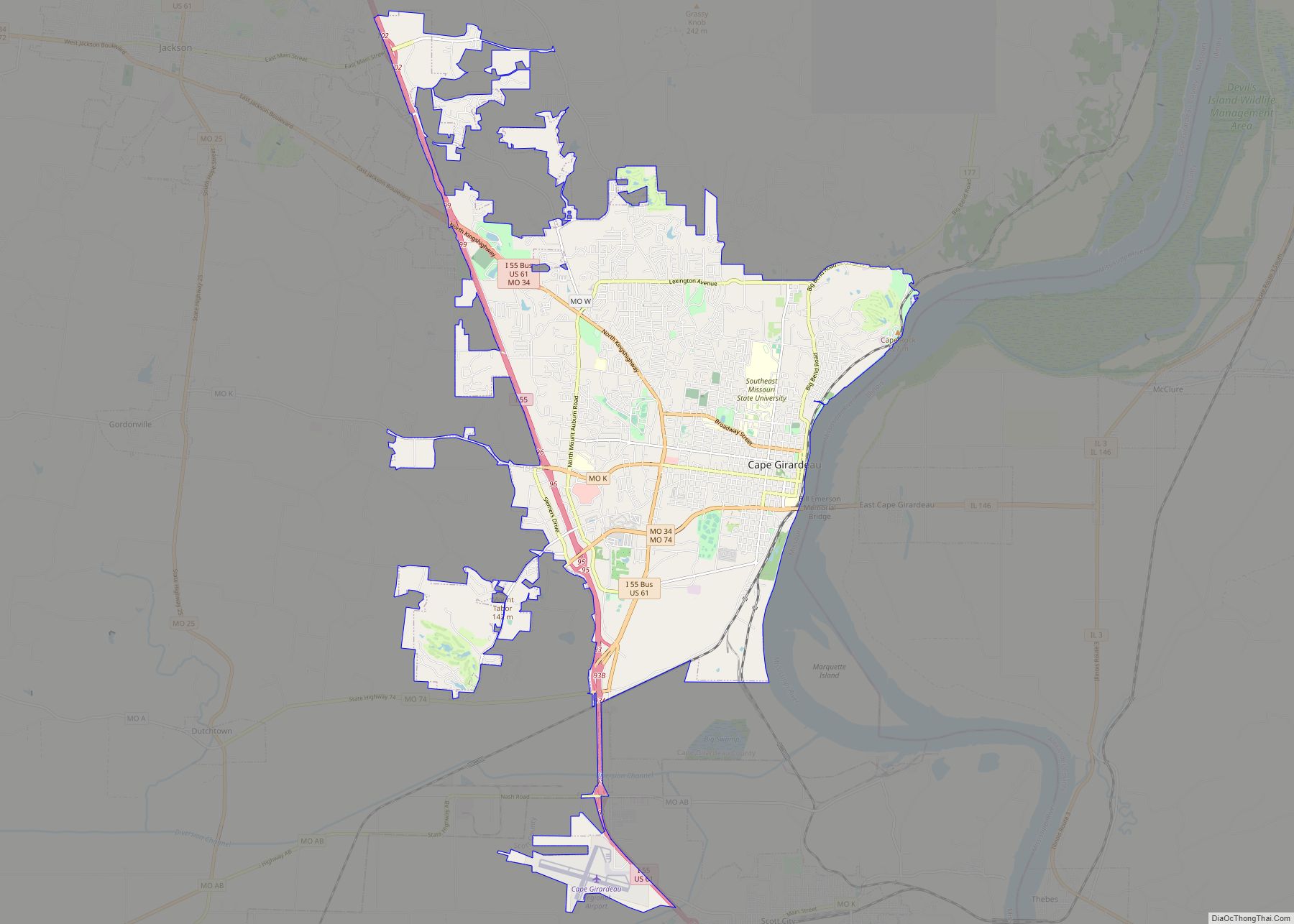
- Cape Girardeau
- Carroll
- Carter
- Cass
- Cedar
- Chariton
- Christian
- Clark
- Clay
- Clinton
- Cole
- Cooper
- Crawford
- Dade
- Dallas
- Daviess
- De Kalb
- Dent
- Douglas
- Dunklin
- Franklin
- Gasconade
- Gentry
- Greene
- Grundy
- Harrison
- Henry
- Hickory
- Holt
- Howard
- Howell
- Iron
- Jackson
- Jasper
- Jefferson
- Johnson
- Knox
- Laclede
- Lafayette
- Lawrence
- Lewis
- Lincoln
- Linn
- Livingston
- Macon
- Madison
- Maries
- Marion
- McDonald
- Mercer
- Miller
- Mississippi
- Moniteau
- Monroe
- Montgomery
- Morgan
- New Madrid
- Newton
- Nodaway
- Oregon
- Osage
- Ozark
- Pemiscot
- Perry
- Pettis
- Phelps
- Pike
- Platte
- Polk
- Pulaski
- Putnam
- Ralls
- Randolph
- Ray
- Reynolds
- Ripley
- Saint Charles
- Saint Clair
- Saint Francois
- Saint Louis
- Sainte Genevieve
- Saline
- Schuyler
- Scotland
- Scott
- Shannon
- Shelby
- Stoddard
- Stone
- Sullivan
- Taney
- Texas
- Vernon
- Warren
- Washington
- Wayne
- Webster
- Worth
- Wright
- Alabama
- Alaska
- Arizona
- Arkansas
- California
- Colorado
- Connecticut
- Delaware
- District of Columbia
- Florida
- Georgia
- Hawaii
- Idaho
- Illinois
- Indiana
- Iowa
- Kansas
- Kentucky
- Louisiana
- Maine
- Maryland
- Massachusetts
- Michigan
- Minnesota
- Mississippi
- Missouri
- Montana
- Nebraska
- Nevada
- New Hampshire
- New Jersey
- New Mexico
- New York
- North Carolina
- North Dakota
- Ohio
- Oklahoma
- Oregon
- Pennsylvania
- Rhode Island
- South Carolina
- South Dakota
- Tennessee
- Texas
- Utah
- Vermont
- Virginia
- Washington
- West Virginia
- Wisconsin
- Wyoming