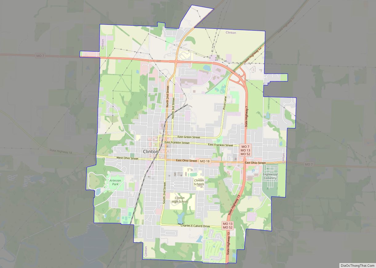
Clinton is a city in Henry County, Missouri, United States. The population was 8,792 at the 2020 census. It is the county seat of Henry County.
| Name: | Clinton city |
|---|---|
| LSAD Code: | 25 |
| LSAD Description: | city (suffix) |
| State: | Missouri |
| County: | Henry County |
| Elevation: | 797 ft (243 m) |
| Total Area: | 9.29 sq mi (24.05 km²) |
| Land Area: | 9.17 sq mi (23.75 km²) |
| Water Area: | 0.12 sq mi (0.30 km²) |
| Total Population: | 9,174 |
| Population Density: | 1,000.33/sq mi (386.25/km²) |
| ZIP code: | 64735 |
| Area code: | 660 |
| FIPS code: | 2914986 |
| GNISfeature ID: | 2393570 |
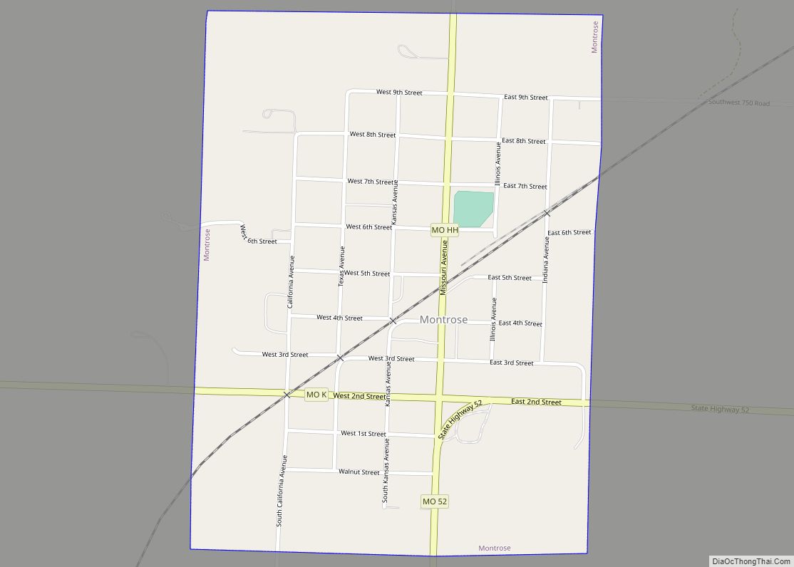
Online Interactive Map
Click on ![]() to view map in "full screen" mode.
to view map in "full screen" mode.
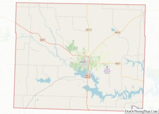
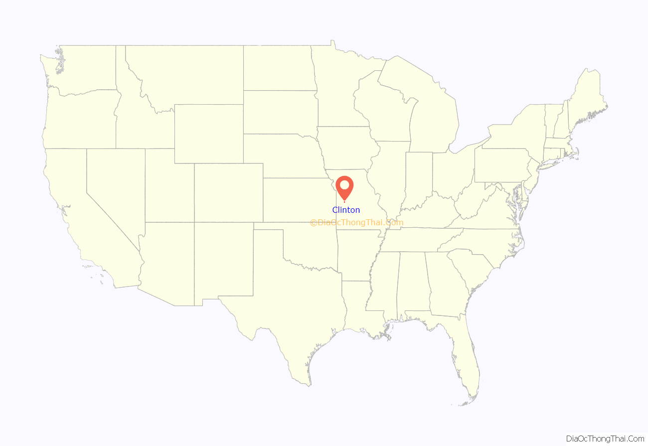
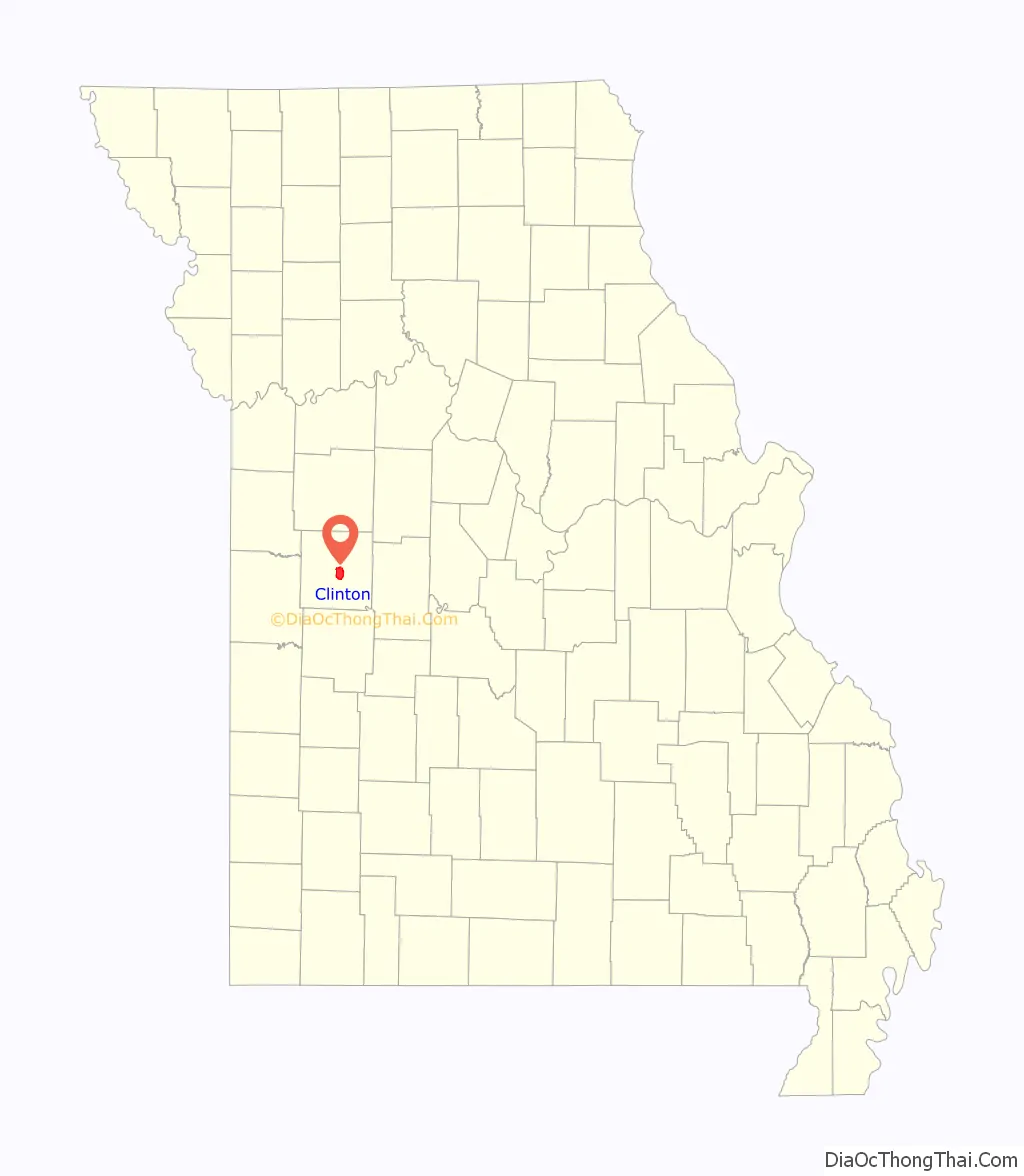
Clinton location map. Where is Clinton city?
History
Clinton was laid out in 1836. The city was named for New York Governor DeWitt Clinton, a key promoter of the Erie Canal. A post office called Clinton has been in operation since 1850. The railroad reached Clinton in 1870, when the Census put the population at 840.
Clinton was incorporated as the least-populous type of city in Missouri, a fourth-class city, in 1878. All but one voter voted in favor of incorporation. Resident Banton G. Boone, a Democrat, was Speaker of the Missouri House of Representatives, 1875–1877, and Missouri Attorney General, 1885–1889.
Piped water, electricity, and macadam roads were brought in during the 1880s, and a telephone system in the 1890s.
In 1905, Clinton and the rest of Henry County held two separate votes on prohibition of alcohol. Clinton’s vote was against prohibition, while the rest of the county voted in favor, creating two separate legal regimes. In 1909, another such local option vote in Clinton gave the same result, against prohibition.
The town square, the focal point of the Clinton Square Historic District, has been the site of various disasters. In 1876, a fire burned down a number of buildings on the square. The cause is believed to have been arson. On June 26, 2006, a building there collapsed while an Elks Lodge meeting was taking place, leading to the death of the Lodge’s leader, Tony Komer. Nine people were pulled from the rubble, while the rest left on their own power. In the Olde Glory Days parade, which occurred less than one week after the accident, Komer was memorialized and Elk’s Lodge members from many parts of Western Missouri marched to show their support for the Clinton Lodge.
In addition to the Historic District overall, the Anheuser-Busch Brewing Association Building, William F. and Julia Crome House, Judge Jerubial Gideon Dorman House, Gustave C. Haysler House, and C.C. Williams House are listed on the National Register of Historic Places.
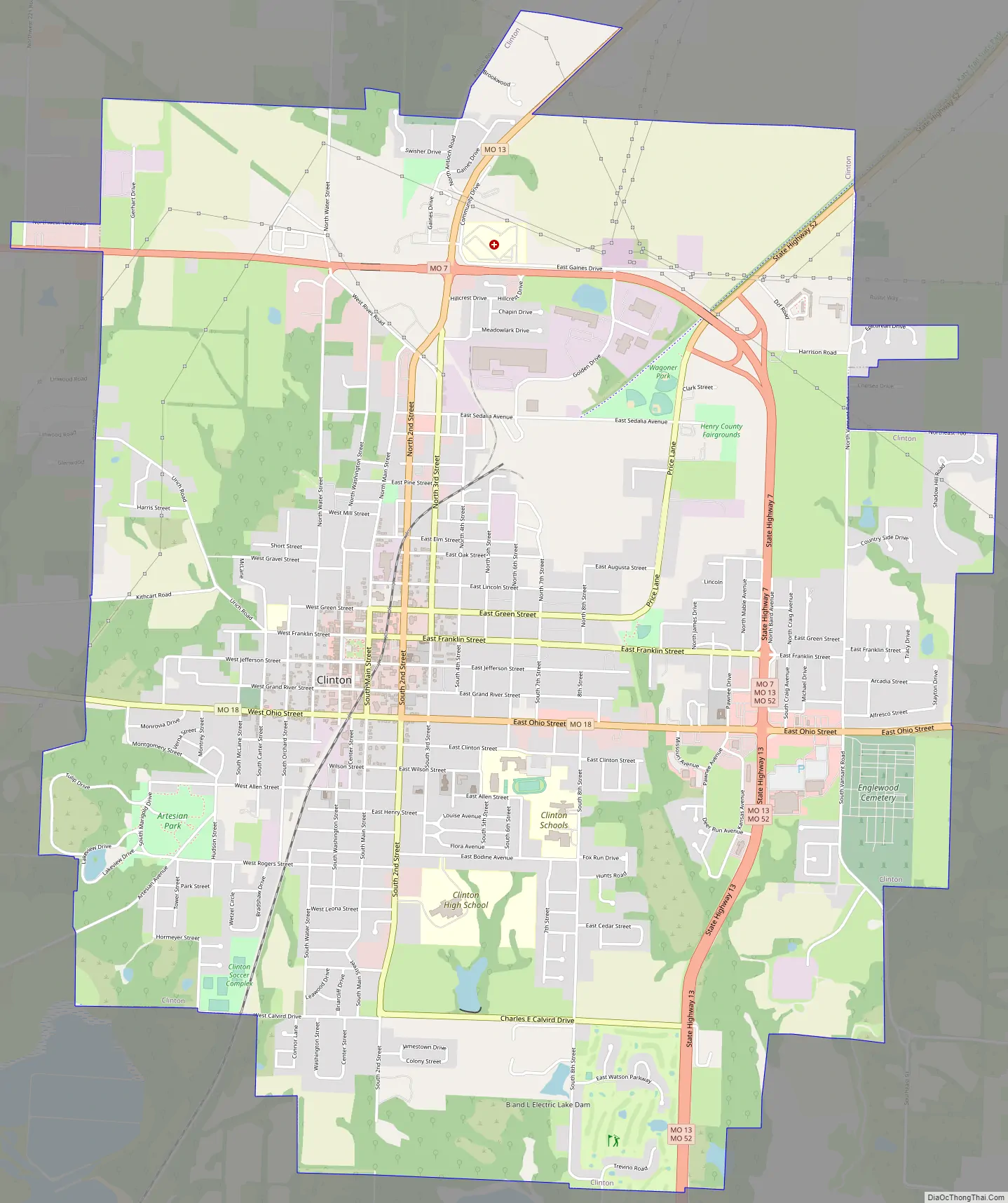
Clinton Road Map
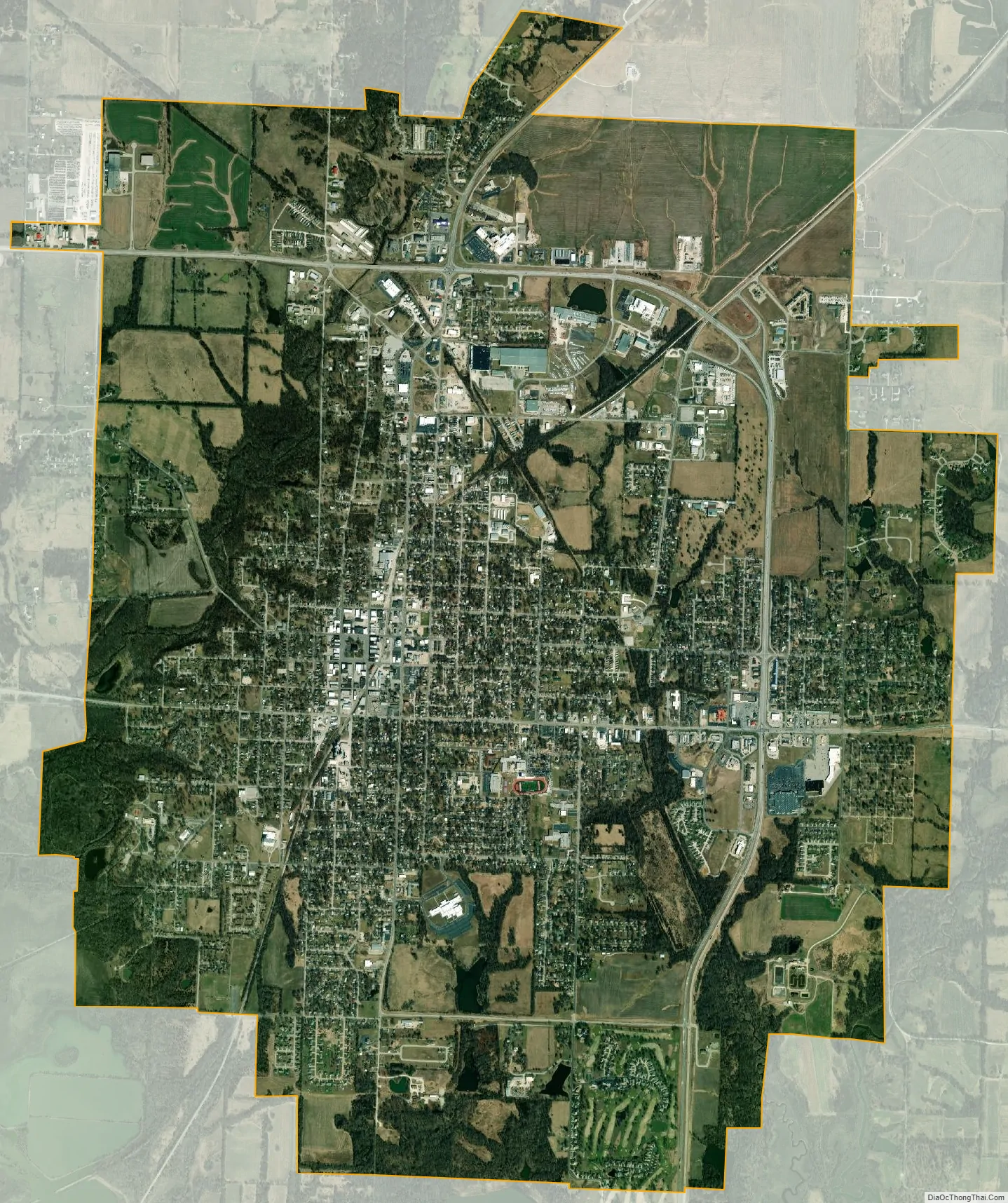
Clinton city Satellite Map
Geography
According to the United States Census Bureau, the city has a total area of 9.26 square miles (23.98 km), of which 9.14 square miles (23.67 km) is land and 0.12 square miles (0.31 km) is water.
The downtown square serves as a center for community commerce and public affairs. Several state highways intersect at Clinton, including Routes 13 and 7, making Clinton a popular stop on the Springfield-Kansas City Route.
Climate
See also
Map of Missouri State and its subdivision:- Adair
- Andrew
- Atchison
- Audrain
- Barry
- Barton
- Bates
- Benton
- Bollinger
- Boone
- Buchanan
- Butler
- Caldwell
- Callaway
- Camden
- Cape Girardeau
- Carroll
- Carter
- Cass
- Cedar
- Chariton
- Christian
- Clark
- Clay
- Clinton
- Cole
- Cooper
- Crawford
- Dade
- Dallas
- Daviess
- De Kalb
- Dent
- Douglas
- Dunklin
- Franklin
- Gasconade
- Gentry
- Greene
- Grundy
- Harrison
- Henry
- Hickory
- Holt
- Howard
- Howell
- Iron
- Jackson
- Jasper
- Jefferson
- Johnson
- Knox
- Laclede
- Lafayette
- Lawrence
- Lewis
- Lincoln
- Linn
- Livingston
- Macon
- Madison
- Maries
- Marion
- McDonald
- Mercer
- Miller
- Mississippi
- Moniteau
- Monroe
- Montgomery
- Morgan
- New Madrid
- Newton
- Nodaway
- Oregon
- Osage
- Ozark
- Pemiscot
- Perry
- Pettis
- Phelps
- Pike
- Platte
- Polk
- Pulaski
- Putnam
- Ralls
- Randolph
- Ray
- Reynolds
- Ripley
- Saint Charles
- Saint Clair
- Saint Francois
- Saint Louis
- Sainte Genevieve
- Saline
- Schuyler
- Scotland
- Scott
- Shannon
- Shelby
- Stoddard
- Stone
- Sullivan
- Taney
- Texas
- Vernon
- Warren
- Washington
- Wayne
- Webster
- Worth
- Wright
- Alabama
- Alaska
- Arizona
- Arkansas
- California
- Colorado
- Connecticut
- Delaware
- District of Columbia
- Florida
- Georgia
- Hawaii
- Idaho
- Illinois
- Indiana
- Iowa
- Kansas
- Kentucky
- Louisiana
- Maine
- Maryland
- Massachusetts
- Michigan
- Minnesota
- Mississippi
- Missouri
- Montana
- Nebraska
- Nevada
- New Hampshire
- New Jersey
- New Mexico
- New York
- North Carolina
- North Dakota
- Ohio
- Oklahoma
- Oregon
- Pennsylvania
- Rhode Island
- South Carolina
- South Dakota
- Tennessee
- Texas
- Utah
- Vermont
- Virginia
- Washington
- West Virginia
- Wisconsin
- Wyoming