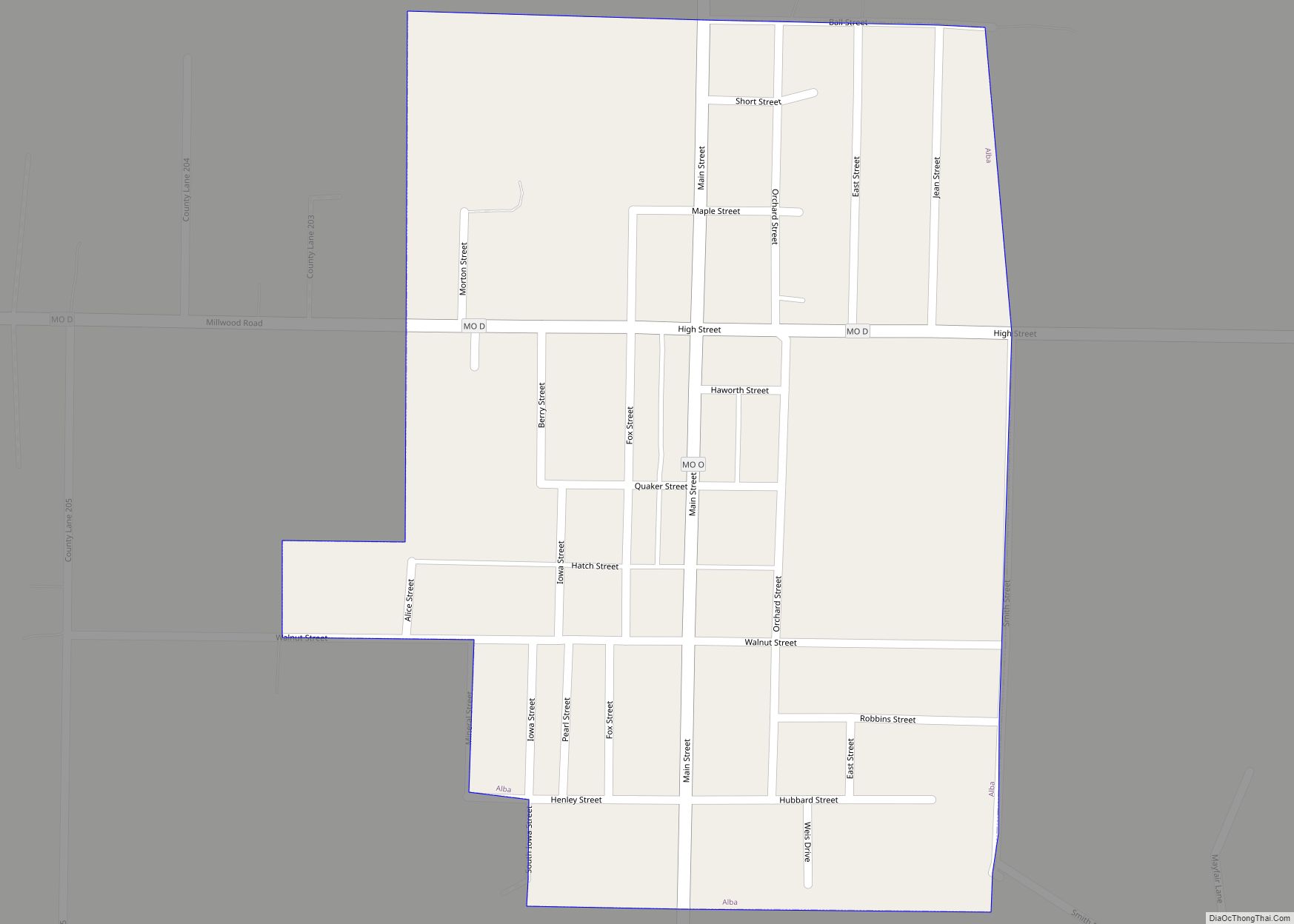
Alba is a city in Jasper County, Missouri, United States. The population was 544 at the 2020 census. Alba city overview: Name: Alba city LSAD Code: 25 LSAD Description: city (suffix) State: Missouri County: Jasper County Incorporated: 1902 Elevation: 994 ft (303 m) Total Area: 0.33 sq mi (0.85 km²) Land Area: 0.33 sq mi (0.85 km²) Water Area: 0.00 sq mi (0.00 km²) Total Population: ... Read more
Missouri Cities and Places
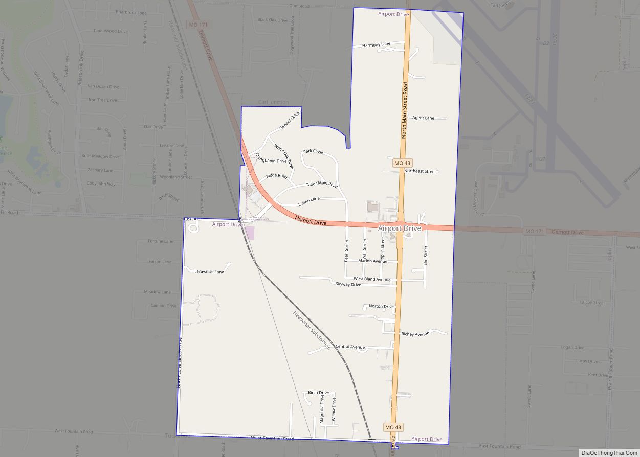
Airport Drive village overview: Name: Airport Drive village LSAD Code: 47 LSAD Description: village (suffix) State: Missouri County: Jasper County FIPS code: 2900424 Online Interactive Map Airport Drive online map. Source: Basemap layers from Google Map, Open Street Map (OSM), Arcgisonline, Wmflabs. Boundary Data from Database of Global Administrative Areas. Airport Drive location map. Where ... Read more
Allendale is a town in eastern Worth County, Missouri, United States. The population was 53 at the 2010 census, at which time it was a town. Allendale village overview: Name: Allendale village LSAD Code: 47 LSAD Description: village (suffix) State: Missouri County: Worth County Incorporated: 1928 Elevation: 1,063 ft (324 m) Total Area: 0.57 sq mi (1.47 km²) Land Area: ... Read more
Alexandria is a city in eastern Clark County, Missouri, United States. As of the 2020 census, its population was 105. Alexandria is part of the Fort Madison–Keokuk, IA-MO Micropolitan Statistical Area. Alexandria city overview: Name: Alexandria city LSAD Code: 25 LSAD Description: city (suffix) State: Missouri County: Clark County Incorporated: 1948 Elevation: 489 ft (149 m) Total ... Read more
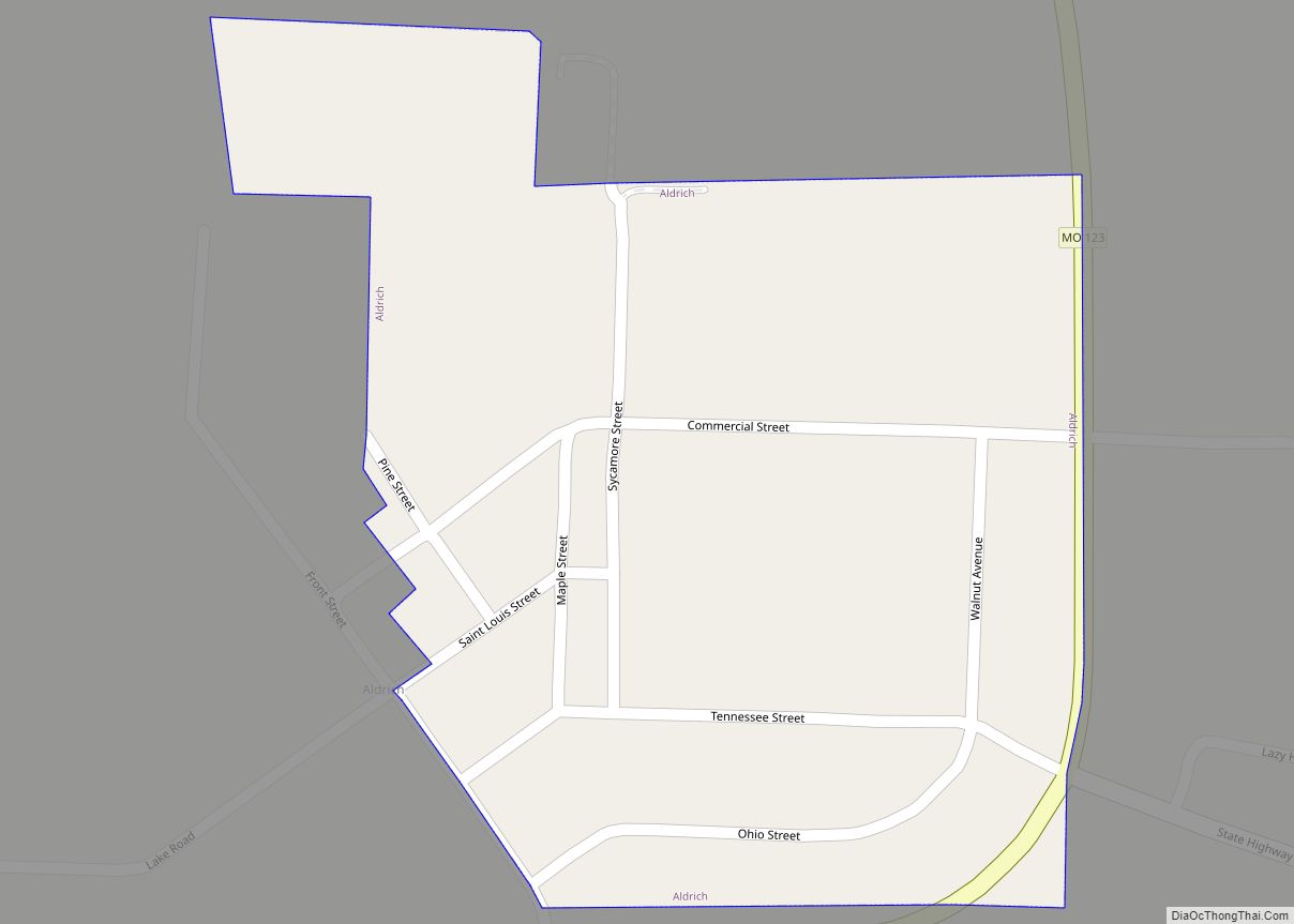
Aldrich is a village in southwestern Polk County, Missouri, United States. The population was 80 at the 2010 census. It is part of the Springfield, Missouri Metropolitan Statistical Area. Aldrich village overview: Name: Aldrich village LSAD Code: 47 LSAD Description: village (suffix) State: Missouri County: Polk County Incorporated: 1889 Elevation: 984 ft (300 m) Total Area: 0.16 sq mi ... Read more
Altamont is a village in southwest Daviess County, Missouri, United States. The population was 171 at the 2020 census. Altamont village overview: Name: Altamont village LSAD Code: 47 LSAD Description: village (suffix) State: Missouri County: Daviess County Founded: 1890 Incorporated: 1896 Elevation: 1,017 ft (310 m) Total Area: 0.26 sq mi (0.67 km²) Land Area: 0.26 sq mi (0.66 km²) Water Area: 0.00 sq mi ... Read more
Alma is a city in Lafayette County, Missouri, and is part of the Kansas City metropolitan area within the United States. The population was 402 at the 2010 census. Alma city overview: Name: Alma city LSAD Code: 25 LSAD Description: city (suffix) State: Missouri County: Lafayette County Incorporated: 1878 Elevation: 801 ft (244 m) Total Area: 0.28 sq mi ... Read more
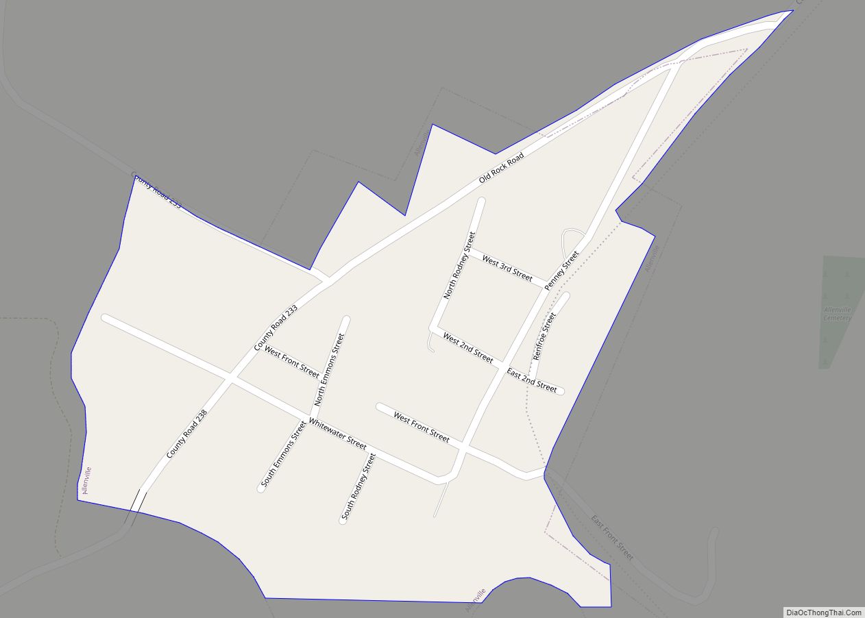
Allenville is a village in Hubble Township in Cape Girardeau County, Missouri, United States. The population was 95 at the 2020 census. It is part of the Cape Girardeau–Jackson, MO-IL Metropolitan Statistical Area. Allenville village overview: Name: Allenville village LSAD Code: 47 LSAD Description: village (suffix) State: Missouri County: Cape Girardeau County Elevation: 348 ft (106 m) ... Read more
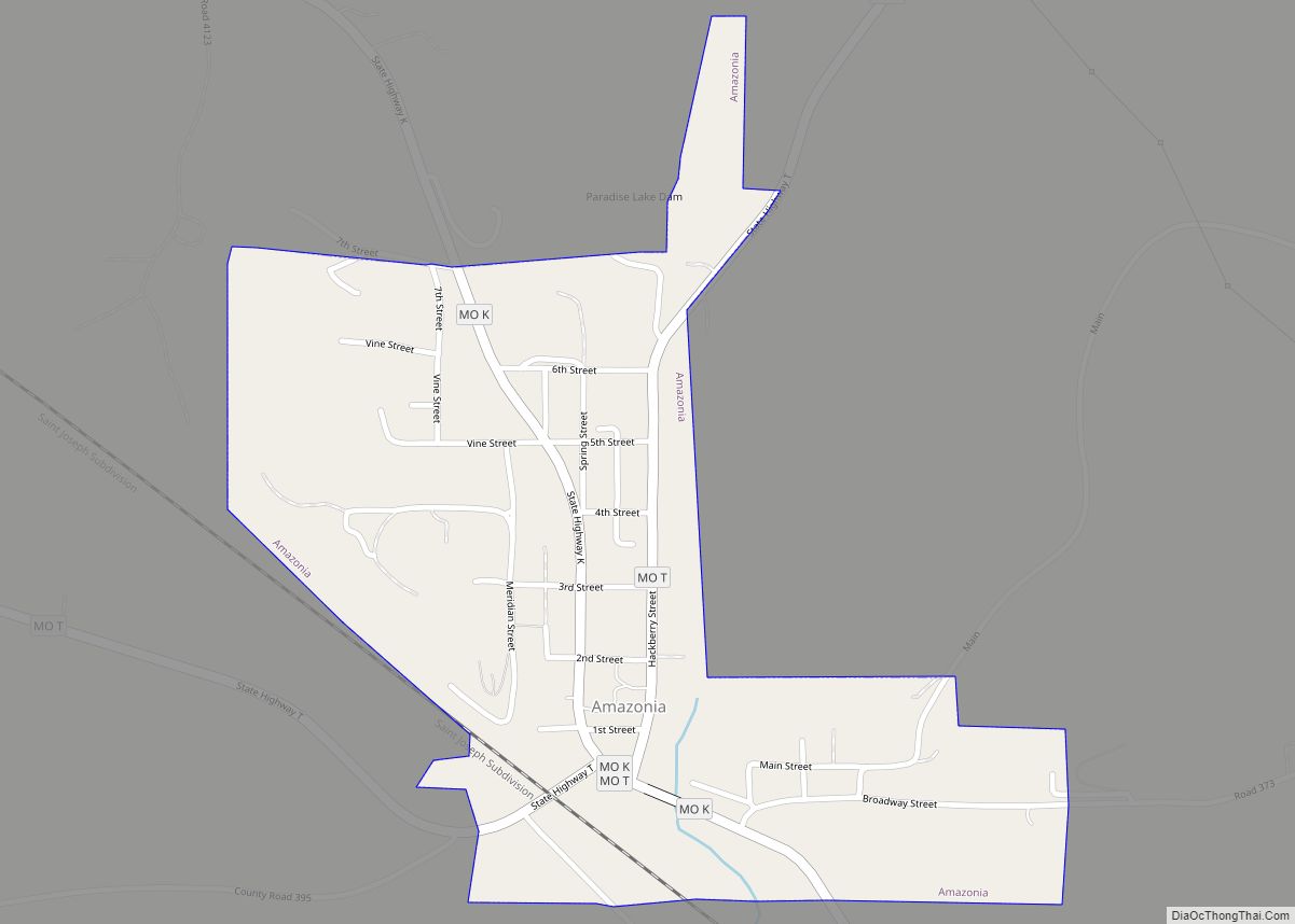
Amazonia is a village in Lincoln Township, Andrew County, Missouri, United States. The population was 312 at the 2010 census. It is part of the St. Joseph, MO–KS Metropolitan Statistical Area. Amazonia village overview: Name: Amazonia village LSAD Code: 47 LSAD Description: village (suffix) State: Missouri County: Andrew County Elevation: 863 ft (263 m) Total Area: 0.37 sq mi ... Read more
Alton is a city and the county seat of Oregon County, Missouri, United States. The population was 707 at the 2020 census. Alton city overview: Name: Alton city LSAD Code: 25 LSAD Description: city (suffix) State: Missouri County: Oregon County Incorporated: 1929 Elevation: 748 ft (228 m) Total Area: 1.58 sq mi (4.10 km²) Land Area: 1.57 sq mi (4.06 km²) Water Area: ... Read more
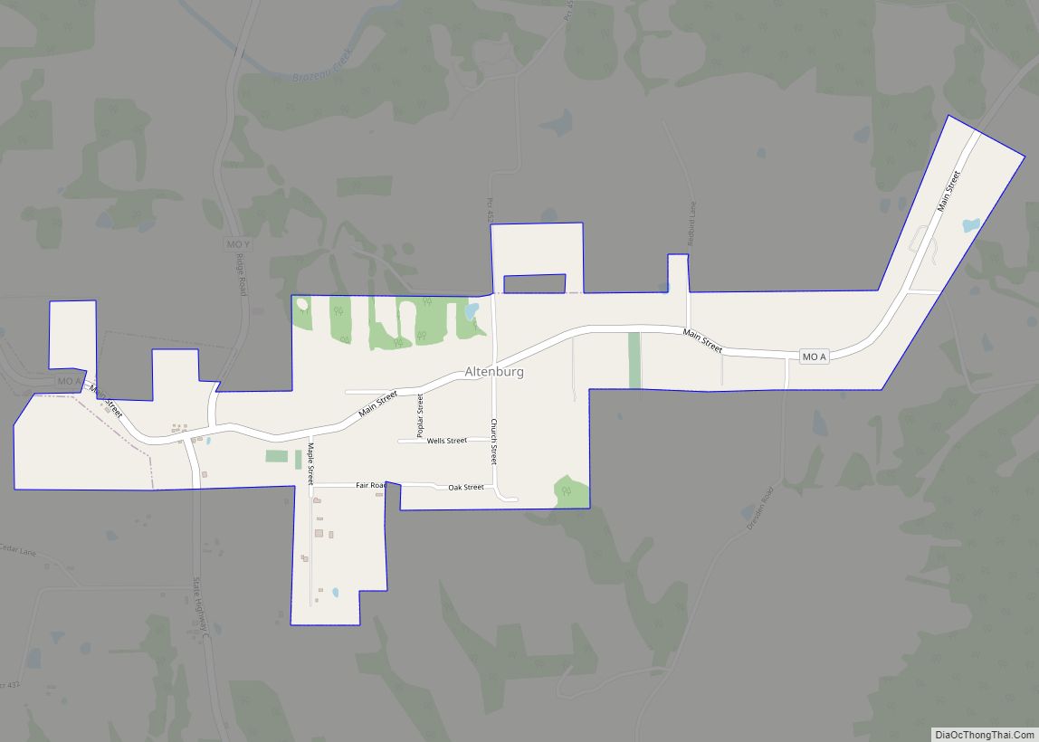
Altenburg is a city in Perry County, Missouri, United States. The population was 341 at the 2020 census. Altenburg city overview: Name: Altenburg city LSAD Code: 25 LSAD Description: city (suffix) State: Missouri County: Perry County Incorporated: 1870 Elevation: 584 ft (178 m) Total Area: 1.05 sq mi (2.72 km²) Land Area: 1.05 sq mi (2.72 km²) Water Area: 0.00 sq mi (0.00 km²) Total Population: ... Read more
Amoret is a city in western Bates County, Missouri, and is part of the Kansas City metropolitan area within the United States. The population was 133 at the 2020 census. Amoret city overview: Name: Amoret city LSAD Code: 25 LSAD Description: city (suffix) State: Missouri County: Bates County Elevation: 846 ft (258 m) Total Area: 0.21 sq mi (0.55 km²) ... Read more
