Alexandria is a city in eastern Clark County, Missouri, United States. As of the 2020 census, its population was 105.
Alexandria is part of the Fort Madison–Keokuk, IA-MO Micropolitan Statistical Area.
| Name: | Alexandria city |
|---|---|
| LSAD Code: | 25 |
| LSAD Description: | city (suffix) |
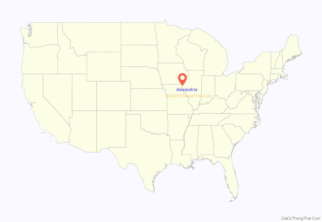
| State: | Missouri |
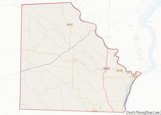
| County: | Clark County |
| Incorporated: | 1948 |
| Elevation: | 489 ft (149 m) |
| Total Area: | 0.39 sq mi (1.01 km²) |
| Land Area: | 0.38 sq mi (0.98 km²) |
| Water Area: | 0.01 sq mi (0.04 km²) |
| Total Population: | 105 |
| Population Density: | 278.51/sq mi (107.63/km²) |
| ZIP code: | 63430 |
| Area code: | 660 |
| FIPS code: | 2900604 |
| GNISfeature ID: | 2393919 |
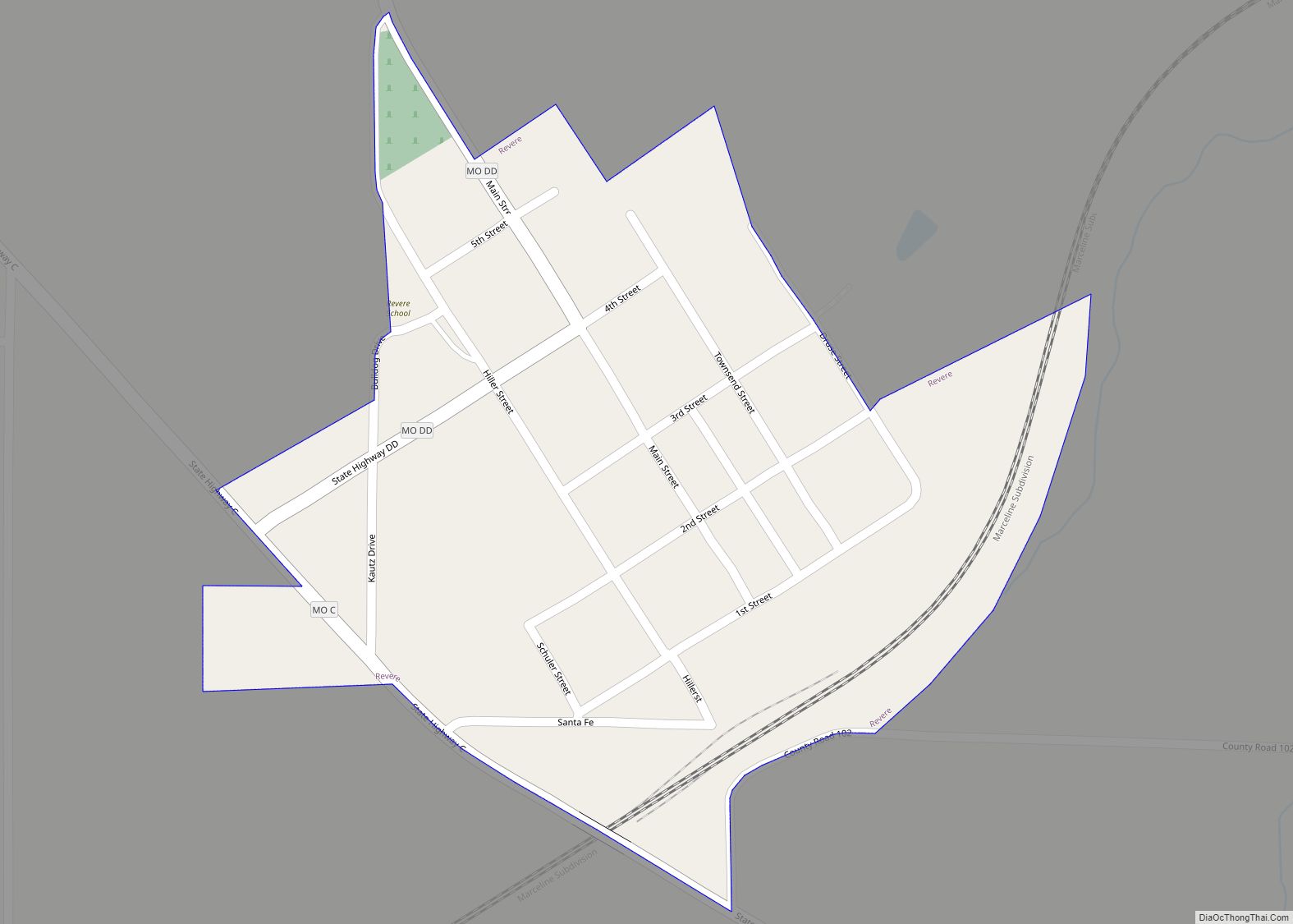
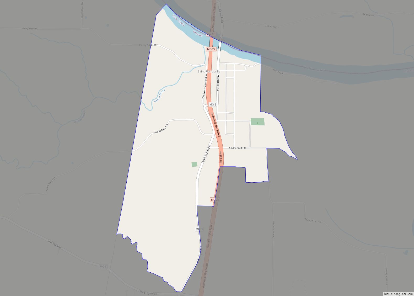
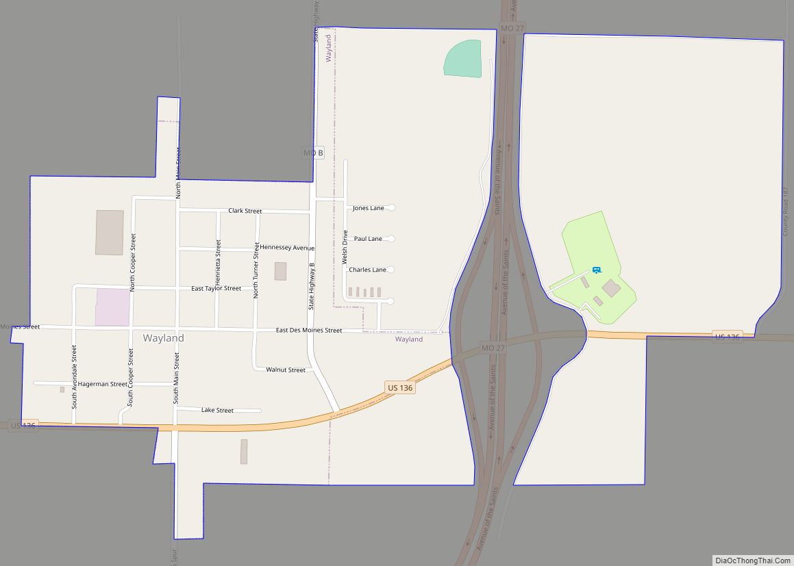
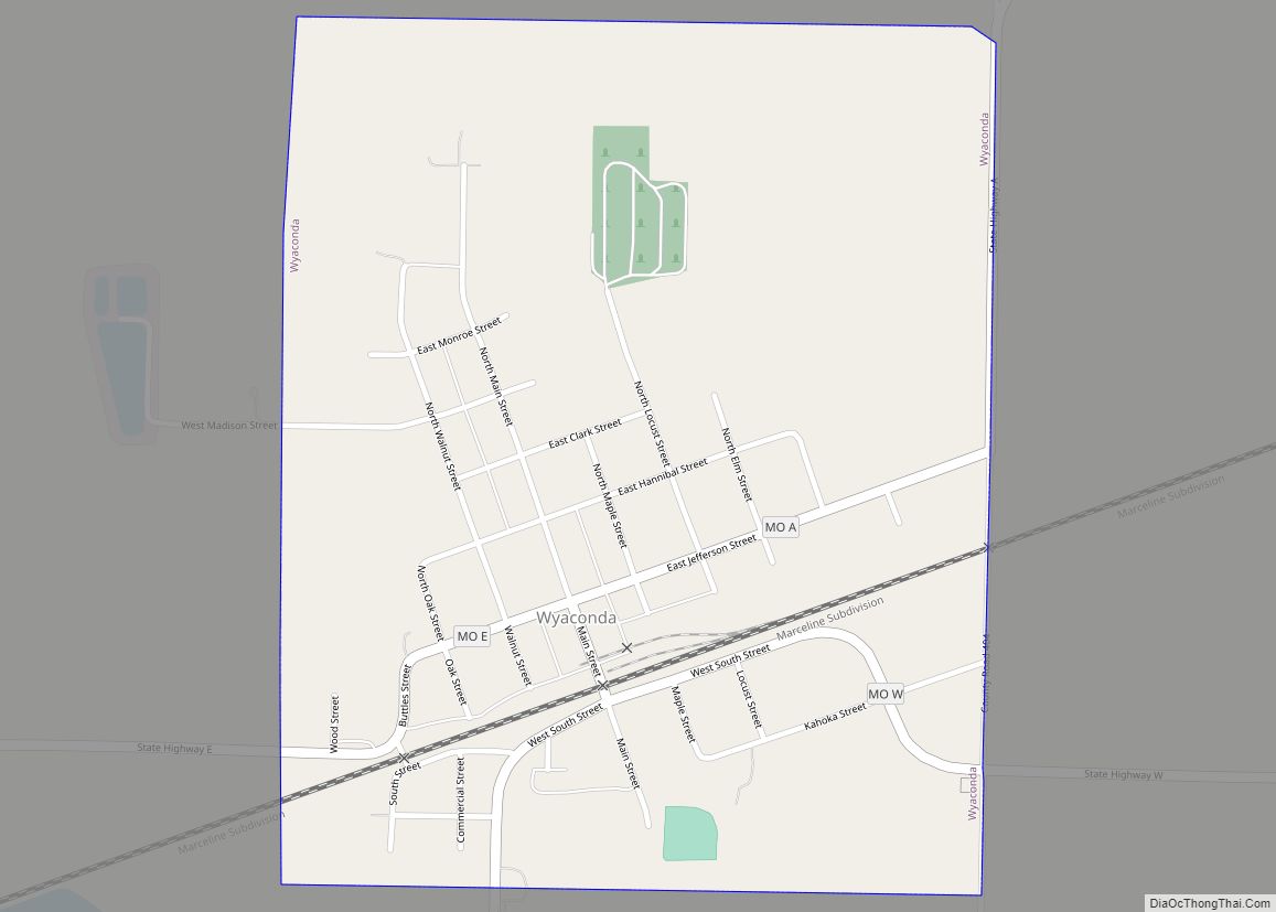
Online Interactive Map
Click on ![]() to view map in "full screen" mode.
to view map in "full screen" mode.
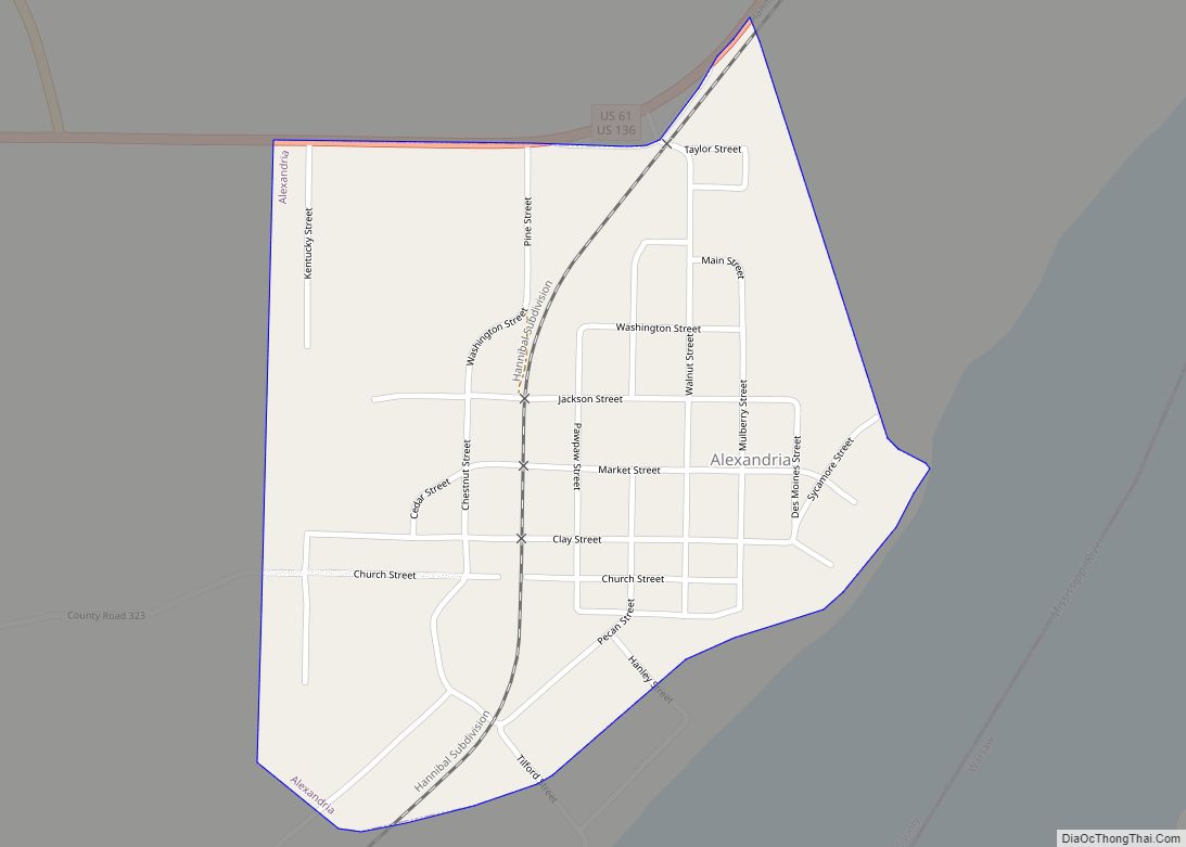
Alexandria location map. Where is Alexandria city?

History
Alexandria was founded in the 1830s. The community was named after John Alexander, the proprietor of a nearby ferry. A post office called Alexandria has been in operation since 1840.
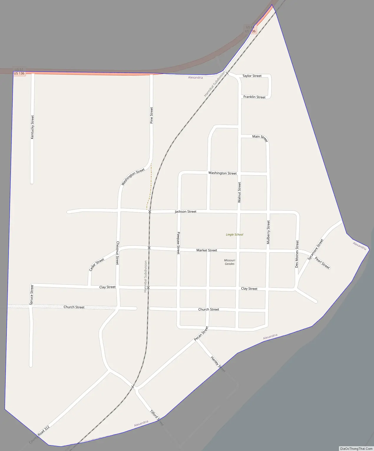
Alexandria Road Map
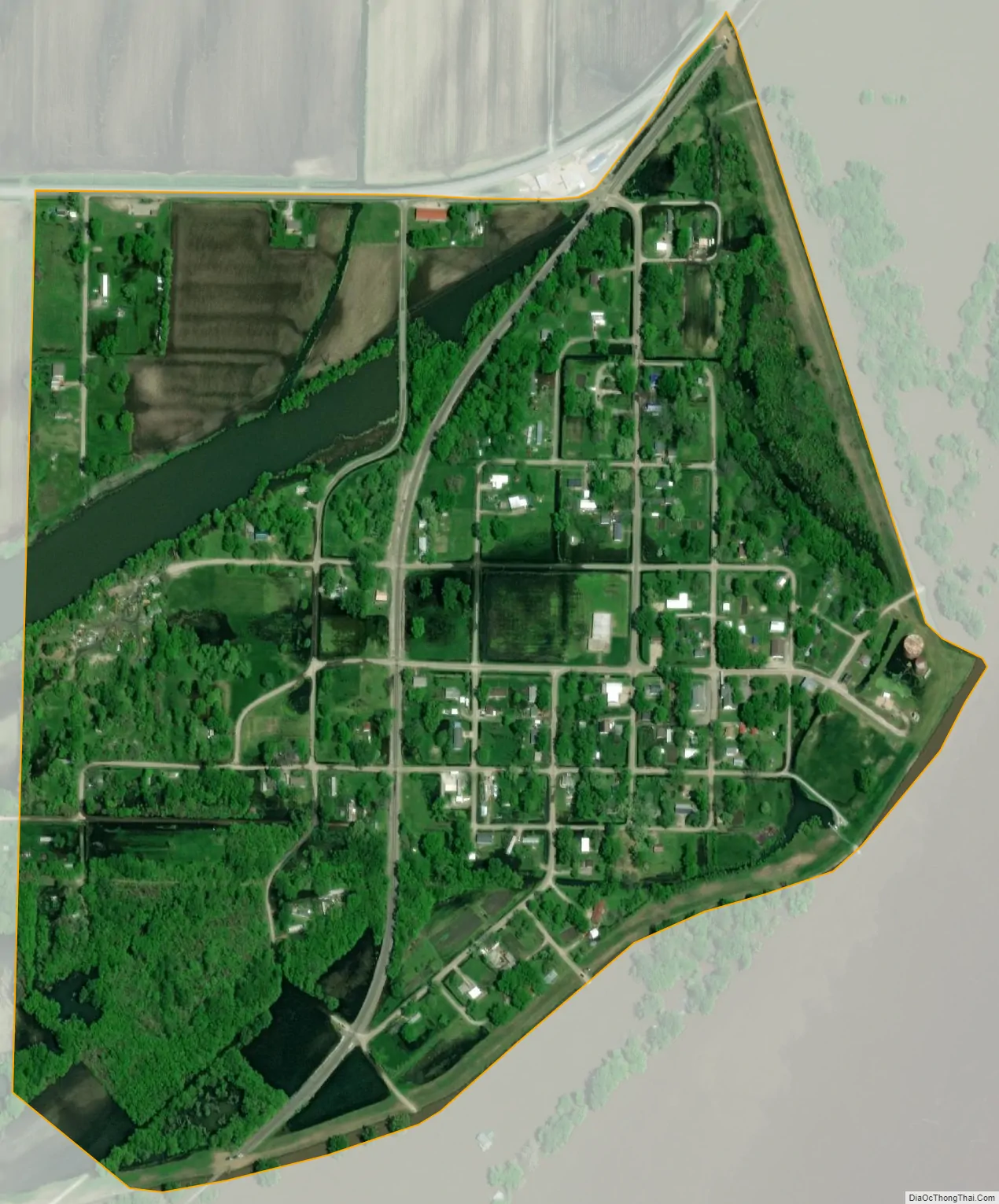
Alexandria city Satellite Map
Geography
Alexandria is located in northeast Clark County adjacent to the Mississippi River. The city is on combined US routes 61 and 136. Wayland is approximately seven miles to the west on Route 136 and Keokuk, Iowa is five miles to the northeast on Route 136. Warsaw, Illinois lies across the Mississippi about 1.5 miles to the east.
According to the United States Census Bureau, the city has a total area of 0.39 square miles (1.01 km), of which 0.38 square miles (0.98 km) is land and 0.01 square miles (0.03 km) is water.
Located along the Mississippi River, Alexandria is prone to flooding, with large swaths of the area submerged during the Great Flood of 1993.
See also
Map of Missouri State and its subdivision:- Adair
- Andrew
- Atchison
- Audrain
- Barry
- Barton
- Bates
- Benton
- Bollinger
- Boone
- Buchanan
- Butler
- Caldwell
- Callaway
- Camden
- Cape Girardeau
- Carroll
- Carter
- Cass
- Cedar
- Chariton
- Christian
- Clark
- Clay
- Clinton
- Cole
- Cooper
- Crawford
- Dade
- Dallas
- Daviess
- De Kalb
- Dent
- Douglas
- Dunklin
- Franklin
- Gasconade
- Gentry
- Greene
- Grundy
- Harrison
- Henry
- Hickory
- Holt
- Howard
- Howell
- Iron
- Jackson
- Jasper
- Jefferson
- Johnson
- Knox
- Laclede
- Lafayette
- Lawrence
- Lewis
- Lincoln
- Linn
- Livingston
- Macon
- Madison
- Maries
- Marion
- McDonald
- Mercer
- Miller
- Mississippi
- Moniteau
- Monroe
- Montgomery
- Morgan
- New Madrid
- Newton
- Nodaway
- Oregon
- Osage
- Ozark
- Pemiscot
- Perry
- Pettis
- Phelps
- Pike
- Platte
- Polk
- Pulaski
- Putnam
- Ralls
- Randolph
- Ray
- Reynolds
- Ripley
- Saint Charles
- Saint Clair
- Saint Francois
- Saint Louis
- Sainte Genevieve
- Saline
- Schuyler
- Scotland
- Scott
- Shannon
- Shelby
- Stoddard
- Stone
- Sullivan
- Taney
- Texas
- Vernon
- Warren
- Washington
- Wayne
- Webster
- Worth
- Wright
- Alabama
- Alaska
- Arizona
- Arkansas
- California
- Colorado
- Connecticut
- Delaware
- District of Columbia
- Florida
- Georgia
- Hawaii
- Idaho
- Illinois
- Indiana
- Iowa
- Kansas
- Kentucky
- Louisiana
- Maine
- Maryland
- Massachusetts
- Michigan
- Minnesota
- Mississippi
- Missouri
- Montana
- Nebraska
- Nevada
- New Hampshire
- New Jersey
- New Mexico
- New York
- North Carolina
- North Dakota
- Ohio
- Oklahoma
- Oregon
- Pennsylvania
- Rhode Island
- South Carolina
- South Dakota
- Tennessee
- Texas
- Utah
- Vermont
- Virginia
- Washington
- West Virginia
- Wisconsin
- Wyoming