Altenburg is a city in Perry County, Missouri, United States. The population was 341 at the 2020 census.
| Name: | Altenburg city |
|---|---|
| LSAD Code: | 25 |
| LSAD Description: | city (suffix) |
| State: | Missouri |
| County: | Perry County |
| Incorporated: | 1870 |
| Elevation: | 584 ft (178 m) |
| Total Area: | 1.05 sq mi (2.72 km²) |
| Land Area: | 1.05 sq mi (2.72 km²) |
| Water Area: | 0.00 sq mi (0.00 km²) |
| Total Population: | 341 |
| Population Density: | 324.76/sq mi (125.41/km²) |
| ZIP code: | 63732 |
| Area code: | 573 |
| FIPS code: | 2900928 |
| GNISfeature ID: | 2393934 |
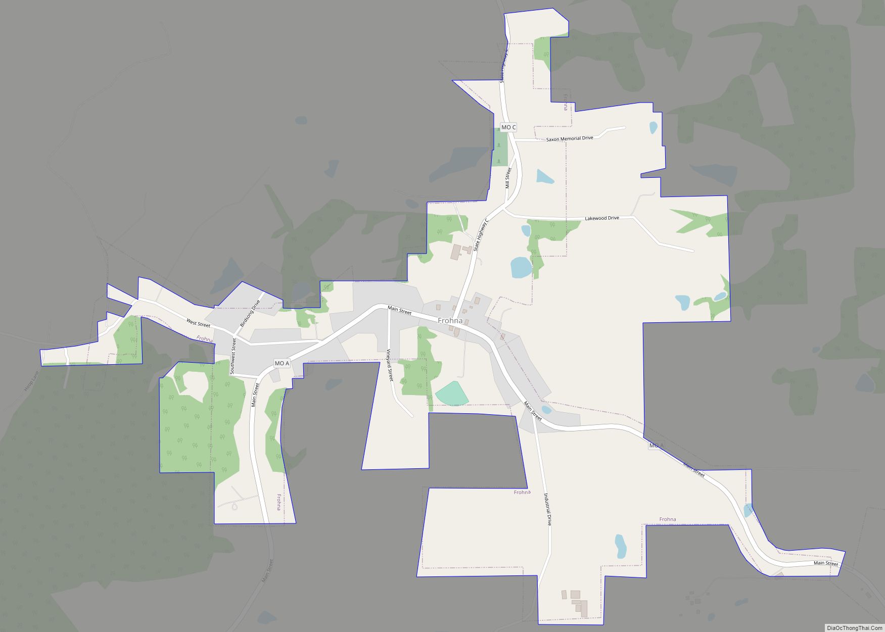
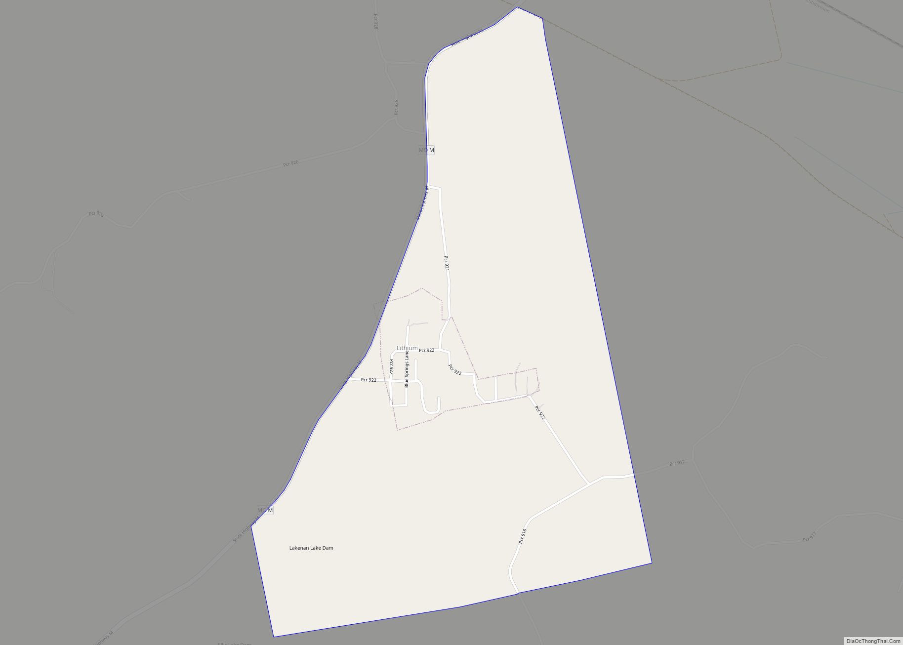
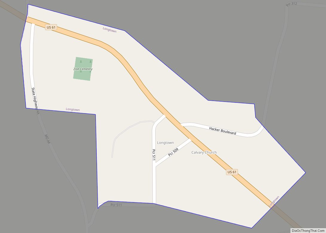
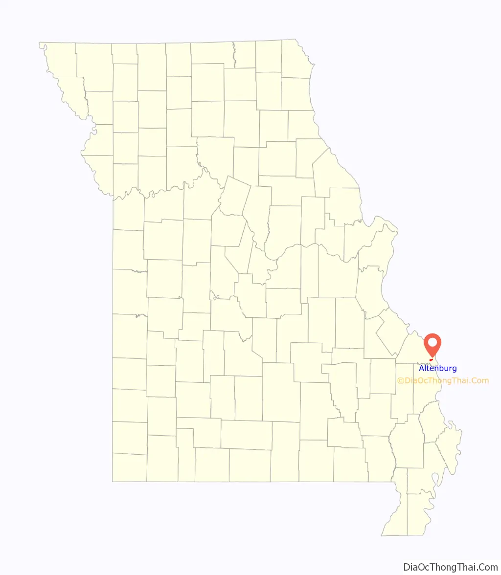
Online Interactive Map
Click on ![]() to view map in "full screen" mode.
to view map in "full screen" mode.
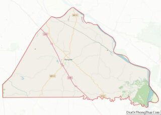
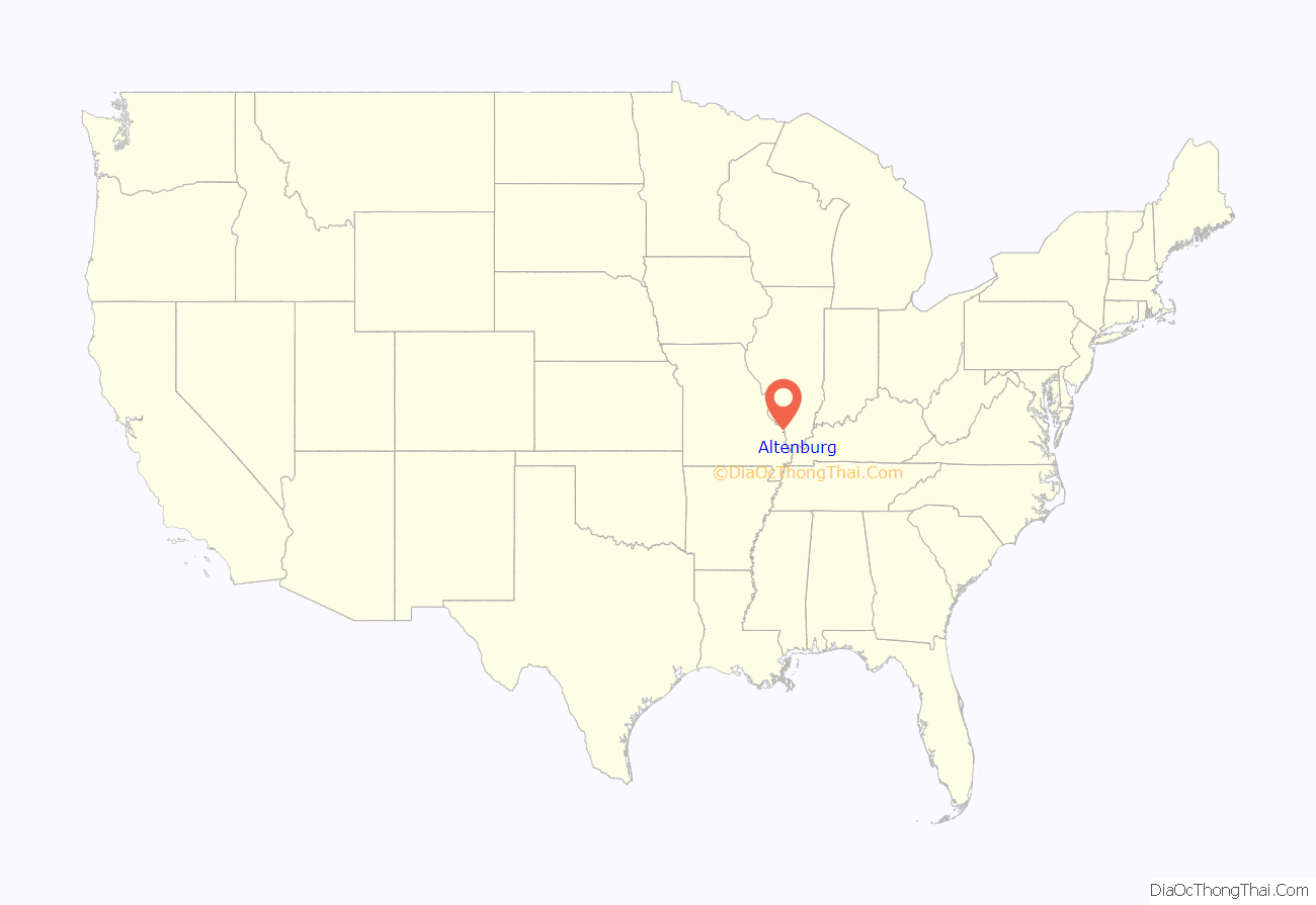
Altenburg location map. Where is Altenburg city?
History
Altenburg (German for “Old Castle”) was laid out and platted in 1839 by a colony of Lutherans. It was named after the Duchy of Saxe-Altenburg from where many of its settlers came, and not the city of Altenburg which does not seem to have sent a single colonist.
Altenburg is one of seven towns and villages in the area founded by German Lutheran immigrants in 1839. Altenburg and the other communities—Dresden, Frohna, Johannisberg, Paitzdorf, Seelitz, and Wittenberg—were all named by settlers for towns in the Saxony region of their native country. These settlers would form the backbone of what would later become the Lutheran Church–Missouri Synod. Trinity Lutheran Church was established in 1839 in a log cabin, and was later replaced by a limestone, and then a frame church. Soon after arriving, the immigrants constructed a school in Altenburg. Made of native timber, this “Log Cabin College” introduced the new idea of a co-educational school, a rarity at the time. Today, Altenburg is home to the Lutheran Heritage Center and Museum, established in 1985. Tourists can explore several mid-19th century buildings that remain in the community as well as the Heritage Center’s exhibition hall as well as the reading room and research library.
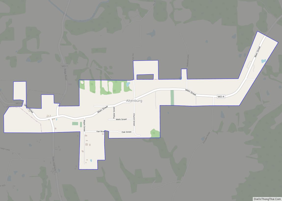
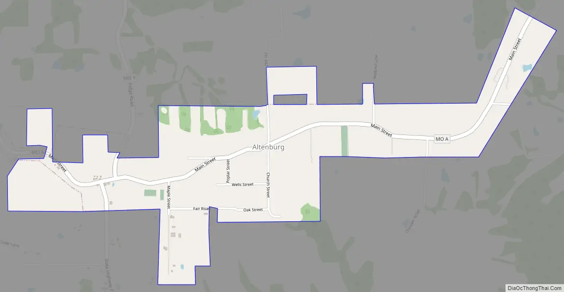
Altenburg Road Map
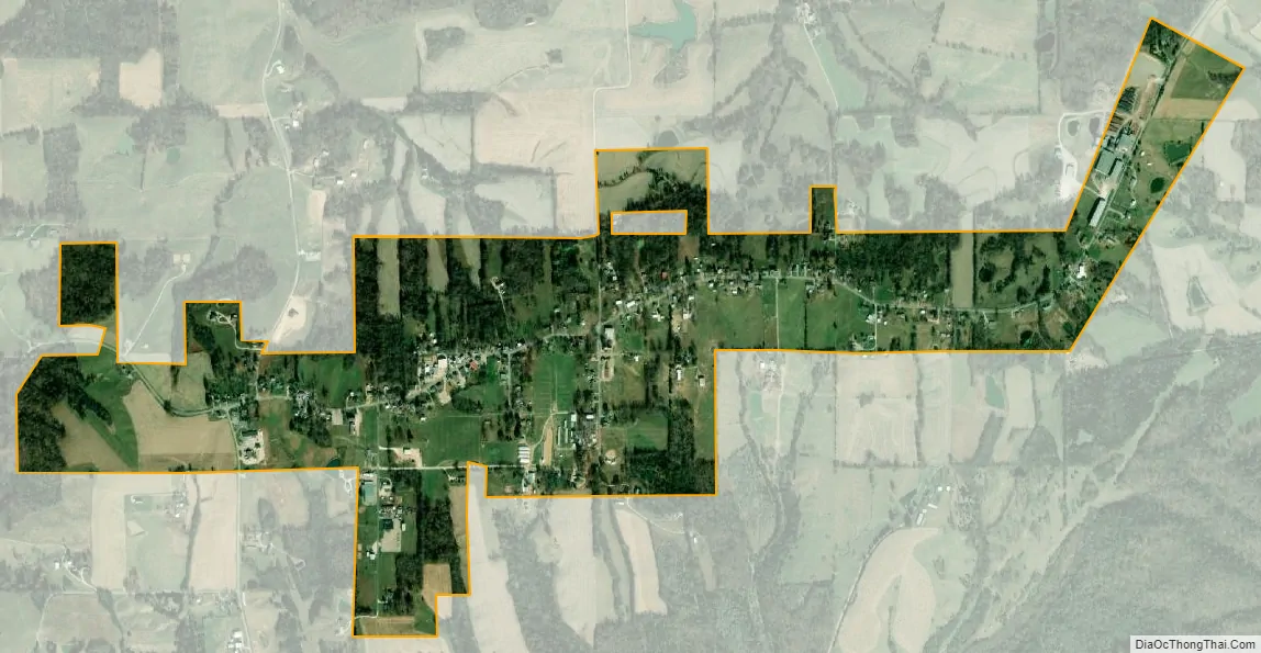
Altenburg city Satellite Map
Geography
Altenburg is located at 37°37′53″N 89°34′53″W / 37.63139°N 89.58139°W / 37.63139; -89.58139 (37.631301, -89.581513).
According to the United States Census Bureau, the city has a total area of 1.05 square miles (2.72 km), all land.
See also
Map of Missouri State and its subdivision:- Adair
- Andrew
- Atchison
- Audrain
- Barry
- Barton
- Bates
- Benton
- Bollinger
- Boone
- Buchanan
- Butler
- Caldwell
- Callaway
- Camden
- Cape Girardeau
- Carroll
- Carter
- Cass
- Cedar
- Chariton
- Christian
- Clark
- Clay
- Clinton
- Cole
- Cooper
- Crawford
- Dade
- Dallas
- Daviess
- De Kalb
- Dent
- Douglas
- Dunklin
- Franklin
- Gasconade
- Gentry
- Greene
- Grundy
- Harrison
- Henry
- Hickory
- Holt
- Howard
- Howell
- Iron
- Jackson
- Jasper
- Jefferson
- Johnson
- Knox
- Laclede
- Lafayette
- Lawrence
- Lewis
- Lincoln
- Linn
- Livingston
- Macon
- Madison
- Maries
- Marion
- McDonald
- Mercer
- Miller
- Mississippi
- Moniteau
- Monroe
- Montgomery
- Morgan
- New Madrid
- Newton
- Nodaway
- Oregon
- Osage
- Ozark
- Pemiscot
- Perry
- Pettis
- Phelps
- Pike
- Platte
- Polk
- Pulaski
- Putnam
- Ralls
- Randolph
- Ray
- Reynolds
- Ripley
- Saint Charles
- Saint Clair
- Saint Francois
- Saint Louis
- Sainte Genevieve
- Saline
- Schuyler
- Scotland
- Scott
- Shannon
- Shelby
- Stoddard
- Stone
- Sullivan
- Taney
- Texas
- Vernon
- Warren
- Washington
- Wayne
- Webster
- Worth
- Wright
- Alabama
- Alaska
- Arizona
- Arkansas
- California
- Colorado
- Connecticut
- Delaware
- District of Columbia
- Florida
- Georgia
- Hawaii
- Idaho
- Illinois
- Indiana
- Iowa
- Kansas
- Kentucky
- Louisiana
- Maine
- Maryland
- Massachusetts
- Michigan
- Minnesota
- Mississippi
- Missouri
- Montana
- Nebraska
- Nevada
- New Hampshire
- New Jersey
- New Mexico
- New York
- North Carolina
- North Dakota
- Ohio
- Oklahoma
- Oregon
- Pennsylvania
- Rhode Island
- South Carolina
- South Dakota
- Tennessee
- Texas
- Utah
- Vermont
- Virginia
- Washington
- West Virginia
- Wisconsin
- Wyoming