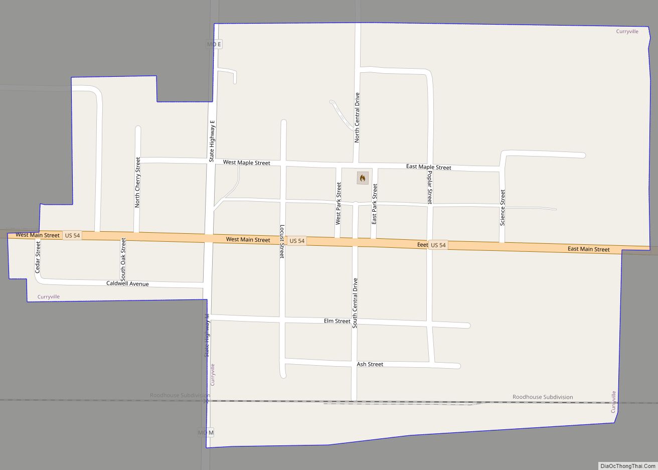
Curryville is a city in western Pike County, Missouri, United States. The population was 225 at the 2010 census. Curryville city overview: Name: Curryville city LSAD Code: 25 LSAD Description: city (suffix) State: Missouri County: Pike County Elevation: 827 ft (252 m) Total Area: 0.28 sq mi (0.71 km²) Land Area: 0.27 sq mi (0.71 km²) Water Area: 0.00 sq mi (0.00 km²) Total Population: 197 ... Read more
Missouri Cities and Places
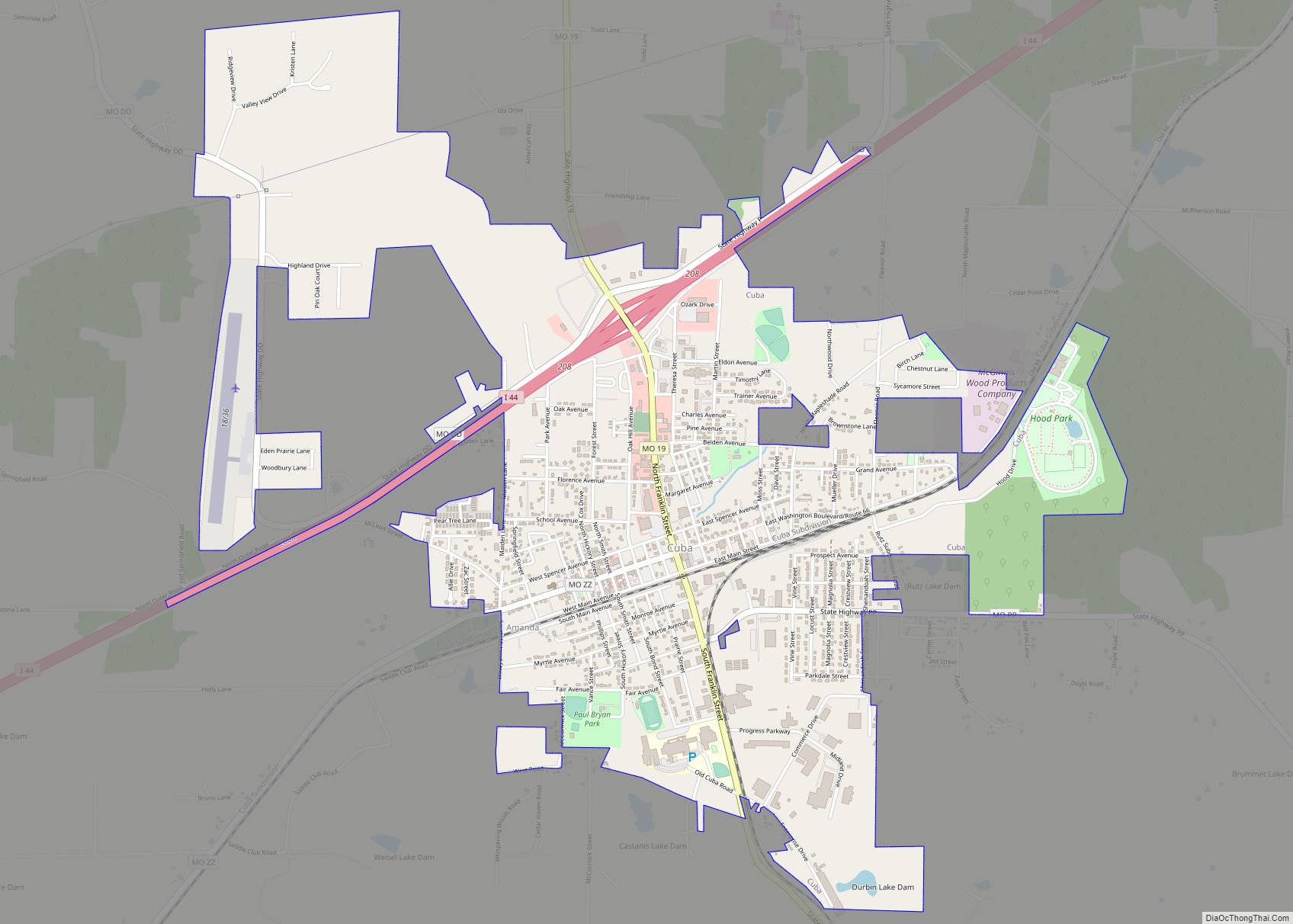
Cuba is a city in Crawford County, Missouri, United States. The population was 3,356 at the 2010 census. Cuba is the largest city situated entirely in Crawford County. Cuba city overview: Name: Cuba city LSAD Code: 25 LSAD Description: city (suffix) State: Missouri County: Crawford County Founded: 1857 Elevation: 1,017 ft (310 m) Total Area: 3.19 sq mi (8.27 km²) ... Read more
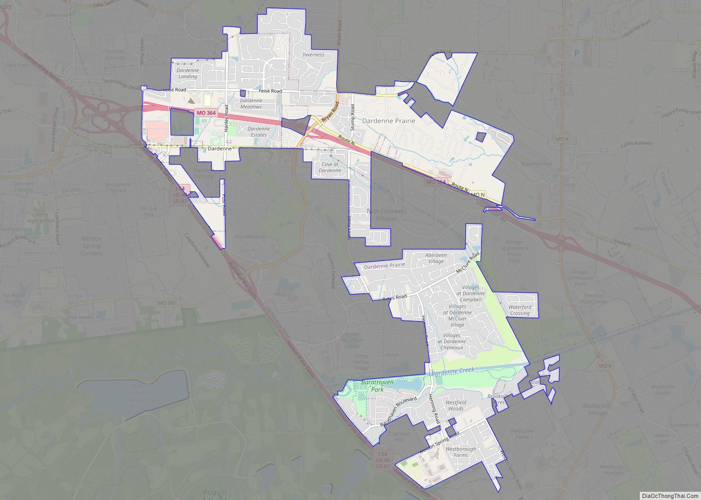
Dardenne Prairie is a city in St. Charles County, Missouri, United States. The population was 11,494 at the 2010 census. Dardenne Prairie city overview: Name: Dardenne Prairie city LSAD Code: 25 LSAD Description: city (suffix) State: Missouri County: St. Charles County Incorporated: 1983 (town), 2001 (city) Elevation: 614 ft (187 m) Total Area: 5.32 sq mi (13.78 km²) Land Area: ... Read more
Danville is an unincorporated, small, rural village in Montgomery County, in the U.S. state of Missouri. It is located just off Interstate 70 at a marked turnoff. There is a combined gas station-food store-lunch counter-florist shop just off the interstate, an automotive repair shop in the village, and a quarry operation just outside it; and ... Read more
Dalton is a village in Chariton County, Missouri, United States. The population was 7 at the 2020 census. Dalton town overview: Name: Dalton town LSAD Code: 43 LSAD Description: town (suffix) State: Missouri County: Chariton County Elevation: 686 ft (209 m) Total Area: 0.18 sq mi (0.47 km²) Land Area: 0.18 sq mi (0.47 km²) Water Area: 0.00 sq mi (0.00 km²) Total Population: 7 Population ... Read more
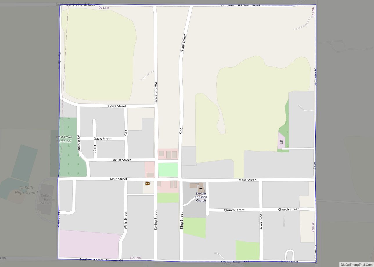
De Kalb is a city in southwest Buchanan County, Missouri, United States. The population was 233 at the 2020 census. It is part of the St. Joseph, MO–KS Metropolitan Statistical Area. De Kalb town overview: Name: De Kalb town LSAD Code: 43 LSAD Description: town (suffix) State: Missouri County: Buchanan County Elevation: 1,129 ft (344 m) Total ... Read more
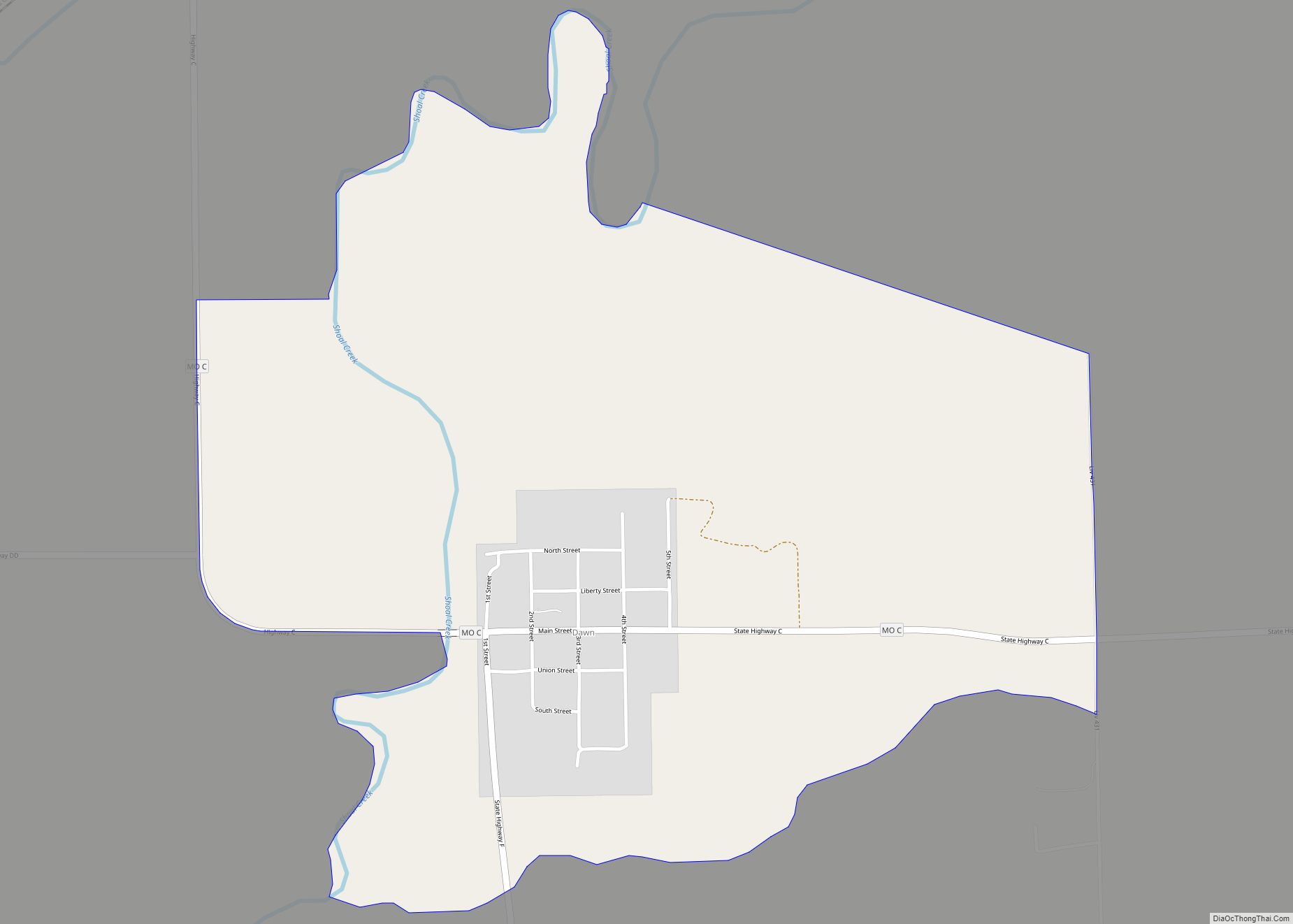
Dawn is an unincorporated community and census-designated place (CDP) in Livingston County, Missouri, United States. As of the 2020 census it had a population of 100. Dawn was platted in 1853. A post office called Dawn has been in operation since 1852. Dawn CDP overview: Name: Dawn CDP LSAD Code: 57 LSAD Description: CDP (suffix) ... Read more
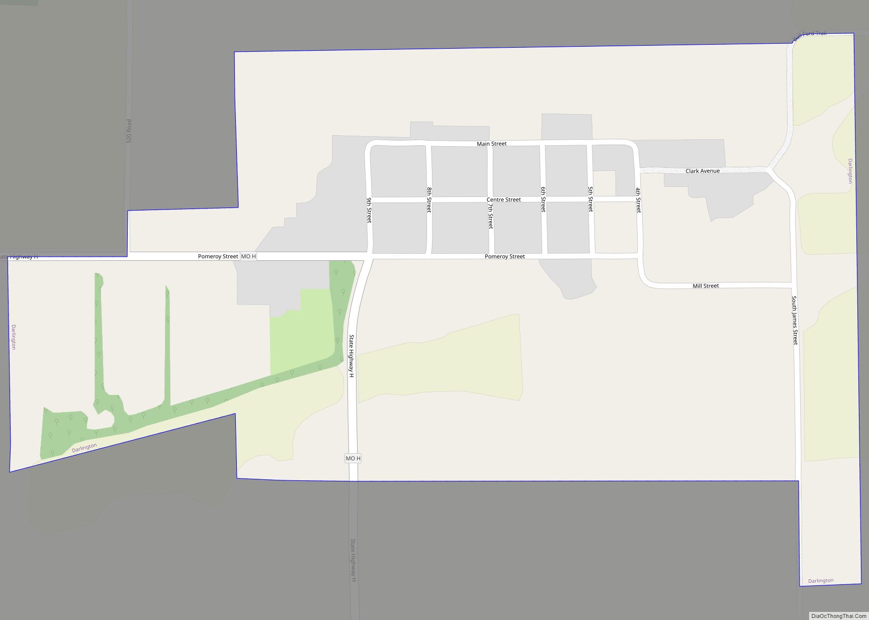
Darlington is a village in central Gentry County, Missouri, United States. The population was 66 at the 2020 census. Darlington village overview: Name: Darlington village LSAD Code: 47 LSAD Description: village (suffix) State: Missouri County: Gentry County Elevation: 846 ft (258 m) Total Area: 0.41 sq mi (1.07 km²) Land Area: 0.41 sq mi (1.07 km²) Water Area: 0.00 sq mi (0.00 km²) Total Population: 66 ... Read more
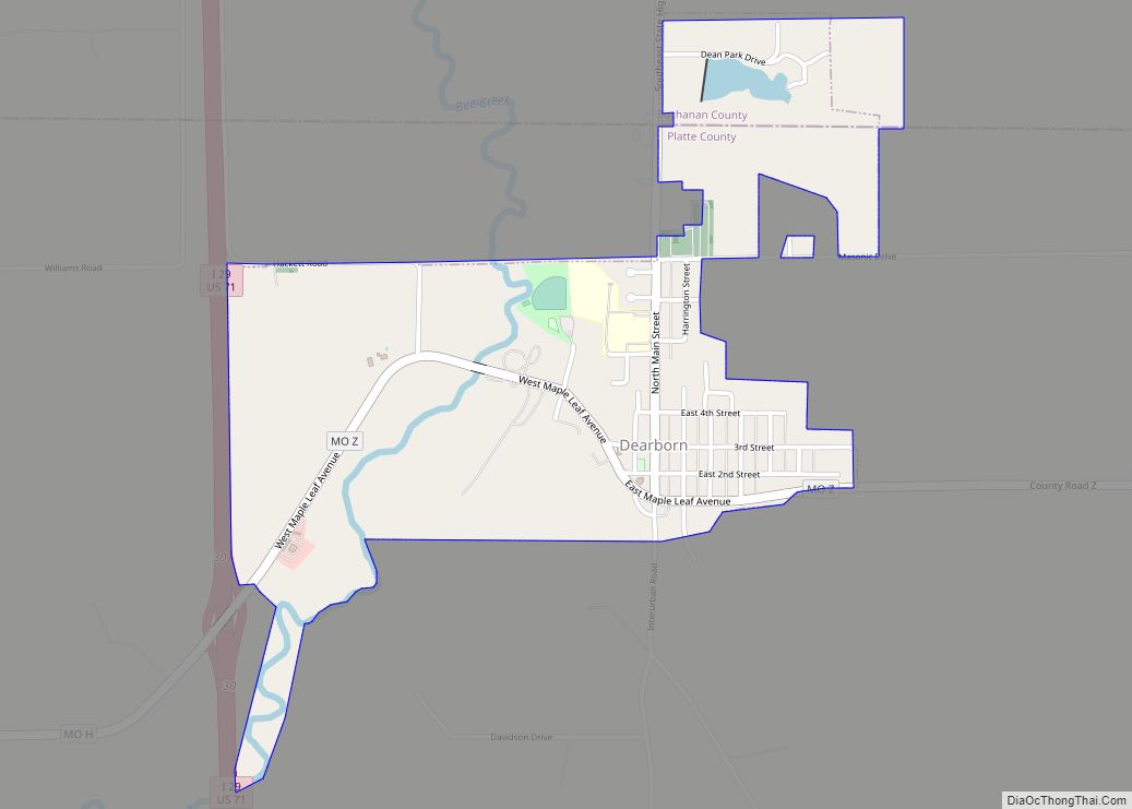
Dearborn is a city in Buchanan and Platte counties in the U.S. state of Missouri and is part of the Kansas City metropolitan area. The population was 496 at the 2010 census. Dearborn city overview: Name: Dearborn city LSAD Code: 25 LSAD Description: city (suffix) State: Missouri County: Buchanan County, Platte County Incorporated: 1882 Elevation: ... Read more
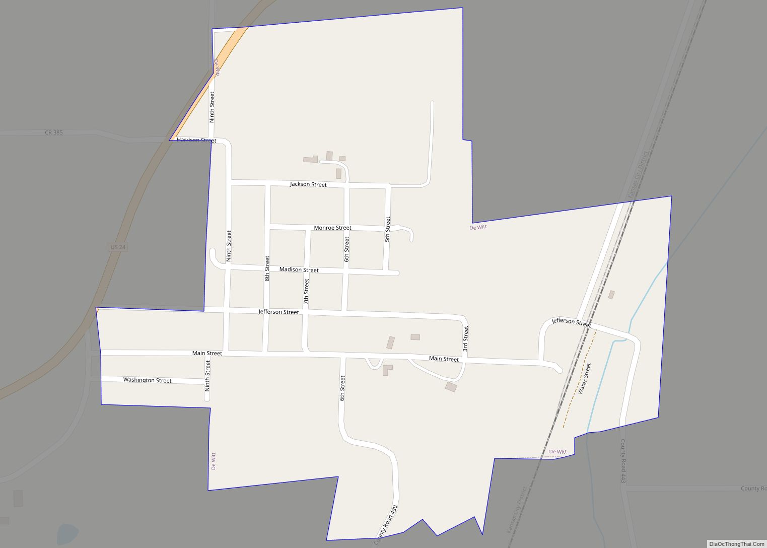
De Witt is a city in Carroll County, Missouri, United States. The population was 83 at the 2020 census. De Witt city overview: Name: De Witt city LSAD Code: 25 LSAD Description: city (suffix) State: Missouri County: Carroll County Elevation: 745 ft (227 m) Total Area: 0.24 sq mi (0.62 km²) Land Area: 0.24 sq mi (0.62 km²) Water Area: 0.00 sq mi (0.00 km²) Total ... Read more
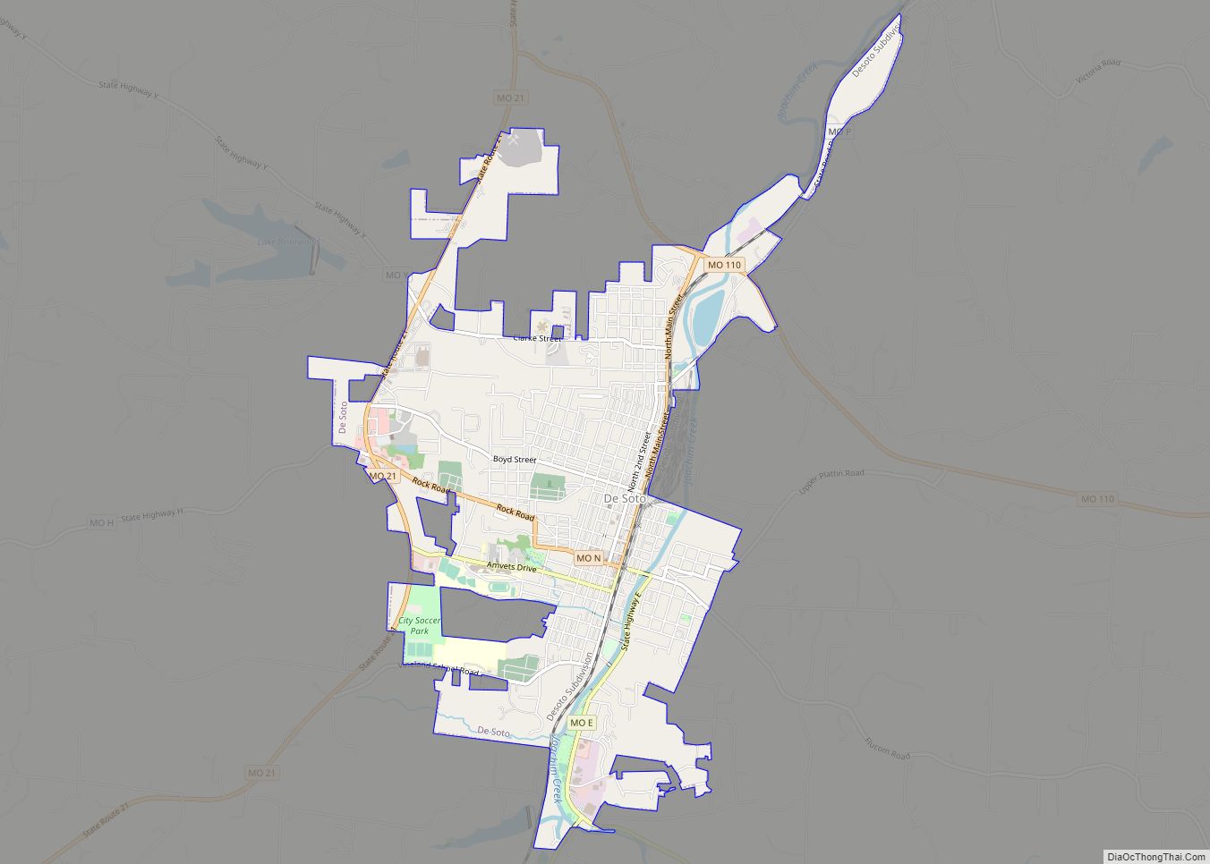
De Soto is a city in Jefferson County, Missouri, United States. The population was 6,449 at the 2020 census and the city is part of the St. Louis metropolitan area. The Van Metre family were first to settle in 1803. The town was organized in 1857 and is named for the explorer Hernando De Soto, ... Read more
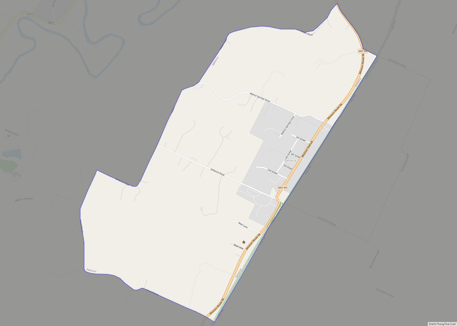
Defiance is an unincorporated community and census-designated place in Saint Charles County, Missouri, United States. As of the 2020 census, the population was 159. Defiance CDP overview: Name: Defiance CDP LSAD Code: 57 LSAD Description: CDP (suffix) State: Missouri County: St. Charles County Total Area: 56.120 sq mi (145.350 km²) Land Area: 54.760 sq mi (141.828 km²) Water Area: 1.360 sq mi (3.522 km²) ... Read more
