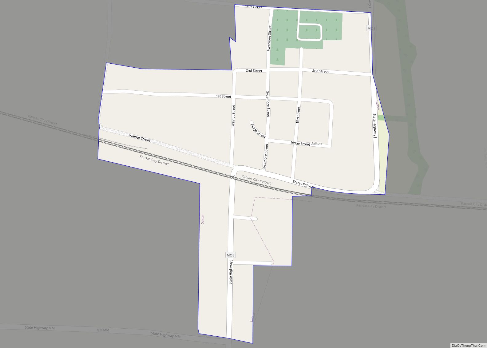
Dalton is a village in Chariton County, Missouri, United States. The population was 7 at the 2020 census.
| Name: | Dalton town |
|---|---|
| LSAD Code: | 43 |
| LSAD Description: | town (suffix) |
| State: | Missouri |
| County: | Chariton County |
| Elevation: | 686 ft (209 m) |
| Total Area: | 0.18 sq mi (0.47 km²) |
| Land Area: | 0.18 sq mi (0.47 km²) |
| Water Area: | 0.00 sq mi (0.00 km²) |
| Total Population: | 7 |
| Population Density: | 38.67/sq mi (14.94/km²) |
| ZIP code: | 65246 |
| Area code: | 660 |
| FIPS code: | 2918118 |
| GNISfeature ID: | 2396676 |
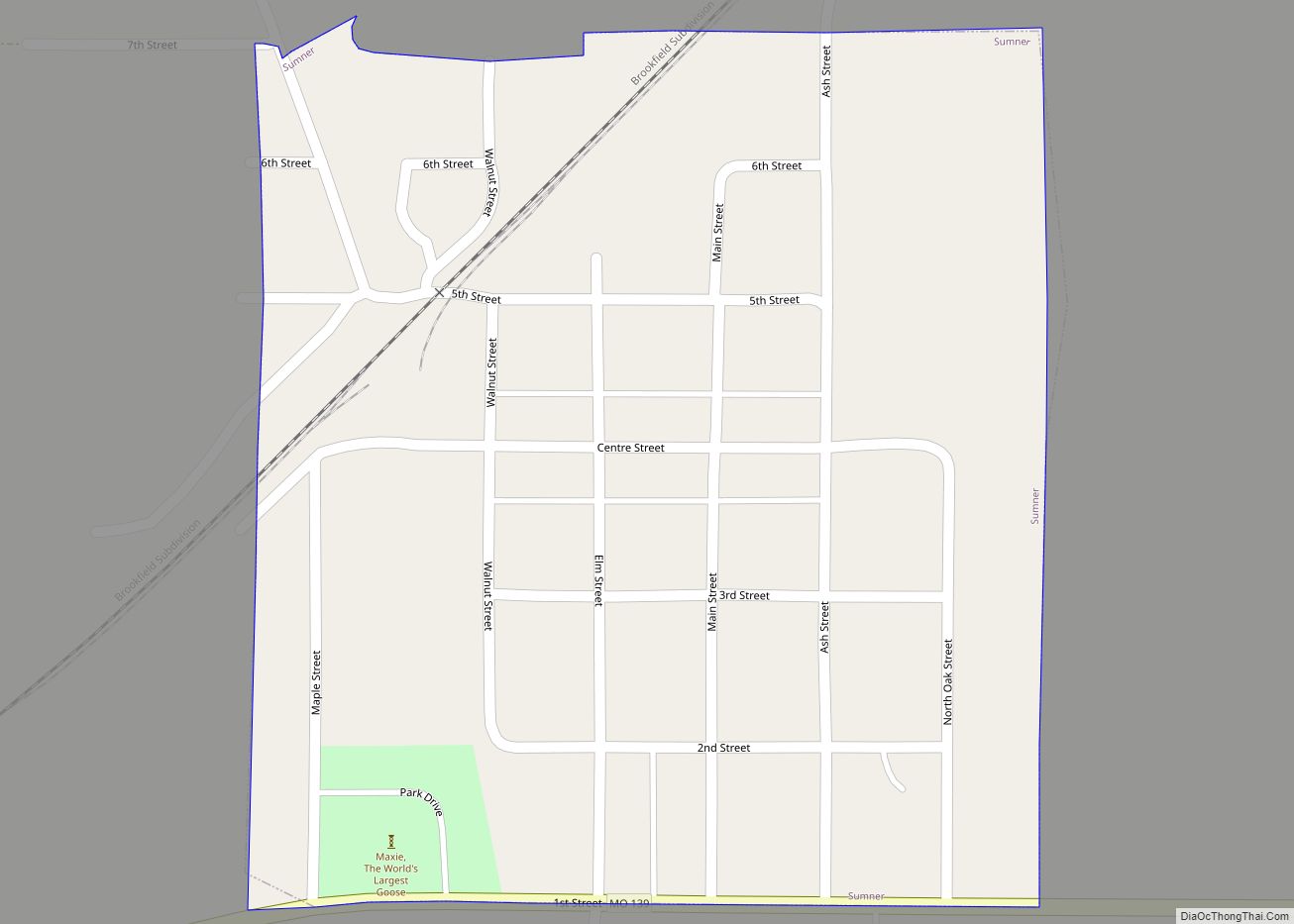
Online Interactive Map
Click on ![]() to view map in "full screen" mode.
to view map in "full screen" mode.
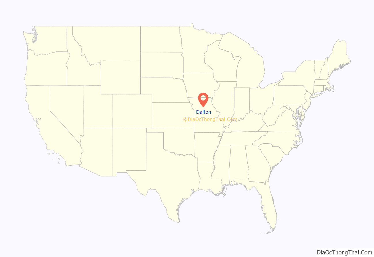
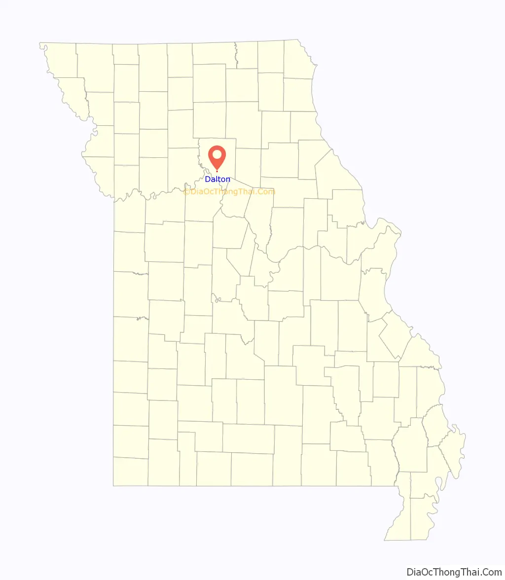
Dalton location map. Where is Dalton town?
History
Lewis and Clark made camp at what would later be known as the Cut-Off on June 12, 1804, and it was here that the expedition met with Pierre Dorion, a man who had reportedly been with the Sioux for 20 years and was thought to have some influence upon them. The Lewis and Clark journal entry describes the Dalton Cut-Off as connected to the Missouri River by a creek.
More than sixty years after the Lewis and Clark Expedition passed through the area—after the end of the Civil War—the village of Dalton was born when the railroad created a need for it. The village was named for William Dalton, who had donated the 40 acres (160,000 m) and a railroad depot was built for the St. Louis & Pacific line. [note: William Dalton was believed to be the grandfather of Missouri’s sitting governor at the time the village was named, but the contributor has not yet found sources to support that claim.]
Dalton is perhaps best known as the site of the Dalton Vocational School, originally the Barlett Agricultural and Industrial School, also referred to as the “Tuskegee of the Midwest” or “Missouri Tuskegee”. It was founded in 1907 by Nathaniel Bruce, a student and disciple of Booker T. Washington. The first permanent building was erected in 1909 after flooding forced a move to higher ground. In 1923, the school received funds from the state legislature to construct a model farm home, trade shop, and hog and poultry houses. Eventually the campus would expand to 123 acres (0.50 km). Bruce shared Washington’s view that a practical education for African American youth was best. The emphasis was on vocational and agricultural training. African American students from a relatively wide geographical area were bussed to Dalton where they studied agriculture, industrial arts, and home economics.
The demonstration farm and school came under the supervision of the University of Missouri College of Agriculture in 1924. Eventually Lincoln University, a then all-Negro college in Jefferson City, took control of the school. The Supreme Court’s 1954 ruling that schools were to be integrated forced the closing of Dalton Vocational School; the last school year was 1955–1956. Buildings and property were later sold at auction. The campus has sat empty since that time and all but two of the buildings are gone.
Large portions of the 1973 Tom Sawyer film were filmed at the Dalton Cut-Off, especially footage that featured shots of Tom and Huck’s adventures on the Missouri River.
In 1979, Dalton resident Rod Skillman was a walk-on for the Missouri football team at defensive tackle and later played professionally for the New Jersey Generals (’83–’84) and Hamilton Tiger-Cats (’84–’92).
As for the village of Dalton today, the decline of the rural economy and flooding have taken their toll. The 1993 flood reduced Dalton to a grain elevator, a post office, two churches, a community center and a few houses. But the small community still celebrates its heritage with the annual Dalton Days festival.
Today, the Dalton Cut-Off is part of what waterfowl enthusiasts call the “Golden Triangle” because it winters an exceptionally large number of birds.
Dalton Vocational School Historic District was listed on the National Register of Historic Places in 2002.
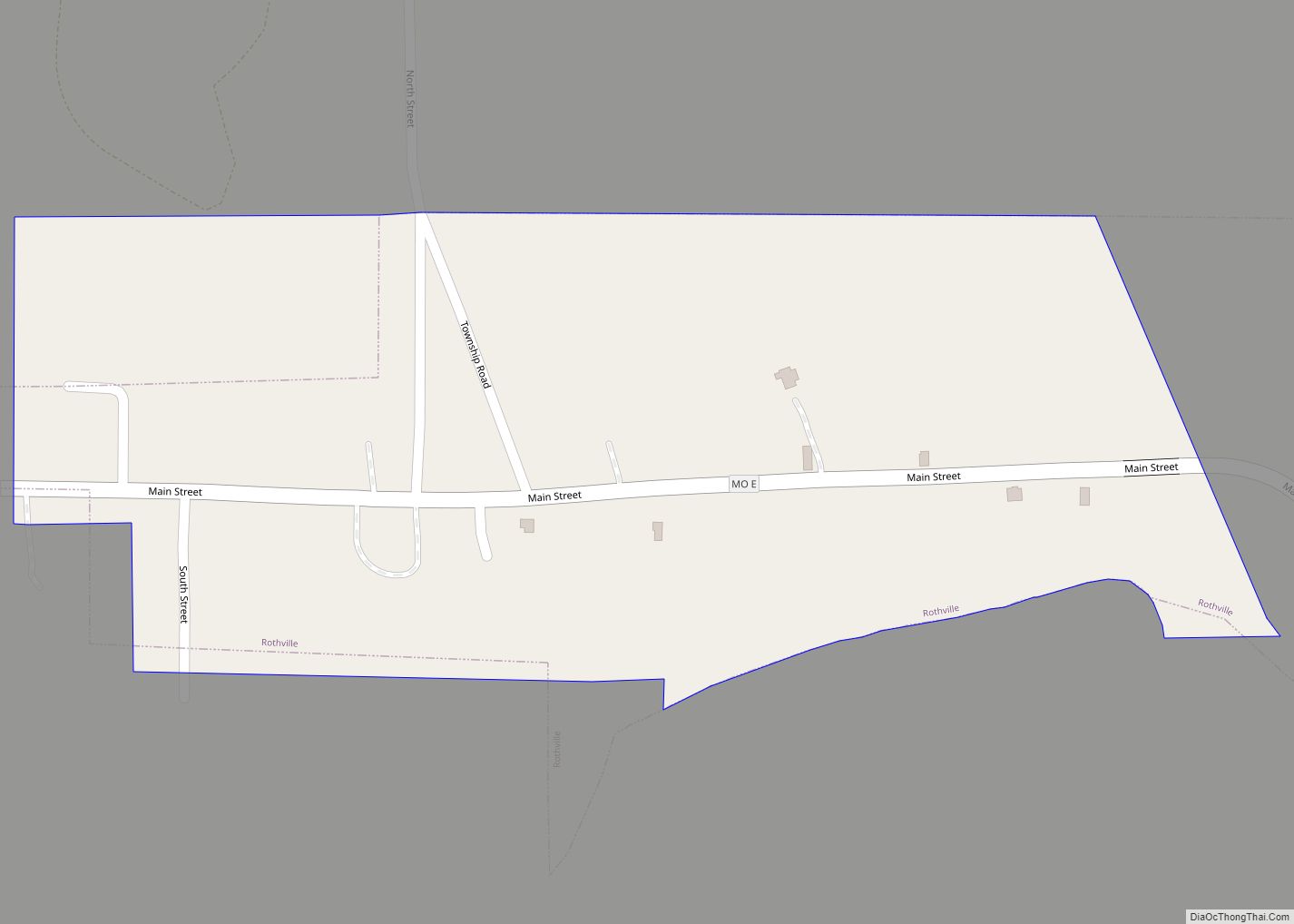
Dalton Road Map
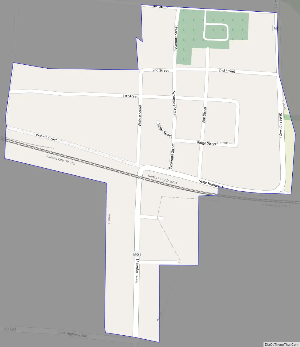
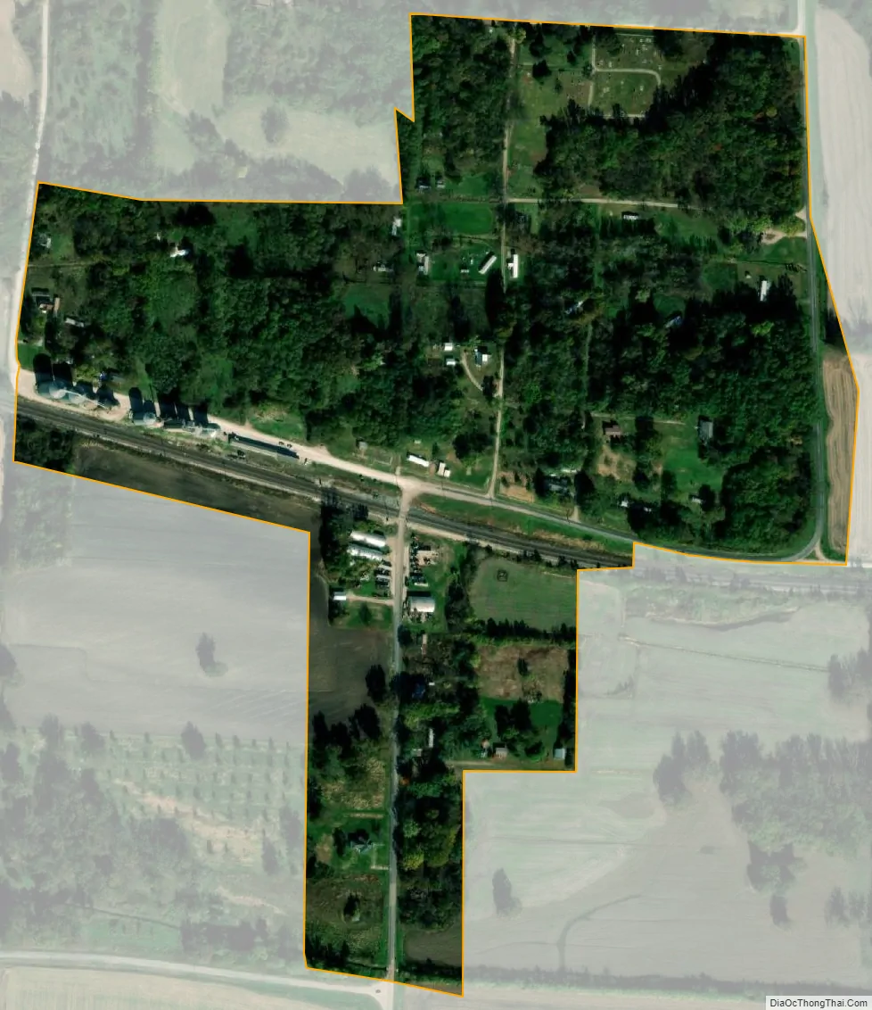
Dalton city Satellite Map
Geography
Dalton is located at 39°23′50″N 92°59′28″W / 39.39722°N 92.99111°W / 39.39722; -92.99111 (39.397130, -92.991248).
According to the United States Census Bureau, the village has a total area of 0.18 square miles (0.47 km), all land.
See also
Map of Missouri State and its subdivision:- Adair
- Andrew
- Atchison
- Audrain
- Barry
- Barton
- Bates
- Benton
- Bollinger
- Boone
- Buchanan
- Butler
- Caldwell
- Callaway
- Camden
- Cape Girardeau
- Carroll
- Carter
- Cass
- Cedar
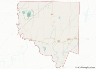
- Chariton
- Christian
- Clark
- Clay
- Clinton
- Cole
- Cooper
- Crawford
- Dade
- Dallas
- Daviess
- De Kalb
- Dent
- Douglas
- Dunklin
- Franklin
- Gasconade
- Gentry
- Greene
- Grundy
- Harrison
- Henry
- Hickory
- Holt
- Howard
- Howell
- Iron
- Jackson
- Jasper
- Jefferson
- Johnson
- Knox
- Laclede
- Lafayette
- Lawrence
- Lewis
- Lincoln
- Linn
- Livingston
- Macon
- Madison
- Maries
- Marion
- McDonald
- Mercer
- Miller
- Mississippi
- Moniteau
- Monroe
- Montgomery
- Morgan
- New Madrid
- Newton
- Nodaway
- Oregon
- Osage
- Ozark
- Pemiscot
- Perry
- Pettis
- Phelps
- Pike
- Platte
- Polk
- Pulaski
- Putnam
- Ralls
- Randolph
- Ray
- Reynolds
- Ripley
- Saint Charles
- Saint Clair
- Saint Francois
- Saint Louis
- Sainte Genevieve
- Saline
- Schuyler
- Scotland
- Scott
- Shannon
- Shelby
- Stoddard
- Stone
- Sullivan
- Taney
- Texas
- Vernon
- Warren
- Washington
- Wayne
- Webster
- Worth
- Wright
- Alabama
- Alaska
- Arizona
- Arkansas
- California
- Colorado
- Connecticut
- Delaware
- District of Columbia
- Florida
- Georgia
- Hawaii
- Idaho
- Illinois
- Indiana
- Iowa
- Kansas
- Kentucky
- Louisiana
- Maine
- Maryland
- Massachusetts
- Michigan
- Minnesota
- Mississippi
- Missouri
- Montana
- Nebraska
- Nevada
- New Hampshire
- New Jersey
- New Mexico
- New York
- North Carolina
- North Dakota
- Ohio
- Oklahoma
- Oregon
- Pennsylvania
- Rhode Island
- South Carolina
- South Dakota
- Tennessee
- Texas
- Utah
- Vermont
- Virginia
- Washington
- West Virginia
- Wisconsin
- Wyoming