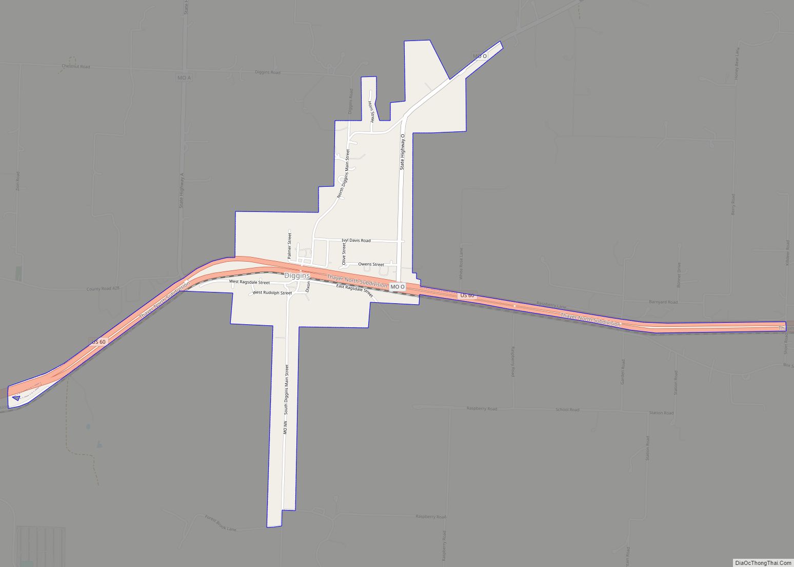
Diggins is a village in southeastern Webster County, Missouri, United States. The population was 299 at the 2010 census. It is part of the Springfield, Missouri Metropolitan Statistical Area. Diggins village overview: Name: Diggins village LSAD Code: 47 LSAD Description: village (suffix) State: Missouri County: Webster County Elevation: 1,654 ft (504 m) Total Area: 0.97 sq mi (2.51 km²) Land ... Read more
Missouri Cities and Places
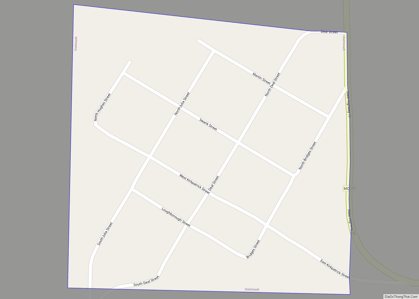
Diehlstadt is a village in Scott County, Missouri, United States. The population was 161 at the 2010 census. Diehlstadt was founded by John Kirkpatrick. Diehlstadt village overview: Name: Diehlstadt village LSAD Code: 47 LSAD Description: village (suffix) State: Missouri County: Scott County Elevation: 325 ft (99 m) Total Area: 0.07 sq mi (0.19 km²) Land Area: 0.07 sq mi (0.19 km²) Water Area: ... Read more
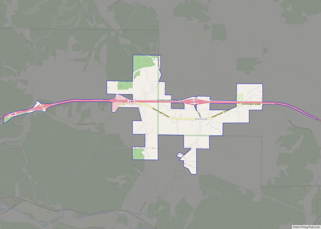
Doolittle is a city in Phelps County, Missouri, United States. The population was 630 at the 2010 census. Doolittle city overview: Name: Doolittle city LSAD Code: 25 LSAD Description: city (suffix) State: Missouri County: Phelps County Elevation: 948 ft (289 m) Total Area: 2.78 sq mi (7.21 km²) Land Area: 2.78 sq mi (7.21 km²) Water Area: 0.00 sq mi (0.00 km²) Total Population: 564 Population ... Read more
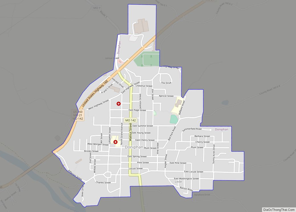
Doniphan is a city in Ripley County, Missouri, United States. The population was 1,781 at the 2020 census. It is the county seat of Ripley County. Doniphan city overview: Name: Doniphan city LSAD Code: 25 LSAD Description: city (suffix) State: Missouri County: Ripley County Elevation: 381 ft (116 m) Total Area: 1.38 sq mi (3.57 km²) Land Area: 1.38 sq mi (3.57 km²) ... Read more
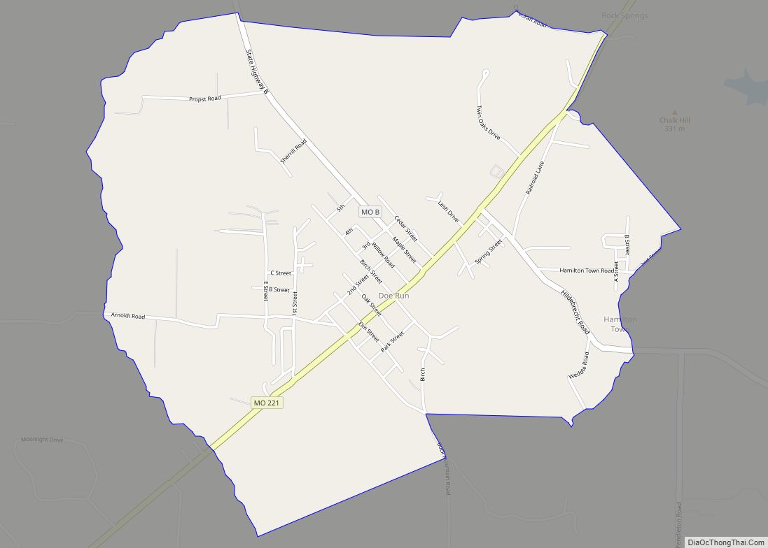
Doe Run is an unincorporated community and census-designated place in St. Francois County, Missouri, United States. It is located on Routes 221 and B, approximately three miles southwest of Farmington. Doe Run CDP overview: Name: Doe Run CDP LSAD Code: 57 LSAD Description: CDP (suffix) State: Missouri County: St. Francois County Founded: 1880 Elevation: 961 ft ... Read more
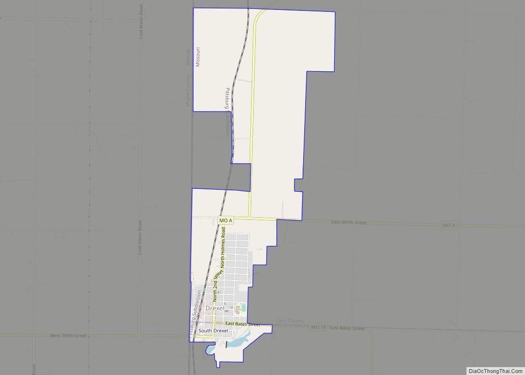
Drexel is a city in northwest Bates and southwest Cass counties in the U.S. state of Missouri. The population was 968 at the 2020 census. Drexel city overview: Name: Drexel city LSAD Code: 25 LSAD Description: city (suffix) State: Missouri County: Bates County, Cass County Elevation: 1,007 ft (307 m) Total Area: 2.76 sq mi (7.15 km²) Land Area: 2.73 sq mi ... Read more
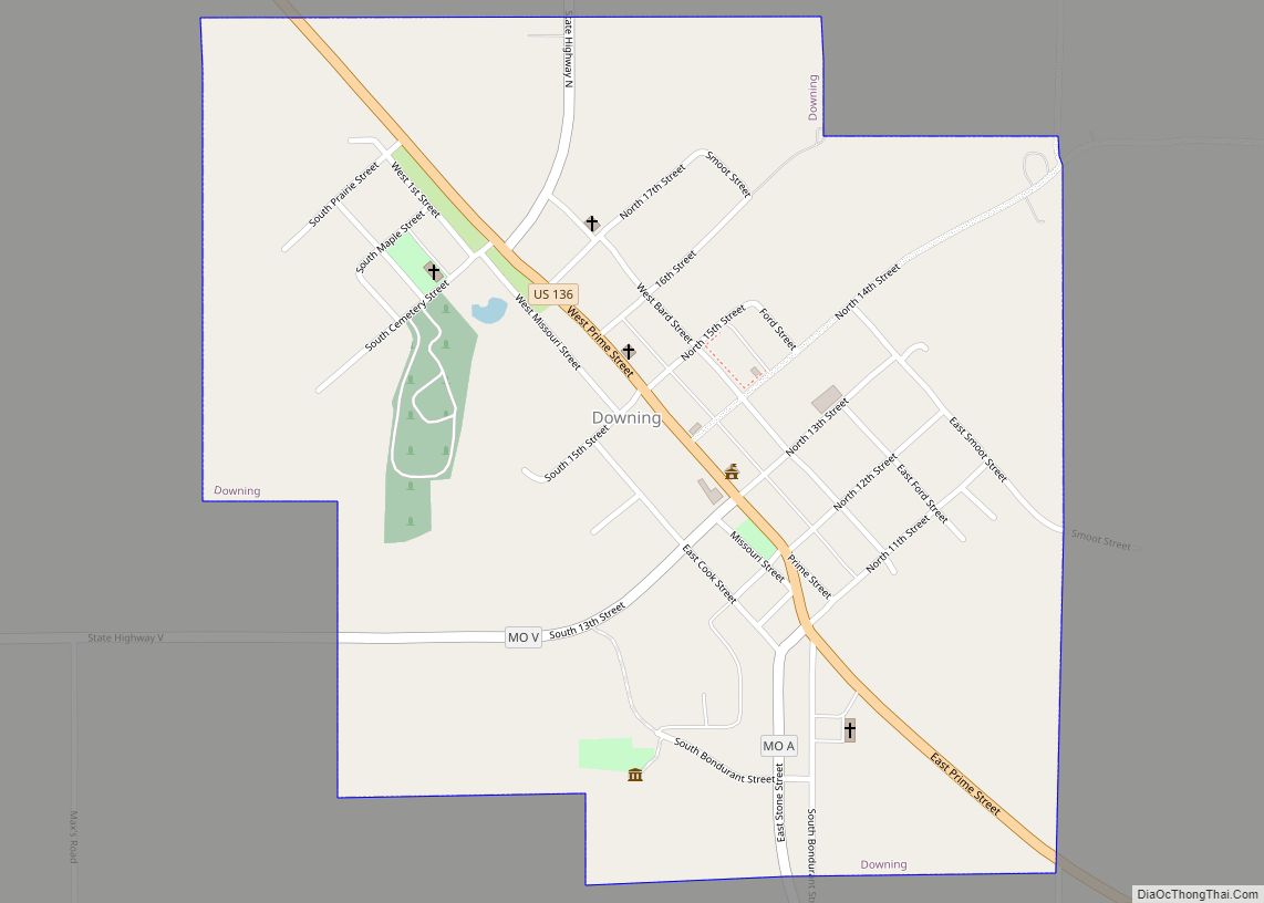
Downing is a city in Schuyler County, Missouri, United States. As of the 2020 census, its population was 300. It is part of the Kirksville Micropolitan Statistical Area. Downing city overview: Name: Downing city LSAD Code: 25 LSAD Description: city (suffix) State: Missouri County: Schuyler County Elevation: 873 ft (266 m) Total Area: 0.66 sq mi (1.72 km²) Land Area: ... Read more
Dover is a town in Lafayette County, Missouri, and is part of the Kansas City metropolitan area within the United States. The population was 103 at the 2010 census. Dover town overview: Name: Dover town LSAD Code: 43 LSAD Description: town (suffix) State: Missouri County: Lafayette County Elevation: 807 ft (246 m) Total Area: 0.20 sq mi (0.52 km²) Land ... Read more
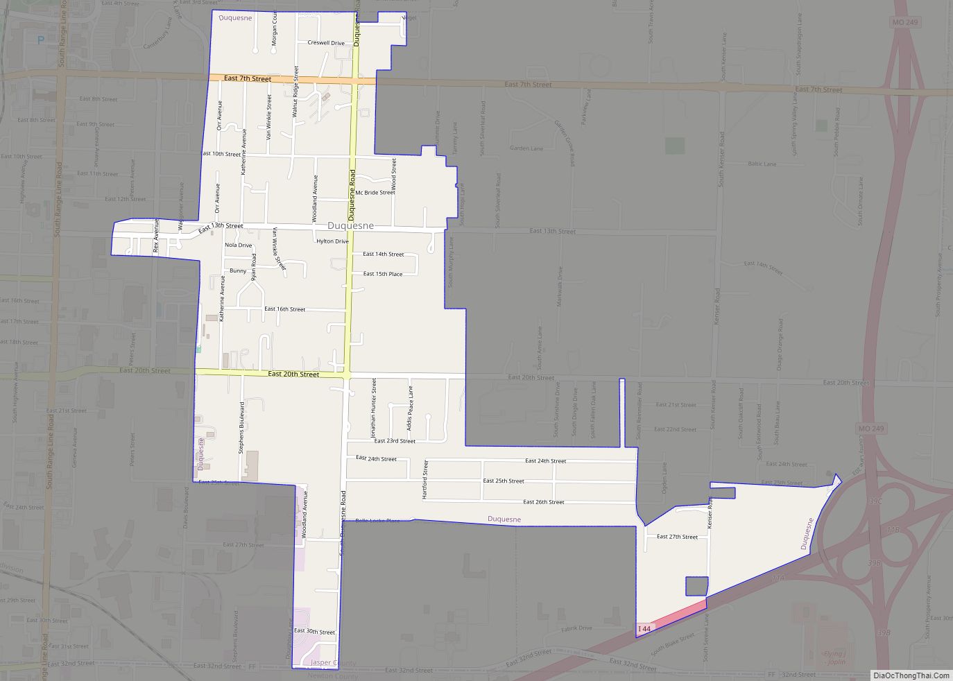
Duquesne (/djuːˈkeɪn/ dew-KAYN) is a Fourth-Class City in Jasper County, Missouri, United States. The population was 2,159 at the 2020 census. It is part of the Joplin, Missouri Metropolitan Statistical Area. Duquesne village overview: Name: Duquesne village LSAD Code: 47 LSAD Description: village (suffix) State: Missouri County: Jasper County Elevation: 1,093 ft (333 m) Total Area: 1.95 sq mi ... Read more
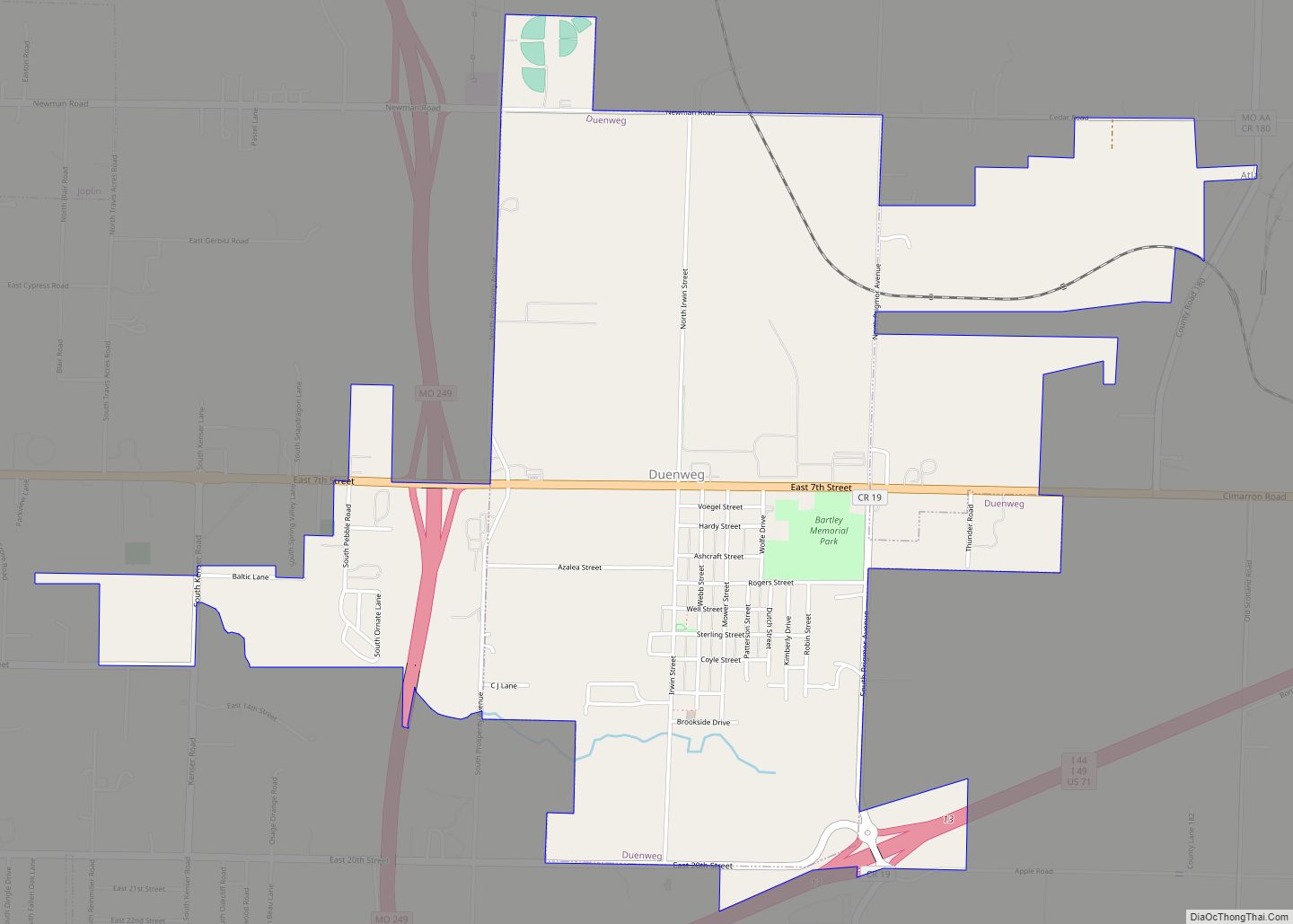
Duenweg (/dʌnəˈweɪɡ/ dun-ə-WAYG) is a city in Jasper County, Missouri, United States. The population was 1,495 at the 2020 census. It is located within the Township of Joplin, a minor civil division of Jasper County, and is part of the Joplin, Missouri Metropolitan Statistical Area. It is located just to the east of the City ... Read more
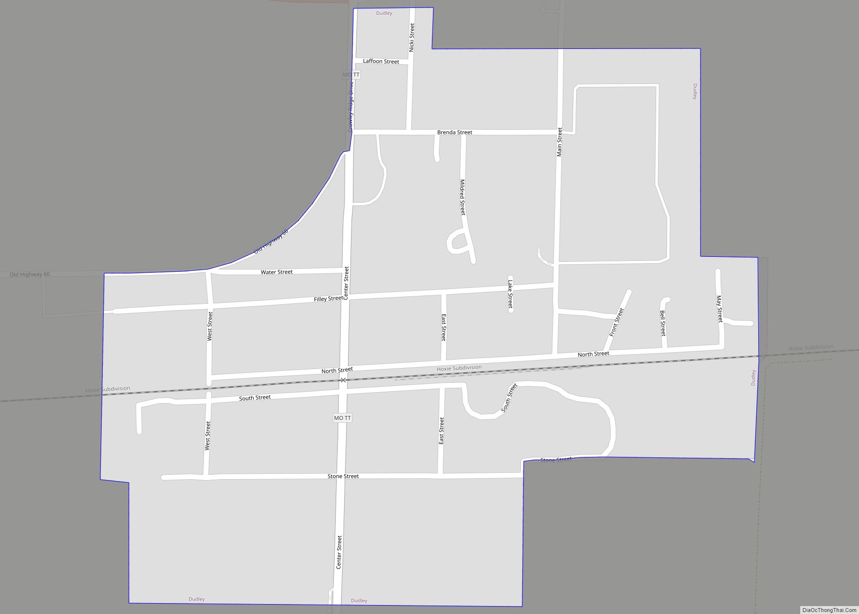
Dudley is a city in Stoddard County, Missouri, United States. The population was 232 at the 2010 census. Dudley city overview: Name: Dudley city LSAD Code: 25 LSAD Description: city (suffix) State: Missouri County: Stoddard County Elevation: 351 ft (107 m) Total Area: 0.39 sq mi (1.01 km²) Land Area: 0.39 sq mi (1.01 km²) Water Area: 0.00 sq mi (0.00 km²) Total Population: 101 Population ... Read more
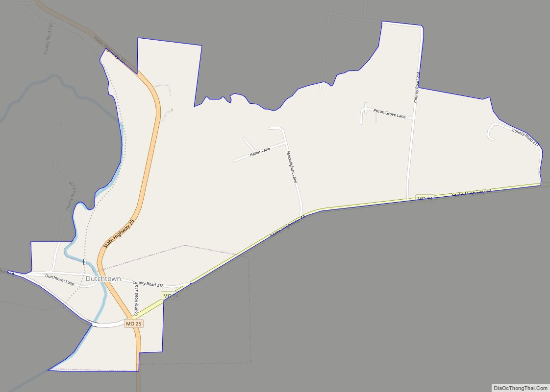
Dutchtown is a census-designated place (CDP) and former village in Cape Girardeau County, Missouri, United States, located at the intersection of Routes 25 and 74. The population was 163 at the 2020 census. It was part of the Cape Girardeau–Jackson, MO-IL Metropolitan Statistical Area. Dutchtown CDP overview: Name: Dutchtown CDP LSAD Code: 57 LSAD Description: ... Read more
