Duenweg (/dʌnəˈweɪɡ/ dun-ə-WAYG) is a city in Jasper County, Missouri, United States. The population was 1,495 at the 2020 census. It is located within the Township of Joplin, a minor civil division of Jasper County, and is part of the Joplin, Missouri Metropolitan Statistical Area. It is located just to the east of the City of Joplin. Interstate 44 and Interstate 49 run concurrently across the southeast corner of town, and Business Loop 44 runs through the center of town.
| Name: | Duenweg city |
|---|---|
| LSAD Code: | 25 |
| LSAD Description: | city (suffix) |
| State: | Missouri |
| County: | Jasper County |
| Elevation: | 1,070 ft (330 m) |
| Total Area: | 3.08 sq mi (7.96 km²) |
| Land Area: | 3.05 sq mi (7.89 km²) |
| Water Area: | 0.03 sq mi (0.07 km²) |
| Total Population: | 1,495 |
| Population Density: | 490.49/sq mi (189.40/km²) |
| ZIP code: | 64841 |
| Area code: | 417 |
| FIPS code: | 2920314 |
| GNISfeature ID: | 2394567 |
| Website: | duenwegmo.com |
Online Interactive Map
Click on ![]() to view map in "full screen" mode.
to view map in "full screen" mode.
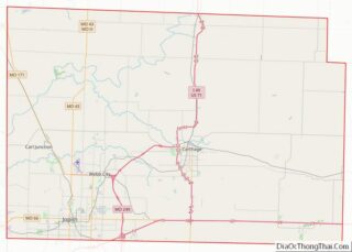
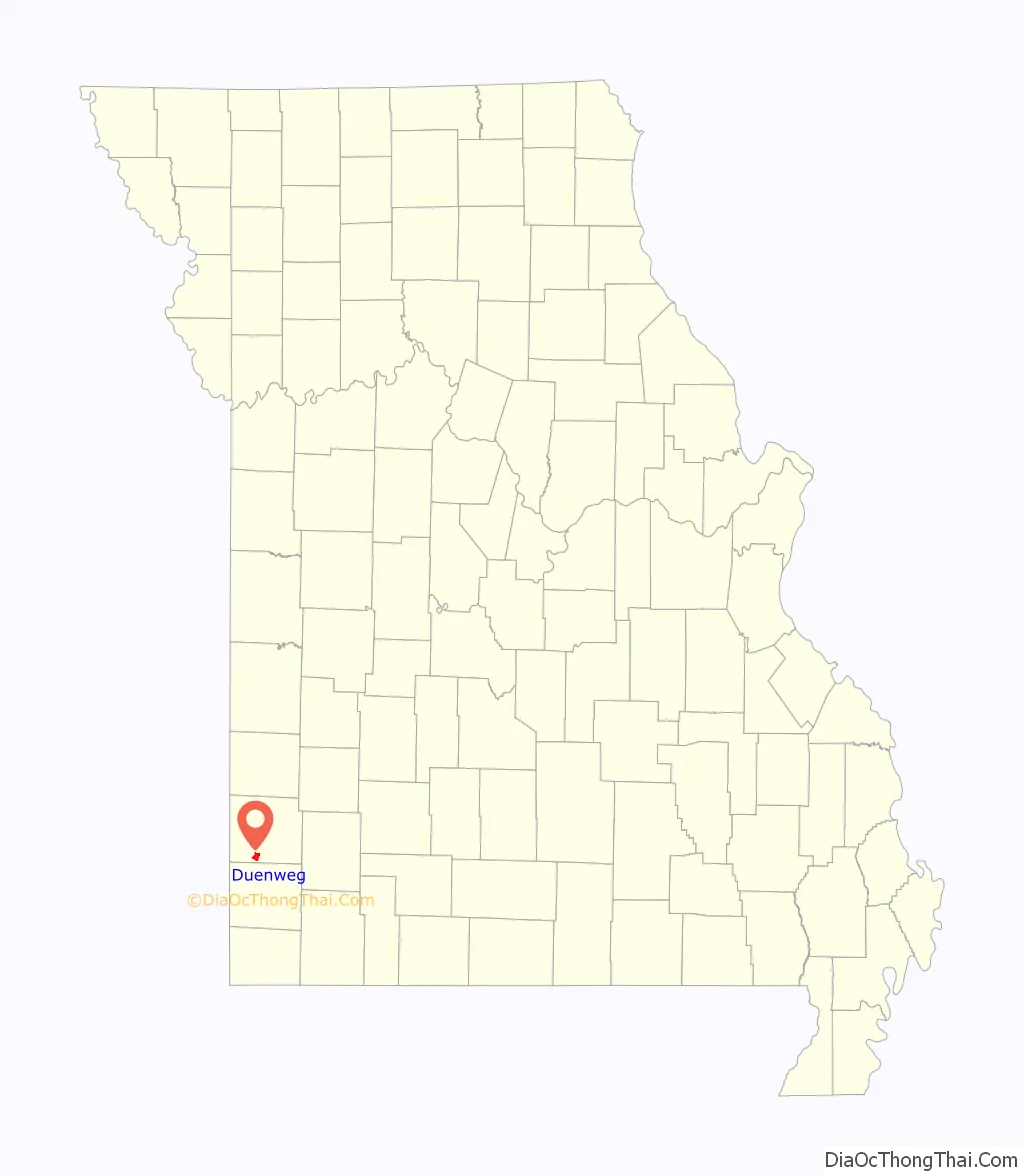
Duenweg location map. Where is Duenweg city?

History
While the Osage tribe inhabited the general region previously, European-American settlement started in the year 1855, when two brothers, Elijah C. and James C. Webb, from Overton County, Tennessee, moved to the area. Mining in the vicinity later caught the attention of Otto Duenweg and his father, Louis, of Terre Haute, Indiana, who in 1895 purchased significant mining interests at the site. The mining camp became known from that time on as Duenweg in their honor. A post office called Duenweg has been in operation since 1895.
Rail lines came in to serve the workers and mines. The Southwest Missouri Electric Railway Company, forerunner of the Southwest Missouri Railroad Company, which had already linked Joplin, Webb City, Carterville and Prosperity by 1894, was extended south from Prosperity into Duenweg in 1903. The line was indirectly involved in a bank robbery in 1915 when, on February 17, robbers hit the Duenweg Bank, intending to escape on the streetcar to Joplin. When they missed the car by one minute, they attempted and failed to escape on foot.
The settlement was not officially incorporated until 1954, becoming the City of Duenweg. In 2002 the city expanded by annexation to include additional lands to the north and south.
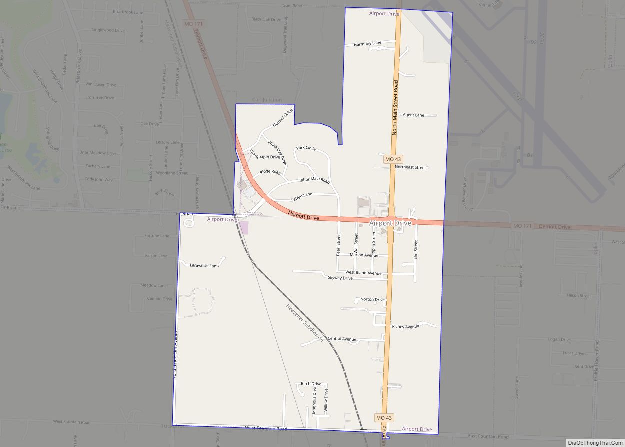
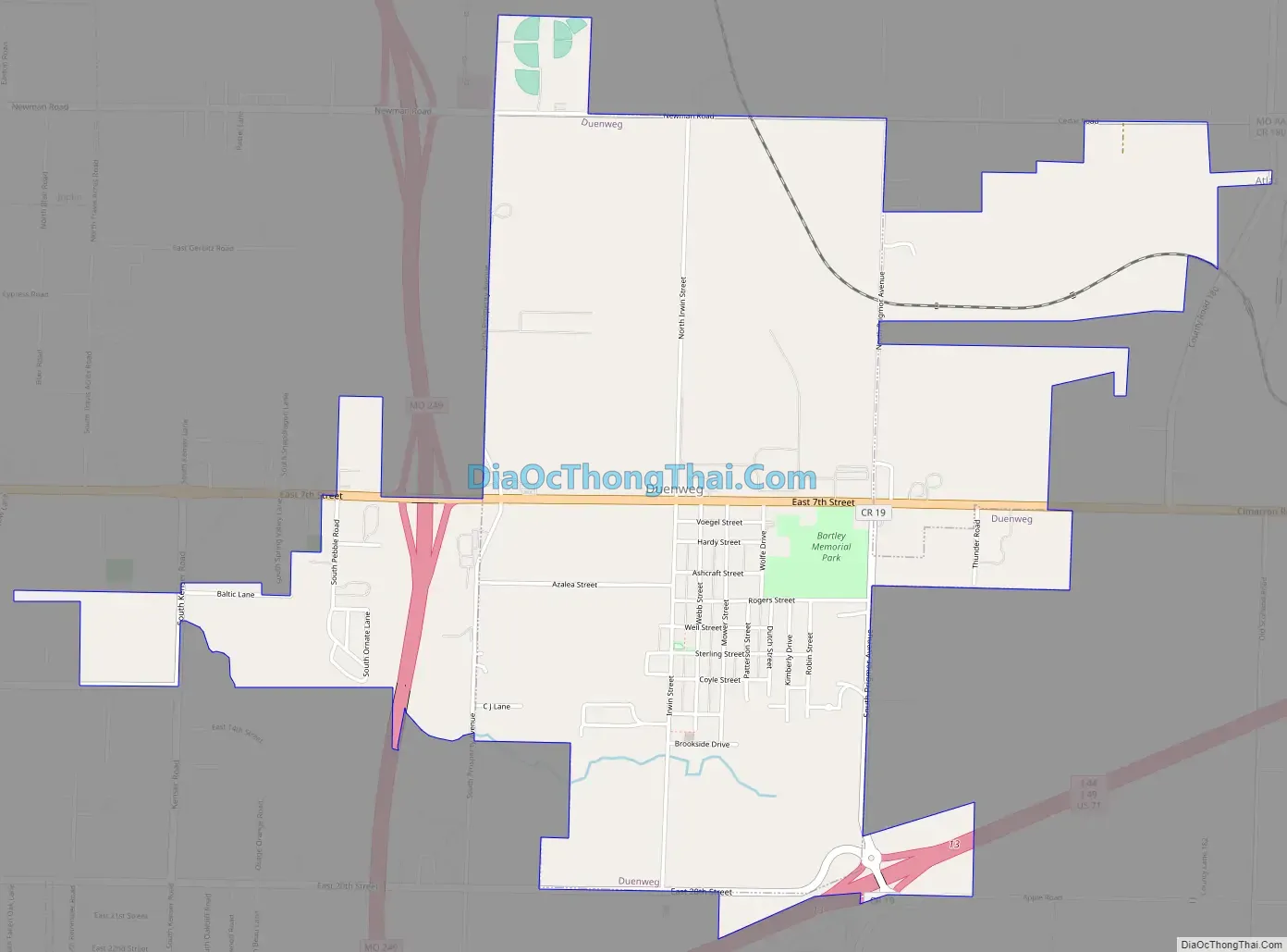
Duenweg Road Map
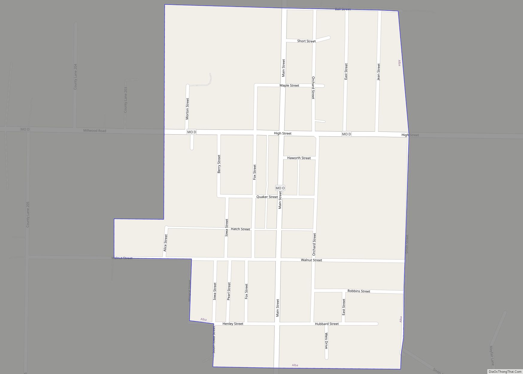
Duenweg city Satellite Map

Geography
According to the United States Census Bureau, the city has a total area of 2.04 square miles (5.28 km), all land.
See also
Map of Missouri State and its subdivision:- Adair
- Andrew
- Atchison
- Audrain
- Barry
- Barton
- Bates
- Benton
- Bollinger
- Boone
- Buchanan
- Butler
- Caldwell
- Callaway
- Camden
- Cape Girardeau
- Carroll
- Carter
- Cass
- Cedar
- Chariton
- Christian
- Clark
- Clay
- Clinton
- Cole
- Cooper
- Crawford
- Dade
- Dallas
- Daviess
- De Kalb
- Dent
- Douglas
- Dunklin
- Franklin
- Gasconade
- Gentry
- Greene
- Grundy
- Harrison
- Henry
- Hickory
- Holt
- Howard
- Howell
- Iron
- Jackson
- Jasper
- Jefferson
- Johnson
- Knox
- Laclede
- Lafayette
- Lawrence
- Lewis
- Lincoln
- Linn
- Livingston
- Macon
- Madison
- Maries
- Marion
- McDonald
- Mercer
- Miller
- Mississippi
- Moniteau
- Monroe
- Montgomery
- Morgan
- New Madrid
- Newton
- Nodaway
- Oregon
- Osage
- Ozark
- Pemiscot
- Perry
- Pettis
- Phelps
- Pike
- Platte
- Polk
- Pulaski
- Putnam
- Ralls
- Randolph
- Ray
- Reynolds
- Ripley
- Saint Charles
- Saint Clair
- Saint Francois
- Saint Louis
- Sainte Genevieve
- Saline
- Schuyler
- Scotland
- Scott
- Shannon
- Shelby
- Stoddard
- Stone
- Sullivan
- Taney
- Texas
- Vernon
- Warren
- Washington
- Wayne
- Webster
- Worth
- Wright
- Alabama
- Alaska
- Arizona
- Arkansas
- California
- Colorado
- Connecticut
- Delaware
- District of Columbia
- Florida
- Georgia
- Hawaii
- Idaho
- Illinois
- Indiana
- Iowa
- Kansas
- Kentucky
- Louisiana
- Maine
- Maryland
- Massachusetts
- Michigan
- Minnesota
- Mississippi
- Missouri
- Montana
- Nebraska
- Nevada
- New Hampshire
- New Jersey
- New Mexico
- New York
- North Carolina
- North Dakota
- Ohio
- Oklahoma
- Oregon
- Pennsylvania
- Rhode Island
- South Carolina
- South Dakota
- Tennessee
- Texas
- Utah
- Vermont
- Virginia
- Washington
- West Virginia
- Wisconsin
- Wyoming