Doniphan is a city in Ripley County, Missouri, United States. The population was 1,781 at the 2020 census. It is the county seat of Ripley County.
| Name: | Doniphan city |
|---|---|
| LSAD Code: | 25 |
| LSAD Description: | city (suffix) |
| State: | Missouri |
| County: | Ripley County |
| Elevation: | 381 ft (116 m) |
| Total Area: | 1.38 sq mi (3.57 km²) |
| Land Area: | 1.38 sq mi (3.57 km²) |
| Water Area: | 0.00 sq mi (0.00 km²) |
| Total Population: | 1,781 |
| Population Density: | 1,294.33/sq mi (499.57/km²) |
| ZIP code: | 63935 |
| Area code: | 573 |
| FIPS code: | 2919792 |
| GNISfeature ID: | 2394544 |
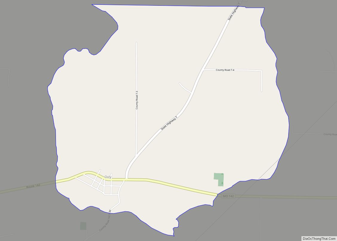
Online Interactive Map
Click on ![]() to view map in "full screen" mode.
to view map in "full screen" mode.
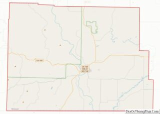
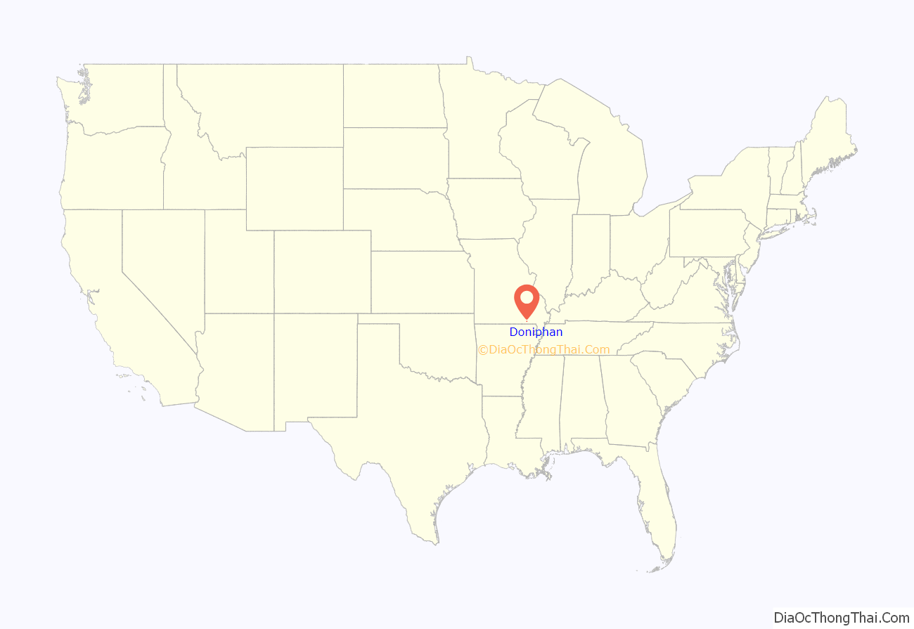
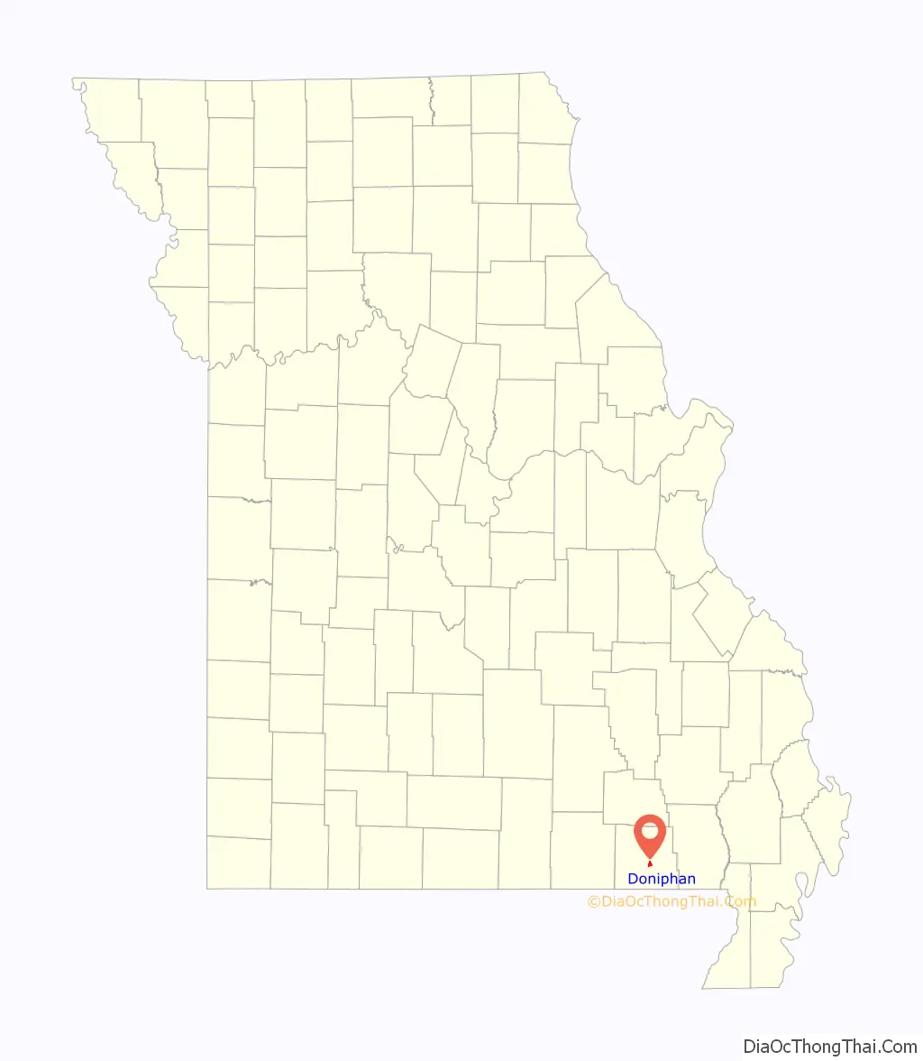
Doniphan location map. Where is Doniphan city?
History
The first settlement at Doniphan was made in the 1840s. The community was named for Alexander William Doniphan. A post office called Doniphan has been in operation since 1848.
Early Years
The earliest recorded permanent settlement in the area that would become Doniphan was that of Lemuel Kittrell in 1819. Kittrell built a grist and wood mill near his home that attracted additional settlers to the region. By 1841, the Kittrell settlement had grown to a sizeable village that included an inn, store, distillery, produce warehouse, tannery, justice of the peace and notary office, blacksmith, and a gunsmith.
The town of Doniphan was founded in 1847. Due to most of the population of Ripley County being concentrated in the southern half of the county, the county seat was moved from Van Buren to Doniphan the same year.
Civil War
Most residents of Southeast Missouri identified as southerners and sympathized with, or fought for, the Confederacy. During the winter of 1861-1862, the combination of harsh conditions and numerous skirmishes ruined crops and many families suffered. The residents of Doniphan were promised protection by Captain W. T. Leeper if they remained loyal to the Union, but the residents were mostly rebel sympathizers.
In 1862, Reverend Timothy Reeves, a Baptist minister in Doniphan, formed Reeve’s Independent Company of Missouri Scouts, a militia group under the command of Confederate General John Sappington Marmaduke. On April 1, 1862, a skirmish lasting two days took place at the Doniphan Ford on Current River. Union forces were led by Captain Leeper, while pro-Confederate forces were led by Reverend Reeves. The skirmish resulted in many killed, wounded, or captured for both sides.
In 1863, Reeves combined his Independent Scouts with another militia group to form the 15th Missouri Cavalry Regiment, CSA.
In 1864, Union troops entered Doniphan and burned most of the town, including the wooden courthouse.
As of 1900, Doniphan is a sundown town that prohibited African Americans from living there.
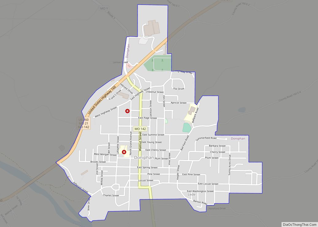
Doniphan Road Map
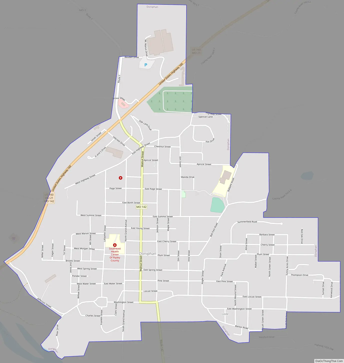
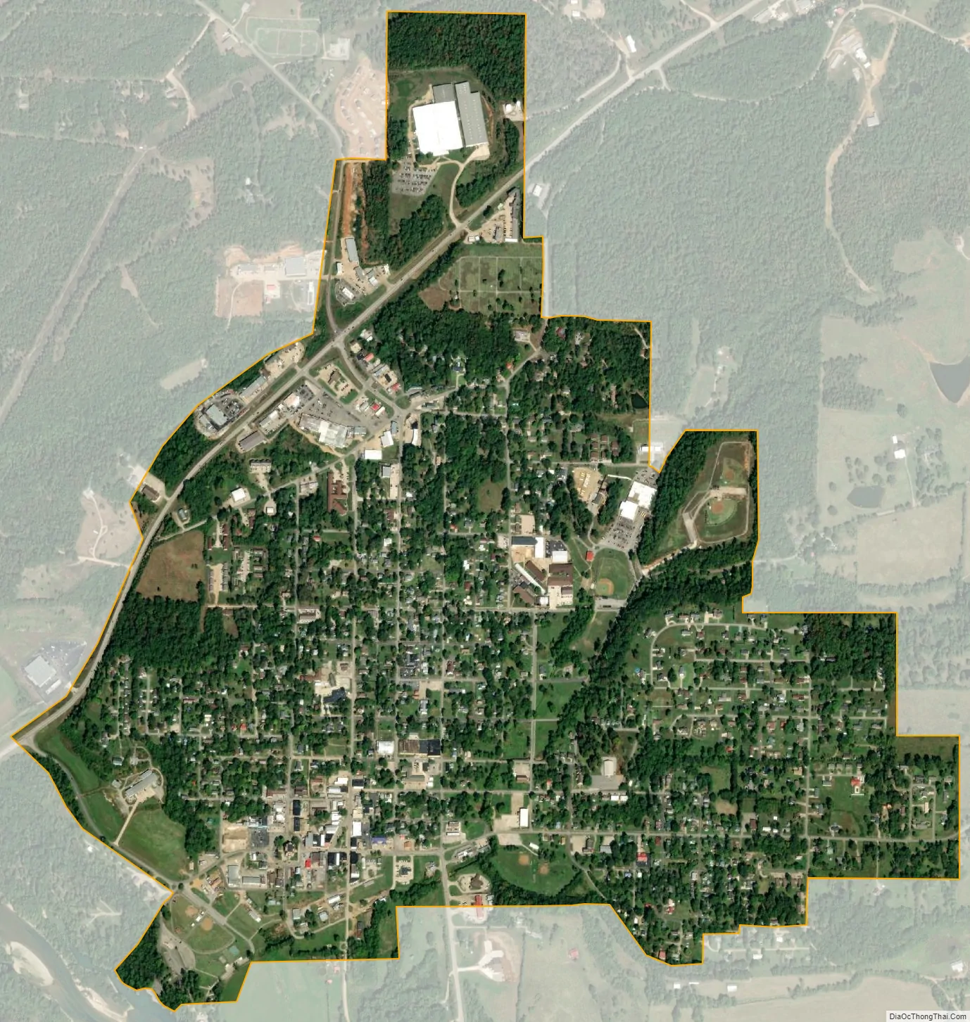
Doniphan city Satellite Map
Geography
Doniphan is located in south-central Ripley County at the intersection of US Route 160 and Missouri Route 142. The Current River flows past the west side of the city.
According to the United States Census Bureau, the city has a total area of 1.38 square miles (3.57 km), all land.
See also
Map of Missouri State and its subdivision:- Adair
- Andrew
- Atchison
- Audrain
- Barry
- Barton
- Bates
- Benton
- Bollinger
- Boone
- Buchanan
- Butler
- Caldwell
- Callaway
- Camden
- Cape Girardeau
- Carroll
- Carter
- Cass
- Cedar
- Chariton
- Christian
- Clark
- Clay
- Clinton
- Cole
- Cooper
- Crawford
- Dade
- Dallas
- Daviess
- De Kalb
- Dent
- Douglas
- Dunklin
- Franklin
- Gasconade
- Gentry
- Greene
- Grundy
- Harrison
- Henry
- Hickory
- Holt
- Howard
- Howell
- Iron
- Jackson
- Jasper
- Jefferson
- Johnson
- Knox
- Laclede
- Lafayette
- Lawrence
- Lewis
- Lincoln
- Linn
- Livingston
- Macon
- Madison
- Maries
- Marion
- McDonald
- Mercer
- Miller
- Mississippi
- Moniteau
- Monroe
- Montgomery
- Morgan
- New Madrid
- Newton
- Nodaway
- Oregon
- Osage
- Ozark
- Pemiscot
- Perry
- Pettis
- Phelps
- Pike
- Platte
- Polk
- Pulaski
- Putnam
- Ralls
- Randolph
- Ray
- Reynolds
- Ripley
- Saint Charles
- Saint Clair
- Saint Francois
- Saint Louis
- Sainte Genevieve
- Saline
- Schuyler
- Scotland
- Scott
- Shannon
- Shelby
- Stoddard
- Stone
- Sullivan
- Taney
- Texas
- Vernon
- Warren
- Washington
- Wayne
- Webster
- Worth
- Wright
- Alabama
- Alaska
- Arizona
- Arkansas
- California
- Colorado
- Connecticut
- Delaware
- District of Columbia
- Florida
- Georgia
- Hawaii
- Idaho
- Illinois
- Indiana
- Iowa
- Kansas
- Kentucky
- Louisiana
- Maine
- Maryland
- Massachusetts
- Michigan
- Minnesota
- Mississippi
- Missouri
- Montana
- Nebraska
- Nevada
- New Hampshire
- New Jersey
- New Mexico
- New York
- North Carolina
- North Dakota
- Ohio
- Oklahoma
- Oregon
- Pennsylvania
- Rhode Island
- South Carolina
- South Dakota
- Tennessee
- Texas
- Utah
- Vermont
- Virginia
- Washington
- West Virginia
- Wisconsin
- Wyoming