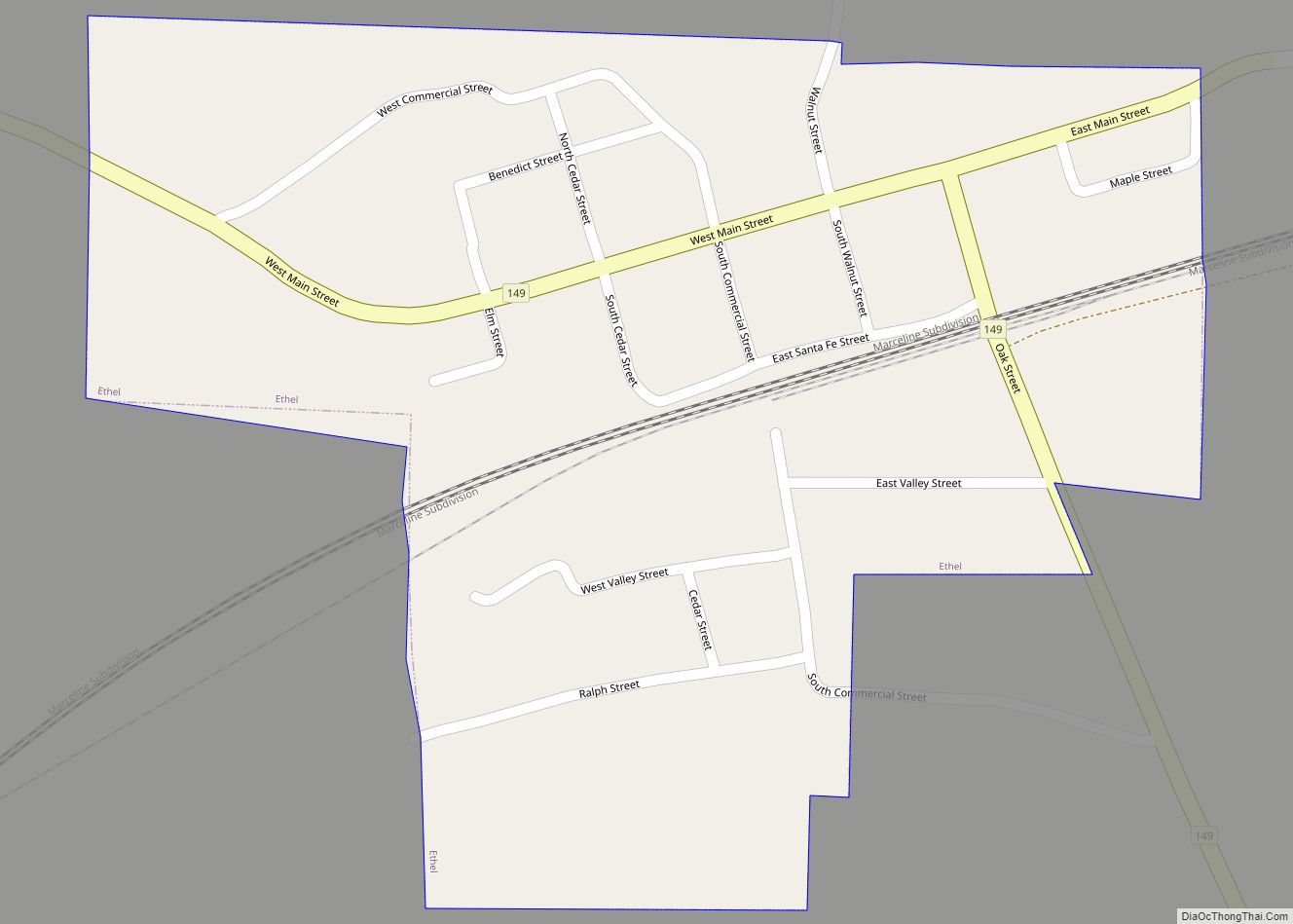
Ethel is a town in Macon County, Missouri, United States. The population was 41 at the 2020 census. Ethel town overview: Name: Ethel town LSAD Code: 43 LSAD Description: town (suffix) State: Missouri County: Macon County Elevation: 824 ft (251 m) Total Area: 0.23 sq mi (0.60 km²) Land Area: 0.23 sq mi (0.60 km²) Water Area: 0.00 sq mi (0.00 km²) Total Population: 41 Population ... Read more
Missouri Cities and Places
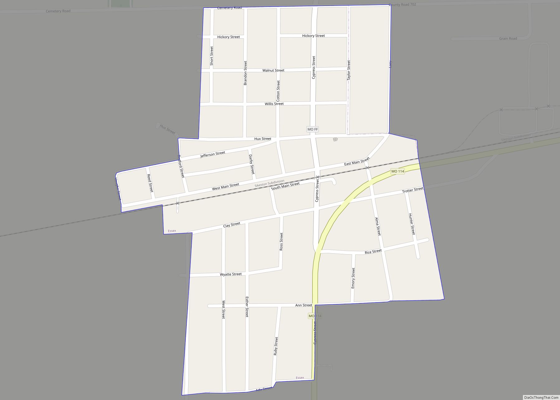
Essex is a city in Stoddard County, Missouri, United States. The population was 472 at the 2010 census. Essex city overview: Name: Essex city LSAD Code: 25 LSAD Description: city (suffix) State: Missouri County: Stoddard County Elevation: 299 ft (91 m) Total Area: 0.29 sq mi (0.75 km²) Land Area: 0.29 sq mi (0.75 km²) Water Area: 0.00 sq mi (0.00 km²) Total Population: 403 Population ... Read more
Eureka is a city located in St. Louis County, Missouri, United States, adjacent to the cities of Wildwood and Pacific, along Interstate 44. It is in the extreme southwest of the Greater St. Louis metro area. As of the 2020 census, the city had a population of 11,646. Since 1971, Eureka has been known as ... Read more
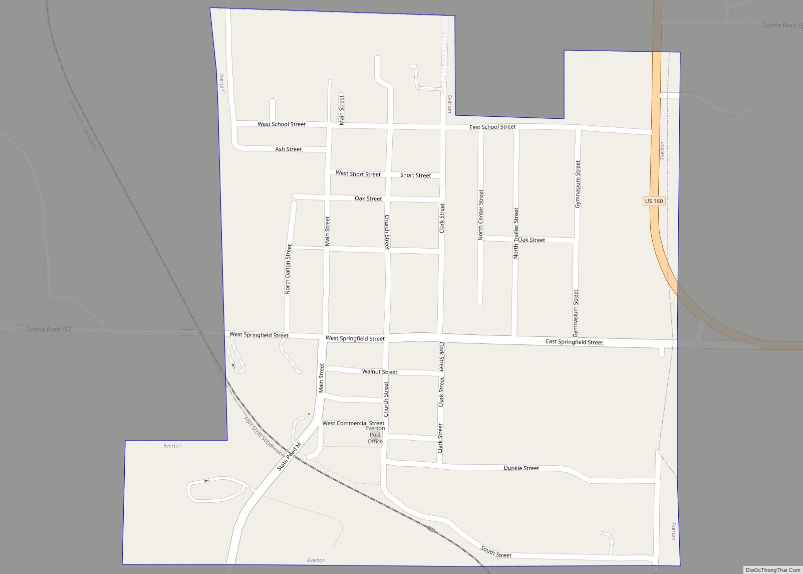
Everton is a city in southeast Dade County, Missouri, United States. The population was 273 at the 2020 census. Everton city overview: Name: Everton city LSAD Code: 25 LSAD Description: city (suffix) State: Missouri County: Dade County Elevation: 1,093 ft (333 m) Total Area: 0.34 sq mi (0.89 km²) Land Area: 0.34 sq mi (0.89 km²) Water Area: 0.00 sq mi (0.00 km²) Total Population: 273 ... Read more
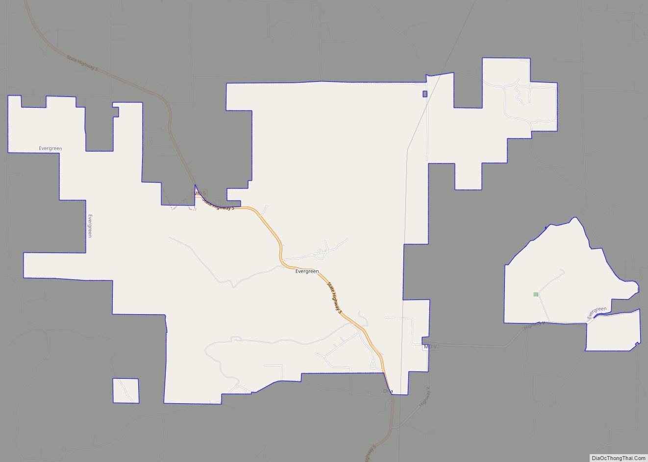
Evergreen is a village in Laclede County, Missouri, United States. The population was 28 at the 2010 census. It was named Twin Bridges at the 2000 census. Evergreen village overview: Name: Evergreen village LSAD Code: 47 LSAD Description: village (suffix) State: Missouri County: Laclede County Elevation: 1,204 ft (367 m) Total Area: 10.21 sq mi (26.43 km²) Land Area: 10.11 sq mi ... Read more
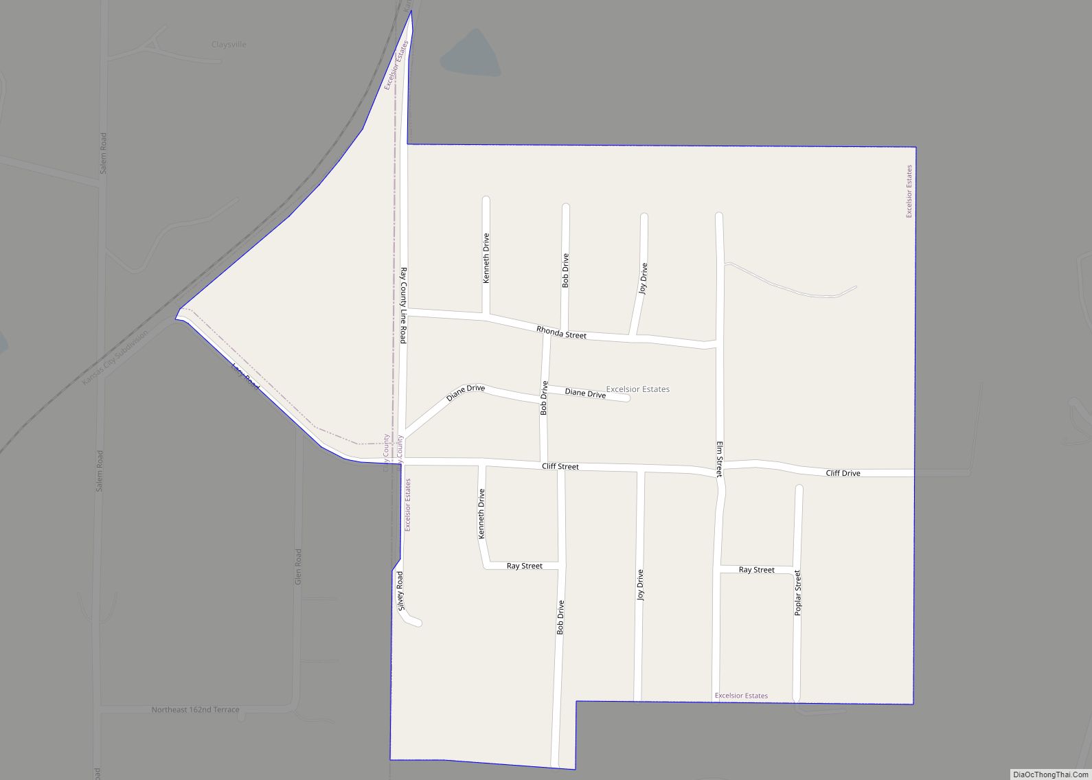
Excelsior Estates is a village in Clay and Ray counties in the U.S. state of Missouri and part of the Kansas City metropolitan area. The population was 209 at the 2020 census. Excelsior Estates village overview: Name: Excelsior Estates village LSAD Code: 47 LSAD Description: village (suffix) State: Missouri County: Clay County, Ray County Elevation: ... Read more
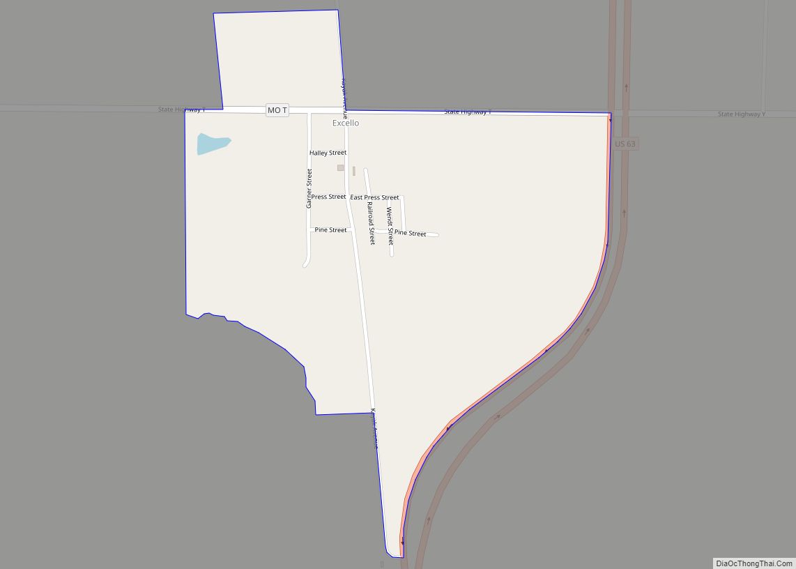
Excello is a census designated place (CDP) in southern Macon County, Missouri, United States. It is located approximately eight miles south of Macon and fifteen miles north of Moberly, one-half mile west of U.S. Route 63 on State Road T. An early variant name was “Emerson”. A post office called Excello has been in operation ... Read more
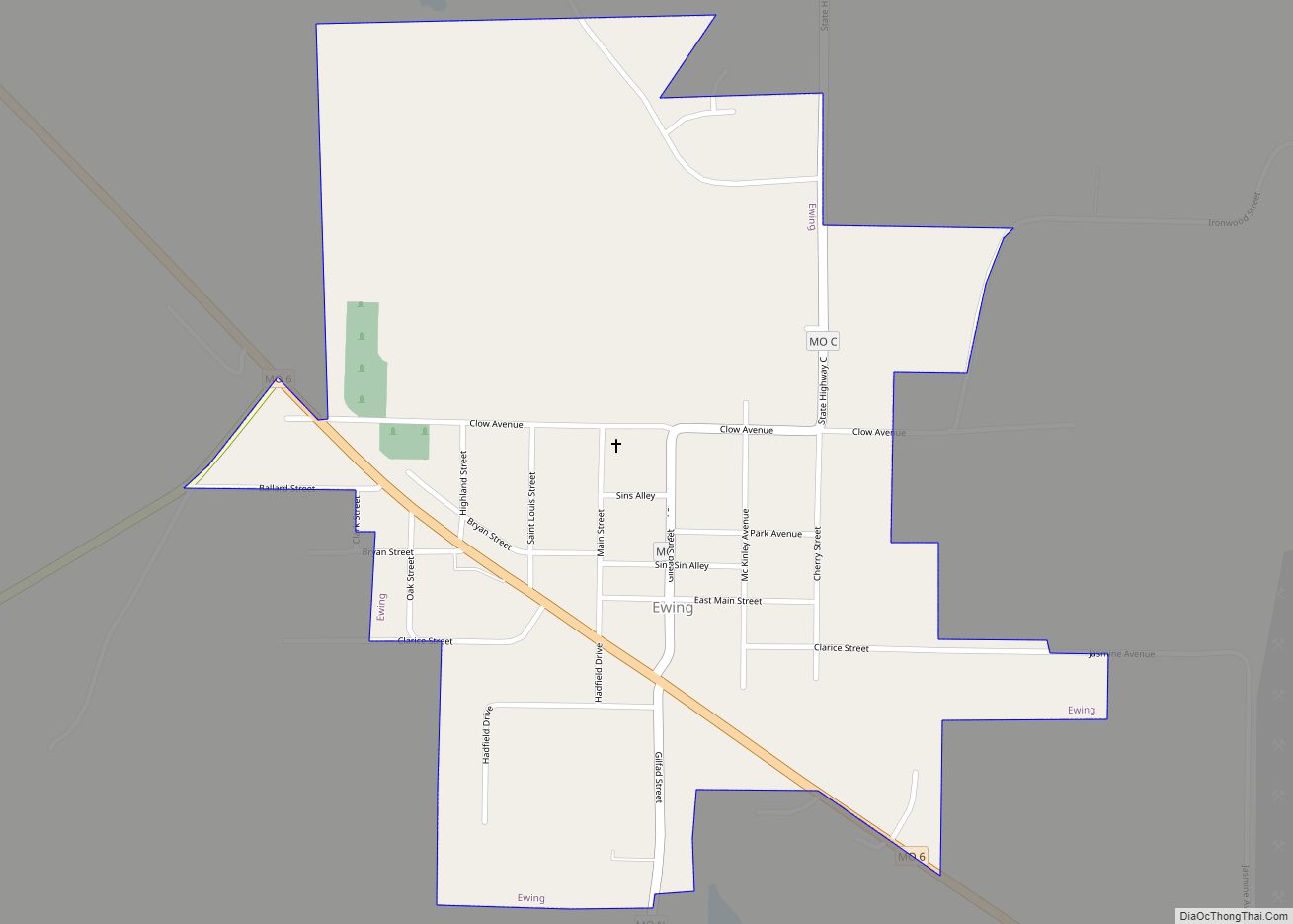
Ewing is a city in Lewis County, Missouri, United States. The population was 406 at the 2020 census. It is part of the Quincy, IL–MO Micropolitan Statistical Area. Ewing is part of the Lewis County C-1 School district. Students attend the nearby Highland Elementary and Highland Junior-Senior High School. Ewing city overview: Name: Ewing city ... Read more
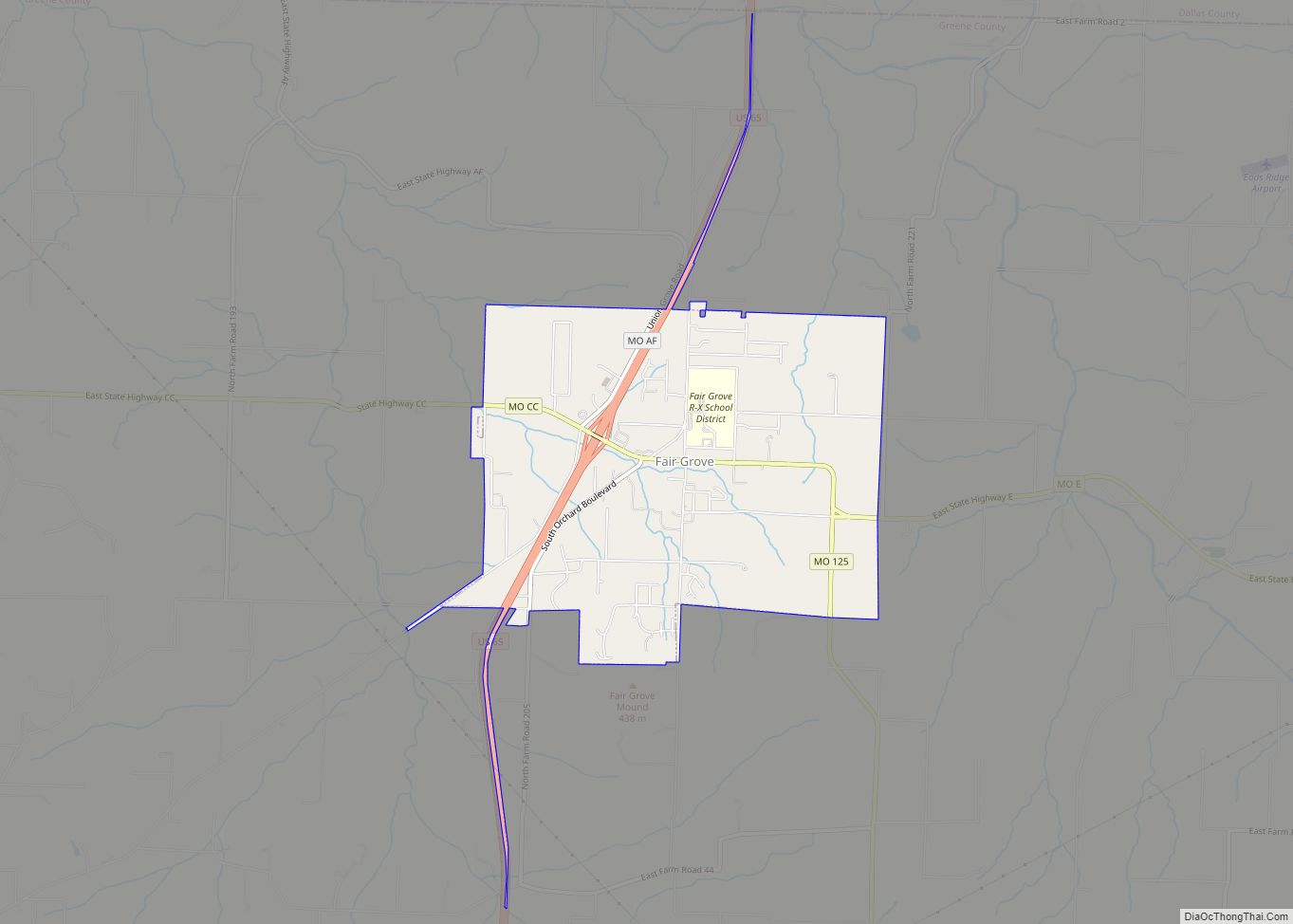
Fair Grove is a city in Greene County, Missouri, United States. The population was 1,582 at the 2020 census. It is part of the Springfield, Missouri Metropolitan Statistical Area. Fair Grove city overview: Name: Fair Grove city LSAD Code: 25 LSAD Description: city (suffix) State: Missouri County: Greene County Elevation: 1,211 ft (369 m) Total Area: 3.19 sq mi ... Read more
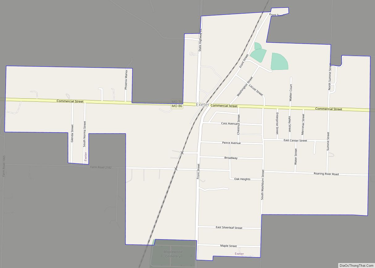
Exeter is a city in Exeter Township, Barry County, Missouri, United States. The population was 772 at the 2010 census. Exeter city overview: Name: Exeter city LSAD Code: 25 LSAD Description: city (suffix) State: Missouri County: Barry County Elevation: 1,549 ft (472 m) Total Area: 0.79 sq mi (2.05 km²) Land Area: 0.79 sq mi (2.05 km²) Water Area: 0.00 sq mi (0.00 km²) Total Population: ... Read more
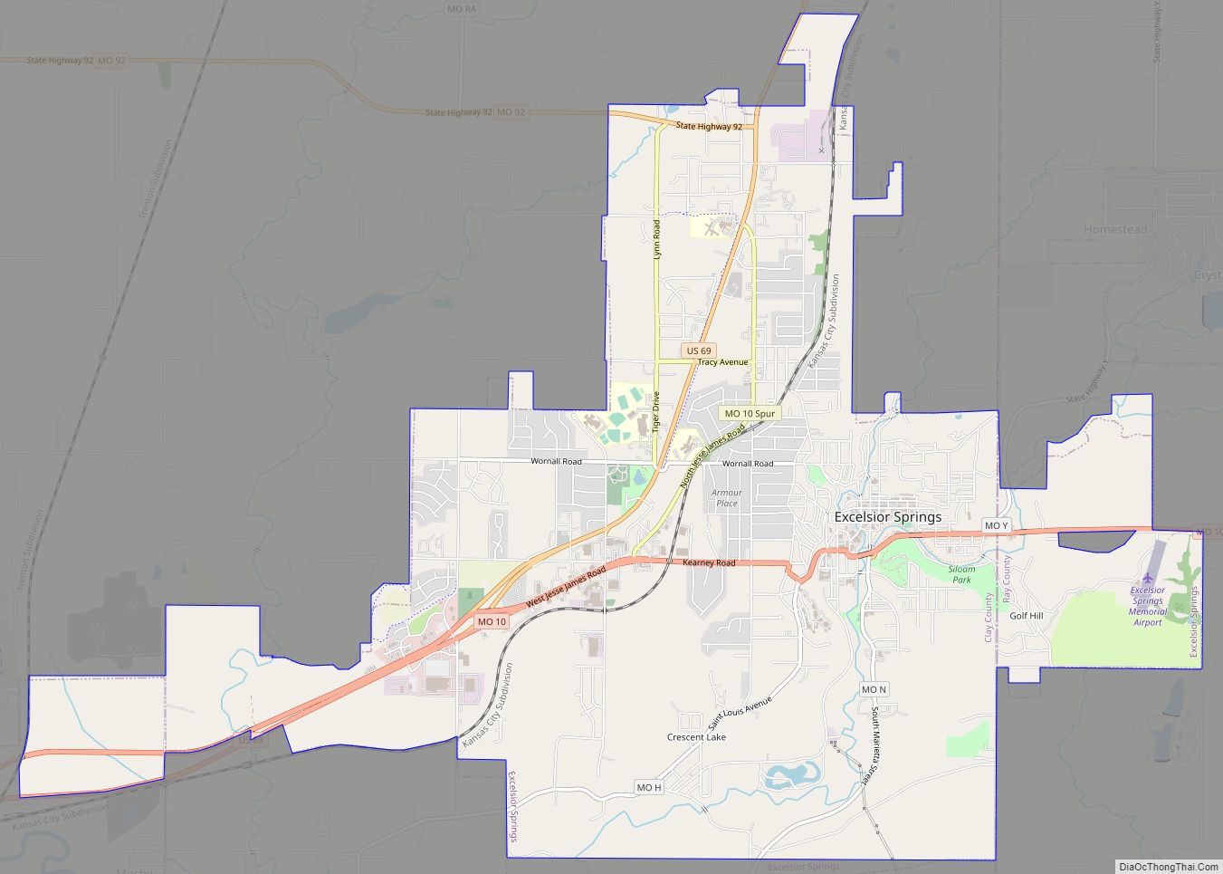
Excelsior Springs is a city in Clay and Ray counties in the U.S. state of Missouri and part of the Kansas City metropolitan area. The population was 10,553 at the 2020 census. It is located approximately 30 miles (48 km) northeast of central Kansas City, Missouri. Excelsior Springs city overview: Name: Excelsior Springs city LSAD Code: ... Read more
Fairfax is a city in Clark Township, Atchison County, Missouri, United States. The population was 648 at the 2020 census. Fairfax city overview: Name: Fairfax city LSAD Code: 25 LSAD Description: city (suffix) State: Missouri County: Atchison County Elevation: 922 ft (281 m) Total Area: 0.47 sq mi (1.22 km²) Land Area: 0.47 sq mi (1.21 km²) Water Area: 0.01 sq mi (0.01 km²) Total Population: ... Read more
