Exeter is a city in Exeter Township, Barry County, Missouri, United States. The population was 772 at the 2010 census.
| Name: | Exeter city |
|---|---|
| LSAD Code: | 25 |
| LSAD Description: | city (suffix) |
| State: | Missouri |
| County: | Barry County |
| Elevation: | 1,549 ft (472 m) |
| Total Area: | 0.79 sq mi (2.05 km²) |
| Land Area: | 0.79 sq mi (2.05 km²) |
| Water Area: | 0.00 sq mi (0.00 km²) |
| Total Population: | 733 |
| Population Density: | 927.85/sq mi (358.16/km²) |
| ZIP code: | 65647 |
| Area code: | 417 |
| FIPS code: | 2923122 |
| GNISfeature ID: | 2394719 |
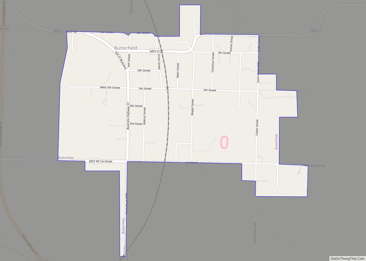
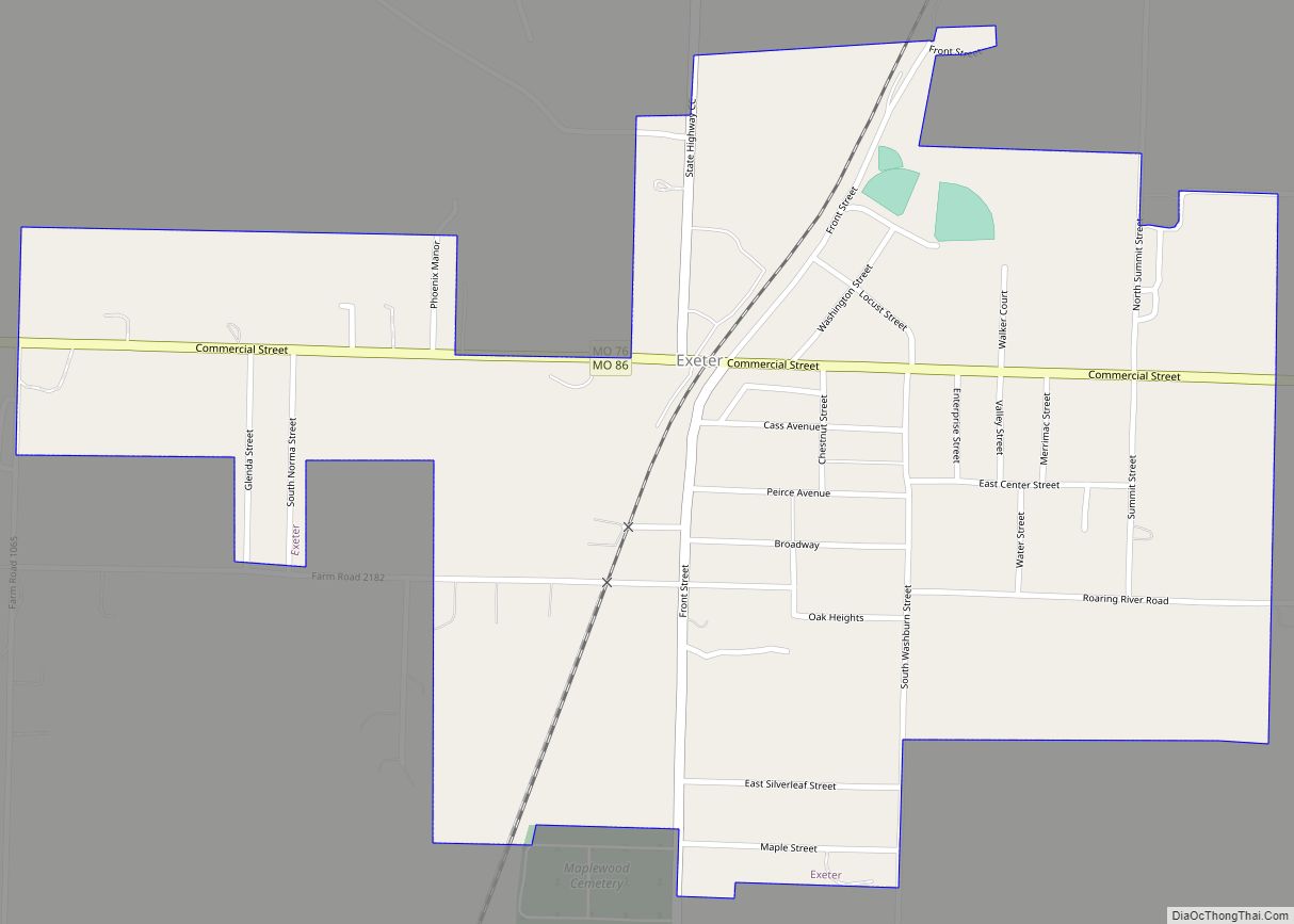
Online Interactive Map
Click on ![]() to view map in "full screen" mode.
to view map in "full screen" mode.
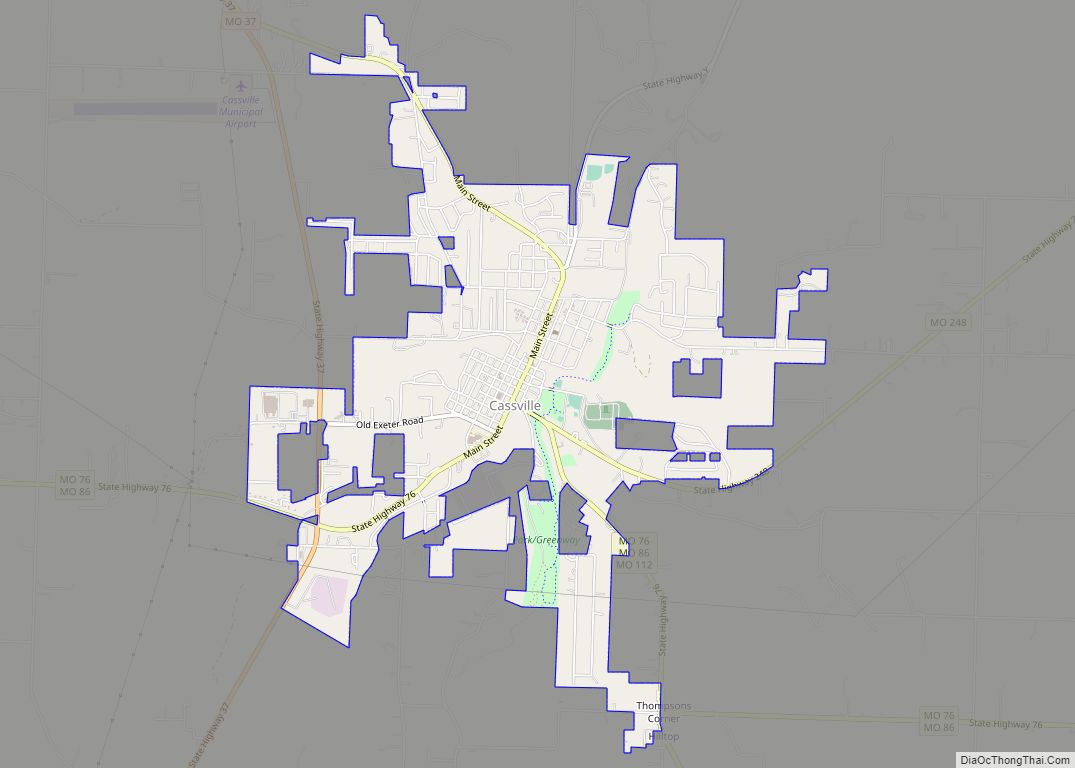
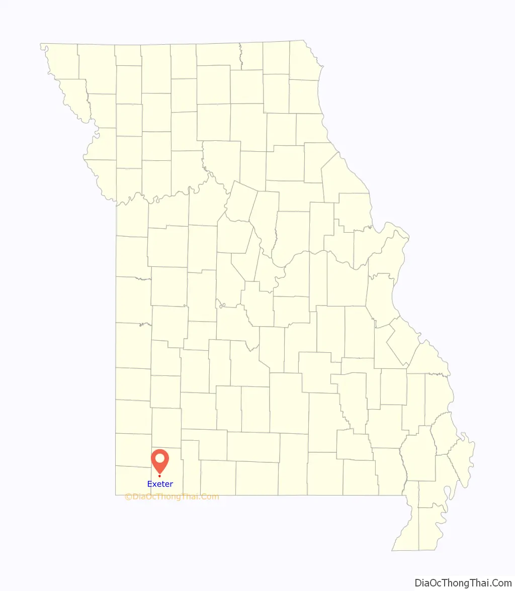
Exeter location map. Where is Exeter city?

History
Exeter was platted in 1880. The city was named after Exeter in Devon, England.
The Frisco rail line ran through much of the Ozarks, including Exeter, bringing in tourists on their way to resorts, such as Mineral Springs. In 1896, the shortest railway in the country was built to connect Exeter and Cassville. It served as the main way into Cassville during the harsh winters that made many roads impassable. The rail-line was named “The Cassville and Western Railroad.” Because the railway ran only 4.8 miles one-way, the railway had to rely on steam power to travel uphill back to Exeter. Since Exeter is the highest point in the county, it was able to use gravity to coast back downhill to Cassville During its economic height, a hotel called The Palace was also built in Exeter as well as a flour mill. A massive fire broke out and burned the downtown on Oct. 21st, 1927. The railroad went bankrupt in 1956. In the 1950s, there was an Exeter’s Farmer Exchange, a market, and a post office. The post office has been in operation at Exeter since 1880.
Notable people born in Exeter include Major League baseball player Ed Hawk and professional bull rider Mason Lowe. The Exeter High School Boys Basketball team won the state championship in 1963. The Exeter High School Girls Basketball team won the state championship in 2009.
Exeter Road Map
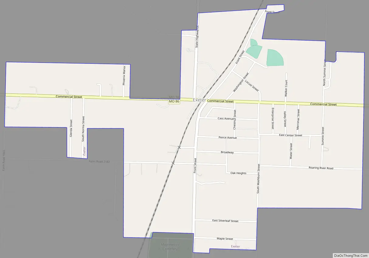
Exeter city Satellite Map

Geography
According to the United States Census Bureau, the city has a total area of 0.79 square miles (2.05 km), all land.
See also
Map of Missouri State and its subdivision:- Adair
- Andrew
- Atchison
- Audrain
- Barry
- Barton
- Bates
- Benton
- Bollinger
- Boone
- Buchanan
- Butler
- Caldwell
- Callaway
- Camden
- Cape Girardeau
- Carroll
- Carter
- Cass
- Cedar
- Chariton
- Christian
- Clark
- Clay
- Clinton
- Cole
- Cooper
- Crawford
- Dade
- Dallas
- Daviess
- De Kalb
- Dent
- Douglas
- Dunklin
- Franklin
- Gasconade
- Gentry
- Greene
- Grundy
- Harrison
- Henry
- Hickory
- Holt
- Howard
- Howell
- Iron
- Jackson
- Jasper
- Jefferson
- Johnson
- Knox
- Laclede
- Lafayette
- Lawrence
- Lewis
- Lincoln
- Linn
- Livingston
- Macon
- Madison
- Maries
- Marion
- McDonald
- Mercer
- Miller
- Mississippi
- Moniteau
- Monroe
- Montgomery
- Morgan
- New Madrid
- Newton
- Nodaway
- Oregon
- Osage
- Ozark
- Pemiscot
- Perry
- Pettis
- Phelps
- Pike
- Platte
- Polk
- Pulaski
- Putnam
- Ralls
- Randolph
- Ray
- Reynolds
- Ripley
- Saint Charles
- Saint Clair
- Saint Francois
- Saint Louis
- Sainte Genevieve
- Saline
- Schuyler
- Scotland
- Scott
- Shannon
- Shelby
- Stoddard
- Stone
- Sullivan
- Taney
- Texas
- Vernon
- Warren
- Washington
- Wayne
- Webster
- Worth
- Wright
- Alabama
- Alaska
- Arizona
- Arkansas
- California
- Colorado
- Connecticut
- Delaware
- District of Columbia
- Florida
- Georgia
- Hawaii
- Idaho
- Illinois
- Indiana
- Iowa
- Kansas
- Kentucky
- Louisiana
- Maine
- Maryland
- Massachusetts
- Michigan
- Minnesota
- Mississippi
- Missouri
- Montana
- Nebraska
- Nevada
- New Hampshire
- New Jersey
- New Mexico
- New York
- North Carolina
- North Dakota
- Ohio
- Oklahoma
- Oregon
- Pennsylvania
- Rhode Island
- South Carolina
- South Dakota
- Tennessee
- Texas
- Utah
- Vermont
- Virginia
- Washington
- West Virginia
- Wisconsin
- Wyoming