Eureka is a city located in St. Louis County, Missouri, United States, adjacent to the cities of Wildwood and Pacific, along Interstate 44. It is in the extreme southwest of the Greater St. Louis metro area. As of the 2020 census, the city had a population of 11,646. Since 1971, Eureka has been known as the home of the amusement park Six Flags St. Louis.
| Name: | Eureka city |
|---|---|
| LSAD Code: | 25 |
| LSAD Description: | city (suffix) |
| State: | Missouri |
| County: | St. Louis County |
| Elevation: | 476 ft (145 m) |
| Total Area: | 11.22 sq mi (29.06 km²) |
| Land Area: | 11.05 sq mi (28.62 km²) |
| Water Area: | 0.17 sq mi (0.44 km²) |
| Total Population: | 11,646 |
| Population Density: | 1,053.75/sq mi (406.85/km²) |
| ZIP code: | 63025 |
| Area code: | 636 |
| FIPS code: | 2922834 |
| GNISfeature ID: | 2394707 |
Online Interactive Map
Click on ![]() to view map in "full screen" mode.
to view map in "full screen" mode.
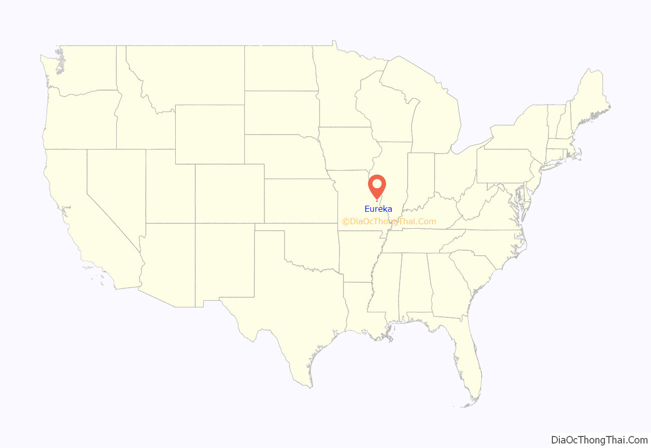
Eureka location map. Where is Eureka city?
History
The area’s first known inhabitants were Shawnee Native Americans on the banks of the Meramec river; archaeological artifacts can still be found today as evidence of their past occupation of the area.
The village of Eureka was platted in 1858 along the route of the Pacific Railroad. By 1890, the village consisted of about 100 homes. According to the Eureka, railroad workers, while clearing the way for the track and the next railroad camp, saw Eureka, level land with little to clear, and declared, “Eureka!” Greek meaning “I have found it.” Thus, Eureka was founded. In 1898, Eureka became home to the St. Louis Children’s Industrial Farm, established to give children from St. Louis tenement neighborhoods a chance to experience life in a rural setting. It later became Camp Wyman (now part of Wyman Center) and is one of the oldest camps in the United States. The first high school class in Eureka was held in 1909. Eureka was incorporated as a fourth-class city on April 7, 1954.
City of Allenton
The railroad town of Allenton is a former community on U.S. Route 66 located (now) at the junction of Interstate 44 and Business Loop 44 in western St. Louis County. In 1985, it was annexed by the city of Eureka. The town is currently rural, with adjacent farmland and forested Ozark ridges. This community was declared blighted by St. Louis County in 1973.
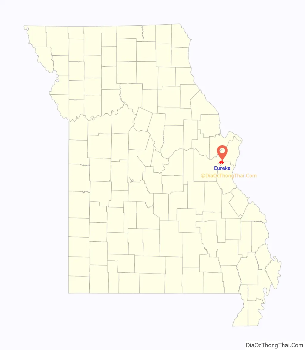
Eureka Road Map

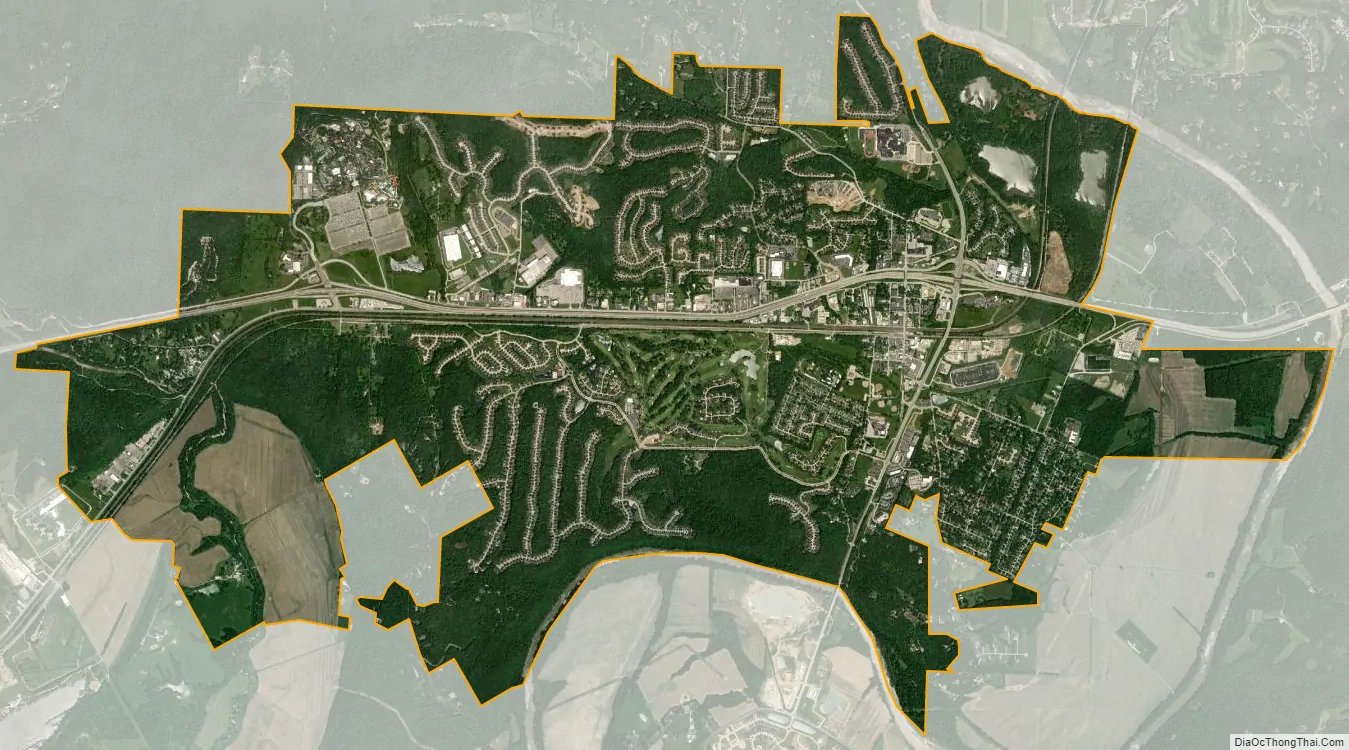
Eureka city Satellite Map
Geography
According to the United States Census Bureau, the city has a total area of 10.45 square miles (27.07 km), of which 10.35 square miles (26.81 km) is land, and 0.10 square miles (0.26 km) is water.
Floods
The city of Eureka has suffered multiple floods, the two most catastrophic being in 2015 and 2017. This caused the city and U.S. Army Corps of Engineers to evaluate a dozen strategic options, from the use of levees and walls, to buyouts of high-risk properties, to the restoration of flood plain as water storage. Scientific researchers determined that the flooding was a man-made calamity caused in part by “inaccurate Federal Emergency Management Agency flood frequencies based on the assumption that today’s river will behave as it has in the past greatly underestimating our real flood risk and leading to inappropriate development in floodways and floodplains.”
The december 2015 North American storm complex deeply impacted the state of Missouri with heavy rain and snow causing severe floods. The storm system was responsible for heavy rain that caused severe flooding. Parts of the state were hit with over 10 in (250 mm) of heavy rainfall. In Eureka, more than 100 boat rescues were conducted by Eureka Fire Department of people and several pets from the second stories of homes near the Meramec River.
A flooding event caused by a strong spring storm system brought multiple rounds of thunderstorms and heavy rain to portions of the Midwest the weekend of April 29th-30th, 2017. The middle portion of the Mississippi approached historical record flooding. The National Weather Service anticipated a 48.5 ft. crest at Cape Girardeau, Missouri on May 5, 2017, which was within 6 inches of the January 2, 2016 crest of 48.86 ft. The first floor of a church flooded with about 48 inches of water, the same amount as in December 2015. Floodwater from the Meramec River covered athletic fields at Eureka High School, encroached on the school’s buildings, and ruined the gymnasium floor.
See also
Map of Missouri State and its subdivision:- Adair
- Andrew
- Atchison
- Audrain
- Barry
- Barton
- Bates
- Benton
- Bollinger
- Boone
- Buchanan
- Butler
- Caldwell
- Callaway
- Camden
- Cape Girardeau
- Carroll
- Carter
- Cass
- Cedar
- Chariton
- Christian
- Clark
- Clay
- Clinton
- Cole
- Cooper
- Crawford
- Dade
- Dallas
- Daviess
- De Kalb
- Dent
- Douglas
- Dunklin
- Franklin
- Gasconade
- Gentry
- Greene
- Grundy
- Harrison
- Henry
- Hickory
- Holt
- Howard
- Howell
- Iron
- Jackson
- Jasper
- Jefferson
- Johnson
- Knox
- Laclede
- Lafayette
- Lawrence
- Lewis
- Lincoln
- Linn
- Livingston
- Macon
- Madison
- Maries
- Marion
- McDonald
- Mercer
- Miller
- Mississippi
- Moniteau
- Monroe
- Montgomery
- Morgan
- New Madrid
- Newton
- Nodaway
- Oregon
- Osage
- Ozark
- Pemiscot
- Perry
- Pettis
- Phelps
- Pike
- Platte
- Polk
- Pulaski
- Putnam
- Ralls
- Randolph
- Ray
- Reynolds
- Ripley
- Saint Charles
- Saint Clair
- Saint Francois
- Saint Louis
- Sainte Genevieve
- Saline
- Schuyler
- Scotland
- Scott
- Shannon
- Shelby
- Stoddard
- Stone
- Sullivan
- Taney
- Texas
- Vernon
- Warren
- Washington
- Wayne
- Webster
- Worth
- Wright
- Alabama
- Alaska
- Arizona
- Arkansas
- California
- Colorado
- Connecticut
- Delaware
- District of Columbia
- Florida
- Georgia
- Hawaii
- Idaho
- Illinois
- Indiana
- Iowa
- Kansas
- Kentucky
- Louisiana
- Maine
- Maryland
- Massachusetts
- Michigan
- Minnesota
- Mississippi
- Missouri
- Montana
- Nebraska
- Nevada
- New Hampshire
- New Jersey
- New Mexico
- New York
- North Carolina
- North Dakota
- Ohio
- Oklahoma
- Oregon
- Pennsylvania
- Rhode Island
- South Carolina
- South Dakota
- Tennessee
- Texas
- Utah
- Vermont
- Virginia
- Washington
- West Virginia
- Wisconsin
- Wyoming


