Map of Fortescue town

Map of Fortescue town

Fortescue is a village in Holt County, Missouri, United States. The population was 21 at the 2020 census. Fortescue town overview: Name: Fortescue town LSAD Code: 43 LSAD Description: town (suffix) State: Missouri County: Holt County Elevation: 860 ft (260 m) Total Area: 0.08 sq mi (0.20 km²) Land Area: 0.08 sq mi (0.20 km²) Water Area: 0.00 sq mi (0.00 km²) Total Population: 21 Population … Read more

Map of Fort Leonard Wood CDP

Map of Fort Leonard Wood CDP

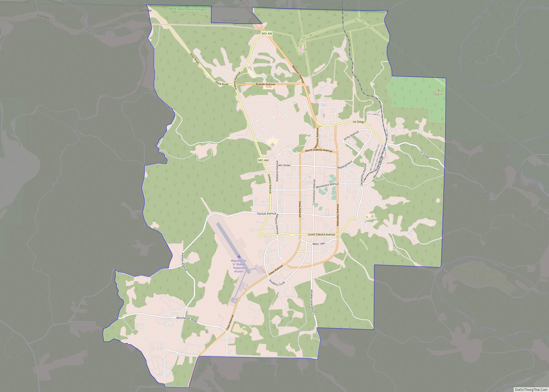
Fort Leonard Wood is a U.S. Army training installation located in the Missouri Ozarks. The main gate is located on the southern boundary of The City of St. Robert. The post was created in December 1940 and named in honor of General Leonard Wood (former Chief of Staff) in January 1941. Originally intended to train … Read more

Map of Frankclay CDP

Map of Frankclay CDP

Frankclay is an unincorporated community and census-designated places in West Central St. Francois County, Missouri, United States. It is located approximately one mile south of Route 8 about five miles west of Flat River. A post office called Frankclay was established in 1905, and remained in operation until 1973. The community has the name of … Read more

Map of Fountain N' Lakes village

Map of Fountain N’ Lakes village

Fountain N’ Lakes is a village in Lincoln County, Missouri, United States. The population was 165 at the 2010 census. Fountain N’ Lakes village overview: Name: Fountain N’ Lakes village LSAD Code: 47 LSAD Description: village (suffix) State: Missouri County: Lincoln County Elevation: 600 ft (200 m) Total Area: 0.13 sq mi (0.33 km²) Land Area: 0.13 sq mi (0.33 km²) Water Area: … Read more

Map of Foster village

Map of Foster village, Missouri

Foster is a village in Bates County, Missouri, and is part of the Kansas City metropolitan area within the United States. The population was 76 at the 2020 census. Foster village overview: Name: Foster village LSAD Code: 47 LSAD Description: village (suffix) State: Missouri County: Bates County Elevation: 843 ft (257 m) Total Area: 0.48 sq mi (1.24 km²) Land … Read more

Map of Fredericktown city

Map of Fredericktown city, Missouri

Fredericktown is a city in and the county seat of Madison County, Missouri, United States, in the northeastern foothills of the St. Francois Mountains. The population was 4,429 at the 2020 census. The city is surrounded on three sides (east, west, and south) by the easternmost parcel of the Mark Twain National Forest. Fredericktown city … Read more

Map of Franklin city, Missouri

Map of Franklin city, Missouri

Franklin is a city in Howard County, Missouri, United States. It is located along the Missouri River in the central part of the state. Located in a rural area, the city had a population of 70 at the 2020 census. It is part of the Columbia, Missouri Metropolitan Statistical Area. As the eastern terminus of … Read more

Map of Frankford city, Missouri

Map of Frankford city, Missouri

Frankford is a city in Pike County, Missouri, United States. The population was 323 at the 2010 census. Frankford city overview: Name: Frankford city LSAD Code: 25 LSAD Description: city (suffix) State: Missouri County: Pike County Elevation: 577 ft (176 m) Total Area: 0.43 sq mi (1.11 km²) Land Area: 0.43 sq mi (1.11 km²) Water Area: 0.00 sq mi (0.00 km²) Total Population: 343 Population … Read more

Map of Freistatt village

Map of Freistatt village

Freistatt is a village in Lawrence County, Missouri, United States. The population was 163 at the 2010 census. Freistatt village overview: Name: Freistatt village LSAD Code: 47 LSAD Description: village (suffix) State: Missouri County: Lawrence County Founded: 1873 Incorporated: 1884 Elevation: 1,339 ft (408 m) Total Area: 0.21 sq mi (0.55 km²) Land Area: 0.21 sq mi (0.55 km²) Water Area: 0.00 sq mi (0.00 km²) … Read more

Map of Freeman city

Map of Freeman city, Missouri

Freeman is a city in Cass County, Missouri, United States. The population was 482 at the 2010 census. It is part of the Kansas City metropolitan area. Freeman city overview: Name: Freeman city LSAD Code: 25 LSAD Description: city (suffix) State: Missouri County: Cass County Elevation: 915 ft (279 m) Total Area: 0.88 sq mi (2.28 km²) Land Area: 0.86 sq mi … Read more

Map of Freeburg village, Missouri

Map of Freeburg village, Missouri

Freeburg is a village in Osage County, Missouri, United States. The population was 409 at the 2020 census. It is part of the Jefferson City, Missouri Metropolitan Statistical Area. Freeburg village overview: Name: Freeburg village LSAD Code: 47 LSAD Description: village (suffix) State: Missouri County: Osage County Elevation: 883 ft (269 m) Total Area: 0.83 sq mi (2.16 km²) Land … Read more

Map of Frohna city

Map of Frohna city

Frohna /ˈfroʊnə/ is a city in Perry County, Missouri, United States. The population was 245 at the 2020 census. Frohna city overview: Name: Frohna city LSAD Code: 25 LSAD Description: city (suffix) State: Missouri County: Perry County Elevation: 568 ft (173 m) Total Area: 0.90 sq mi (2.34 km²) Land Area: 0.90 sq mi (2.34 km²) Water Area: 0.00 sq mi (0.00 km²) Total Population: 245 … Read more