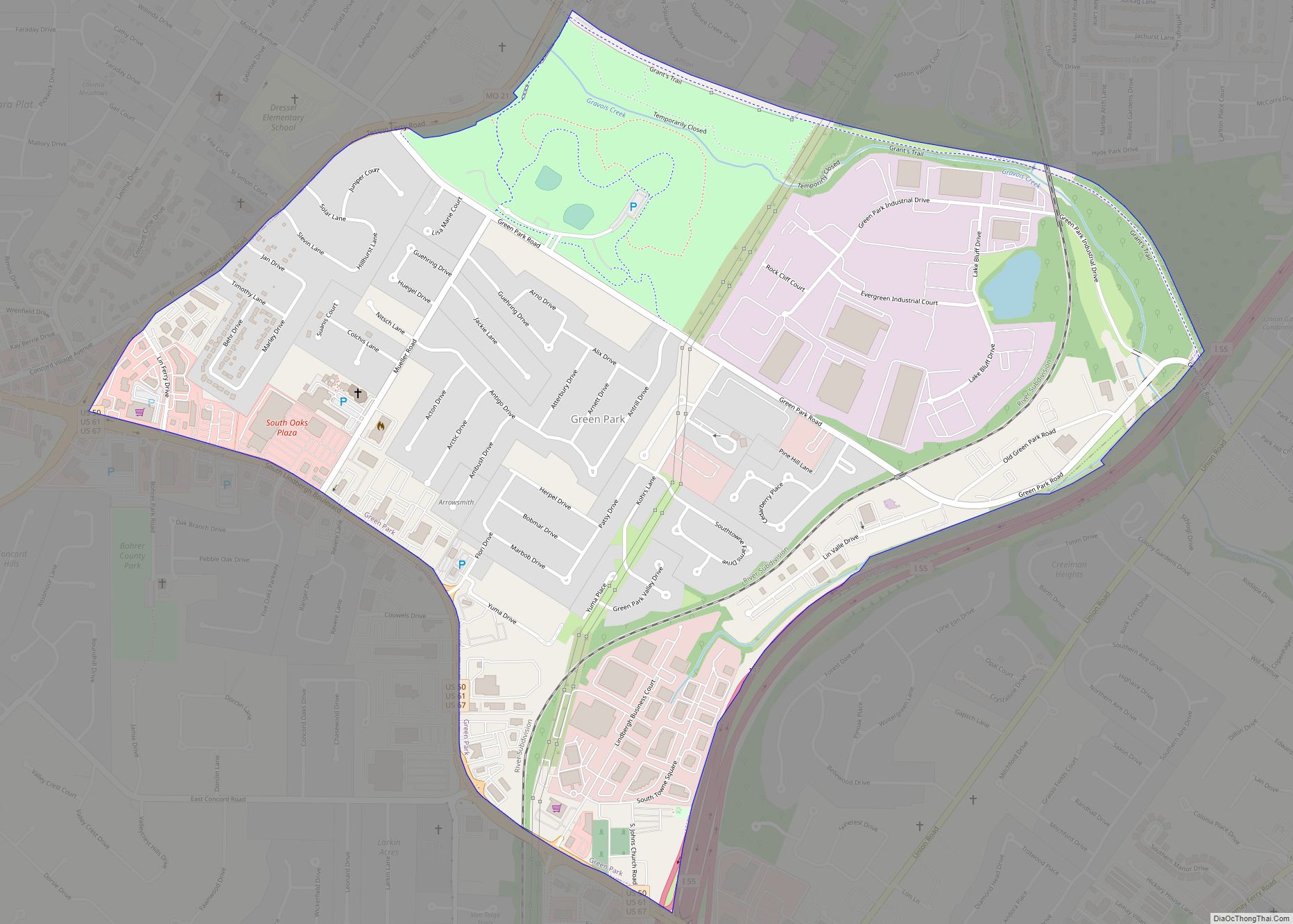
Green Park is a city in St. Louis County, Missouri, United States. The population was 2,622 at the 2010 census. Green Park city overview: Name: Green Park city LSAD Code: 25 LSAD Description: city (suffix) State: Missouri County: St. Louis County Elevation: 535 ft (163 m) Total Area: 1.32 sq mi (3.41 km²) Land Area: 1.31 sq mi (3.39 km²) Water Area: 0.01 sq mi ... Read more
Missouri Cities and Places
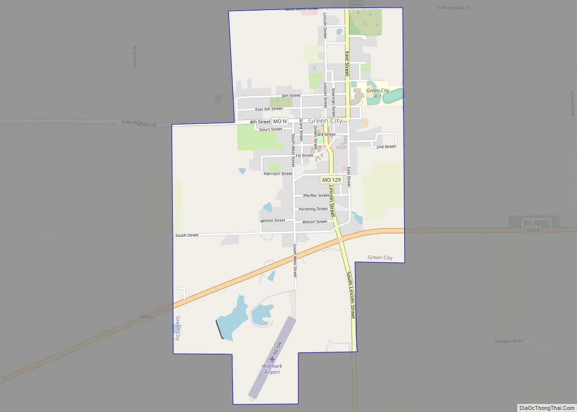
Green City is a city in northeast Sullivan County, Missouri, United States. The population was 657 at the 2010 census. Green City city overview: Name: Green City city LSAD Code: 25 LSAD Description: city (suffix) State: Missouri County: Sullivan County Elevation: 1,056 ft (322 m) Total Area: 1.46 sq mi (3.78 km²) Land Area: 1.43 sq mi (3.71 km²) Water Area: 0.03 sq mi (0.08 km²) ... Read more
Greenfield is a city in Dade County, Missouri. The population was 1,220 at the 2020 census. It is the county seat of Dade County. Greenfield city overview: Name: Greenfield city LSAD Code: 25 LSAD Description: city (suffix) State: Missouri County: Dade County Elevation: 1,093 ft (333 m) Total Area: 1.14 sq mi (2.95 km²) Land Area: 1.14 sq mi (2.94 km²) Water Area: ... Read more
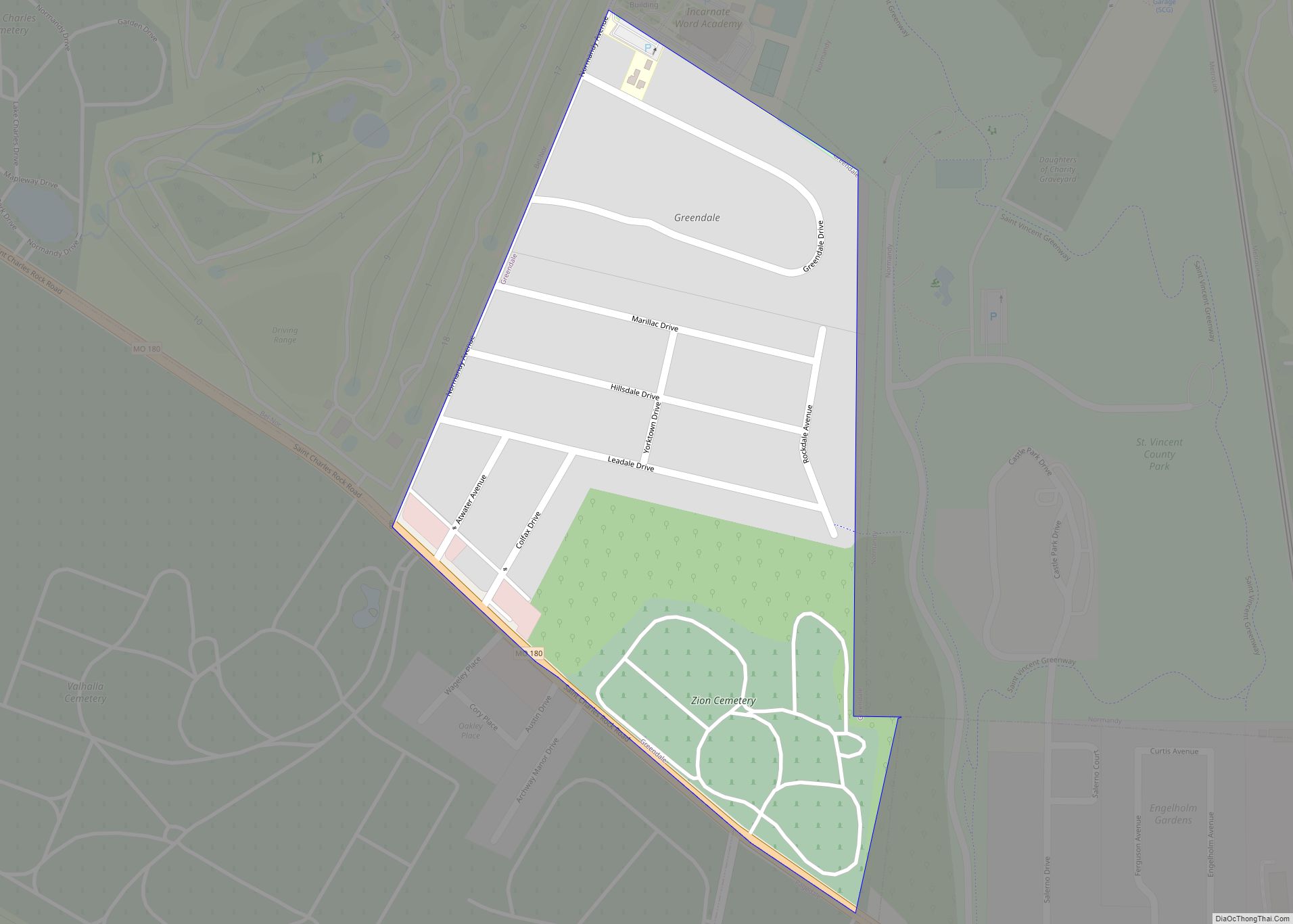
Greendale is a city in St. Louis County, Missouri, United States. The population was 651 at the 2010 census. Greendale city overview: Name: Greendale city LSAD Code: 25 LSAD Description: city (suffix) State: Missouri County: St. Louis County Elevation: 614 ft (187 m) Total Area: 0.19 sq mi (0.50 km²) Land Area: 0.19 sq mi (0.50 km²) Water Area: 0.00 sq mi (0.00 km²) Total Population: ... Read more
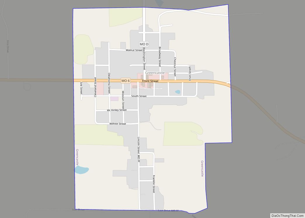
Greencastle is a city in eastern Sullivan County, Missouri, United States. The population was 224 at the 2020 census. Greencastle city overview: Name: Greencastle city LSAD Code: 25 LSAD Description: city (suffix) State: Missouri County: Sullivan County Elevation: 1,047 ft (319 m) Total Area: 0.45 sq mi (1.17 km²) Land Area: 0.45 sq mi (1.16 km²) Water Area: 0.00 sq mi (0.01 km²) Total Population: 224 ... Read more
Greenwood is a city in Jackson and Cass counties in the U.S. state of Missouri. The population was 5,221 at the 2010 census. It is part of the Kansas City metropolitan area. Greenwood city overview: Name: Greenwood city LSAD Code: 25 LSAD Description: city (suffix) State: Missouri County: Jackson County Founded: 1867 Elevation: 915 ft (279 m) ... Read more
Greenville is a city located on U.S. Route 67 near the intersection with Route D and E in Wayne County, Missouri, United States, along the St. Francis River. The population was 443 at the 2020 census. Greenville was incorporated and founded as the county seat of Wayne County in 1819. Greenville city overview: Name: Greenville ... Read more
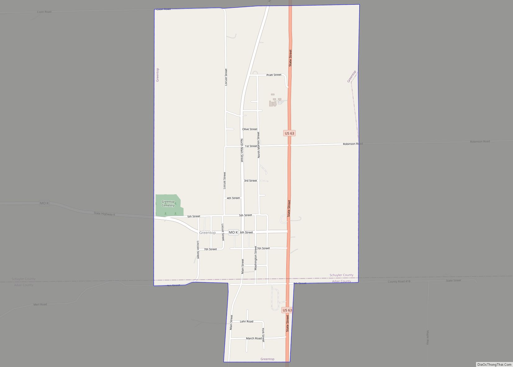
Greentop is a city in Adair and Schuyler counties, Missouri, United States. As of the 2020 census, its population was 388. Greentop city overview: Name: Greentop city LSAD Code: 25 LSAD Description: city (suffix) State: Missouri County: Adair County, Schuyler County Elevation: 984 ft (300 m) Total Area: 0.82 sq mi (2.12 km²) Land Area: 0.82 sq mi (2.12 km²) Water Area: 0.00 sq mi ... Read more
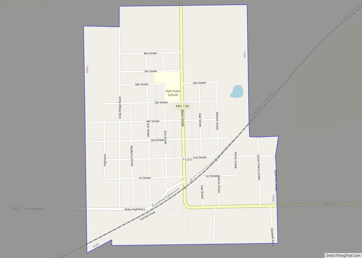
Hale is a city in Carroll County, Missouri, United States. The population was 375 at the 2020 census. Hale city overview: Name: Hale city LSAD Code: 25 LSAD Description: city (suffix) State: Missouri County: Carroll County Elevation: 778 ft (237 m) Total Area: 0.55 sq mi (1.42 km²) Land Area: 0.55 sq mi (1.42 km²) Water Area: 0.00 sq mi (0.00 km²) Total Population: 375 Population ... Read more
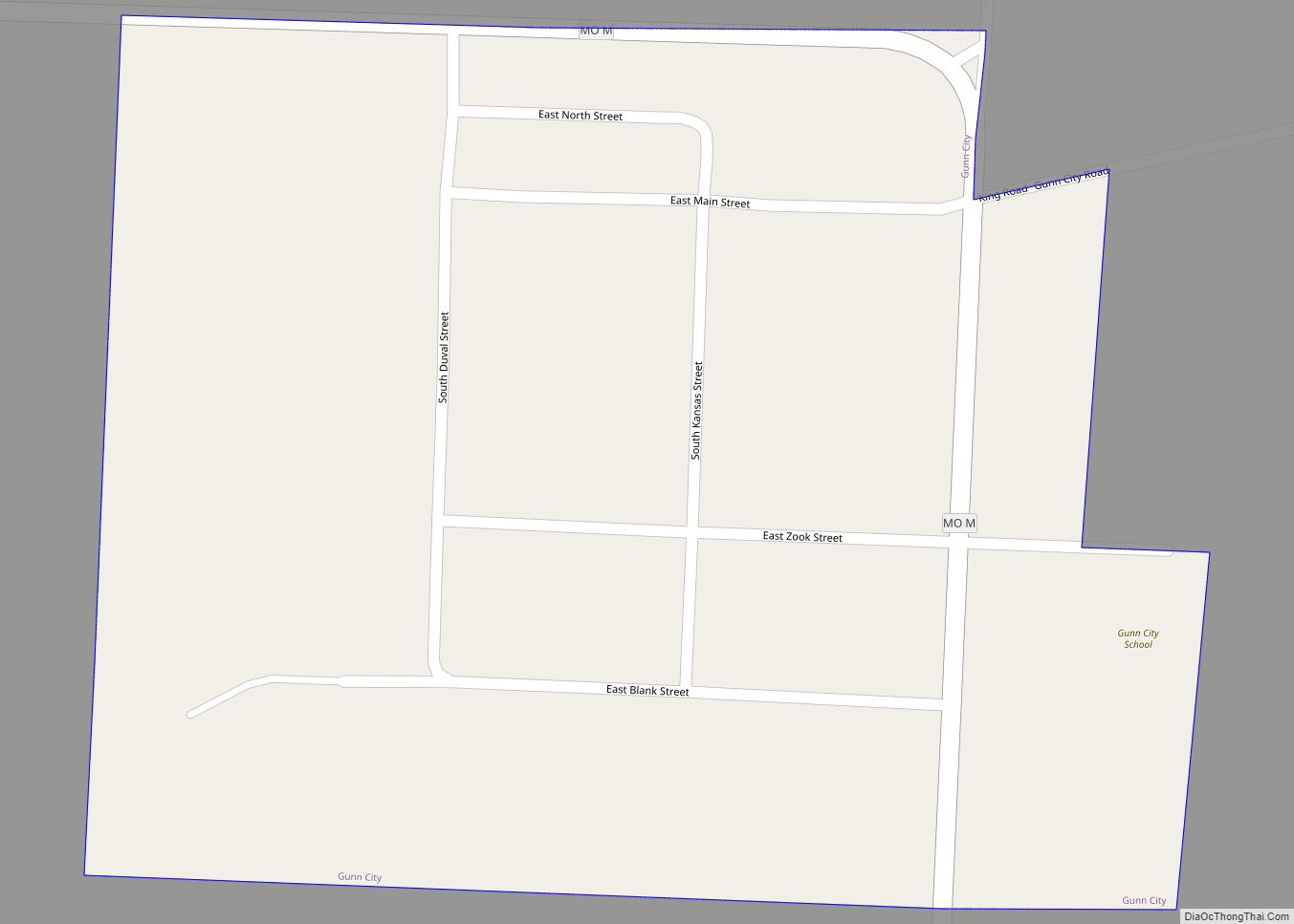
Gunn City is a village in Cass County, Missouri, United States. The population was 118 at the 2010 census. It is part of the Kansas City metropolitan area. Gunn City village overview: Name: Gunn City village LSAD Code: 47 LSAD Description: village (suffix) State: Missouri County: Cass County Elevation: 863 ft (263 m) Total Area: 0.08 sq mi (0.21 km²) ... Read more
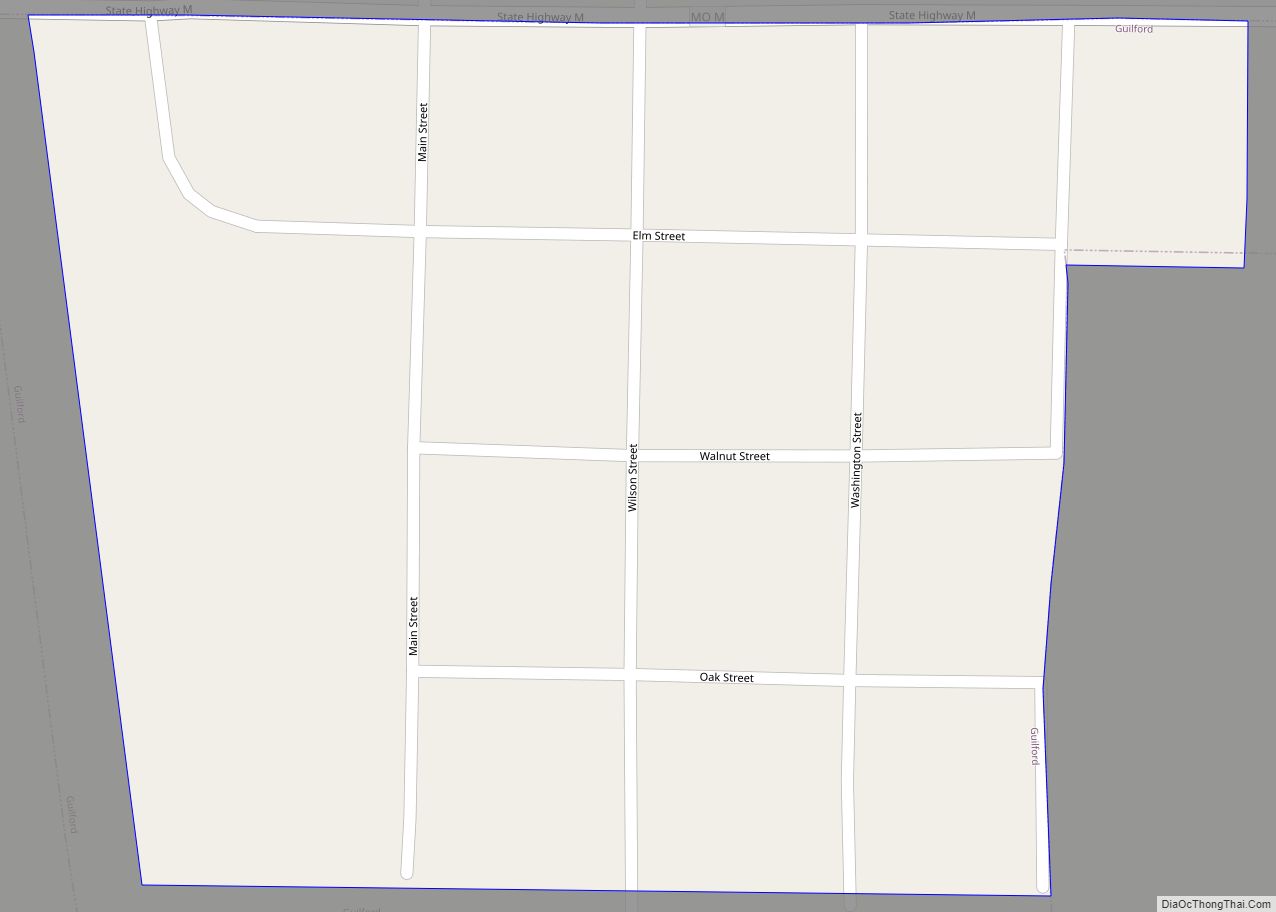
Guilford is a village in Nodaway County, Missouri, United States, near the Platte River. The population was 85 at the 2010 census. Guilford town overview: Name: Guilford town LSAD Code: 43 LSAD Description: town (suffix) State: Missouri County: Nodaway County Elevation: 951 ft (290 m) Total Area: 0.07 sq mi (0.19 km²) Land Area: 0.07 sq mi (0.19 km²) Water Area: 0.00 sq mi (0.00 km²) ... Read more
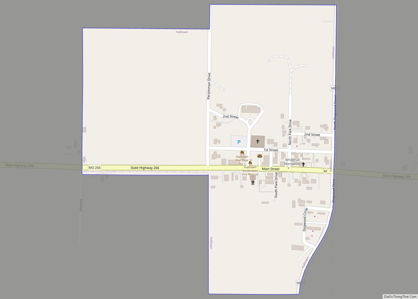
Halltown is a village in Lawrence County, Missouri, United States. The population was 173 at the 2010 census. Halltown village overview: Name: Halltown village LSAD Code: 47 LSAD Description: village (suffix) State: Missouri County: Lawrence County Elevation: 1,175 ft (358 m) Total Area: 0.21 sq mi (0.55 km²) Land Area: 0.21 sq mi (0.55 km²) Water Area: 0.00 sq mi (0.00 km²) Total Population: 104 Population ... Read more
