Greencastle is a city in eastern Sullivan County, Missouri, United States. The population was 224 at the 2020 census.
| Name: | Greencastle city |
|---|---|
| LSAD Code: | 25 |
| LSAD Description: | city (suffix) |
| State: | Missouri |
| County: | Sullivan County |
| Elevation: | 1,047 ft (319 m) |
| Total Area: | 0.45 sq mi (1.17 km²) |
| Land Area: | 0.45 sq mi (1.16 km²) |
| Water Area: | 0.00 sq mi (0.01 km²) |
| Total Population: | 224 |
| Population Density: | 501.12/sq mi (193.52/km²) |
| ZIP code: | 63544 |
| Area code: | 660 |
| FIPS code: | 2929116 |
| GNISfeature ID: | 2394981 |
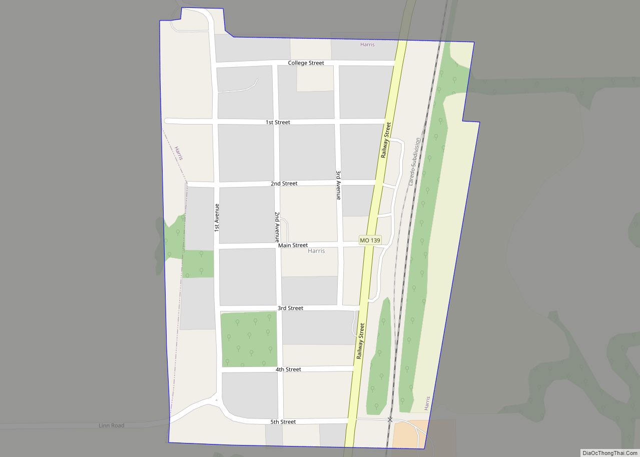
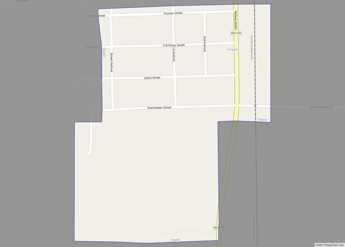
Online Interactive Map
Click on ![]() to view map in "full screen" mode.
to view map in "full screen" mode.
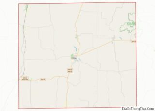
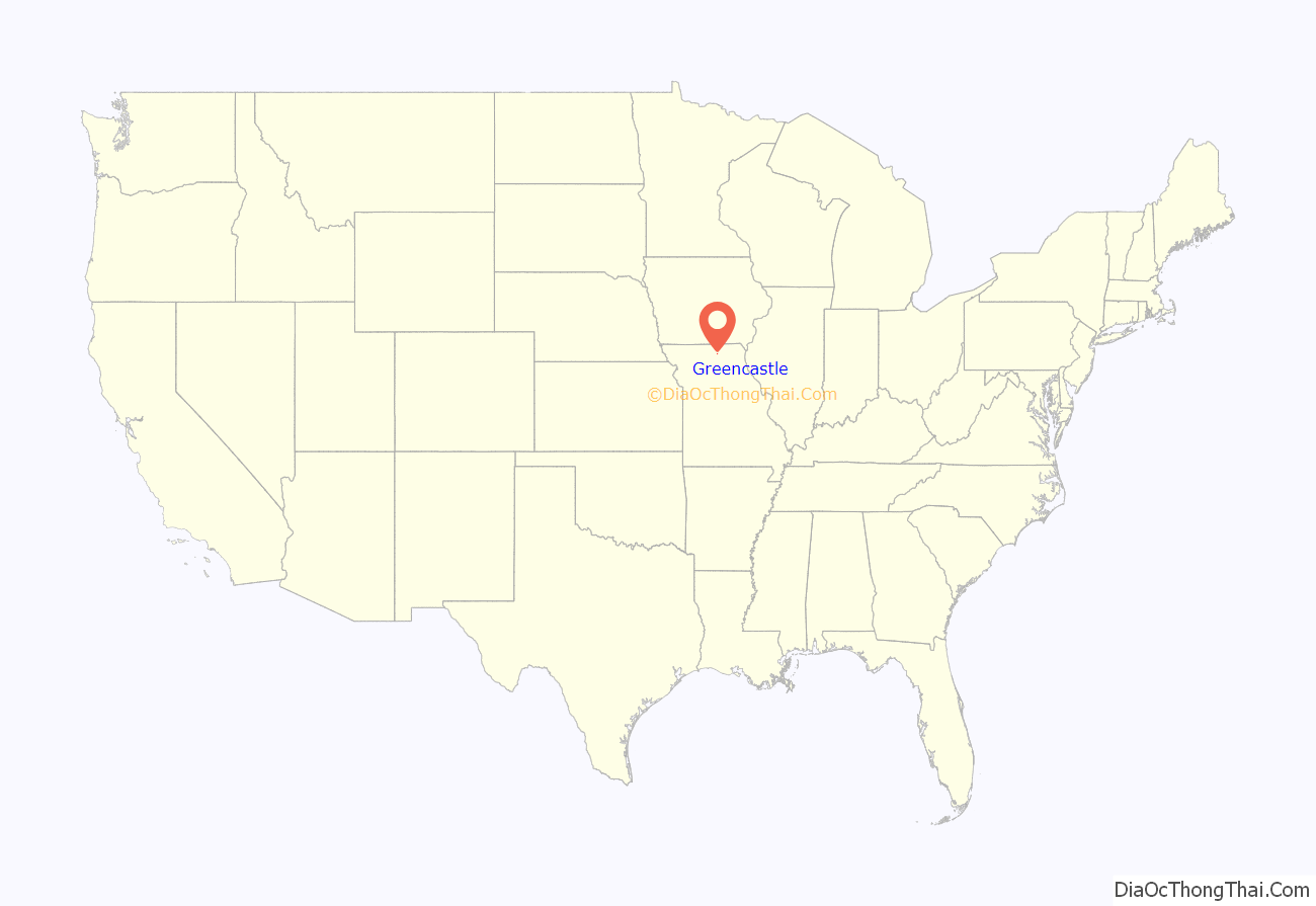
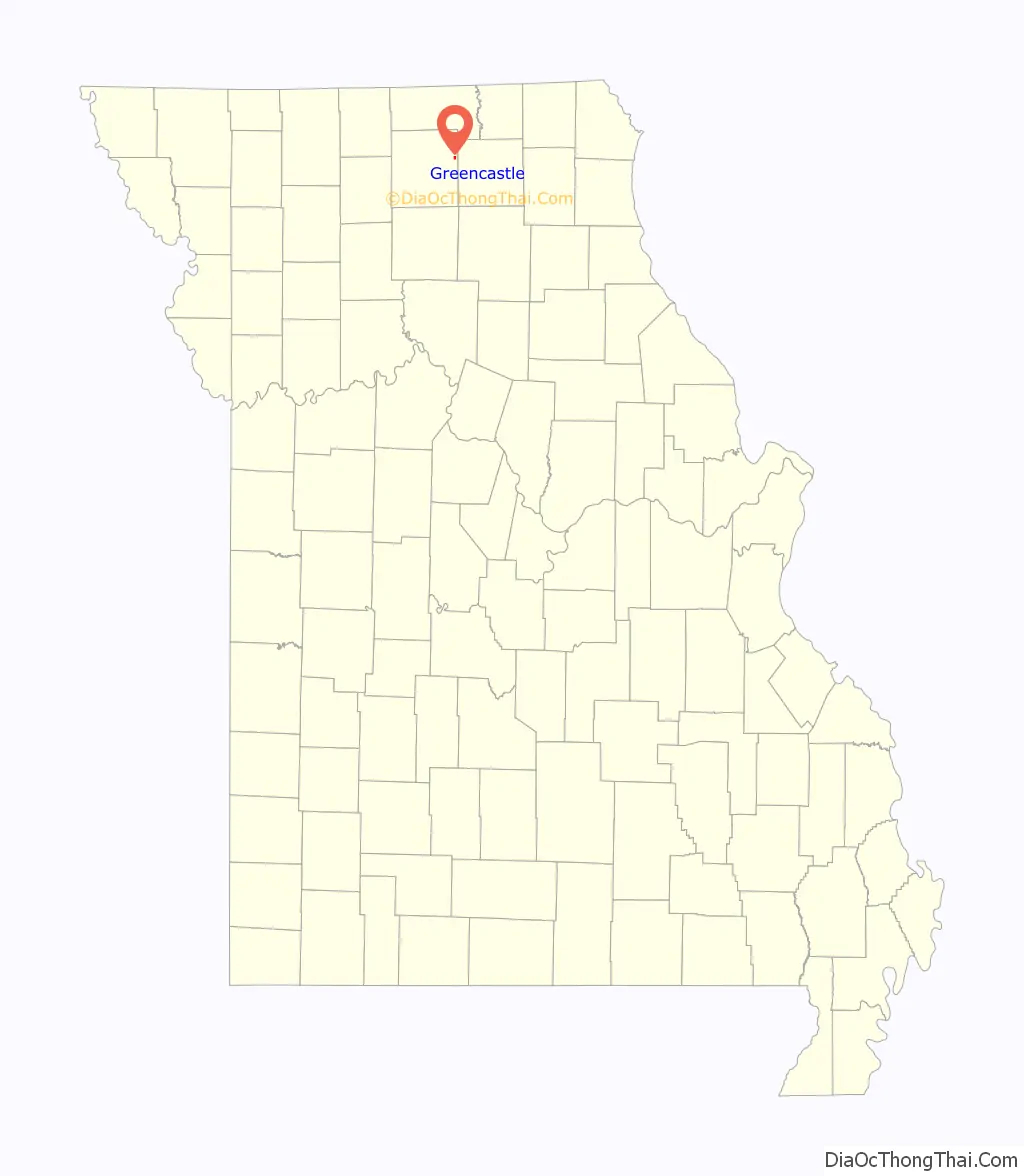
Greencastle location map. Where is Greencastle city?
History
The plat for Greencastle was surveyed on March 12, 1857 at the behest of Victor Doze, Marion Overstreet, E.E. Prindle, I.E. Wood, and M.P. Wood. It consisted of six full blocks and eight half blocks with each block containing eight lots. The area had been inhabited for some time prior to 1857 however, with the first permanent home built on the present site of Greencastle by Marion Sanders circa 1853. Moreover, the Greencastle Methodist Episcopal Church was organized in 1845 and held services just south of the town’s later platted [sic?] location.
The Greencastle post office was established in 1857 with I.E. Wood as first postmaster, followed a short time later by the opening of the new towns’ first general store. Greencastle’s first grist mill was built in 1879 and a newspaper, the Greencastle Independence began publication in 1881. It was also in 1881 that Greencastle was finally incorporated on August 8, 1881. A depot for the Quincy, Missouri, and Pacific Railroad was built in 1883. A creamery was established in 1885 and produced an average of 1,500 pounds of butter per week.
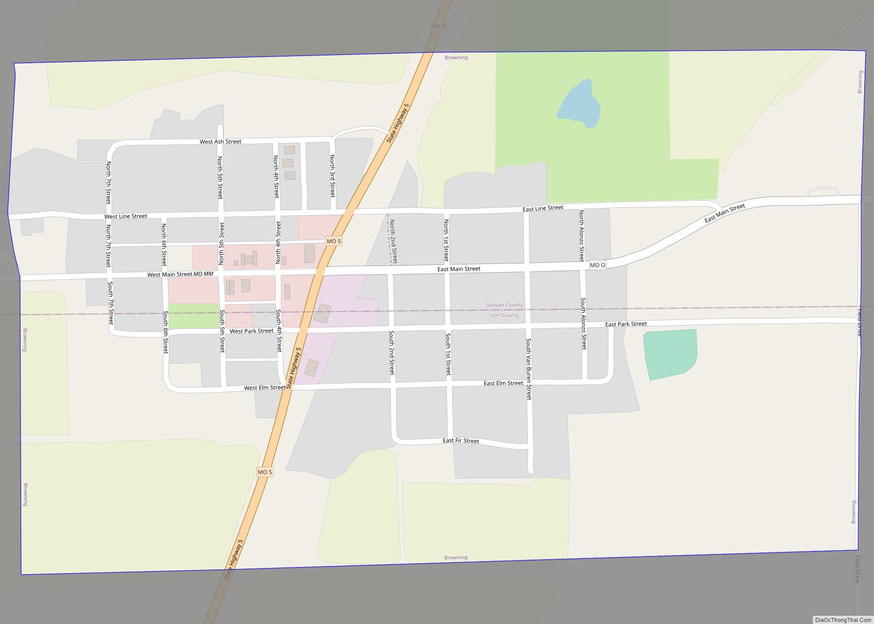
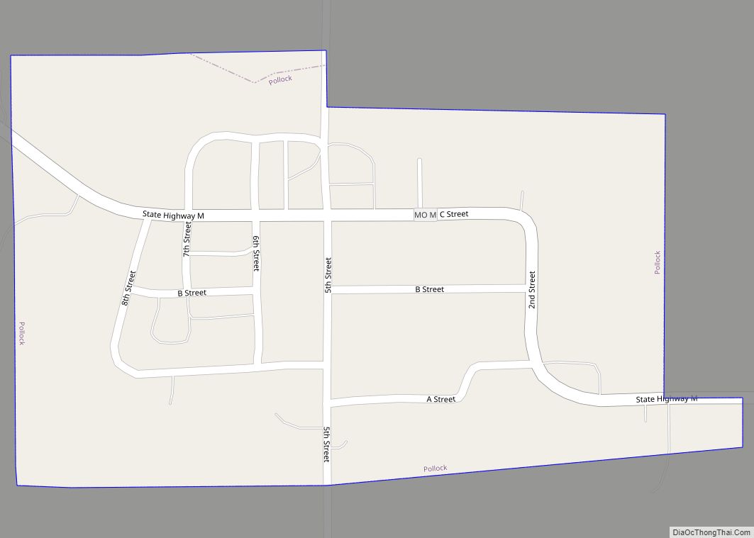
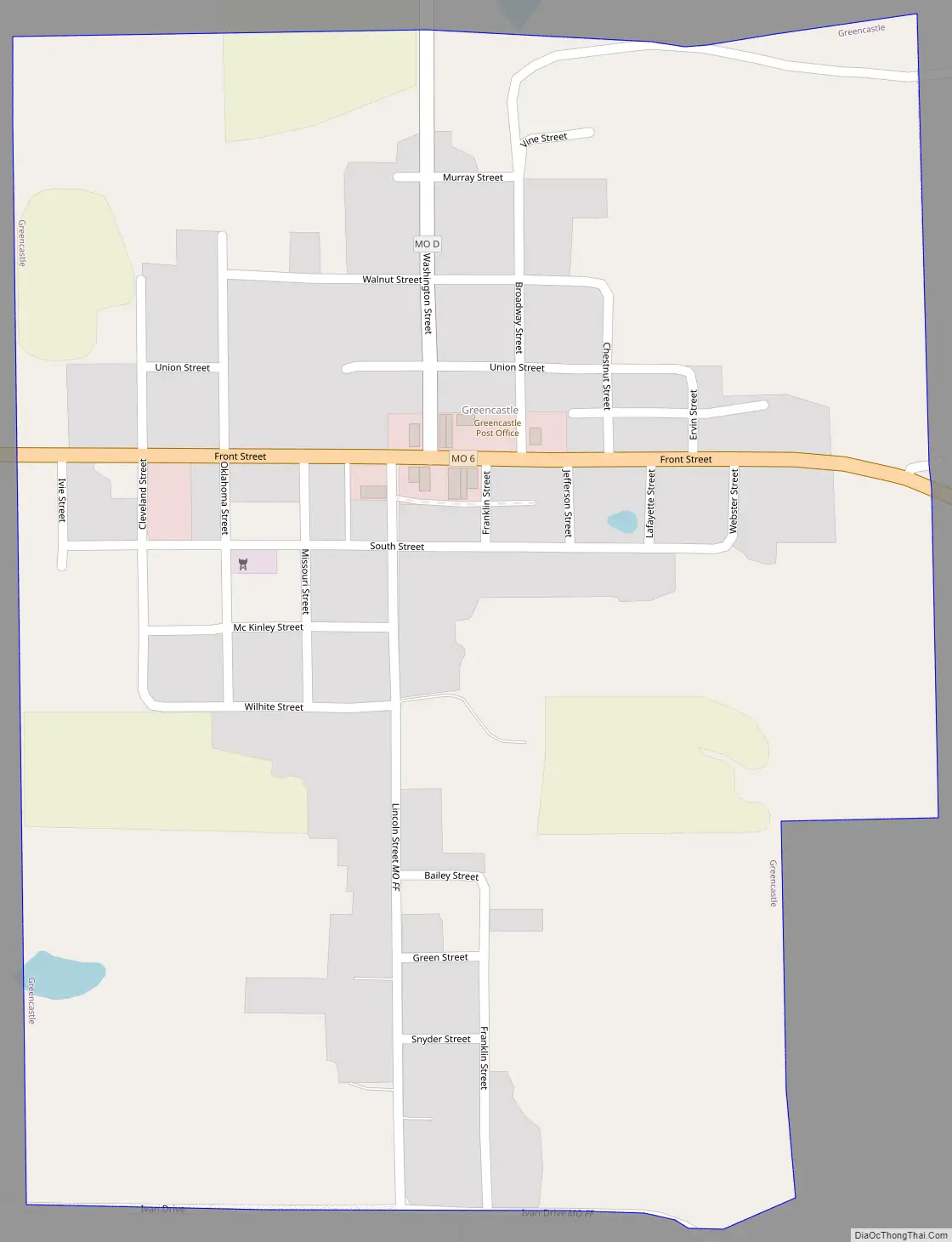
Greencastle Road Map
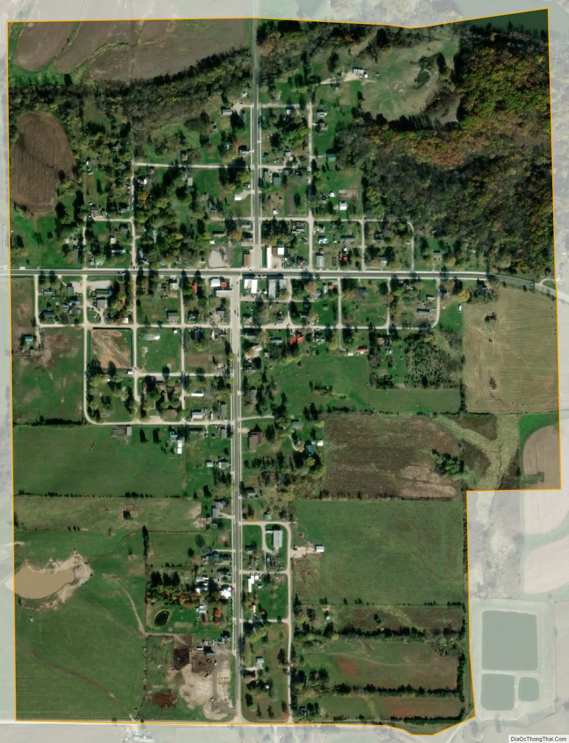
Greencastle city Satellite Map
Geography
Greencastle is located on Missouri Route 6 approximately 13 miles east-northeast of Milan and 15 miles west of Kirksville.
Mussel Fork flows past approximately one mile to the southwest and the Union Ridge Conservation Area on Spring Creek is two miles north on Missouri Route D.
According to the United States Census Bureau, the city has a total area of 0.45 square miles (1.17 km), all land.
See also
Map of Missouri State and its subdivision:- Adair
- Andrew
- Atchison
- Audrain
- Barry
- Barton
- Bates
- Benton
- Bollinger
- Boone
- Buchanan
- Butler
- Caldwell
- Callaway
- Camden
- Cape Girardeau
- Carroll
- Carter
- Cass
- Cedar
- Chariton
- Christian
- Clark
- Clay
- Clinton
- Cole
- Cooper
- Crawford
- Dade
- Dallas
- Daviess
- De Kalb
- Dent
- Douglas
- Dunklin
- Franklin
- Gasconade
- Gentry
- Greene
- Grundy
- Harrison
- Henry
- Hickory
- Holt
- Howard
- Howell
- Iron
- Jackson
- Jasper
- Jefferson
- Johnson
- Knox
- Laclede
- Lafayette
- Lawrence
- Lewis
- Lincoln
- Linn
- Livingston
- Macon
- Madison
- Maries
- Marion
- McDonald
- Mercer
- Miller
- Mississippi
- Moniteau
- Monroe
- Montgomery
- Morgan
- New Madrid
- Newton
- Nodaway
- Oregon
- Osage
- Ozark
- Pemiscot
- Perry
- Pettis
- Phelps
- Pike
- Platte
- Polk
- Pulaski
- Putnam
- Ralls
- Randolph
- Ray
- Reynolds
- Ripley
- Saint Charles
- Saint Clair
- Saint Francois
- Saint Louis
- Sainte Genevieve
- Saline
- Schuyler
- Scotland
- Scott
- Shannon
- Shelby
- Stoddard
- Stone
- Sullivan
- Taney
- Texas
- Vernon
- Warren
- Washington
- Wayne
- Webster
- Worth
- Wright
- Alabama
- Alaska
- Arizona
- Arkansas
- California
- Colorado
- Connecticut
- Delaware
- District of Columbia
- Florida
- Georgia
- Hawaii
- Idaho
- Illinois
- Indiana
- Iowa
- Kansas
- Kentucky
- Louisiana
- Maine
- Maryland
- Massachusetts
- Michigan
- Minnesota
- Mississippi
- Missouri
- Montana
- Nebraska
- Nevada
- New Hampshire
- New Jersey
- New Mexico
- New York
- North Carolina
- North Dakota
- Ohio
- Oklahoma
- Oregon
- Pennsylvania
- Rhode Island
- South Carolina
- South Dakota
- Tennessee
- Texas
- Utah
- Vermont
- Virginia
- Washington
- West Virginia
- Wisconsin
- Wyoming