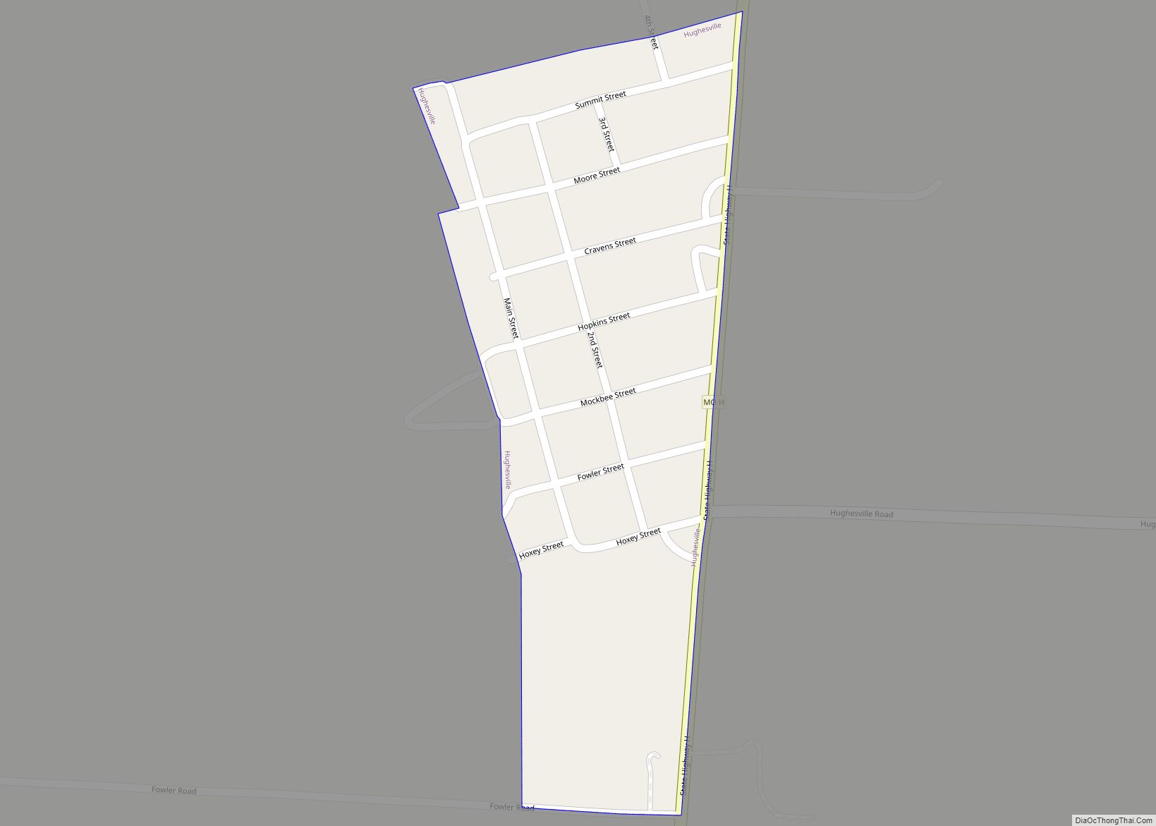
Hughesville is a village in north central Pettis County, Missouri, United States. The population was 183 at the 2010 census. Hughesville village overview: Name: Hughesville village LSAD Code: 47 LSAD Description: village (suffix) State: Missouri County: Pettis County Elevation: 814 ft (248 m) Total Area: 0.12 sq mi (0.30 km²) Land Area: 0.12 sq mi (0.30 km²) Water Area: 0.00 sq mi (0.00 km²) Total Population: ... Read more
Missouri Cities and Places
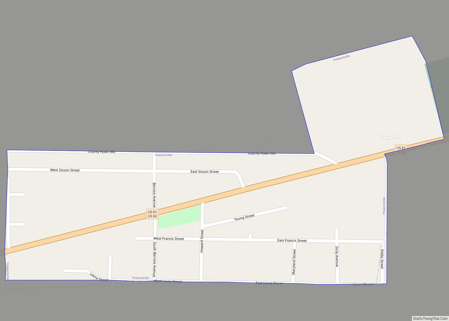
Howardville is a city in New Madrid County, Missouri, United States. The population was 383 at the 2010 census. Howardville city overview: Name: Howardville city LSAD Code: 25 LSAD Description: city (suffix) State: Missouri County: New Madrid County Elevation: 292 ft (89 m) Total Area: 0.23 sq mi (0.59 km²) Land Area: 0.23 sq mi (0.59 km²) Water Area: 0.00 sq mi (0.00 km²) Total Population: ... Read more
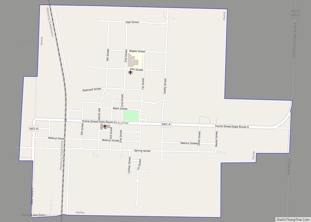
Hume is a city in southwest Bates County, Missouri, and is part of the Kansas City metropolitan area within the United States. The population was 283 at the 2020 census. Hume town overview: Name: Hume town LSAD Code: 43 LSAD Description: town (suffix) State: Missouri County: Bates County Elevation: 896 ft (273 m) Total Area: 0.68 sq mi (1.76 km²) ... Read more
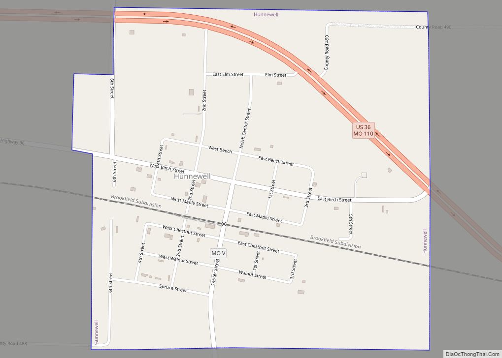
Hunnewell is a city in southeastern Shelby County, Missouri, United States. The population was 139 at the 2020 census. Hunnewell city overview: Name: Hunnewell city LSAD Code: 25 LSAD Description: city (suffix) State: Missouri County: Shelby County Elevation: 755 ft (230 m) Total Area: 0.62 sq mi (1.60 km²) Land Area: 0.62 sq mi (1.60 km²) Water Area: 0.00 sq mi (0.00 km²) Total Population: 139 ... Read more
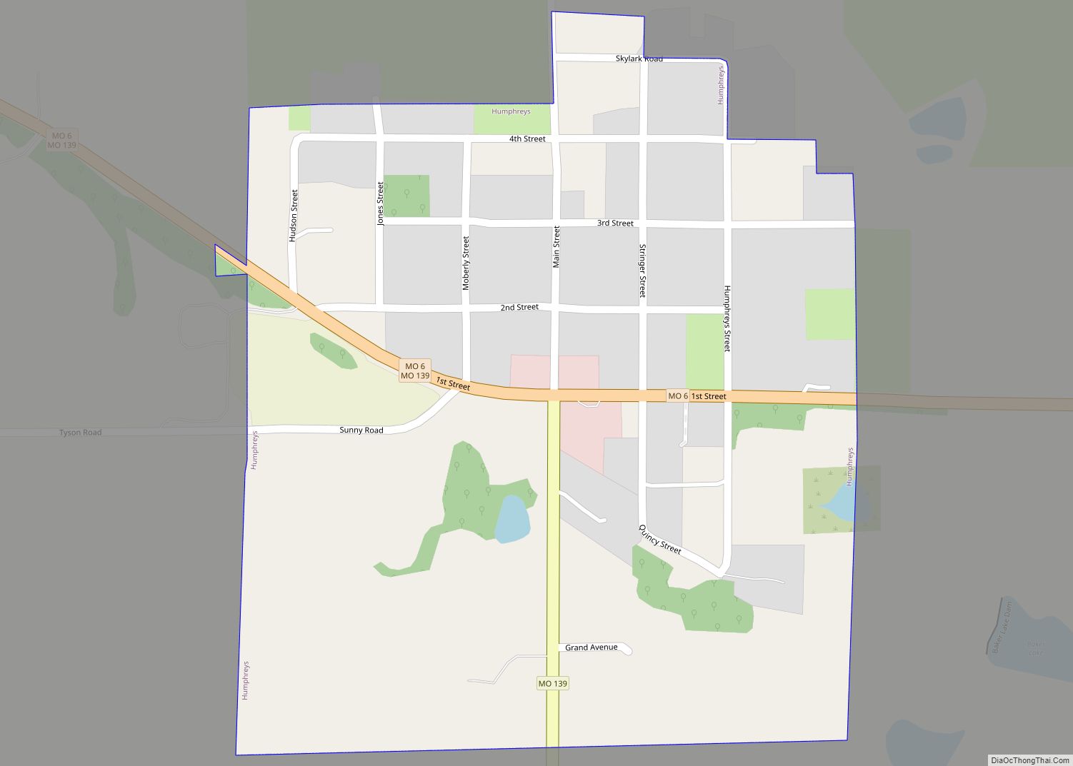
Humphreys is a village in southwest Sullivan County, Missouri, United States. The population was 89 at the 2020 census. Humphreys village overview: Name: Humphreys village LSAD Code: 47 LSAD Description: village (suffix) State: Missouri County: Sullivan County Elevation: 929 ft (283 m) Total Area: 0.25 sq mi (0.65 km²) Land Area: 0.25 sq mi (0.65 km²) Water Area: 0.00 sq mi (0.01 km²) Total Population: 89 ... Read more
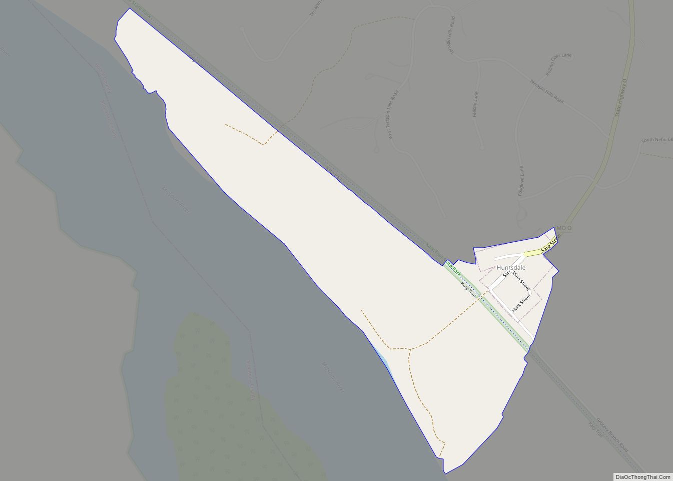
Huntsdale is a village in Boone County, Missouri, United States. It is part of the Columbia, Missouri Metropolitan Statistical Area. The population was 31 at the 2010 census. The village was founded on August 1, 1892 and named after William Burch Hunt, a landowner. Huntsdale was first incorporated in 1906, but that status eventually fell ... Read more
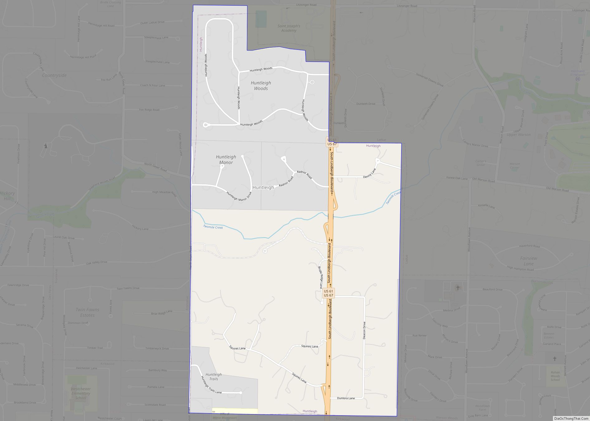
Huntleigh is a city in St. Louis County, Missouri, United States. The population was 334 at the 2010 census. Huntleigh city overview: Name: Huntleigh city LSAD Code: 25 LSAD Description: city (suffix) State: Missouri County: St. Louis County Elevation: 551 ft (168 m) Total Area: 0.99 sq mi (2.57 km²) Land Area: 0.99 sq mi (2.57 km²) Water Area: 0.00 sq mi (0.00 km²) Total Population: ... Read more
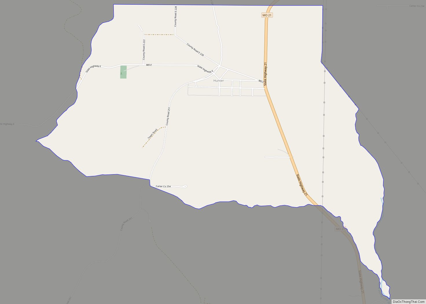
Hunter is an unincorporated community and census-designated place in Carter County, Missouri, United States. As of the 2020 census it had a population of 95. Hunter is located on State Highway 21, approximately 4 miles (6 km) north of the town of Grandin, and is about 3 miles (5 km) east of the Current River. The post ... Read more
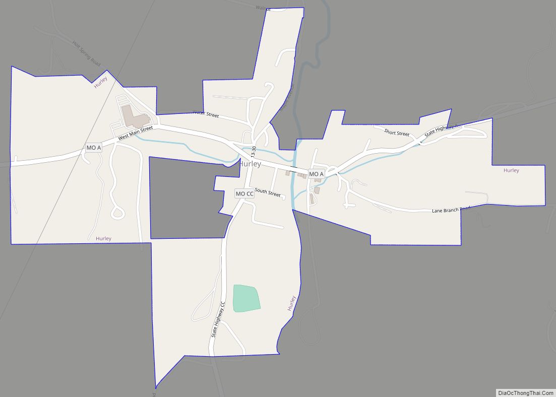
Hurley (formerly, Spring Creek Mill) is a city in Stone County, Missouri, United States. The population was 176 at the 2020 census. It is part of the Branson, Missouri Micropolitan Statistical Area. Hurley city overview: Name: Hurley city LSAD Code: 25 LSAD Description: city (suffix) State: Missouri County: Stone County Elevation: 1,086 ft (331 m) Total Area: ... Read more
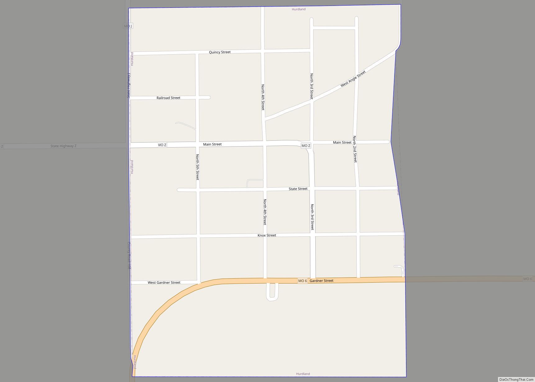
Hurdland is a city in Knox County, Missouri, United States. As of the 2020 census, its population was 155. Hurdland city overview: Name: Hurdland city LSAD Code: 25 LSAD Description: city (suffix) State: Missouri County: Knox County Elevation: 889 ft (271 m) Total Area: 0.33 sq mi (0.86 km²) Land Area: 0.33 sq mi (0.86 km²) Water Area: 0.00 sq mi (0.00 km²) Total Population: 155 ... Read more
Huntsville is a city in Randolph County, Missouri, United States. The population was 1,376 at the 2020 census. It is the county seat of Randolph County. Huntsville city overview: Name: Huntsville city LSAD Code: 25 LSAD Description: city (suffix) State: Missouri County: Randolph County Elevation: 758 ft (231 m) Total Area: 2.32 sq mi (6.00 km²) Land Area: 2.32 sq mi (6.00 km²) ... Read more
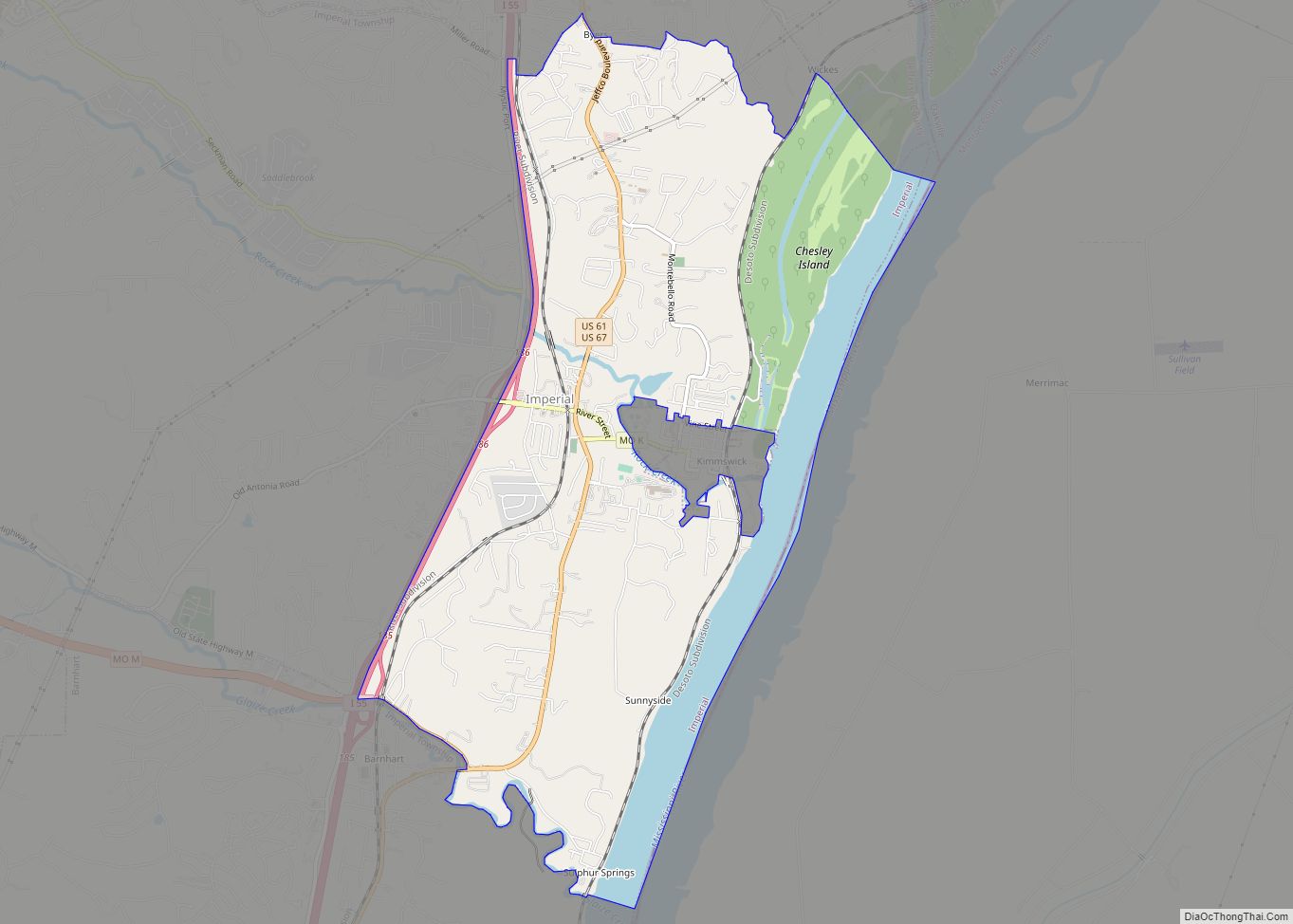
Imperial is a census-designated place (CDP) in Jefferson County, Missouri, United States, and is a suburb of St. Louis. The population was 4,947 at the 2020 census. Imperial was originally known as West Kimmswick, the historic Catholic church of St. John’s in Imperial, became an independent parish in 1869. Imperial CDP overview: Name: Imperial CDP ... Read more
