Humphreys is a village in southwest Sullivan County, Missouri, United States. The population was 89 at the 2020 census.
| Name: | Humphreys village |
|---|---|
| LSAD Code: | 47 |
| LSAD Description: | village (suffix) |
| State: | Missouri |
| County: | Sullivan County |
| Elevation: | 929 ft (283 m) |
| Total Area: | 0.25 sq mi (0.65 km²) |
| Land Area: | 0.25 sq mi (0.65 km²) |
| Water Area: | 0.00 sq mi (0.01 km²) |
| Total Population: | 89 |
| Population Density: | 357.43/sq mi (137.82/km²) |
| ZIP code: | 64646 |
| Area code: | 660 |
| FIPS code: | 2933742 |
| GNISfeature ID: | 2398561 |
Online Interactive Map
Click on ![]() to view map in "full screen" mode.
to view map in "full screen" mode.
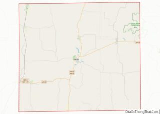
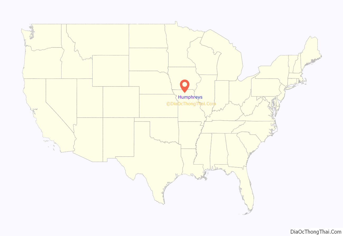
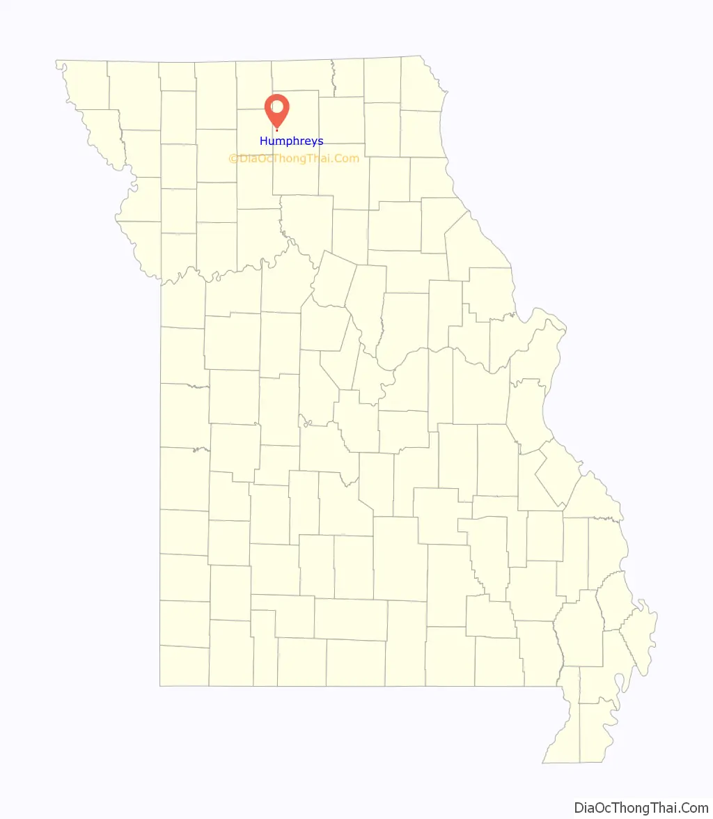
Humphreys location map. Where is Humphreys village?
History
Humphreys, originally known as Haley City, was first surveyed in April 1881 by G.M. Garvey for the Stringer family. When originally established, it consisted of just seventeen blocks with 246 lots. Additions of three blocks and nine blocks were made in January and May 1882, respectively. It was sometime during that spring of 1882 that the town name was changed to Humphreys. The town experienced rapid early growth, being located on the Quincy, Missouri & Pacific Railroad, with the train depot being constructed in August 1881. James Stringer established the first store in June 1881, and by the end of the year the new town supported four hotels, two drug stores, two dry goods stores, a general merchandise, and a millinery. A harness shop joined the business list in 1884 and blacksmiths in 1886 and 1887.
Light industry of a sort came to Humphreys in 1882 with the establishment of the Humphreys Milling Company, a steam-powered flour mill located in a large three-story building. It was said to have produced up to twenty-five barrels of flour per day at peak capacity. The citizenry’s need for news was met by the Humphreys Gazette, a weekly newspaper founded in late 1881 by Joseph S. Wright. The name was changed to the Humphreys Advance in 1884 but the venture ultimately proved unprofitable and publication ceased in August, 1887.
Education
The children of Humphreys were educated in a typical one-room rural schoolhouse, located about three-fourths of a mile northwest of the community until 1885. At that time, the elementary and secondary education were combined with and housed in the building containing the Humphreys College and Business Institute. The College was established in 1884 on four acres of land donated by James M. Stringer. A large two-story brick structure was constructed between June and September 1884, with the first class admission beginning on September 29 of the aforementioned year. Humphreys College was co-education and offered two course tracks of study—preparatory and collegiate, with a reported enrollment in 1887 of 157 students. No dormitories were constructed; however, ample housing was available in the town’s hotels and private homes. Humphreys College and Business Institute was completely destroyed by fire on April 8, 1893.
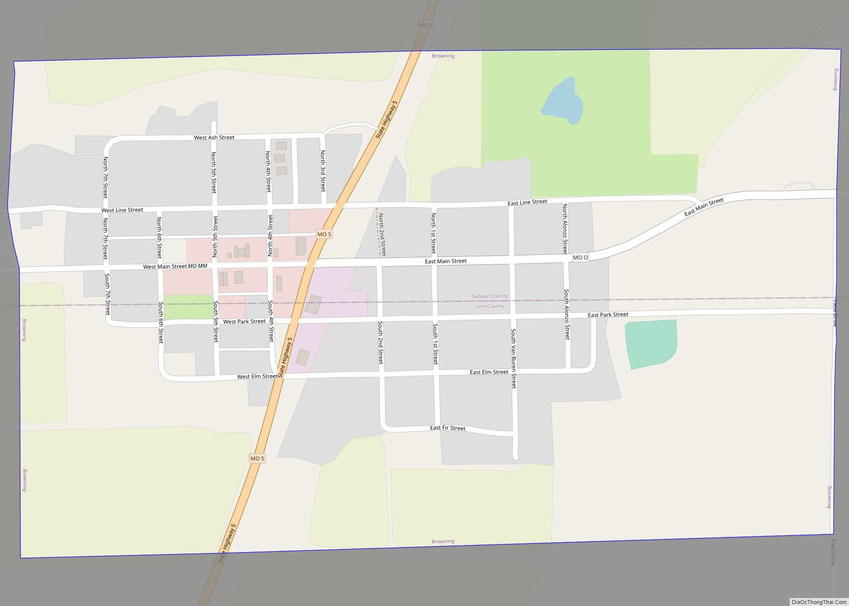
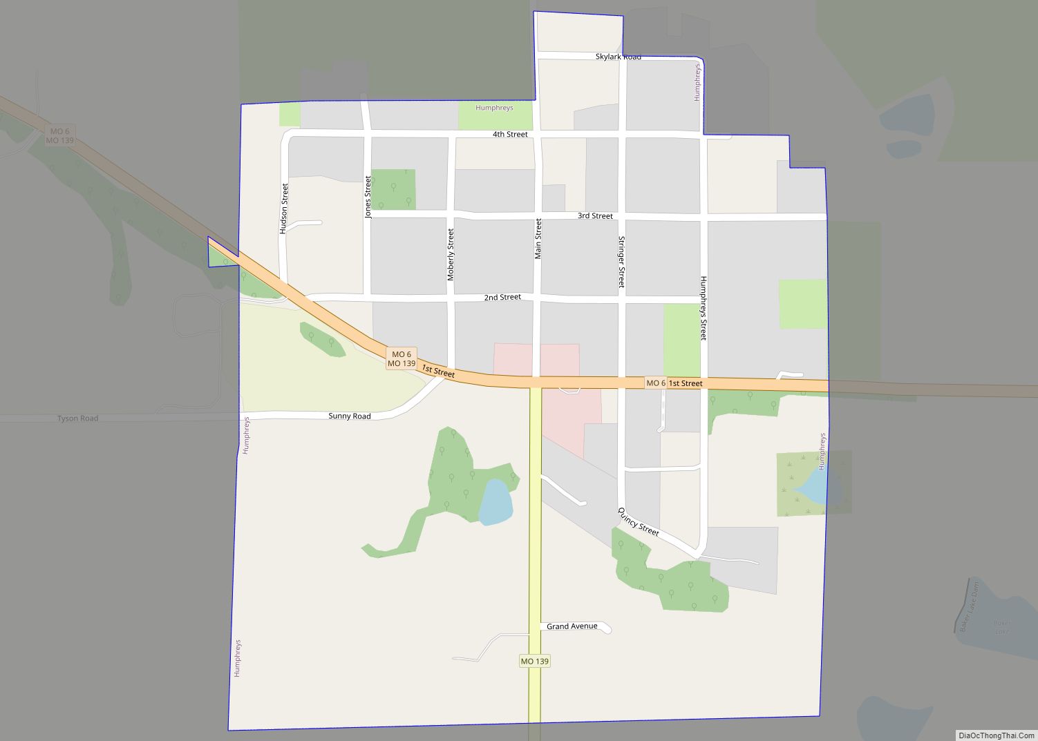
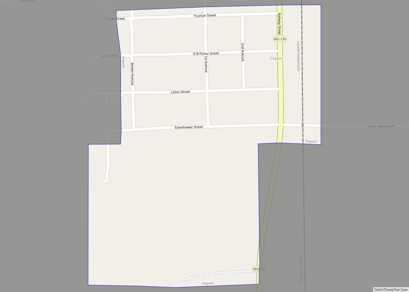
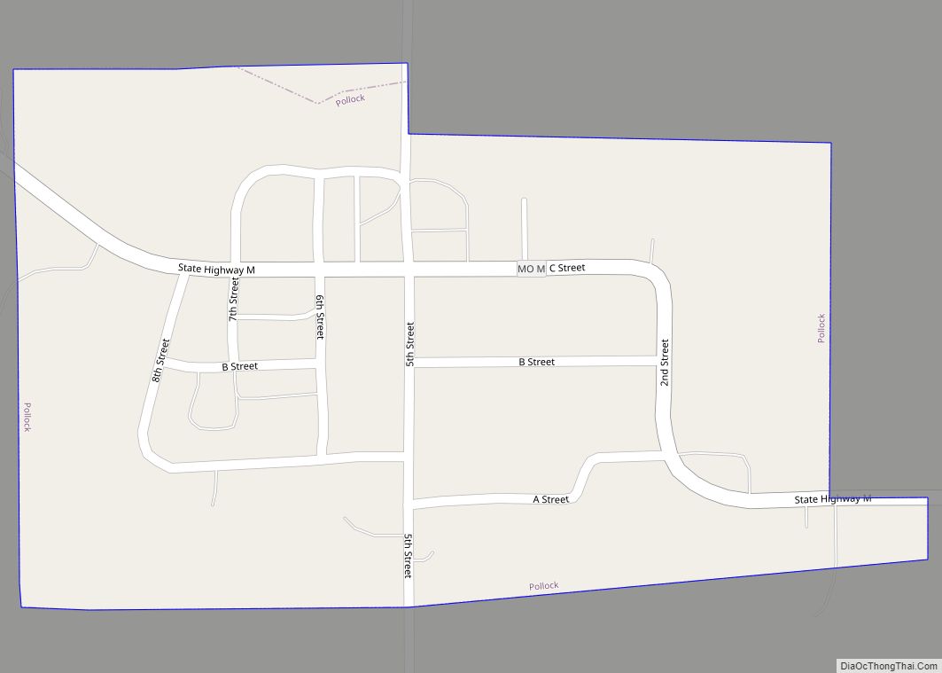
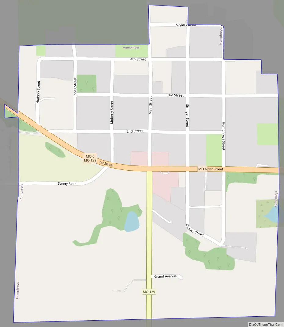
Humphreys Road Map
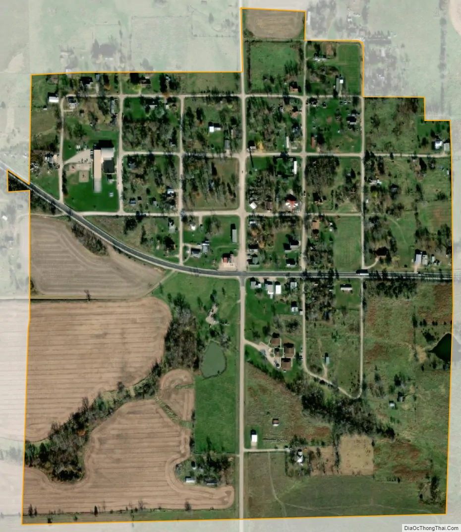
Humphreys city Satellite Map
Geography
Humphreys is located in southwestern Sullivan County. The community is at the intersection of Missouri State Routes 6 and 139. The community of Galt is about four miles to the west in Grundy County. Medicine Creek flows past about three miles to the west and Muddy Creek flows past the east side of the community.
According to the United States Census Bureau, the village has a total area of 0.25 square miles (0.65 km), all land.
See also
Map of Missouri State and its subdivision:- Adair
- Andrew
- Atchison
- Audrain
- Barry
- Barton
- Bates
- Benton
- Bollinger
- Boone
- Buchanan
- Butler
- Caldwell
- Callaway
- Camden
- Cape Girardeau
- Carroll
- Carter
- Cass
- Cedar
- Chariton
- Christian
- Clark
- Clay
- Clinton
- Cole
- Cooper
- Crawford
- Dade
- Dallas
- Daviess
- De Kalb
- Dent
- Douglas
- Dunklin
- Franklin
- Gasconade
- Gentry
- Greene
- Grundy
- Harrison
- Henry
- Hickory
- Holt
- Howard
- Howell
- Iron
- Jackson
- Jasper
- Jefferson
- Johnson
- Knox
- Laclede
- Lafayette
- Lawrence
- Lewis
- Lincoln
- Linn
- Livingston
- Macon
- Madison
- Maries
- Marion
- McDonald
- Mercer
- Miller
- Mississippi
- Moniteau
- Monroe
- Montgomery
- Morgan
- New Madrid
- Newton
- Nodaway
- Oregon
- Osage
- Ozark
- Pemiscot
- Perry
- Pettis
- Phelps
- Pike
- Platte
- Polk
- Pulaski
- Putnam
- Ralls
- Randolph
- Ray
- Reynolds
- Ripley
- Saint Charles
- Saint Clair
- Saint Francois
- Saint Louis
- Sainte Genevieve
- Saline
- Schuyler
- Scotland
- Scott
- Shannon
- Shelby
- Stoddard
- Stone
- Sullivan
- Taney
- Texas
- Vernon
- Warren
- Washington
- Wayne
- Webster
- Worth
- Wright
- Alabama
- Alaska
- Arizona
- Arkansas
- California
- Colorado
- Connecticut
- Delaware
- District of Columbia
- Florida
- Georgia
- Hawaii
- Idaho
- Illinois
- Indiana
- Iowa
- Kansas
- Kentucky
- Louisiana
- Maine
- Maryland
- Massachusetts
- Michigan
- Minnesota
- Mississippi
- Missouri
- Montana
- Nebraska
- Nevada
- New Hampshire
- New Jersey
- New Mexico
- New York
- North Carolina
- North Dakota
- Ohio
- Oklahoma
- Oregon
- Pennsylvania
- Rhode Island
- South Carolina
- South Dakota
- Tennessee
- Texas
- Utah
- Vermont
- Virginia
- Washington
- West Virginia
- Wisconsin
- Wyoming