Map of Argyle town, Missouri

Map of Argyle town, Missouri

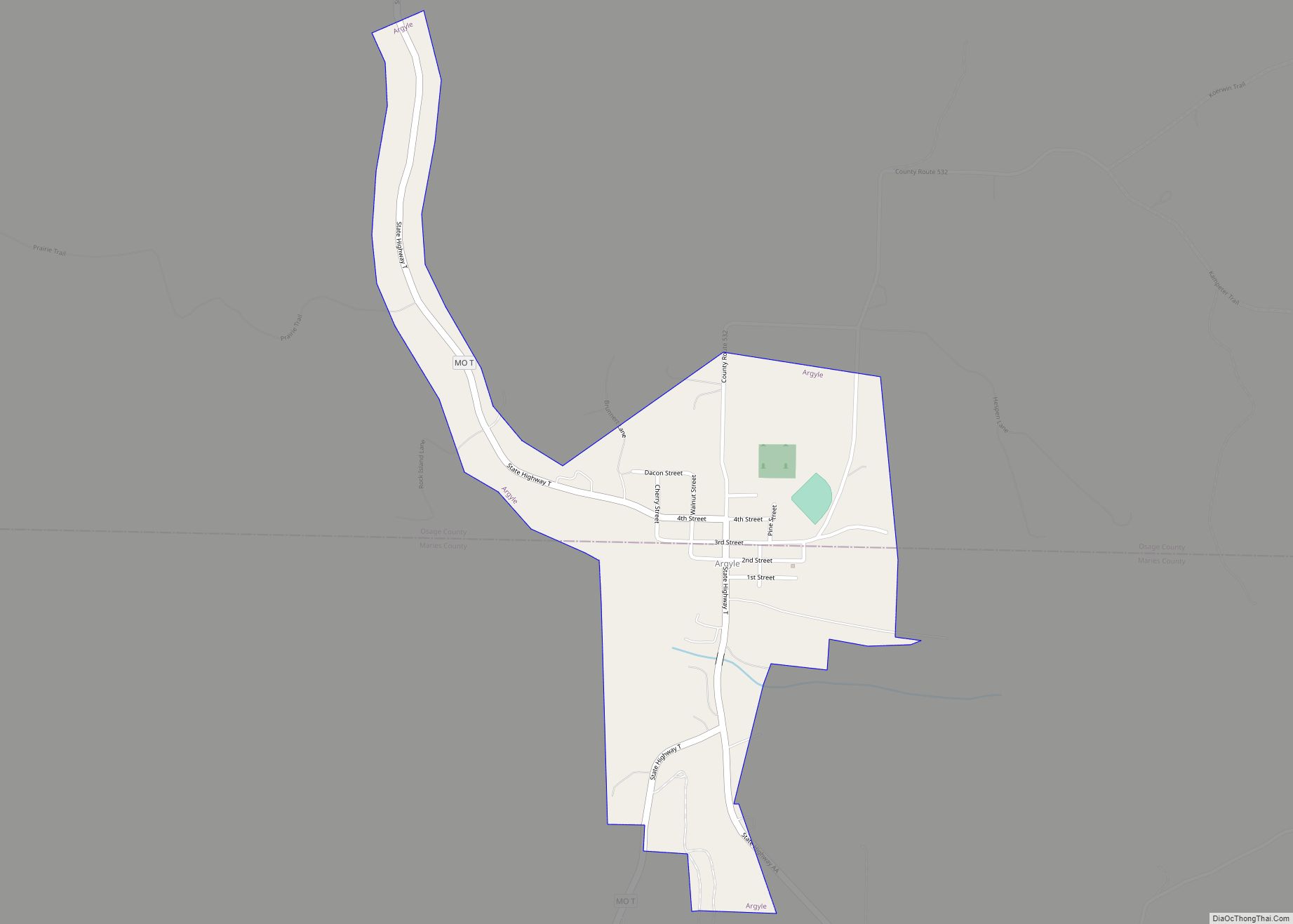
Argyle is a town in Maries and Osage counties in the U.S. state of Missouri. The population was 144 at the 2020 census. The Osage County part of Argyle is part of the Jefferson City, Missouri Metropolitan Statistical Area. Argyle town overview: Name: Argyle town LSAD Code: 43 LSAD Description: town (suffix) State: Missouri County: … Read more

Map of Arcola village, Missouri

Map of Arcola village, Missouri

Arcola is a village in Dade County, Missouri, United States. The population was 37 at the 2020 census. Arcola village overview: Name: Arcola village LSAD Code: 47 LSAD Description: village (suffix) State: Missouri County: Dade County Elevation: 1,024 ft (312 m) Total Area: 0.26 sq mi (0.66 km²) Land Area: 0.26 sq mi (0.66 km²) Water Area: 0.00 sq mi (0.00 km²) Total Population: 37 Population … Read more

Map of Arrow Point village

Map of Arrow Point village

Arrow Point is a village in White River Township of southeast Barry County, Missouri, United States. The population was 75 at the 2020 census. Arrow Point village overview: Name: Arrow Point village LSAD Code: 47 LSAD Description: village (suffix) State: Missouri County: Barry County Elevation: 1,086 ft (331 m) Total Area: 0.19 sq mi (0.50 km²) Land Area: 0.19 sq mi (0.50 km²) … Read more

Map of Arnold city, Missouri

Map of Arnold city, Missouri

Arnold is a city in Jefferson County Missouri, United States and is also a suburb of St. Louis. The population was 20,858 at the 2020 United States Census. Arnold city overview: Name: Arnold city LSAD Code: 25 LSAD Description: city (suffix) State: Missouri County: Jefferson County Elevation: 522 ft (159 m) Total Area: 11.53 sq mi (29.86 km²) Land Area: … Read more

Map of Armstrong city, Missouri

Map of Armstrong city, Missouri

Armstrong is a city in Howard County, Missouri, United States. The population was 243 at the 2020 census. It is part of the Columbia, Missouri Metropolitan Statistical Area. Armstrong city overview: Name: Armstrong city LSAD Code: 25 LSAD Description: city (suffix) State: Missouri County: Howard County Elevation: 846 ft (258 m) Total Area: 0.82 sq mi (2.12 km²) Land Area: … Read more

Map of Ash Grove city

Map of Ash Grove city

Ash Grove is a city in Greene County, Missouri, United States. The population was 1,512 at the 2020 census. It is part of the Springfield, Missouri Metropolitan Statistical Area. Ash Grove city overview: Name: Ash Grove city LSAD Code: 25 LSAD Description: city (suffix) State: Missouri County: Greene County Elevation: 1,047 ft (319 m) Total Area: 1.33 sq mi … Read more

Map of Asbury city, Missouri

Map of Asbury city, Missouri

Asbury is a city in Jasper County, Missouri, United States. The population was 193 at the 2020 census. It is part of the Joplin, Missouri Metropolitan Statistical Area. Asbury city overview: Name: Asbury city LSAD Code: 25 LSAD Description: city (suffix) State: Missouri County: Jasper County Elevation: 896 ft (273 m) Total Area: 0.36 sq mi (0.95 km²) Land Area: … Read more

Map of Arrow Rock town

Map of Arrow Rock town

Arrow Rock is a village in Saline County, Missouri, United States, located near the Missouri River. The entire village is part of the National Historic Landmark Arrow Rock Historic District, designated by the Department of the Interior, National Park Service in 1963. It is significant in the history of Westward Expansion, the Santa Fe Trail, … Read more

Map of Ashburn town, Missouri

Map of Ashburn town, Missouri

Ashburn town overview: Name: Ashburn town LSAD Code: 43 LSAD Description: town (suffix) State: Missouri County: Pike County FIPS code: 2902152 Online Interactive Map Ashburn online map. Source: Basemap layers from Google Map, Open Street Map (OSM), Arcgisonline, Wmflabs. Boundary Data from Database of Global Administrative Areas. Ashburn location map. Where is Ashburn town? Ashburn … Read more

Map of Ashley CDP, Missouri

Map of Ashley CDP, Missouri

Ashley is a census-designated place in Pike County, Missouri, United States. It is located on Route 161, approximately six miles south of Bowling Green. Ashley was platted in 1836. The community was named for William Henry Ashley, who served as lieutenant governor in the 1820s. A post office called Ashley was established in 1835, and … Read more

Map of Ashland city, Missouri

Map of Ashland city, Missouri

Ashland is a city in Boone County, Missouri, United States. Ashland is part of the Columbia, Missouri Metropolitan Statistical Area. The population was 4,747 at the 2020 census. Ashland city overview: Name: Ashland city LSAD Code: 25 LSAD Description: city (suffix) State: Missouri County: Boone County Founded: 1853 Elevation: 896 ft (273 m) Total Area: 6.19 sq mi (16.02 km²) … Read more

Map of Aullville village

Map of Aullville village

Aullville is a village in Lafayette County, Missouri, and is part of the Kansas City metropolitan area within the United States. The population was 100 at the 2010 census. Aullville village overview: Name: Aullville village LSAD Code: 47 LSAD Description: village (suffix) State: Missouri County: Lafayette County Elevation: 725 ft (221 m) Total Area: 0.27 sq mi (0.69 km²) Land … Read more