Arnold is a city in Jefferson County Missouri, United States and is also a suburb of St. Louis. The population was 20,858 at the 2020 United States Census.
| Name: | Arnold city |
|---|---|
| LSAD Code: | 25 |
| LSAD Description: | city (suffix) |
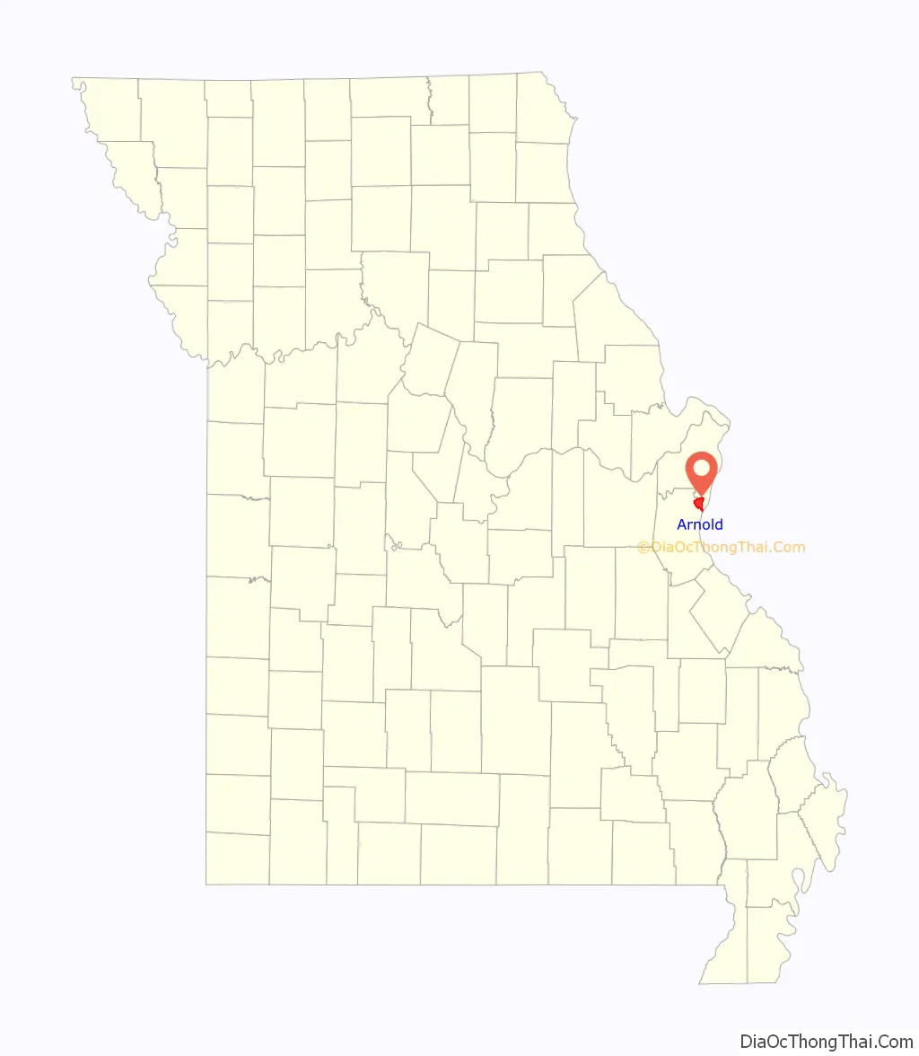
| State: | Missouri |
| County: | Jefferson County |
| Elevation: | 522 ft (159 m) |
| Total Area: | 11.53 sq mi (29.86 km²) |
| Land Area: | 11.53 sq mi (29.85 km²) |
| Water Area: | 0.00 sq mi (0.01 km²) |
| Total Population: | 20,858 |
| Population Density: | 1,809.80/sq mi (698.79/km²) |
| ZIP code: | 63010 |
| Area code: | 636 |
| FIPS code: | 2901972 |
| GNISfeature ID: | 2393991 |
| Website: | arnoldmo.org |
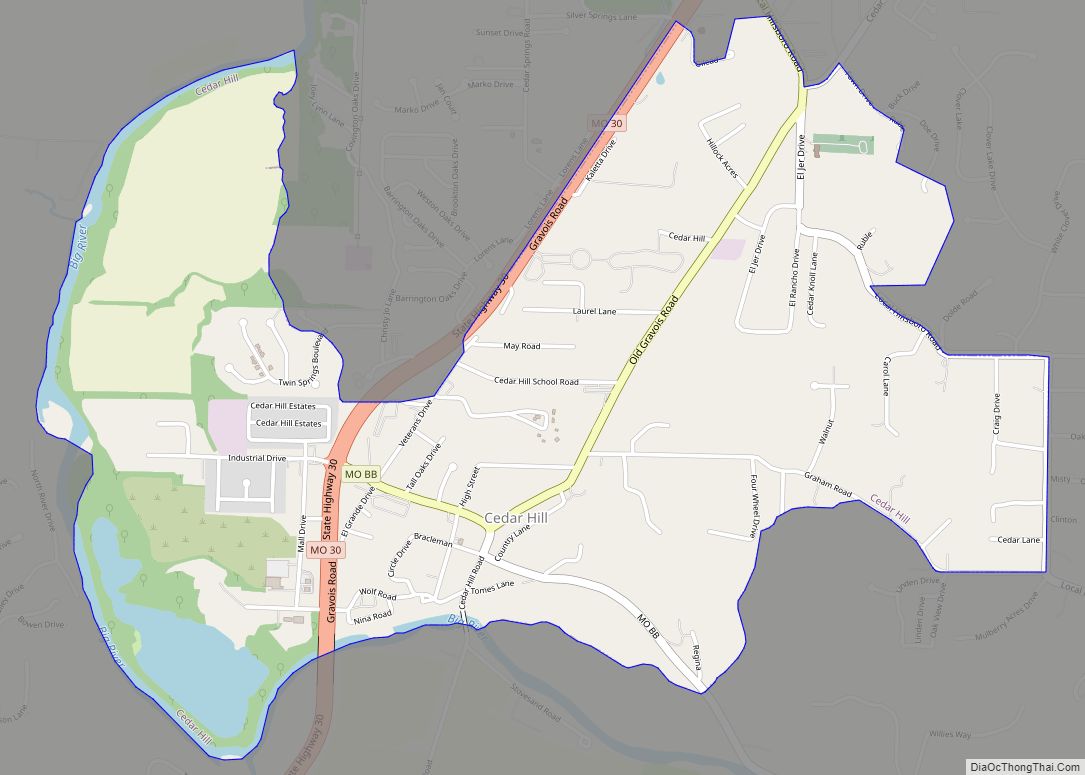
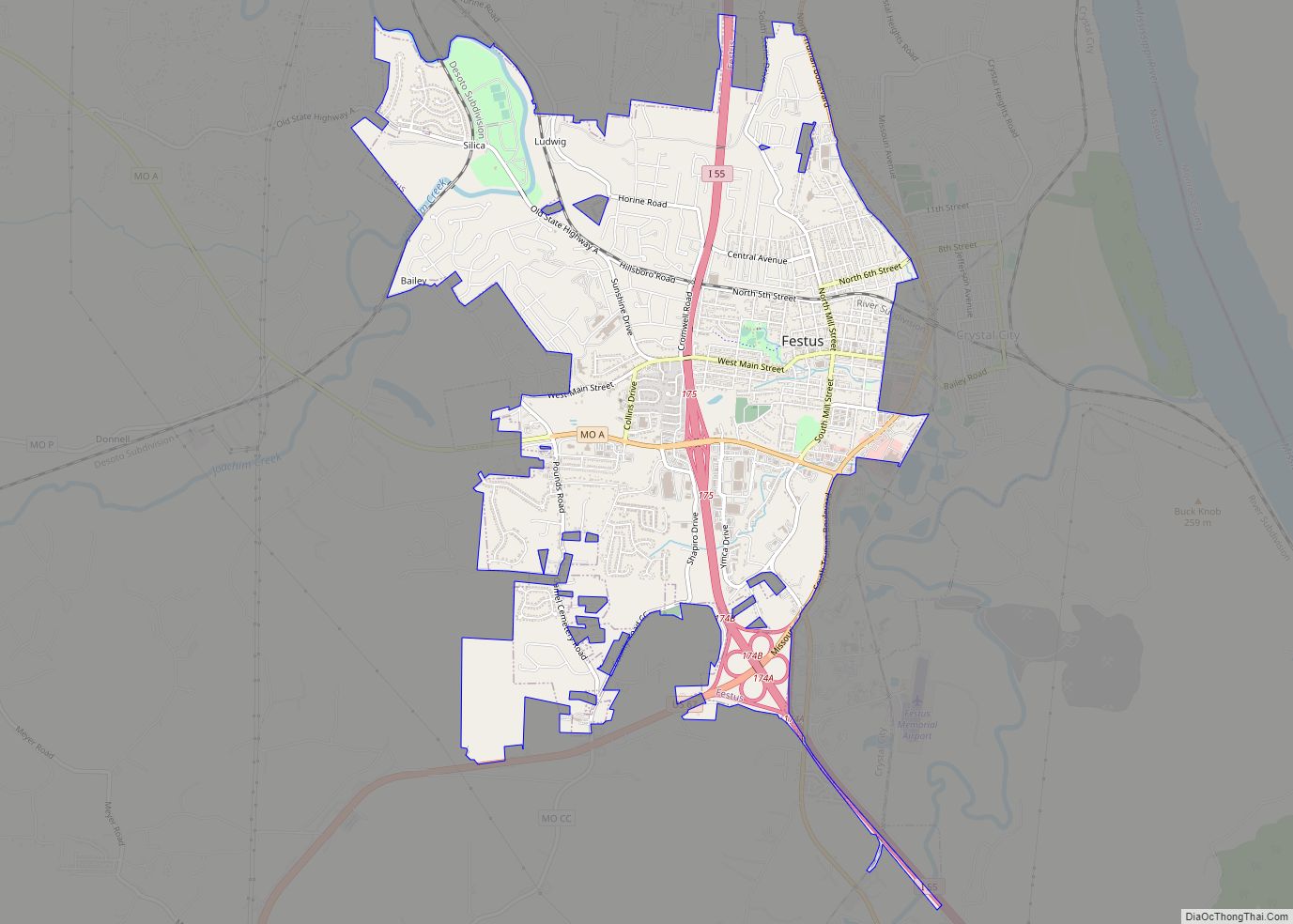
Online Interactive Map
Click on ![]() to view map in "full screen" mode.
to view map in "full screen" mode.
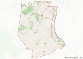
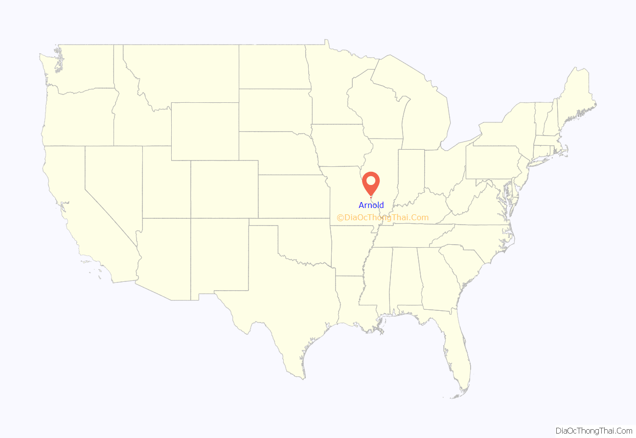
Arnold location map. Where is Arnold city?
History
The first European settler in Arnold was Jean Baptiste Gamache, who operated a ferry boat across the Meramec River in exchange for 1050 arpents of land granted by the King of Spain. This ferry was on the King’s Trace or El Camino Real, from St. Louis to Ste. Genevieve, Missouri.
Eminent domain
Arnold was a focal point over the eminent domain issue in Missouri. In January 2004, the City of Arnold announced that THF Realty had approached them regarding developing a section of Arnold known as the Triangle, an area bordered by Route 141, Interstate 55 and Church Road in the city limits. The city voted in favor of the Triangle Development project proceeding on September 16, 2005.
According to an agreement with THF, Arnold would acquire the properties in the triangle and would be reimbursed its costs by THF. Arnold offered the property owners a buy-out, and most accepted. Some businesses were promised relocation either in the new development or elsewhere in the city. Others were not given this option. Some refused the offer, and the city moved to condemn the dissenting properties. One such hold out was Homer R. Tourkakis, the owner of a dental practice on the corner of the triangle formed by Route 141 and Interstate 55.
Tourkakis claims that THF never made a fair-market offer. THF claims they offered to rebuild his practice elsewhere and purchase his property for $600,000. Tourkakis’s property was declared blighted, and Arnold sought to seize it under eminent domain. Tourkakis fought these proceedings in the Jefferson County courts. Arnold and THF argued that although incorporated cities are not explicitly granted the use of eminent domain does not imply they are denied it. The judge ruled that because Arnold is a third-class city, under Missouri law, it cannot use eminent domain to seize properties. In appeal to the Missouri Supreme Court, the decision was reversed, ruling that through the TIF act and the City of Arnold being an incorporated municipality, had the right to use eminent domain.
Red light cameras
In 2005, Arnold became the first city in Missouri to install red light cameras. A 2009 lawsuit against the cameras was dismissed on procedural grounds. In 2013 the Missouri Court of Appeals Eastern District ruled the Arnold red-light camera ordinance to be unconstitutional.
Notable events
On October 24, 1988 Republican vice-presidential candidate Dan Quayle addressed the students at Fox High School, listening to questions and discussing the fight on drugs.
On July 17, 1993 President Bill Clinton with several members of his cabinet held a “flood summit” at Fox High School during the Great Flood of 1993. During the summit, Clinton promised the governors of flood-damaged states that his administration would not abandon them once the water recedes.
On April 29, 2009, United States President Barack Obama held a town hall meeting commemorating his 100th day in office at Fox High School in Arnold. Several members of the presidents cabinet and staff attended the event including senior White House advisers Valerie Jarrett and David Axelrod and National Security Adviser James L. Jones.
Meramec River flooding
The Meramec River crested at a record level of 47.26 feet on December 31, 2015, after a weekend of heavy rain, affecting over 300 homes and breaking the previous record crest from 1993. The floodwaters closed Interstate 55 at the Meramec just north of Arnold.
Flooding struck again in 2017 after heavy rains, with the Meramec cresting at 45.62 feet on May 3. Only the southbound lanes of I-55 were closed by floodwater. Approximately 20 homes were affected.
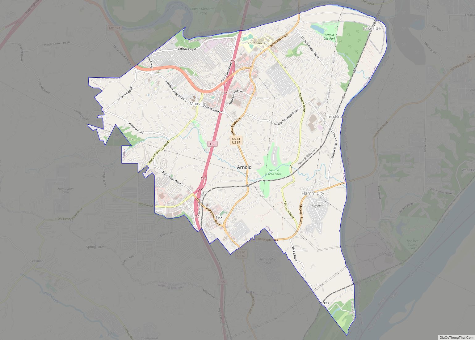
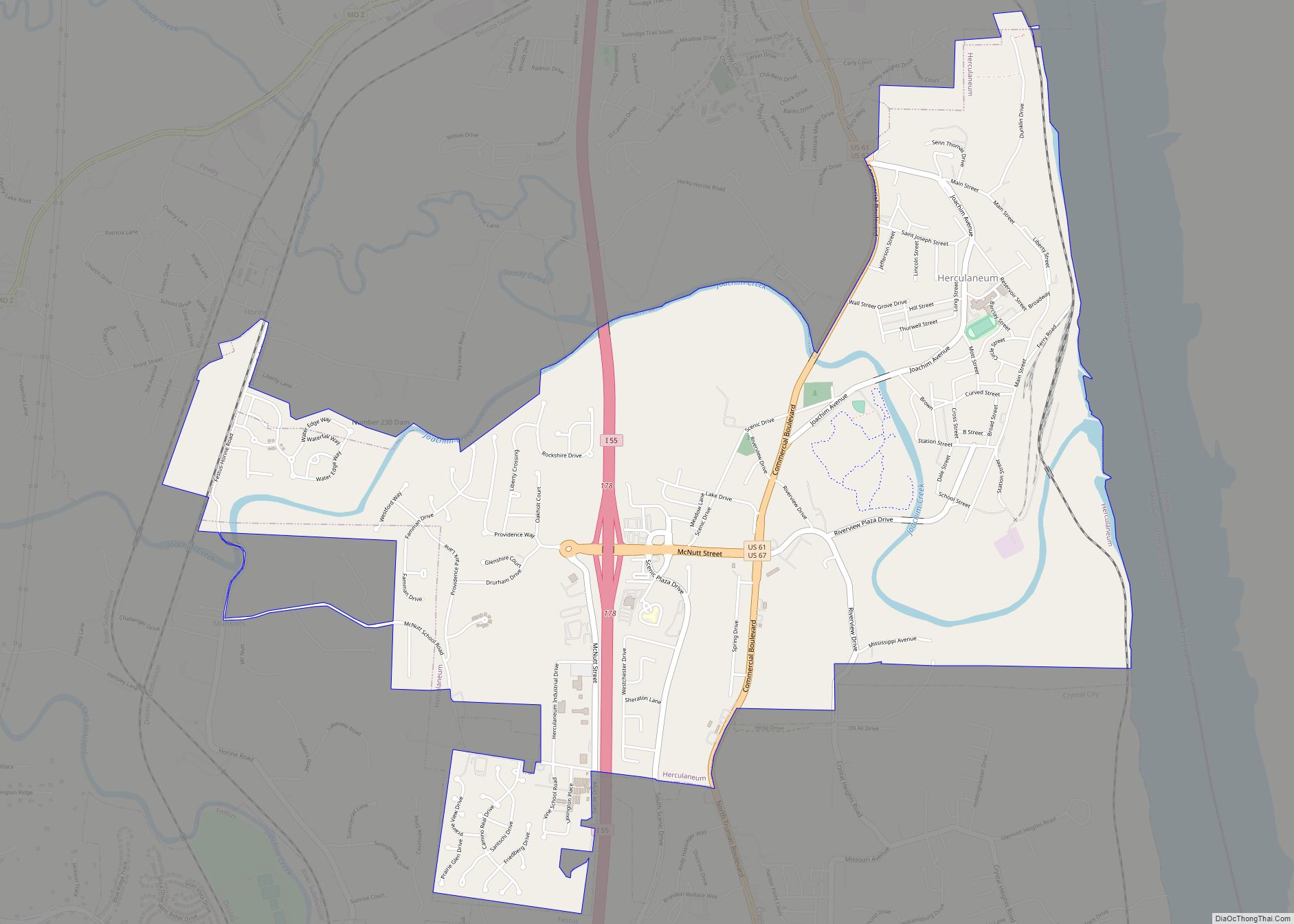
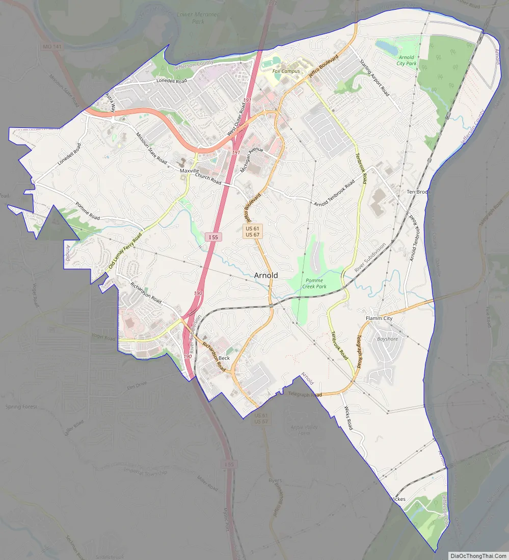
Arnold Road Map
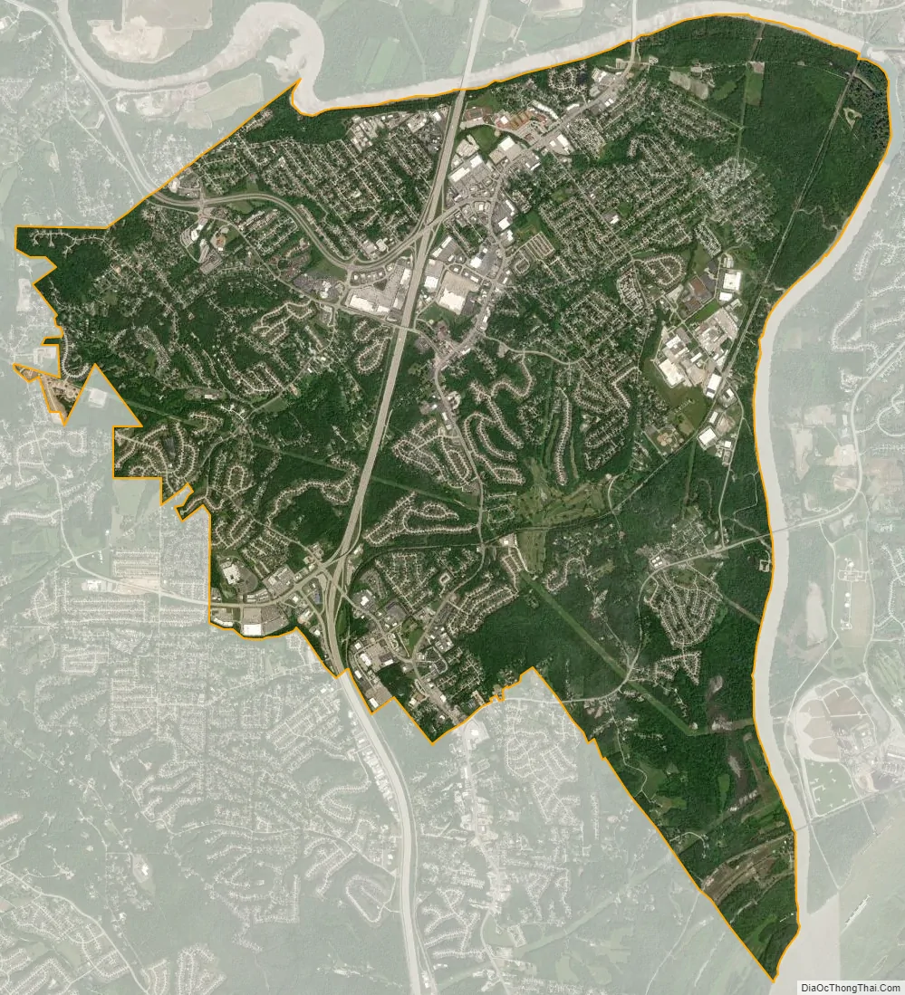
Arnold city Satellite Map
Geography
According to the United States Census Bureau, the city has a total area of 11.94 square miles (30.92 km), of which 11.58 square miles (29.99 km) is land and 0.36 square miles (0.93 km) is water.
The city is located at the confluence of the Meramec and Mississippi rivers, just south of St. Louis County.
See also
Map of Missouri State and its subdivision:- Adair
- Andrew
- Atchison
- Audrain
- Barry
- Barton
- Bates
- Benton
- Bollinger
- Boone
- Buchanan
- Butler
- Caldwell
- Callaway
- Camden
- Cape Girardeau
- Carroll
- Carter
- Cass
- Cedar
- Chariton
- Christian
- Clark
- Clay
- Clinton
- Cole
- Cooper
- Crawford
- Dade
- Dallas
- Daviess
- De Kalb
- Dent
- Douglas
- Dunklin
- Franklin
- Gasconade
- Gentry
- Greene
- Grundy
- Harrison
- Henry
- Hickory
- Holt
- Howard
- Howell
- Iron
- Jackson
- Jasper
- Jefferson
- Johnson
- Knox
- Laclede
- Lafayette
- Lawrence
- Lewis
- Lincoln
- Linn
- Livingston
- Macon
- Madison
- Maries
- Marion
- McDonald
- Mercer
- Miller
- Mississippi
- Moniteau
- Monroe
- Montgomery
- Morgan
- New Madrid
- Newton
- Nodaway
- Oregon
- Osage
- Ozark
- Pemiscot
- Perry
- Pettis
- Phelps
- Pike
- Platte
- Polk
- Pulaski
- Putnam
- Ralls
- Randolph
- Ray
- Reynolds
- Ripley
- Saint Charles
- Saint Clair
- Saint Francois
- Saint Louis
- Sainte Genevieve
- Saline
- Schuyler
- Scotland
- Scott
- Shannon
- Shelby
- Stoddard
- Stone
- Sullivan
- Taney
- Texas
- Vernon
- Warren
- Washington
- Wayne
- Webster
- Worth
- Wright
- Alabama
- Alaska
- Arizona
- Arkansas
- California
- Colorado
- Connecticut
- Delaware
- District of Columbia
- Florida
- Georgia
- Hawaii
- Idaho
- Illinois
- Indiana
- Iowa
- Kansas
- Kentucky
- Louisiana
- Maine
- Maryland
- Massachusetts
- Michigan
- Minnesota
- Mississippi
- Missouri
- Montana
- Nebraska
- Nevada
- New Hampshire
- New Jersey
- New Mexico
- New York
- North Carolina
- North Dakota
- Ohio
- Oklahoma
- Oregon
- Pennsylvania
- Rhode Island
- South Carolina
- South Dakota
- Tennessee
- Texas
- Utah
- Vermont
- Virginia
- Washington
- West Virginia
- Wisconsin
- Wyoming