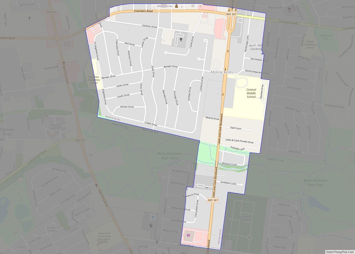
Moline Acres is a city in St. Louis County, Missouri, United States. The population was 2,442 at the 2010 census. Moline Acres city overview: Name: Moline Acres city LSAD Code: 25 LSAD Description: city (suffix) State: Missouri County: St. Louis County Elevation: 453 ft (138 m) Total Area: 0.57 sq mi (1.48 km²) Land Area: 0.57 sq mi (1.48 km²) Water Area: 0.00 sq mi ... Read more
Missouri Cities and Places
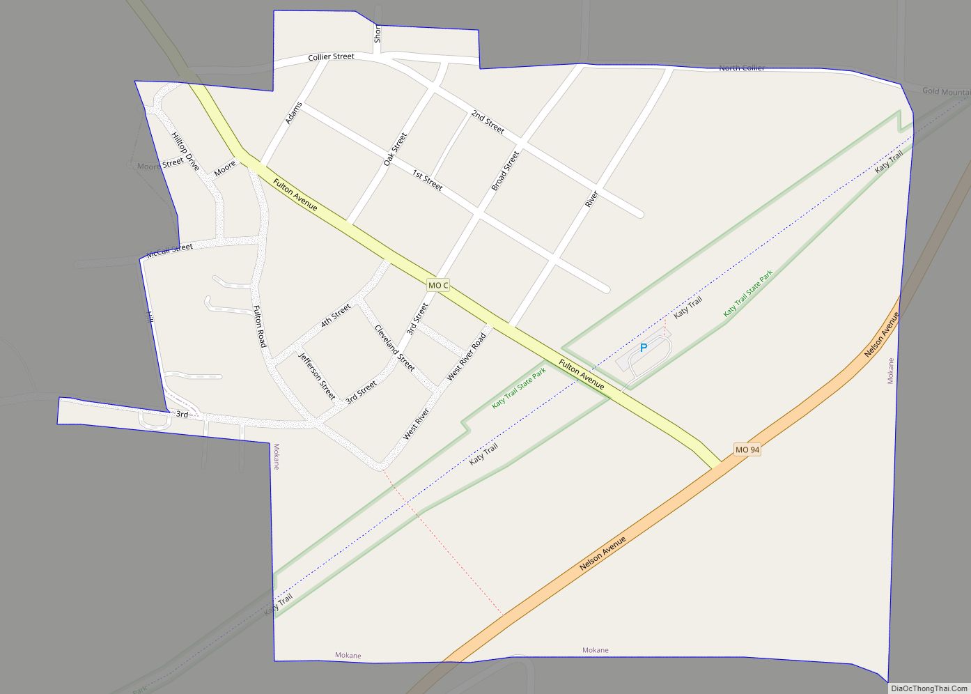
Mokane is a small city in southern Callaway County, Missouri, United States. The population was 185 at the 2010 census. It is part of the Jefferson City Metropolitan Statistical Area. Mokane city overview: Name: Mokane city LSAD Code: 25 LSAD Description: city (suffix) State: Missouri County: Callaway County Elevation: 532 ft (162 m) Total Area: 0.29 sq mi (0.76 km²) ... Read more
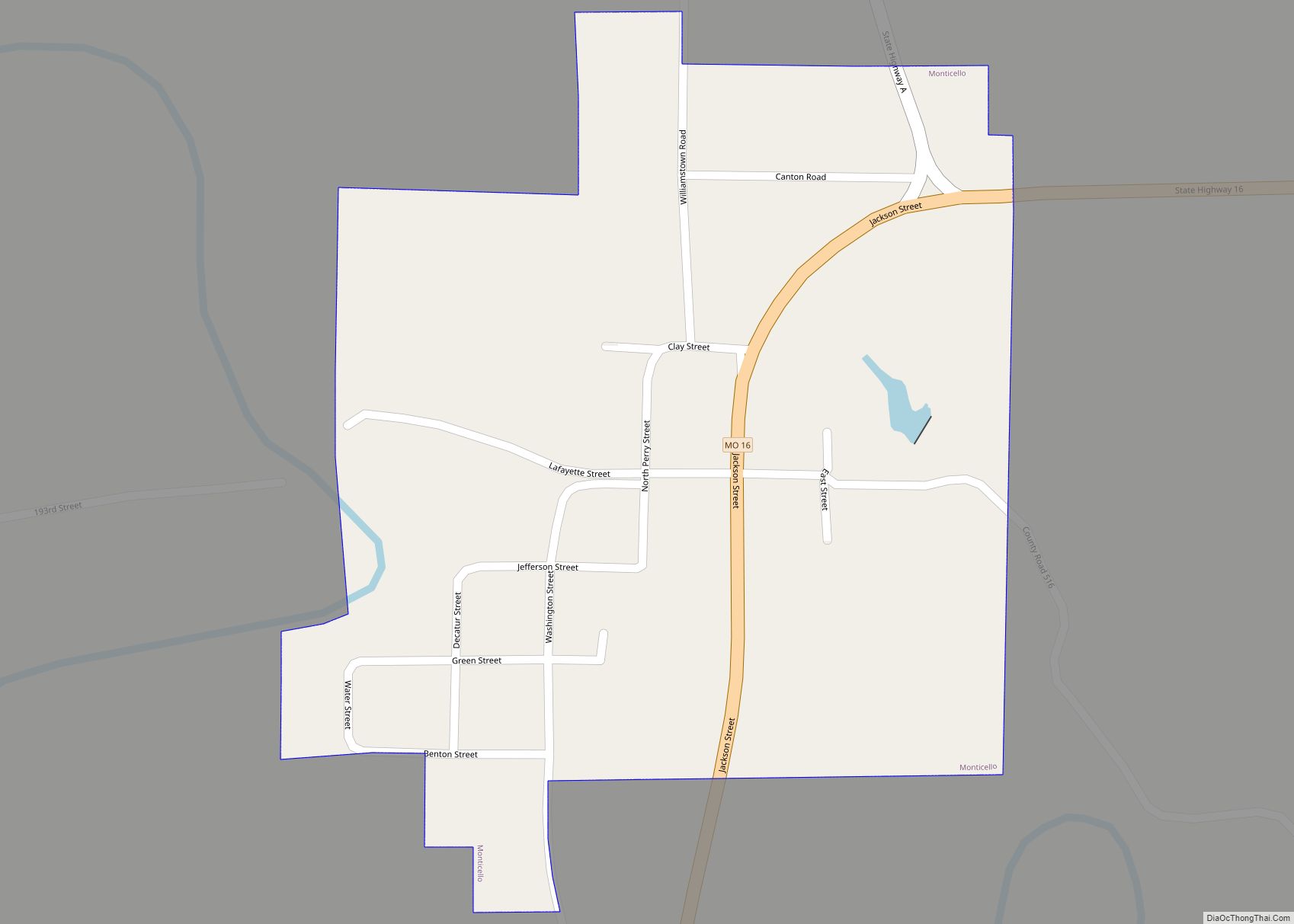
Monticello is a rural village in, and county seat of, Lewis County, Missouri, United States, along the North Fabius River. The population was 104 at the 2020 census, and according to this census, Monticello is the county seat with the smallest population in the State of Missouri. The town is named in honor of President ... Read more
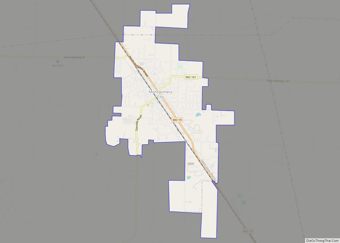
Montgomery City is a city in and the county seat of Montgomery County, Missouri, United States. The population was 2,811 at the 2020 census. Montgomery City city overview: Name: Montgomery City city LSAD Code: 25 LSAD Description: city (suffix) State: Missouri County: Montgomery County Founded: 1853 Incorporated: 1857 Elevation: 837 ft (255 m) Total Area: 3.40 sq mi (8.82 km²) ... Read more
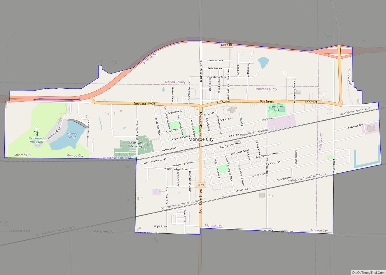
Monroe City is a city in Marion, Monroe, and Ralls counties in the U.S. state of Missouri. The population was 2,652 at the 2020 census. The Marion and Ralls County portions of Monroe City are part of the Hannibal Micropolitan Statistical Area. Monroe City city overview: Name: Monroe City city LSAD Code: 25 LSAD Description: ... Read more
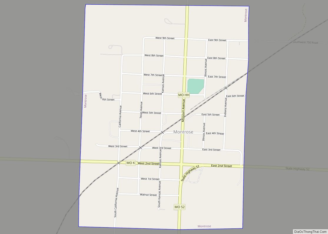
Montrose is a city in Henry County, Missouri, United States. The population was 384 at the 2010 census. Montrose city overview: Name: Montrose city LSAD Code: 25 LSAD Description: city (suffix) State: Missouri County: Henry County Elevation: 837 ft (255 m) Total Area: 0.57 sq mi (1.48 km²) Land Area: 0.57 sq mi (1.48 km²) Water Area: 0.00 sq mi (0.01 km²) Total Population: 383 Population ... Read more
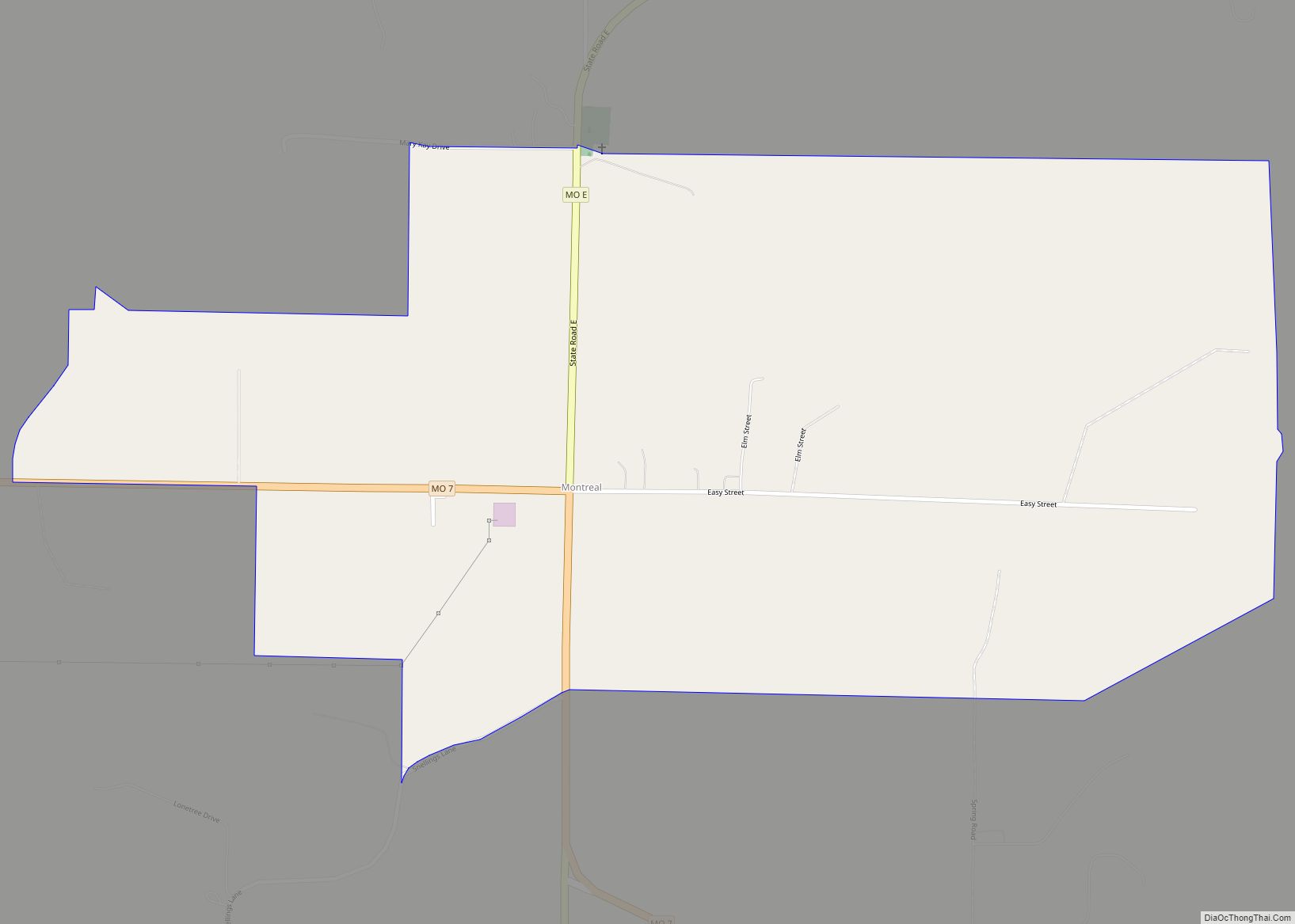
Montreal is an unincorporated community in southeast Camden County, Missouri, United States. It is located approximately eight miles east-southeast of Camdenton and 12 miles northwest of Richland on Route 7. A post office called Montreal has been in operation since 1861. The community was named after Montreal, in Quebec, Canada, the native home of a ... Read more
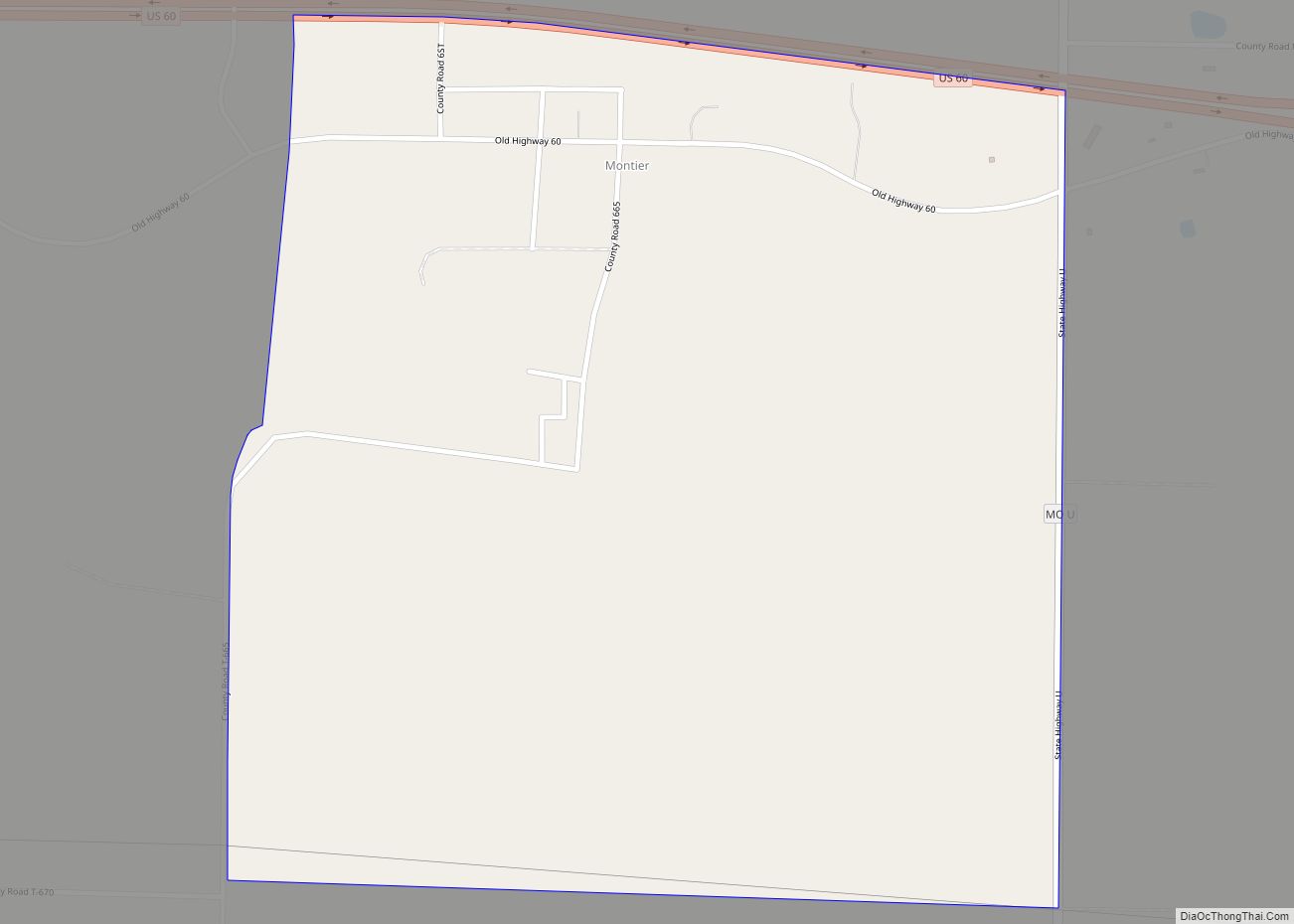
Montier is a census-designated place in southwestern Shannon County, Missouri, United States. As of the 2020 census, the population was 49. Montier CDP overview: Name: Montier CDP LSAD Code: 57 LSAD Description: CDP (suffix) State: Missouri County: Shannon County Elevation: 1,047 ft (319 m) Total Area: 0.99 sq mi (2.56 km²) Land Area: 0.99 sq mi (2.56 km²) Water Area: 0.00 sq mi (0.00 km²) Total ... Read more
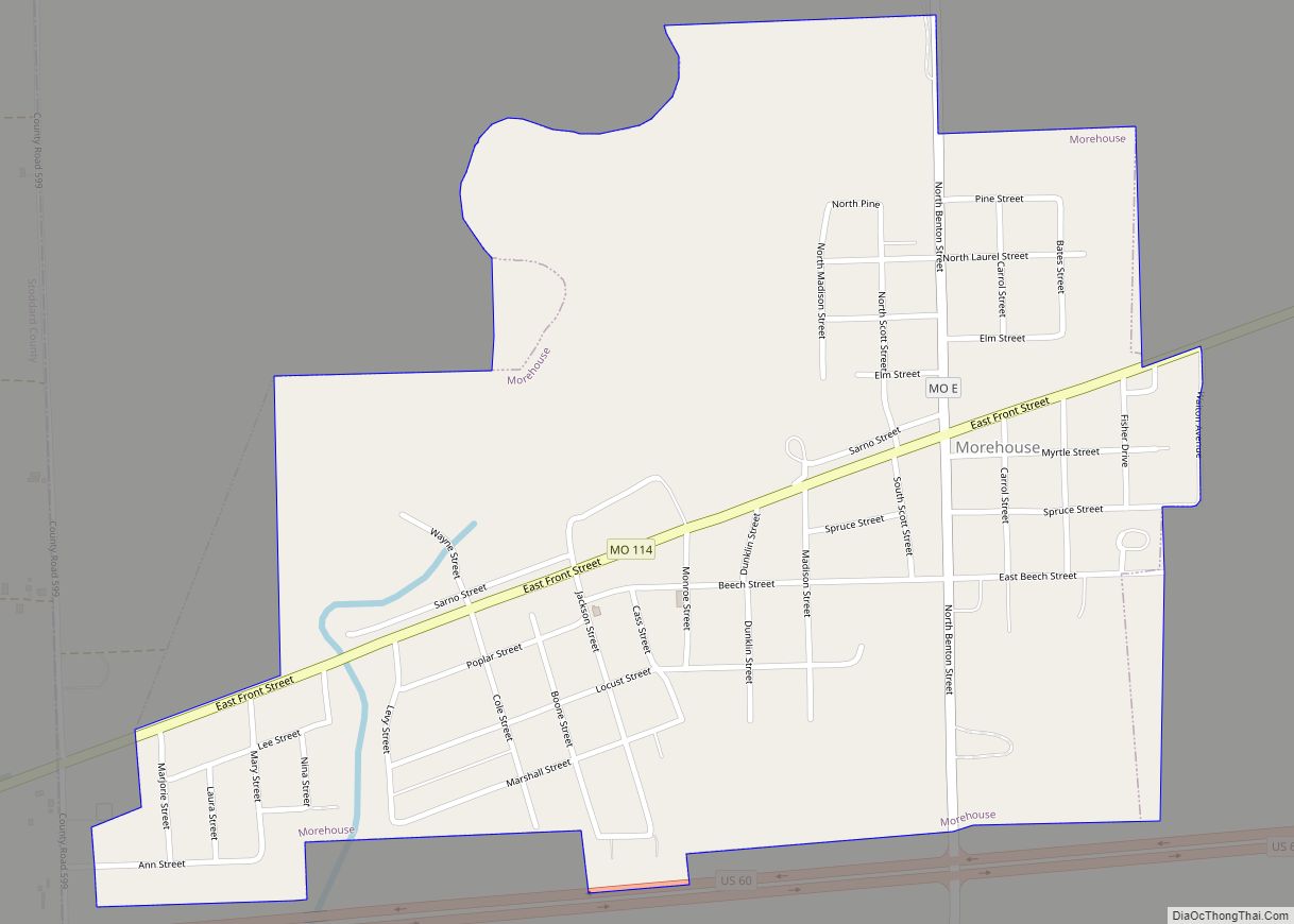
Morehouse is a city in New Madrid County, Missouri, United States. The population was 973 at the 2010 census. Morehouse city overview: Name: Morehouse city LSAD Code: 25 LSAD Description: city (suffix) State: Missouri County: New Madrid County Elevation: 302 ft (92 m) Total Area: 0.80 sq mi (2.08 km²) Land Area: 0.80 sq mi (2.08 km²) Water Area: 0.00 sq mi (0.00 km²) Total Population: ... Read more
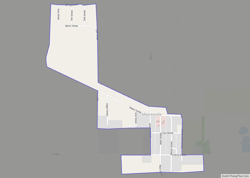
Mooresville is a village in western Livingston County, Missouri, United States. The population was 98 at the 2020 census. Mooresville village overview: Name: Mooresville village LSAD Code: 47 LSAD Description: village (suffix) State: Missouri County: Livingston County Elevation: 915 ft (279 m) Total Area: 0.18 sq mi (0.46 km²) Land Area: 0.18 sq mi (0.46 km²) Water Area: 0.00 sq mi (0.00 km²) Total Population: 98 ... Read more
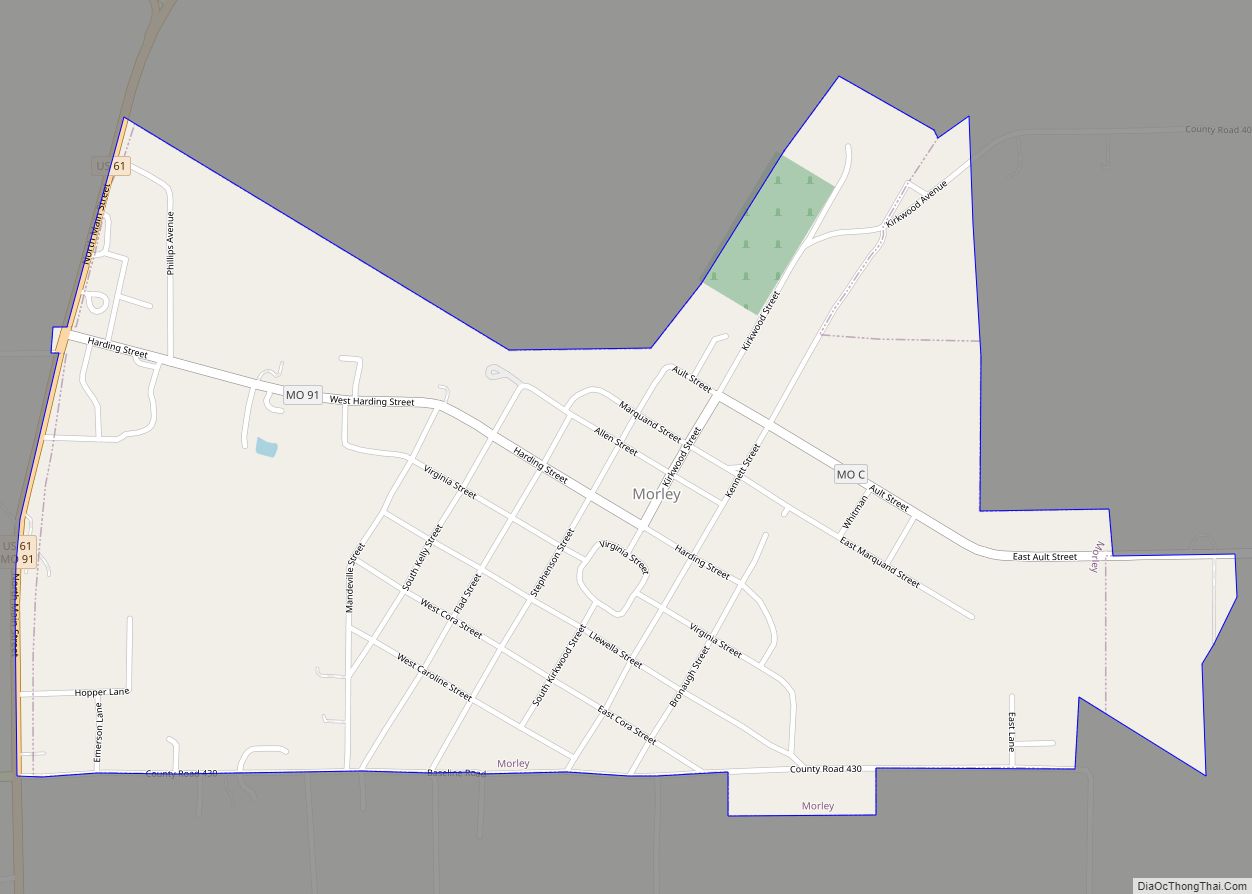
Morley is a city in Scott County, Missouri, United States. The population was 697 at the 2010 census. Morley city overview: Name: Morley city LSAD Code: 25 LSAD Description: city (suffix) State: Missouri County: Scott County Elevation: 341 ft (104 m) Total Area: 0.80 sq mi (2.08 km²) Land Area: 0.80 sq mi (2.08 km²) Water Area: 0.00 sq mi (0.00 km²) Total Population: 630 Population ... Read more
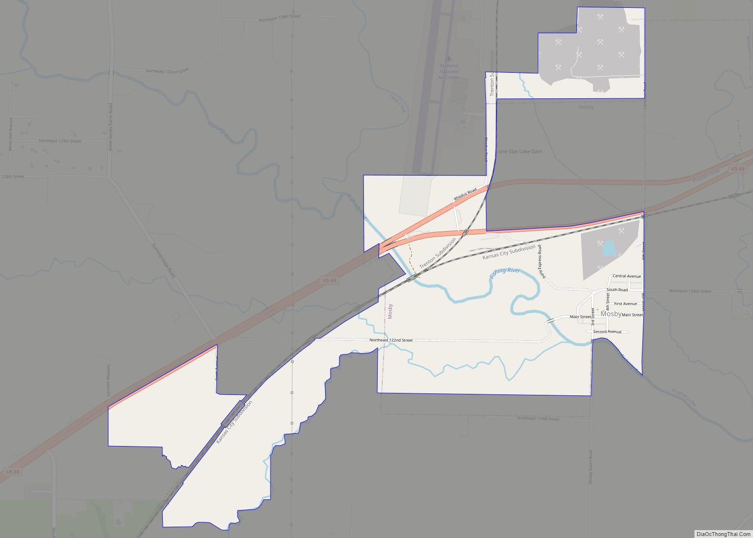
Mosby is a city in Clay County, Missouri, United States, along the Fishing River. The population was 101 at the 2020 census. It is part of the Kansas City metropolitan area. Mosby city overview: Name: Mosby city LSAD Code: 25 LSAD Description: city (suffix) State: Missouri County: Clay County Elevation: 761 ft (232 m) Total Area: 1.81 sq mi ... Read more
