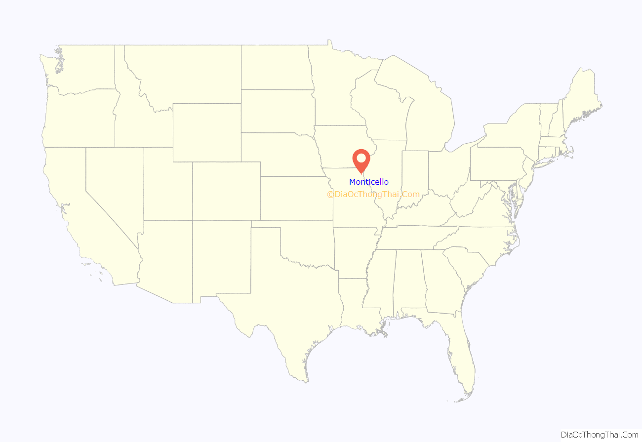
Monticello is a rural village in, and county seat of, Lewis County, Missouri, United States, along the North Fabius River. The population was 104 at the 2020 census, and according to this census, Monticello is the county seat with the smallest population in the State of Missouri. The town is named in honor of President Thomas Jefferson’s estate in Virginia. Monticello is part of the Quincy, IL–MO Micropolitan Statistical Area.
| Name: | Monticello village |
|---|---|
| LSAD Code: | 47 |
| LSAD Description: | village (suffix) |
| State: | Missouri |
| County: | Lewis County |
| Elevation: | 650 ft (200 m) |
| Total Area: | 0.26 sq mi (0.68 km²) |
| Land Area: | 0.26 sq mi (0.68 km²) |
| Water Area: | 0.00 sq mi (0.00 km²) |
| Total Population: | 104 |
| Population Density: | 398.47/sq mi (153.88/km²) |
| ZIP code: | 63457 |
| Area code: | 573 |
| FIPS code: | 2949592 |
| GNISfeature ID: | 2399389 |
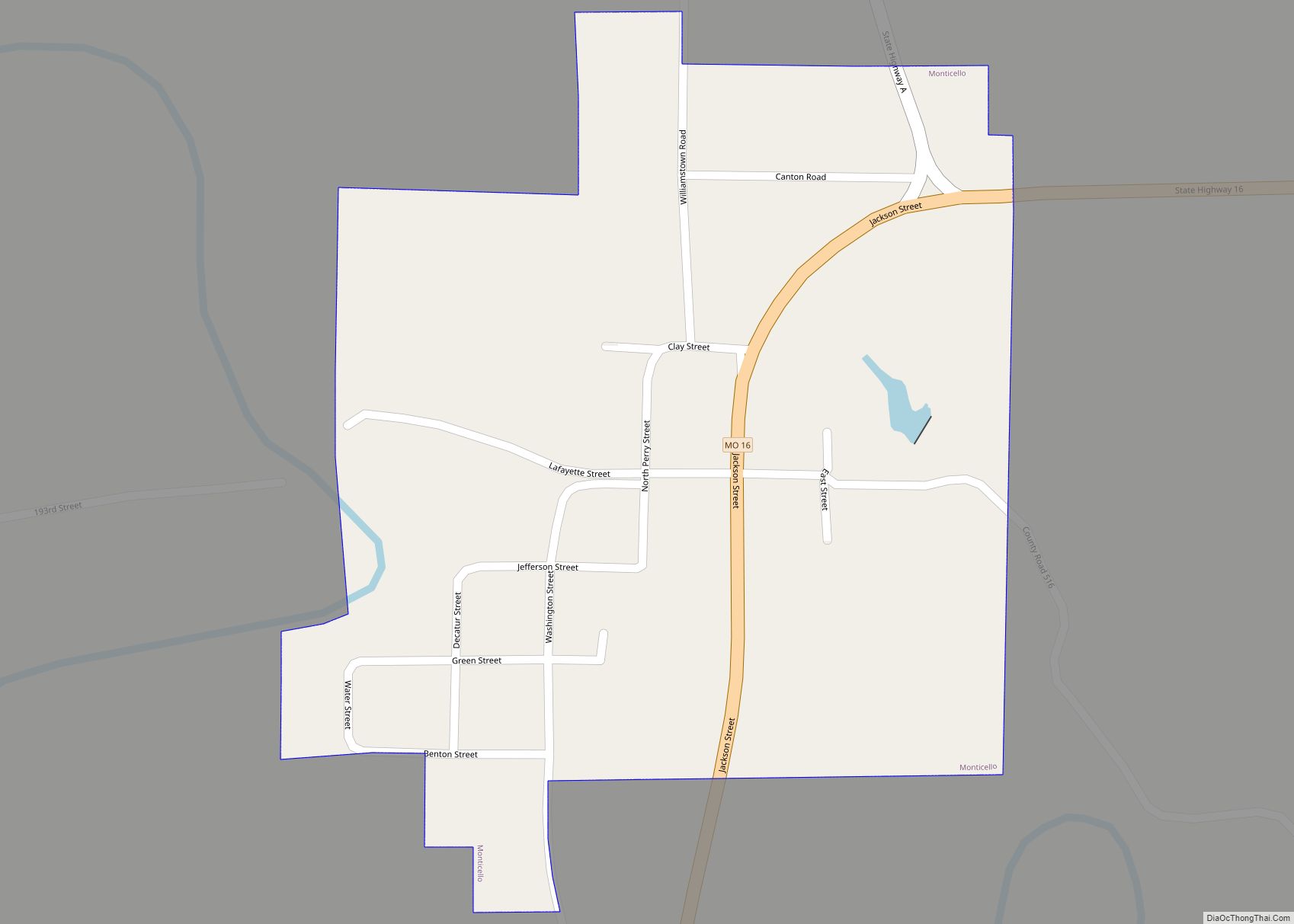
Online Interactive Map
Click on ![]() to view map in "full screen" mode.
to view map in "full screen" mode.
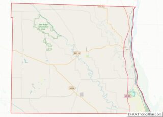
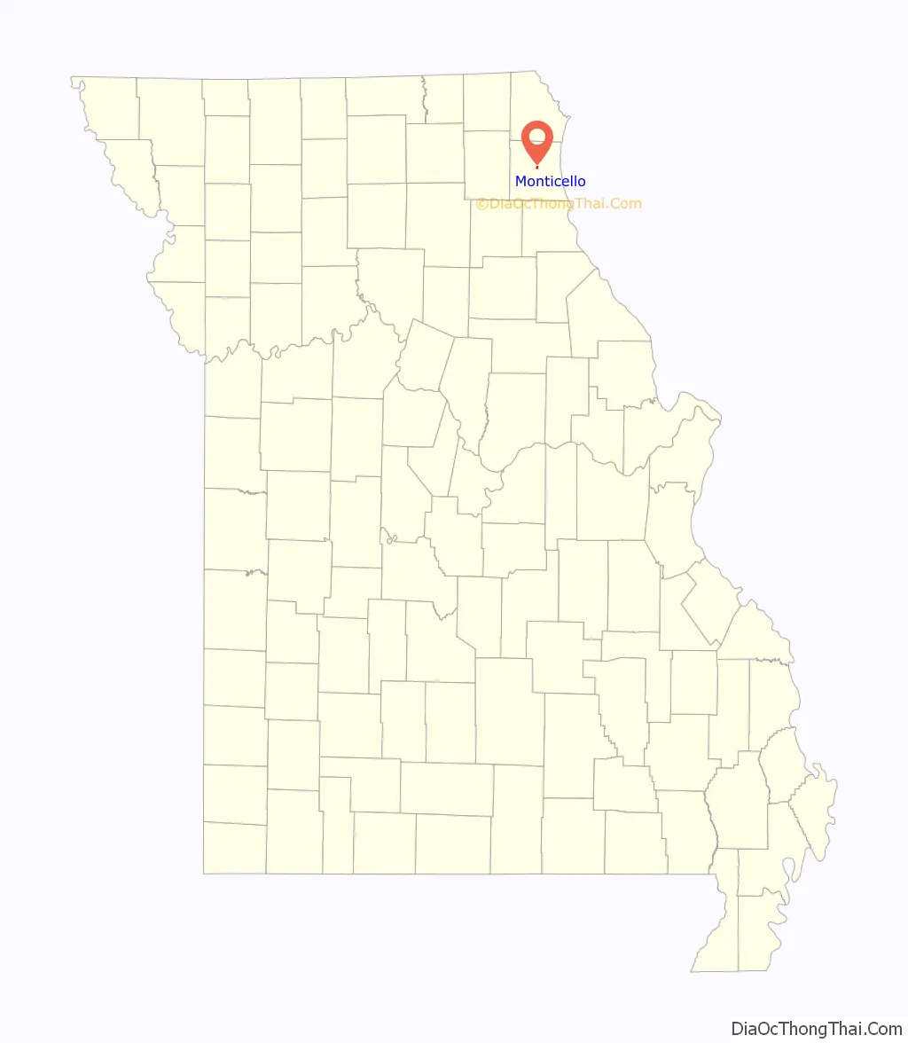
Monticello location map. Where is Monticello village?
History
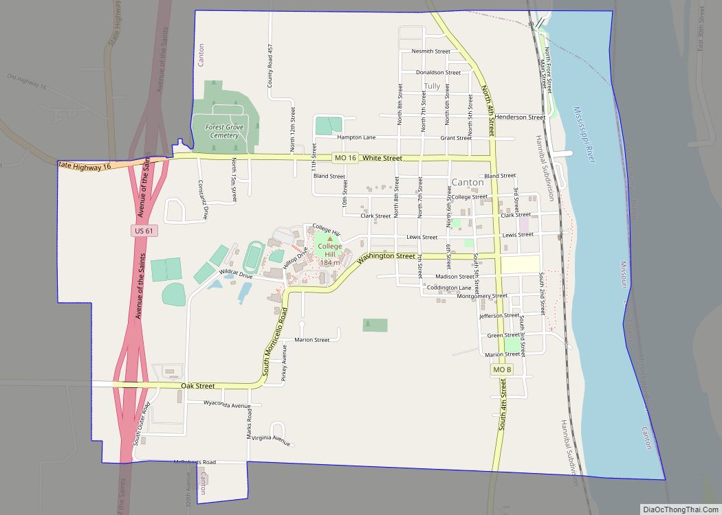
Following the establishment of Lewis County on January 2, 1833 two commissioners, Stephen Cleaver and Joshua Fensel, were tasked with finding a suitable location for the county seat. They passed on selecting already established villages like Tully and Canton along the Mississippi River and instead selected a location near the geographic center of the new county. An early settler, Andrew P. Williams, donated sixty acres of land and the town was laid out in the fall of 1833. However it would not be surveyed until the next year.
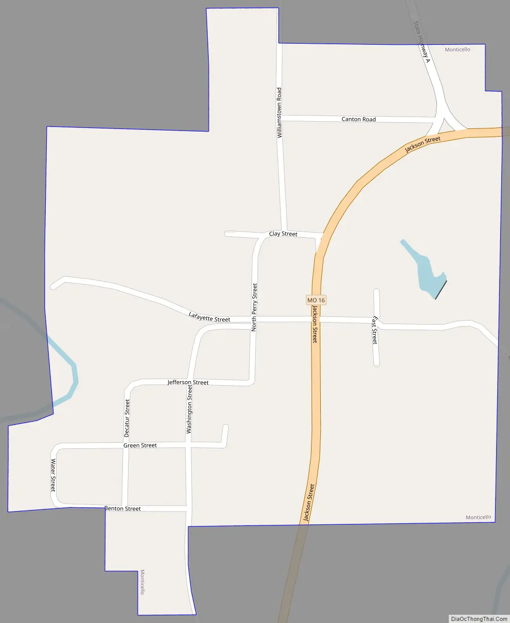
The county court appointed Judge J.A. Richardson the task of selecting lots upon which to build the courthouse, county jail, a schoolhouse, and church. The streets of the new county seat were also to be named, with those running north to south being Decatur, Jackson, Perry, Washington, and Water, while the east-west cross streets were christened Benton Clay, Greene, Jefferson, and Lafayette. The first houses were built in the town by William Graves, James H. McBride, and William P. Richardson very soon after the town was laid out. A hotel owned by William Ellis would follow. The first Lewis County courthouse in Monticello was a single-story primitive log structure which stood about 100 yards from the current courthouse site. Completed by June, 1834, it was used only until a more substantial two-story brick courthouse could be built in 1839. Despite the North Fabius being navigable only by rafts, flatboats, and assorted small craft Monticello at first did a thriving business as a supply point for central and western Lewis County, as well as portions of neighboring Knox and Scotland counties.
The Lewis County Courthouse was listed on the National Register of Historic Places in 2005.
The Civil War
The Monticello area, like much of Lewis County, was pro-Confederate during the American Civil War. Perhaps the town’s most significant contribution to the Southern cause was one of its most notable citizens, Martin E. Green. He and his brother, U.S. Senator James S. Green had come to Lewis County from Virginia in the mid-1830s. While James became a lawyer and politician, Martin operated a successful sawmill near Monticello. He would also enter politics, becoming a judge of the Lewis County court. With the outbreak of the Civil War and a riot at Canton on July 4, 1861, Judge Green called on Lewis County’s pro-Confederate citizens to assemble under the banner of the Missouri State Guard at a training camp on the Fabius River at “Horseshoe Bend” not far from Monticello. A few weeks later Green’s forces would be defeated by pro-Union Missouri Home Guards at the Battle of Athens in neighboring Clark county. Green and his band of northeast Missouri cavalrymen would go on to fight at Lexington, Missouri, Battle of Pea Ridge (Arkansas), and elsewhere in the trans-Mississippi theater. Green would rise to the rank of Confederate Brigadier General before being killed at the Siege of Vicksburg in late June, 1863. Meanwhile, other units of Confederate bushwhackers and pro-Union forces would continue to clash in the county. On July 9, 1862 Confederate guerrilla leader Raphael Smith, a pre-war tanner in the area, raided Monticello with a force of eighty men. There they captured or “liberated” various supplies and forced one the towns ardent Union supporters to take an oath of allegiance to the Confederacy. Smith’s group would again attempt to raid Monticello a few weeks later on September 1, but were driven off by the approach of a 300-man Union cavalry patrol.
Post-bellum
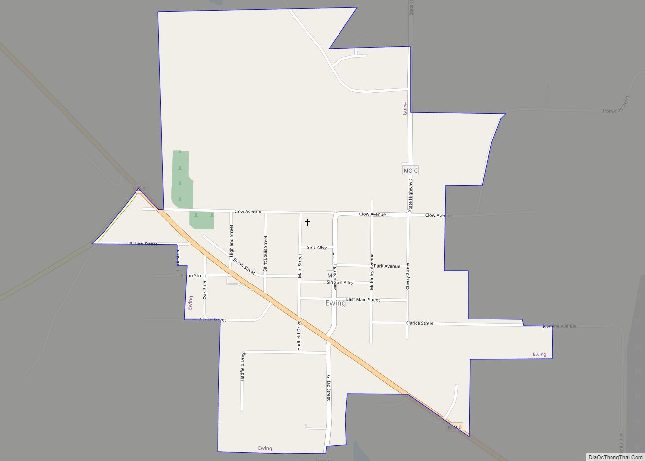
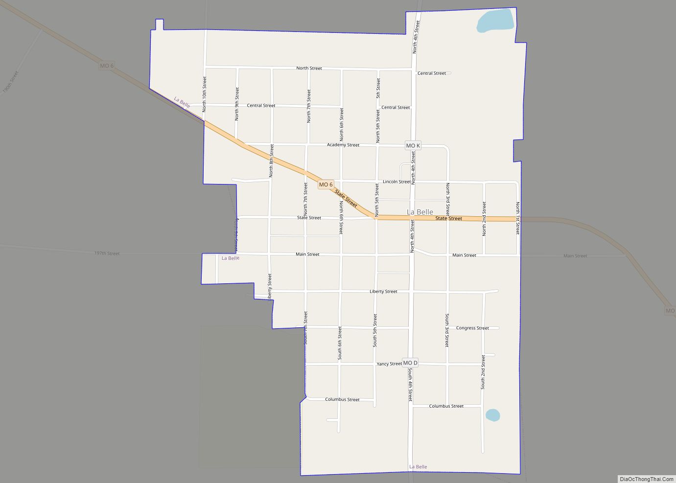
Times were difficult for Monticello in the years following the Civil War. Two railroads built through the county, in 1871 and 1872 respectively, bypassed Monticello for reasons that still remain unclear considering its status as county seat. Rail lines fostered better trade and allowed for towns such as Durham, Ewing, La Belle, and Lewistown to thrive and outgrow Monticello. In 1875, the need for a new county courthouse gave rival towns the chance to try and steal the county seat designation away from Monticello. In both newspaper articles and public meetings, residents of Canton, La Grange, and Lewistown all attempted to sway the county government. Lewistown citizens pledged up to $25,000 to build a new courthouse at no cost to the county, while La Grange offered to match or better that offer. Canton meanwhile, the county’s biggest and most prosperous city, topped both with a pledge of $40,000 to establish the county government there. However, the efforts of all three towns were in vain and no real challenge to Monticello as the county seat would happen again despite its dwindling population.
By 1878, the Monticello business district included the following: The Lindell Hotel at the corner of Perry and Lafayette streets, the Monticello Savings Bank and United States Post Office on Lafayette across from the courthouse, the Southern Hotel, the Monticello House (a boarding/hostel house), the schoolhouse, two churches, a weekly newspaper, the Monticello Journal and the Monticello Seminary. The latter was established by the Methodist Episcopal Church in 1872 but closed by 1887. The population of Monticello was estimated at 350 by the late 1890s.
The town’s development and population remained mostly stable through much of the 20th century; however, the farm crisis of the 1980s and the lure of better opportunities for the community’s young in larger cities led to a steep decline in the last two decades of the century. By the 2000 United States Census, the population was only 126 residents. There are still a handful of businesses operating in Monticello owing to its county seat designation. Notable among them are a bank and the Missouri Department of Revenue license bureau. Children in the Monticello area now attend school at Lewis County C-1, a.k.a. Highland school district, near Ewing.
Monticello Road Map
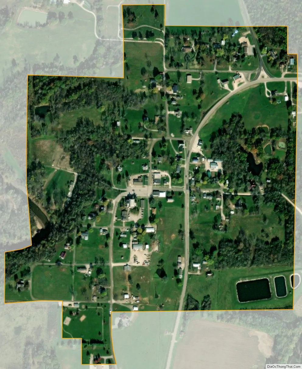
Monticello city Satellite Map
Geography
Monticello is located at 40°7′4″N 91°42′51″W / 40.11778°N 91.71417°W / 40.11778; -91.71417 (40.117841, -91.714152). According to the United States Census Bureau, the village has a total area of 0.26 square miles (0.67 km), all land.
See also
Map of Missouri State and its subdivision:- Adair
- Andrew
- Atchison
- Audrain
- Barry
- Barton
- Bates
- Benton
- Bollinger
- Boone
- Buchanan
- Butler
- Caldwell
- Callaway
- Camden
- Cape Girardeau
- Carroll
- Carter
- Cass
- Cedar
- Chariton
- Christian
- Clark
- Clay
- Clinton
- Cole
- Cooper
- Crawford
- Dade
- Dallas
- Daviess
- De Kalb
- Dent
- Douglas
- Dunklin
- Franklin
- Gasconade
- Gentry
- Greene
- Grundy
- Harrison
- Henry
- Hickory
- Holt
- Howard
- Howell
- Iron
- Jackson
- Jasper
- Jefferson
- Johnson
- Knox
- Laclede
- Lafayette
- Lawrence
- Lewis
- Lincoln
- Linn
- Livingston
- Macon
- Madison
- Maries
- Marion
- McDonald
- Mercer
- Miller
- Mississippi
- Moniteau
- Monroe
- Montgomery
- Morgan
- New Madrid
- Newton
- Nodaway
- Oregon
- Osage
- Ozark
- Pemiscot
- Perry
- Pettis
- Phelps
- Pike
- Platte
- Polk
- Pulaski
- Putnam
- Ralls
- Randolph
- Ray
- Reynolds
- Ripley
- Saint Charles
- Saint Clair
- Saint Francois
- Saint Louis
- Sainte Genevieve
- Saline
- Schuyler
- Scotland
- Scott
- Shannon
- Shelby
- Stoddard
- Stone
- Sullivan
- Taney
- Texas
- Vernon
- Warren
- Washington
- Wayne
- Webster
- Worth
- Wright
- Alabama
- Alaska
- Arizona
- Arkansas
- California
- Colorado
- Connecticut
- Delaware
- District of Columbia
- Florida
- Georgia
- Hawaii
- Idaho
- Illinois
- Indiana
- Iowa
- Kansas
- Kentucky
- Louisiana
- Maine
- Maryland
- Massachusetts
- Michigan
- Minnesota
- Mississippi
- Missouri
- Montana
- Nebraska
- Nevada
- New Hampshire
- New Jersey
- New Mexico
- New York
- North Carolina
- North Dakota
- Ohio
- Oklahoma
- Oregon
- Pennsylvania
- Rhode Island
- South Carolina
- South Dakota
- Tennessee
- Texas
- Utah
- Vermont
- Virginia
- Washington
- West Virginia
- Wisconsin
- Wyoming