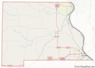
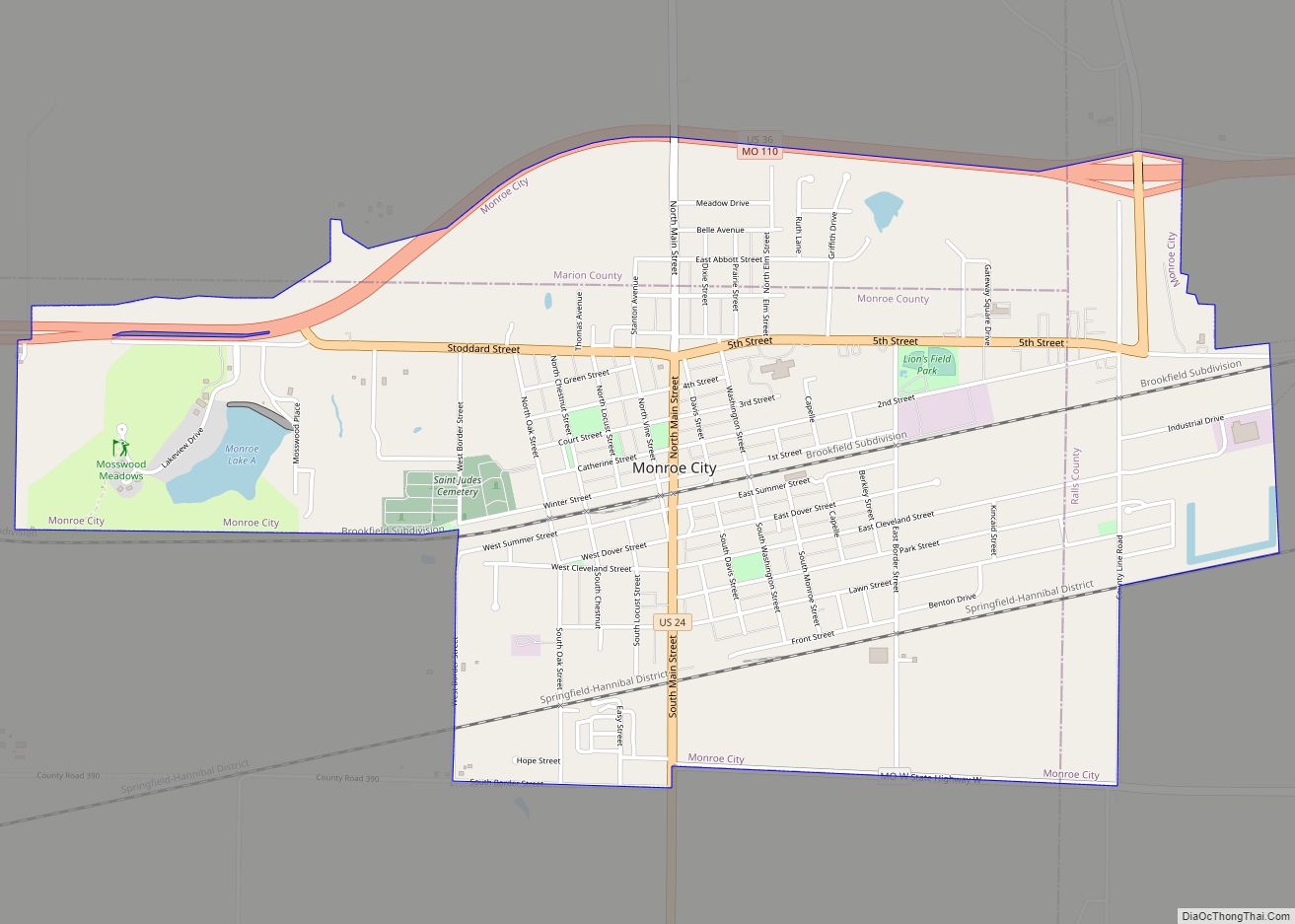
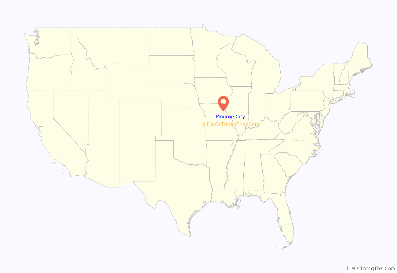
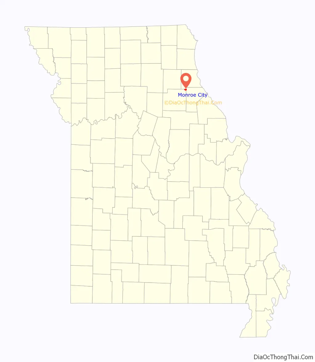
Monroe City is a city in Marion, Monroe, and Ralls counties in the U.S. state of Missouri. The population was 2,652 at the 2020 census.
The Marion and Ralls County portions of Monroe City are part of the Hannibal Micropolitan Statistical Area.
| Name: | Monroe City city |
|---|---|
| LSAD Code: | 25 |
| LSAD Description: | city (suffix) |
| State: | Missouri |
| County: | Marion County, Monroe County, Ralls County |
| Elevation: | 738 ft (225 m) |
| Total Area: | 3.06 sq mi (7.93 km²) |
| Land Area: | 3.02 sq mi (7.82 km²) |
| Water Area: | 0.04 sq mi (0.11 km²) |
| Total Population: | 2,652 |
| Population Density: | 878.44/sq mi (339.12/km²) |
| ZIP code: | 63456 |
| Area code: | 573 |
| FIPS code: | 2949394 |
| GNISfeature ID: | 2395376 |
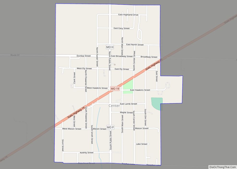
Online Interactive Map
Click on ![]() to view map in "full screen" mode.
to view map in "full screen" mode.
Monroe City location map. Where is Monroe City city?
History
Monroe City was platted in 1856, and named for its location within Monroe County. A post office called Monroe City has been in operation since 1860.
The Farmers and Merchants Bank Building, St. Jude’s Episcopal Church, and Washington School are listed on the National Register of Historic Places.
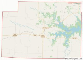
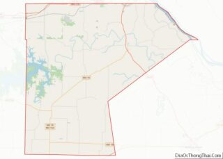
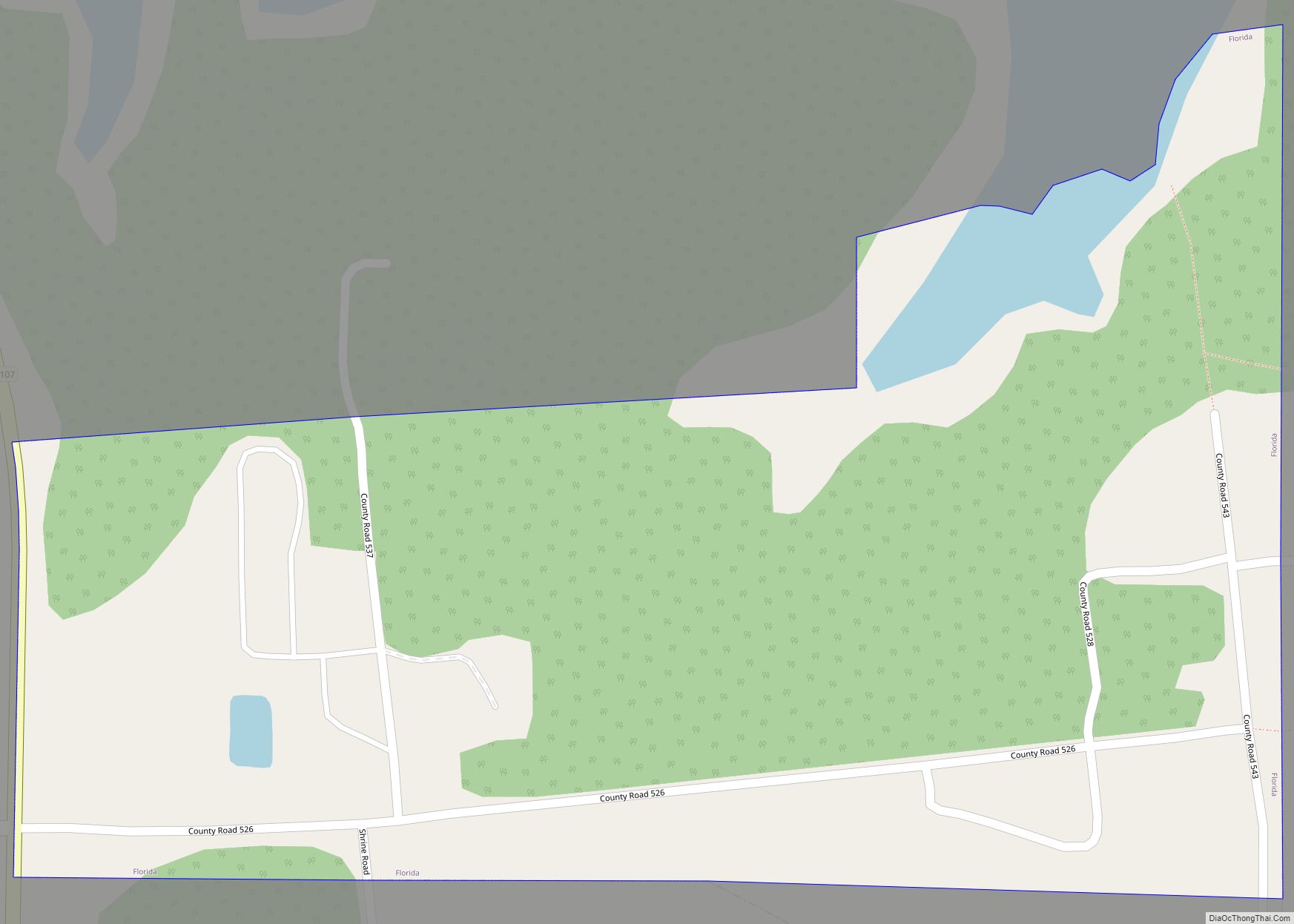
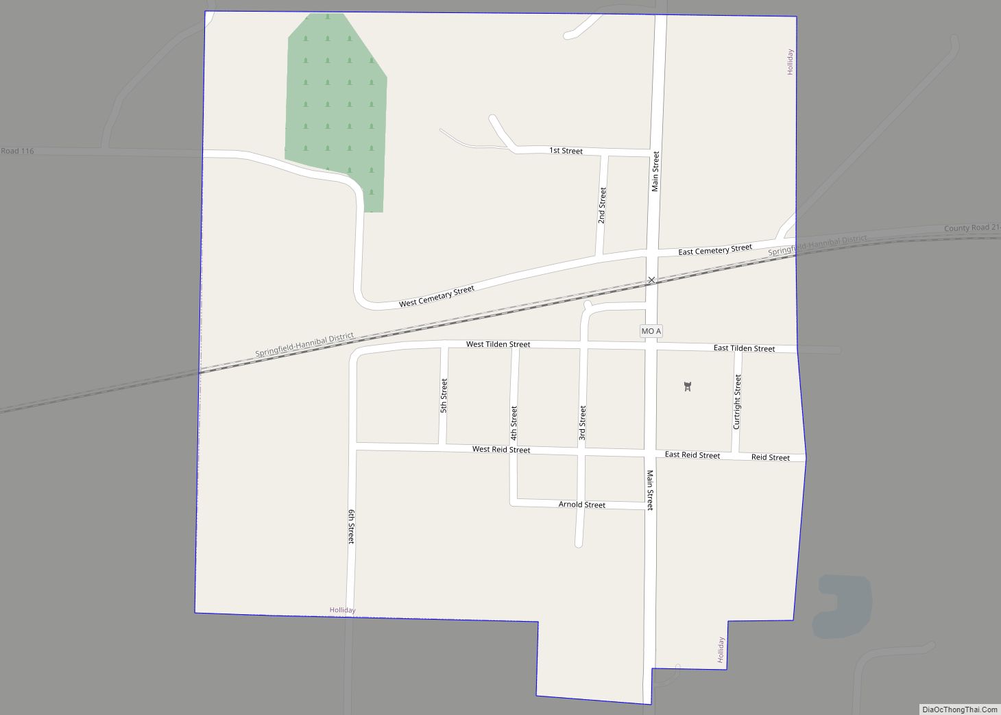
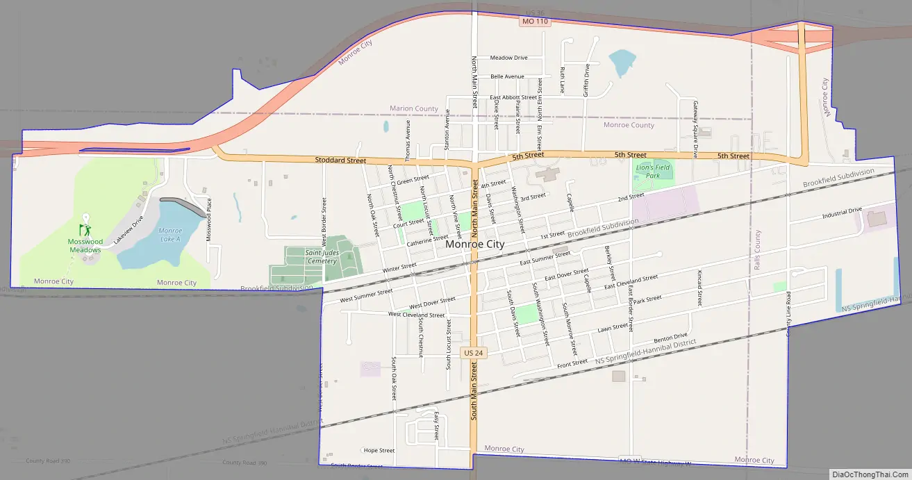
Monroe City Road Map
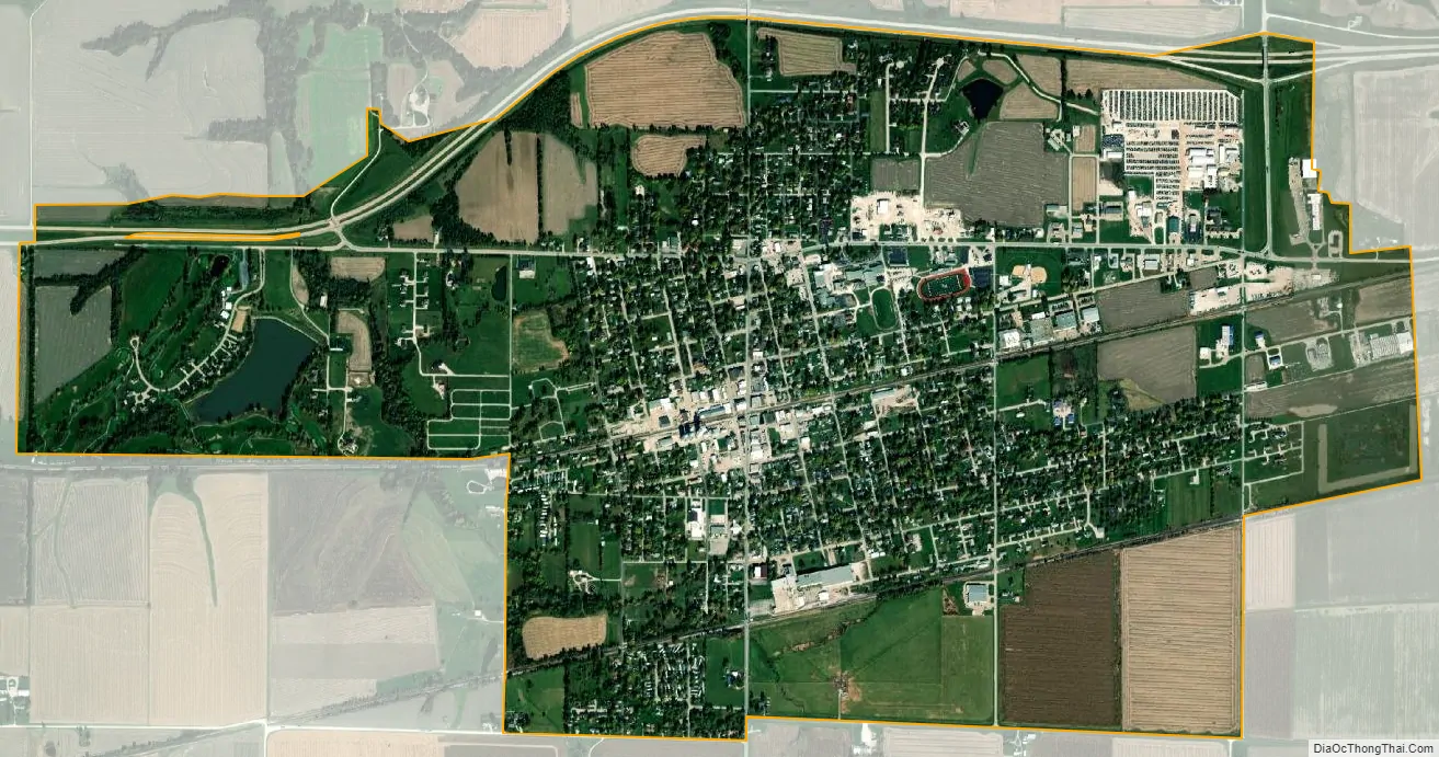
Monroe City city Satellite Map
Geography
According to the United States Census Bureau, the city has a total area of 3.06 square miles (7.93 km), of which 3.02 square miles (7.82 km) is land and 0.04 square miles (0.10 km) is water. Two remnants of the 8,000-year old prairie are within a 40-mile radius (64 km) of the town.
See also
Map of Missouri State and its subdivision:- Adair
- Andrew
- Atchison
- Audrain
- Barry
- Barton
- Bates
- Benton
- Bollinger
- Boone
- Buchanan
- Butler
- Caldwell
- Callaway
- Camden
- Cape Girardeau
- Carroll
- Carter
- Cass
- Cedar
- Chariton
- Christian
- Clark
- Clay
- Clinton
- Cole
- Cooper
- Crawford
- Dade
- Dallas
- Daviess
- De Kalb
- Dent
- Douglas
- Dunklin
- Franklin
- Gasconade
- Gentry
- Greene
- Grundy
- Harrison
- Henry
- Hickory
- Holt
- Howard
- Howell
- Iron
- Jackson
- Jasper
- Jefferson
- Johnson
- Knox
- Laclede
- Lafayette
- Lawrence
- Lewis
- Lincoln
- Linn
- Livingston
- Macon
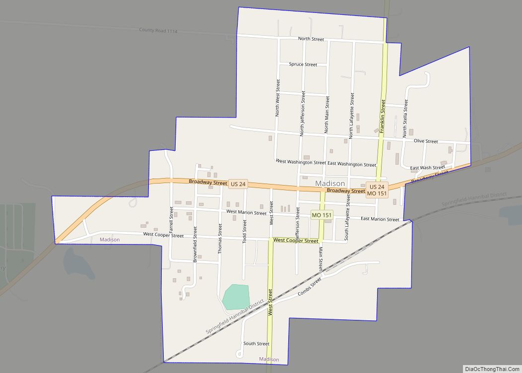
- Madison
- Maries
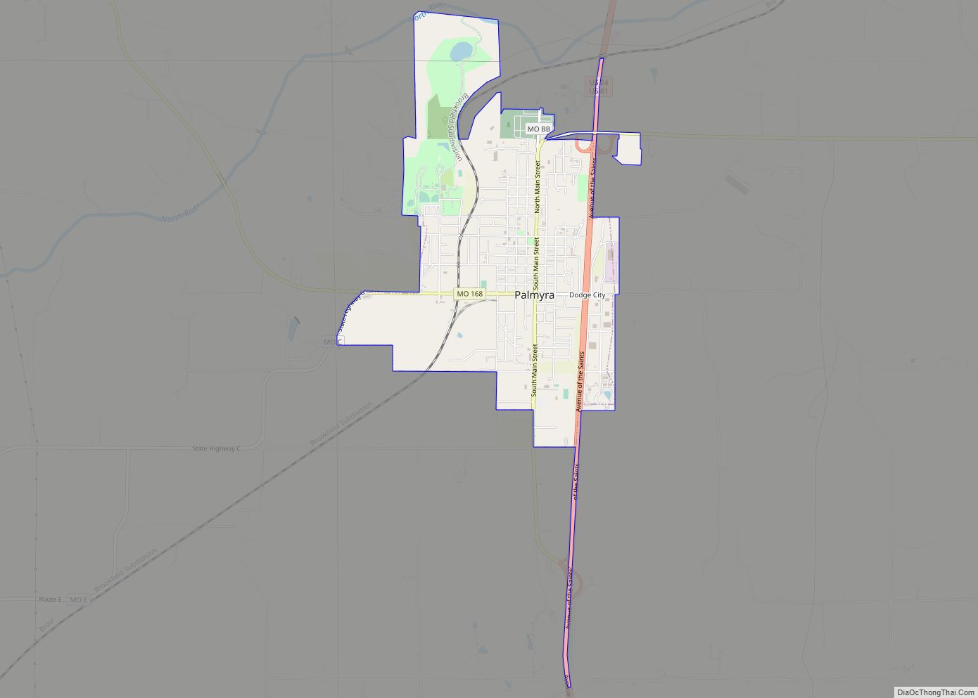
- Marion
- McDonald
- Mercer
- Miller
- Mississippi
- Moniteau
- Monroe
- Montgomery
- Morgan
- New Madrid
- Newton
- Nodaway
- Oregon
- Osage
- Ozark
- Pemiscot
- Perry
- Pettis
- Phelps
- Pike
- Platte
- Polk
- Pulaski
- Putnam
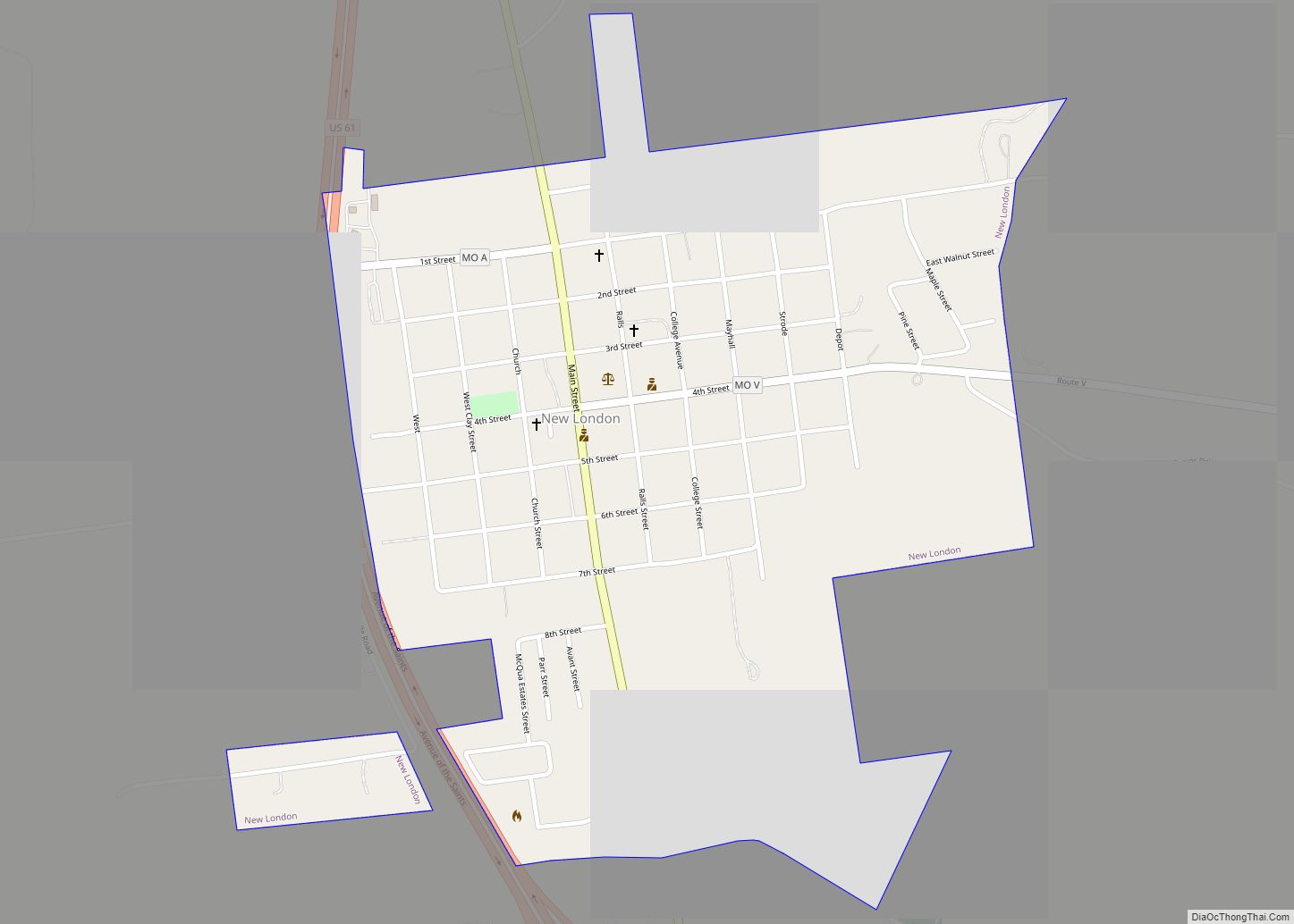
- Ralls
- Randolph
- Ray
- Reynolds
- Ripley
- Saint Charles
- Saint Clair
- Saint Francois
- Saint Louis
- Sainte Genevieve
- Saline
- Schuyler
- Scotland
- Scott
- Shannon
- Shelby
- Stoddard
- Stone
- Sullivan
- Taney
- Texas
- Vernon
- Warren
- Washington
- Wayne
- Webster
- Worth
- Wright
- Alabama
- Alaska
- Arizona
- Arkansas
- California
- Colorado
- Connecticut
- Delaware
- District of Columbia
- Florida
- Georgia
- Hawaii
- Idaho
- Illinois
- Indiana
- Iowa
- Kansas
- Kentucky
- Louisiana
- Maine
- Maryland
- Massachusetts
- Michigan
- Minnesota
- Mississippi
- Missouri
- Montana
- Nebraska
- Nevada
- New Hampshire
- New Jersey
- New Mexico
- New York
- North Carolina
- North Dakota
- Ohio
- Oklahoma
- Oregon
- Pennsylvania
- Rhode Island
- South Carolina
- South Dakota
- Tennessee
- Texas
- Utah
- Vermont
- Virginia
- Washington
- West Virginia
- Wisconsin
- Wyoming