Map of Morrisville town

Map of Morrisville town, Missouri

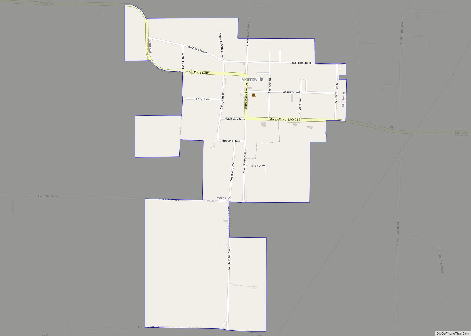
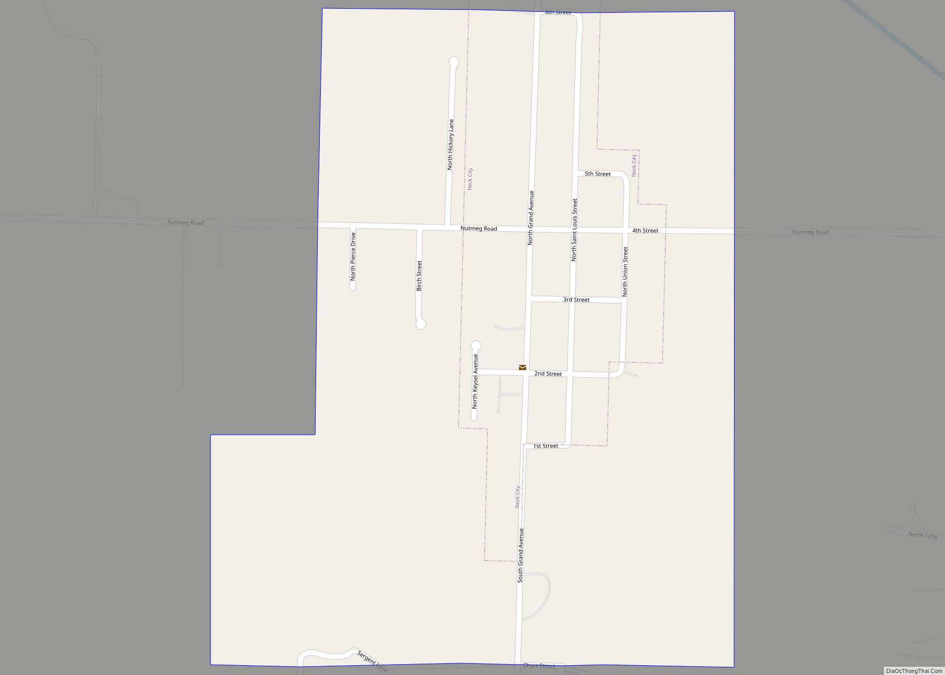
Morrisville is a city in southern Polk County, Missouri, United States. The population was 388 at the 2010 census. It is part of the Springfield, Missouri Metropolitan Statistical Area. Morrisville town overview: Name: Morrisville town LSAD Code: 43 LSAD Description: town (suffix) State: Missouri County: Polk County Elevation: 1,135 ft (346 m) Total Area: 0.64 sq mi (1.66 km²) Land … Read more

Map of Morrison city, Missouri

Map of Morrison city, Missouri

Morrison is a city in Gasconade County, Missouri, United States. The first permanent settlement in the town was made by Robert Shobe circa 1828. The population was 93 at the 2020 census. Morrison city overview: Name: Morrison city LSAD Code: 25 LSAD Description: city (suffix) State: Missouri County: Gasconade County Elevation: 627 ft (191 m) Total Area: … Read more

Map of Moundville town, Missouri

Map of Moundville town, Missouri

Moundville is a village in southwest Vernon County, Missouri, United States. The population was 124 at the 2010 census. Moundville town overview: Name: Moundville town LSAD Code: 43 LSAD Description: town (suffix) State: Missouri County: Vernon County Elevation: 856 ft (261 m) Total Area: 0.16 sq mi (0.42 km²) Land Area: 0.16 sq mi (0.42 km²) Water Area: 0.00 sq mi (0.00 km²) Total Population: 78 … Read more

Map of Mound City, Missouri

Map of Mound City, Missouri

Mound City is a city in Holt County, Missouri, United States, centered near the interchange of Interstate 29 and Missouri Route 118. The population was 1,004 at the 2020 census, down from the 1,159 people counted during the previous census. Mound City overview: Name: Mound City LSAD Code: 25 LSAD Description: city (suffix) State: Missouri … Read more

Map of Moscow Mills city

Map of Moscow Mills city

Moscow Mills is a city in Lincoln County, Missouri, United States. The population was 2,509 at the 2010 census. Moscow Mills city overview: Name: Moscow Mills city LSAD Code: 25 LSAD Description: city (suffix) State: Missouri County: Lincoln County Elevation: 538 ft (164 m) Total Area: 3.16 sq mi (8.18 km²) Land Area: 3.15 sq mi (8.16 km²) Water Area: 0.01 sq mi (0.02 km²) Total … Read more

Map of Mount Vernon city, Missouri

Map of Mount Vernon city, Missouri

Mount Vernon is a city in and the county seat of Lawrence County, Missouri, United States. The population was 4,575 as of the 2010 census. It was estimated to be 4,960 by the City of Mount Vernon on July 1, 2020. Mount Vernon city overview: Name: Mount Vernon city LSAD Code: 25 LSAD Description: city … Read more

Map of Mount Moriah town

Map of Mount Moriah town

Mount Moriah is a village in eastern Harrison County, Missouri, United States. The population at the 2020 census was 75. Mount Moriah town overview: Name: Mount Moriah town LSAD Code: 43 LSAD Description: town (suffix) State: Missouri County: Harrison County Elevation: 837 ft (255 m) Total Area: 1.02 sq mi (2.64 km²) Land Area: 1.02 sq mi (2.64 km²) Water Area: 0.00 sq mi (0.00 km²) … Read more

Map of Mount Leonard town

Map of Mount Leonard town

Mount Leonard is a town in Saline County, Missouri, United States. The population was 87 at the 2010 census. Mount Leonard town overview: Name: Mount Leonard town LSAD Code: 43 LSAD Description: town (suffix) State: Missouri County: Saline County Elevation: 801 ft (244 m) Total Area: 0.10 sq mi (0.27 km²) Land Area: 0.10 sq mi (0.27 km²) Water Area: 0.00 sq mi (0.00 km²) Total … Read more

Map of Murphy CDP, Missouri

Map of Murphy CDP, Missouri

Murphy is a census-designated place (CDP) in Jefferson County, Missouri, United States. The population was 8,690 at the 2010 census, down from 9,048 in 2000. Murphy CDP overview: Name: Murphy CDP LSAD Code: 57 LSAD Description: CDP (suffix) State: Missouri County: Jefferson County Elevation: 538 ft (164 m) Total Area: 3.90 sq mi (10.10 km²) Land Area: 3.86 sq mi (10.01 km²) Water … Read more

Map of Mountain View city, Missouri

Map of Mountain View city, Missouri

Mountain View is a city in northeastern Howell County, Missouri, United States. The population was 2,533 at the 2020 census. Mountain View city overview: Name: Mountain View city LSAD Code: 25 LSAD Description: city (suffix) State: Missouri County: Howell County Elevation: 1,125 ft (343 m) Total Area: 3.75 sq mi (9.71 km²) Land Area: 3.75 sq mi (9.71 km²) Water Area: 0.00 sq mi (0.00 km²) … Read more

Map of Mountain Grove city

Map of Mountain Grove city

Mountain Grove is a city in Wright County and Texas County in the U.S. state of Missouri. It lies within the Ozarks in the south-central part of the state. The population was 4,313 at the 2020 census. Mountain Grove city overview: Name: Mountain Grove city LSAD Code: 25 LSAD Description: city (suffix) State: Missouri County: … Read more

Map of Neck City city

Map of Neck City

Neck City is a city in Jasper County, Missouri, United States. The population was 228 at the 2020 census. Neck City overview: Name: Neck City LSAD Code: 25 LSAD Description: city (suffix) State: Missouri County: Jasper County Elevation: 945 ft (288 m) Total Area: 0.39 sq mi (1.02 km²) Land Area: 0.39 sq mi (1.02 km²) Water Area: 0.00 sq mi (0.00 km²) Total Population: 228 … Read more