Mound City is a city in Holt County, Missouri, United States, centered near the interchange of Interstate 29 and Missouri Route 118. The population was 1,004 at the 2020 census, down from the 1,159 people counted during the previous census.
| Name: | Mound City city |
|---|---|
| LSAD Code: | 25 |
| LSAD Description: | city (suffix) |
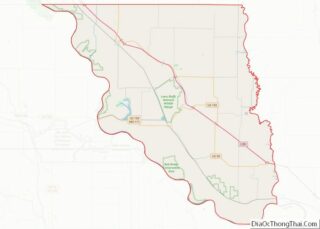
| State: | Missouri |
| County: | Holt County |
| Elevation: | 961 ft (293 m) |
| Total Area: | 1.25 sq mi (3.23 km²) |
| Land Area: | 1.25 sq mi (3.23 km²) |
| Water Area: | 0.00 sq mi (0.00 km²) |
| Total Population: | 1,004 |
| Population Density: | 805.78/sq mi (311.22/km²) |
| ZIP code: | 64470 |
| Area code: | 660 |
| FIPS code: | 2950312 |
| GNISfeature ID: | 2395113 |
| Website: | http://www.moundcitymo.com/ |
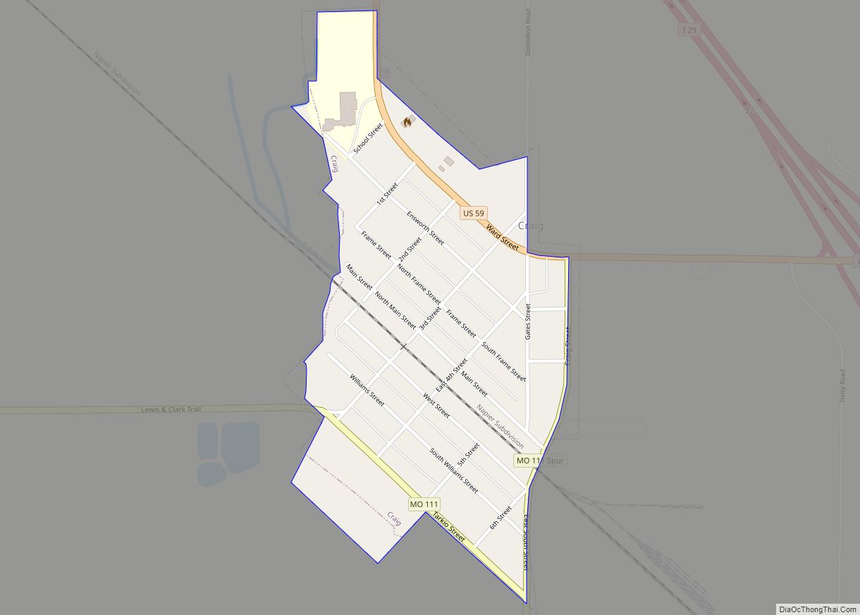
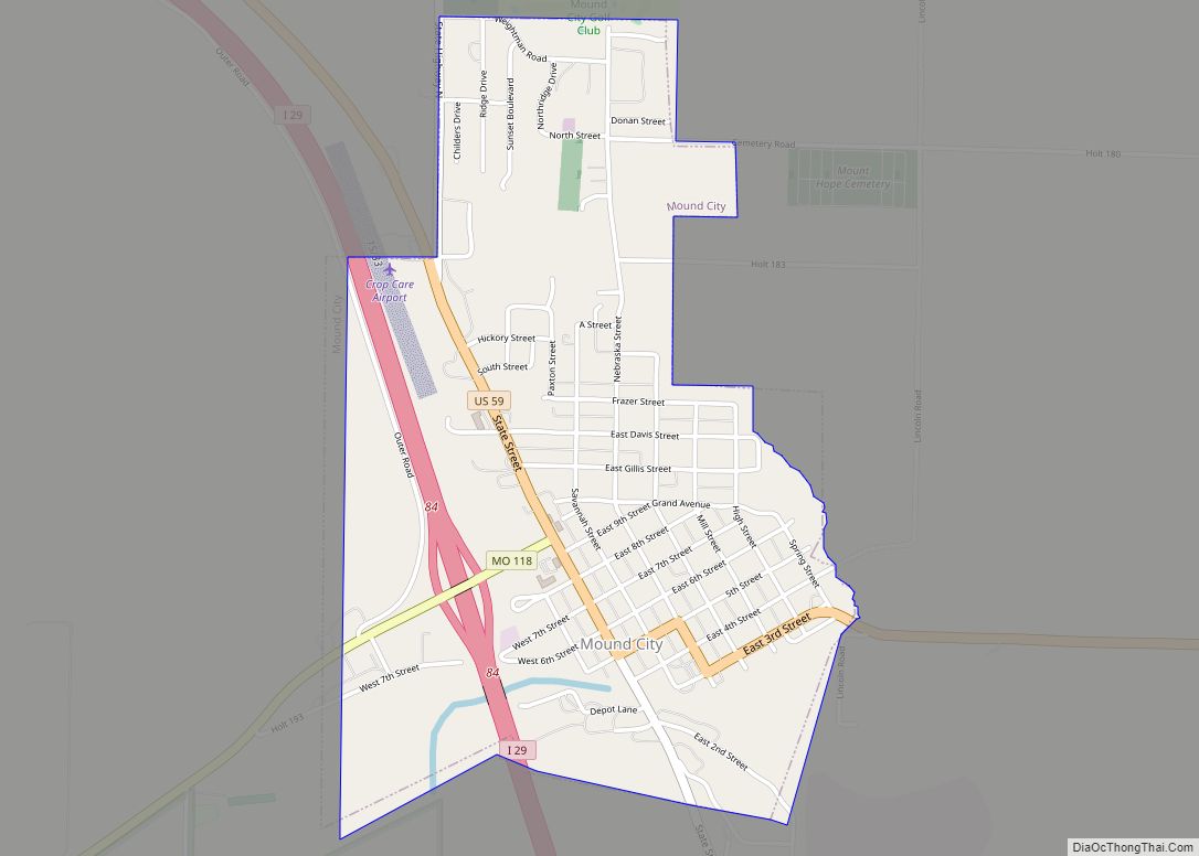
Online Interactive Map
Click on ![]() to view map in "full screen" mode.
to view map in "full screen" mode.
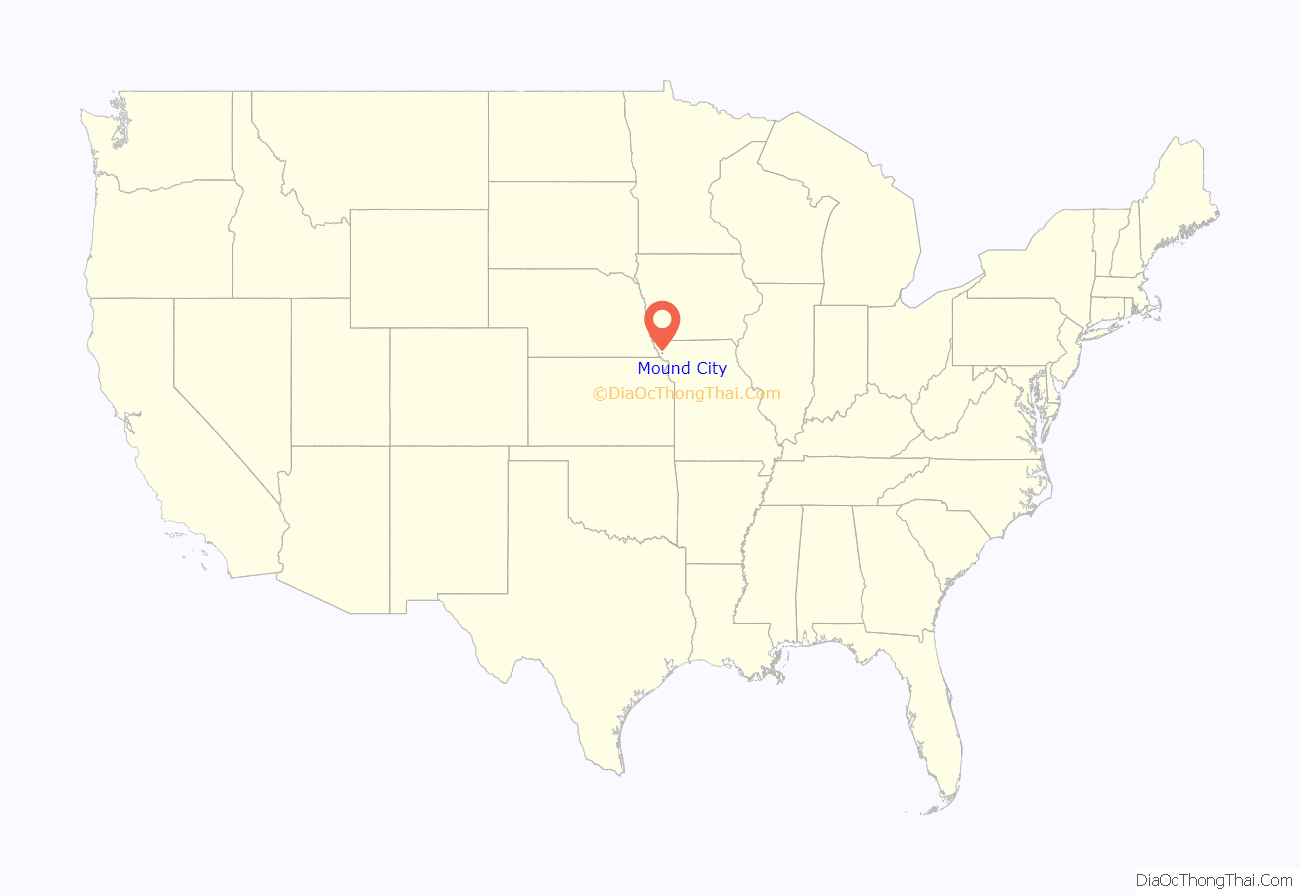
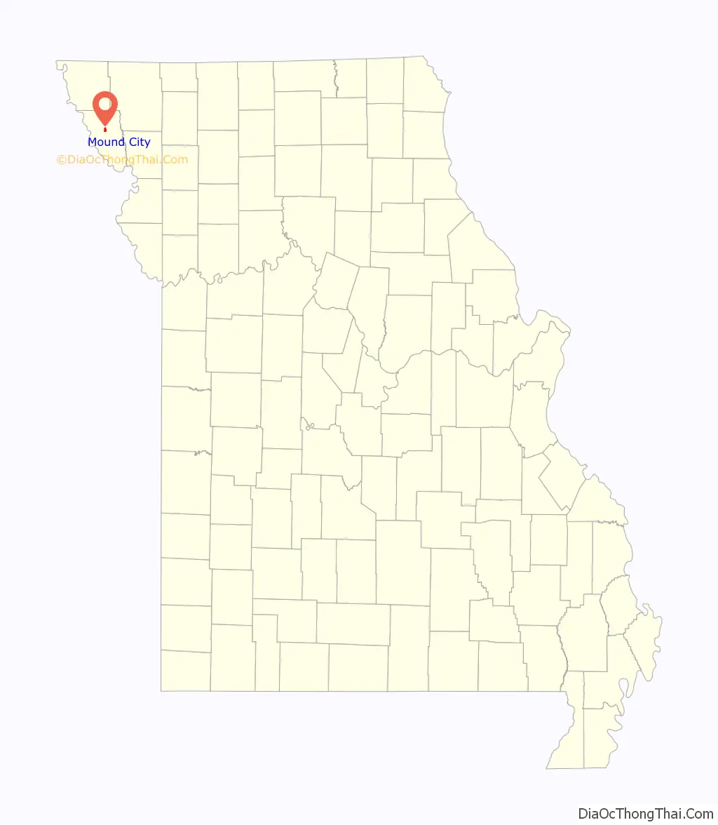
Mound City location map. Where is Mound City city?
History
Mound City was originally called North Point, and under the latter name was platted in 1857. The present name is after mounds near the original town site. A post office called North Point was established in 1855, and the name was changed to Mound City in 1871.
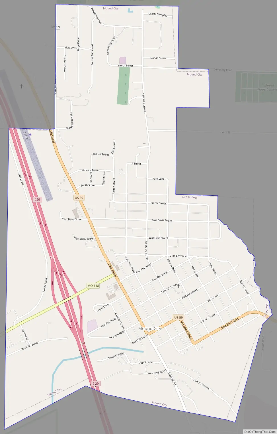
Mound City Road Map
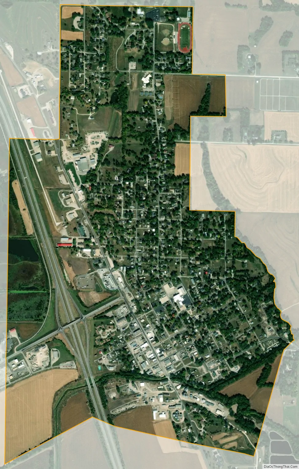
Mound City city Satellite Map
Geography
Mound City is located in the northwest corner of Missouri at the southern end of the Loess Hills. It is named for the hills in the area. According to the United States Census Bureau, the city has a total area of 1.29 square miles (3.34 km), all land.
Mound City is located in what was, in the early 19th century, considered to be unorganized Missouri Territory. In 1836, leaders of the Iowa, Sauk and Meskwaki peoples sold land that included what would become Mound City, as part of the 3,149 square miles (2,015,000 acres; 8,160 km) of the Platte Purchase.
Protected areas
Mound City benefits economically from the Loess Bluffs National Wildlife Refuge, which is about 5 miles (8.0 km) from the city. Since spring snow geese migration numbers first topped one million in March 2008, Mound City and the surrounding area have benefited from the nearly 300,000 visitors they have attracted, including thousands of hunters who hunt in the stubble of corn fields that surround the refuge.
The refuge is estimated to add about $2.6 million to the economies of Holt and Buchanan counties. Hunting is prohibited on the 7,500-acre refuge, but not in the corn fields where the geese feed, which surround the refuge.
See also
Map of Missouri State and its subdivision:- Adair
- Andrew
- Atchison
- Audrain
- Barry
- Barton
- Bates
- Benton
- Bollinger
- Boone
- Buchanan
- Butler
- Caldwell
- Callaway
- Camden
- Cape Girardeau
- Carroll
- Carter
- Cass
- Cedar
- Chariton
- Christian
- Clark
- Clay
- Clinton
- Cole
- Cooper
- Crawford
- Dade
- Dallas
- Daviess
- De Kalb
- Dent
- Douglas
- Dunklin
- Franklin
- Gasconade
- Gentry
- Greene
- Grundy
- Harrison
- Henry
- Hickory
- Holt
- Howard
- Howell
- Iron
- Jackson
- Jasper
- Jefferson
- Johnson
- Knox
- Laclede
- Lafayette
- Lawrence
- Lewis
- Lincoln
- Linn
- Livingston
- Macon
- Madison
- Maries
- Marion
- McDonald
- Mercer
- Miller
- Mississippi
- Moniteau
- Monroe
- Montgomery
- Morgan
- New Madrid
- Newton
- Nodaway
- Oregon
- Osage
- Ozark
- Pemiscot
- Perry
- Pettis
- Phelps
- Pike
- Platte
- Polk
- Pulaski
- Putnam
- Ralls
- Randolph
- Ray
- Reynolds
- Ripley
- Saint Charles
- Saint Clair
- Saint Francois
- Saint Louis
- Sainte Genevieve
- Saline
- Schuyler
- Scotland
- Scott
- Shannon
- Shelby
- Stoddard
- Stone
- Sullivan
- Taney
- Texas
- Vernon
- Warren
- Washington
- Wayne
- Webster
- Worth
- Wright
- Alabama
- Alaska
- Arizona
- Arkansas
- California
- Colorado
- Connecticut
- Delaware
- District of Columbia
- Florida
- Georgia
- Hawaii
- Idaho
- Illinois
- Indiana
- Iowa
- Kansas
- Kentucky
- Louisiana
- Maine
- Maryland
- Massachusetts
- Michigan
- Minnesota
- Mississippi
- Missouri
- Montana
- Nebraska
- Nevada
- New Hampshire
- New Jersey
- New Mexico
- New York
- North Carolina
- North Dakota
- Ohio
- Oklahoma
- Oregon
- Pennsylvania
- Rhode Island
- South Carolina
- South Dakota
- Tennessee
- Texas
- Utah
- Vermont
- Virginia
- Washington
- West Virginia
- Wisconsin
- Wyoming