Mountain Grove is a city in Wright County and Texas County in the U.S. state of Missouri. It lies within the Ozarks in the south-central part of the state. The population was 4,313 at the 2020 census.
| Name: | Mountain Grove city |
|---|---|
| LSAD Code: | 25 |
| LSAD Description: | city (suffix) |
| State: | Missouri |
| County: | Texas County, Wright County |
| Elevation: | 1,483 ft (452 m) |
| Total Area: | 4.05 sq mi (10.48 km²) |
| Land Area: | 4.01 sq mi (10.40 km²) |
| Water Area: | 0.03 sq mi (0.08 km²) |
| Total Population: | 4,313 |
| Population Density: | 1,074.22/sq mi (414.78/km²) |
| ZIP code: | 65711 |
| Area code: | 417 |
| FIPS code: | 2950402 |
| GNISfeature ID: | 2395132 |
| Website: | https://www.mountaingrove.net/ |
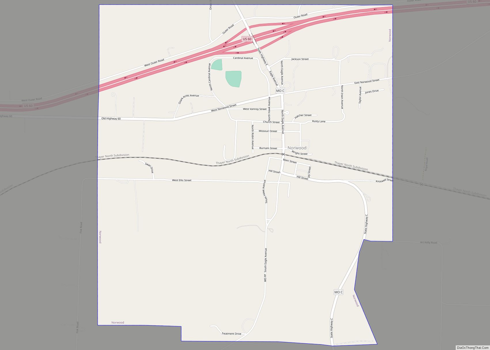
Online Interactive Map
Click on ![]() to view map in "full screen" mode.
to view map in "full screen" mode.
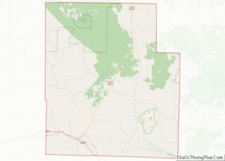
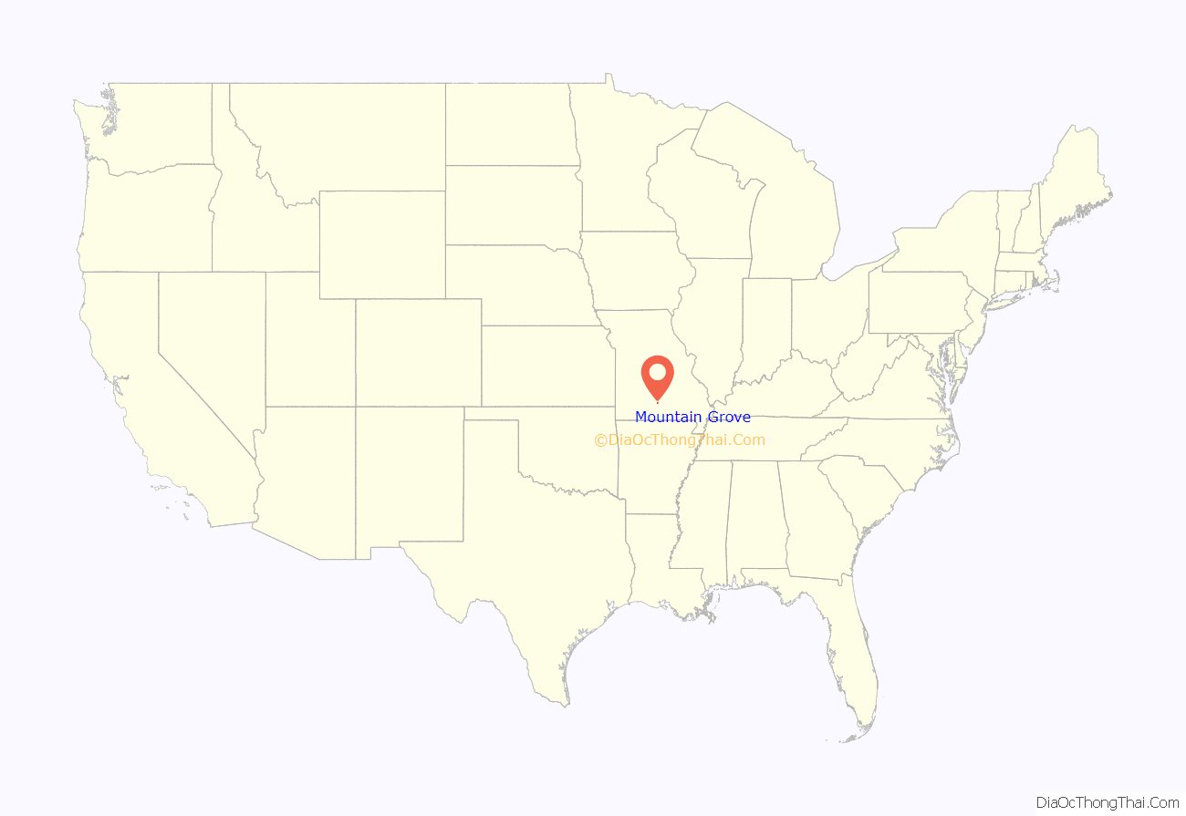
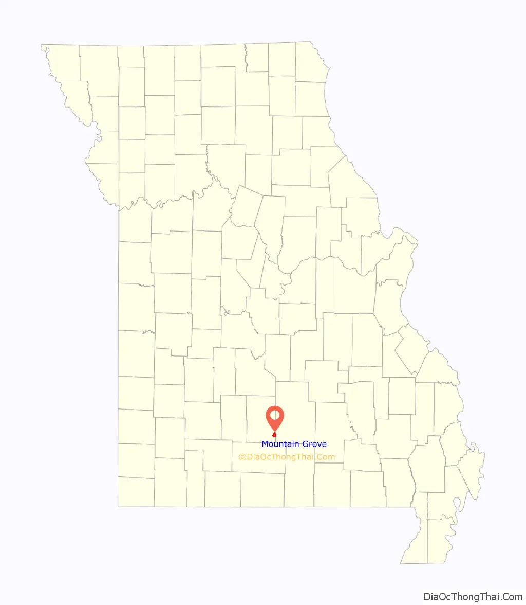
Mountain Grove location map. Where is Mountain Grove city?
History
A post office called Mountain Grove has been in operation since 1875. The community owes its present name to a stand of trees near the original elevated town site.
In 1841 a settlement was built on land east of Mountain Grove near a spring in a grove of hickory timber. A post office was established in Hickory Spring, the original name of Mountain Grove, in 1851, but was removed in 1861. A new post office was named for Judge Robert W. Fyan, a prominent figure in early county history. In 1859, a general store was built at the crossroads about one mile west of Hickory Spring. The Fyan post office’s name was changed to Mountain Grove, with reference to its location on a ridge in a grove of trees, in 1878.
On March 9, 1862, there was a skirmish in the town.
This became known as the “mountain store, mountain grove or the mountain” due to its elevation of 1,525 feet (465 m). One of the most famous incidents in Mountain Grove occurred in the middle of May 1883, when what was called a “nipping frost” caused every tree, sapling and shrub in the community of Fyan and the Fyan depot to be cut clean as from an axe. Thus, the joining of Mountain Grove and adjoining Fyan occurred. In June, the name of the depot was changed to Mountain Grove. The town reapplied for a charter in 1886, changed its boundaries and held its first election.
Buildings within or near the city listed on the National Register of Historic Places include the Administration Building, Missouri State Fruit Experiment Station, Mountain Grove Bandstand, and Mountain Grove City Hall.
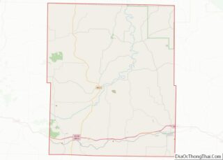
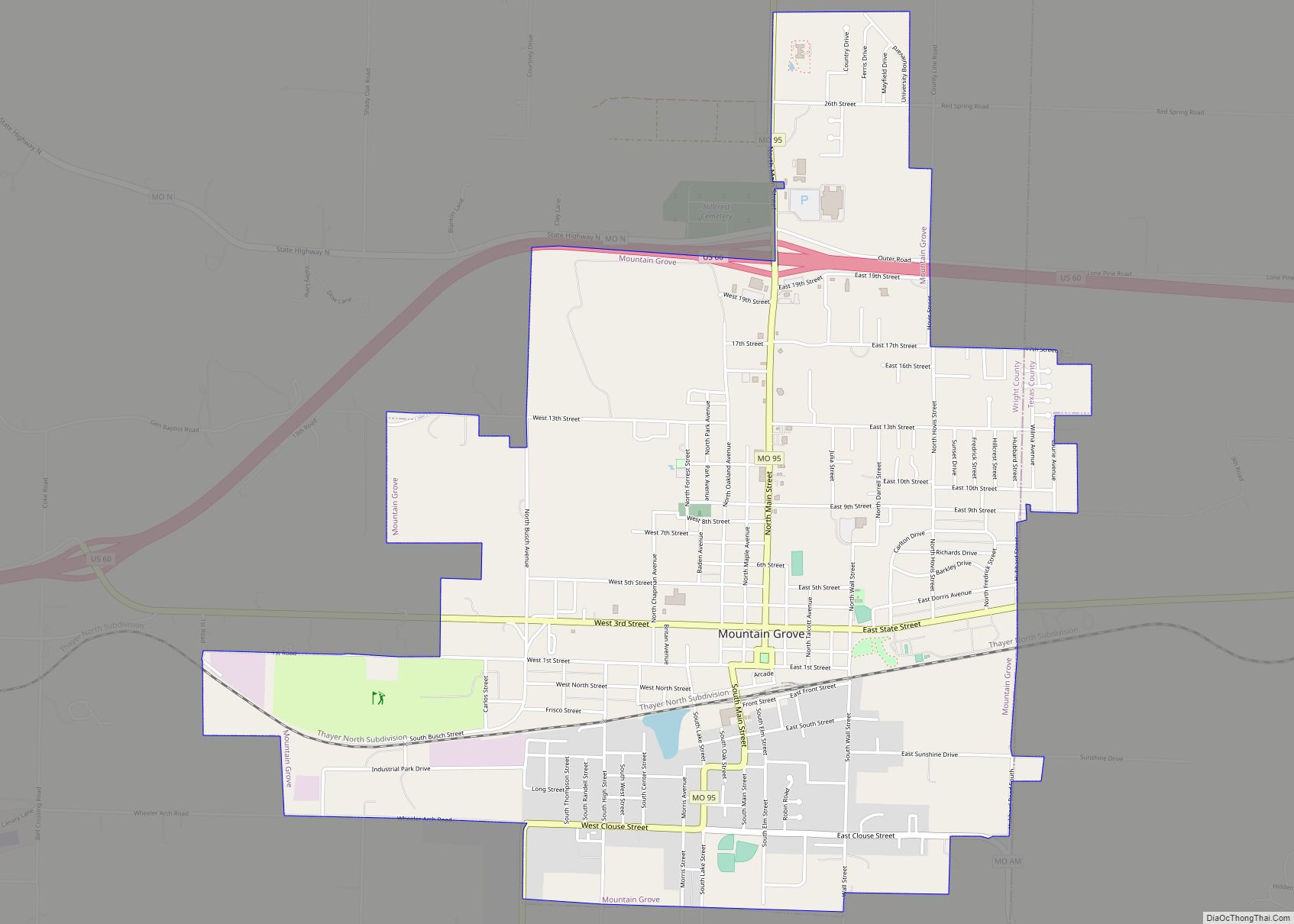
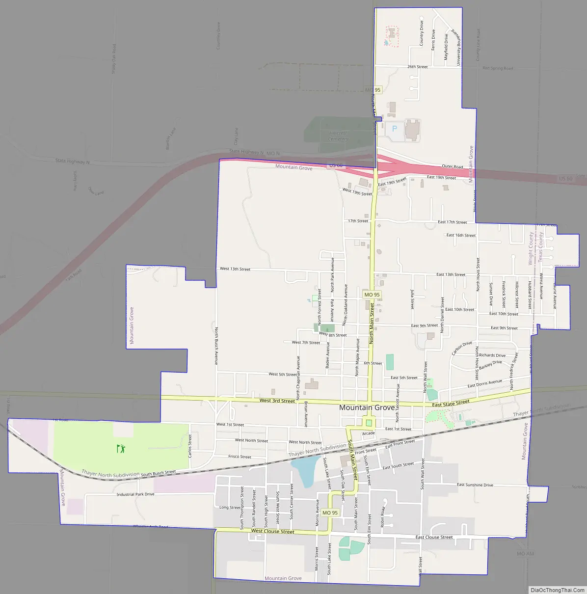
Mountain Grove Road Map
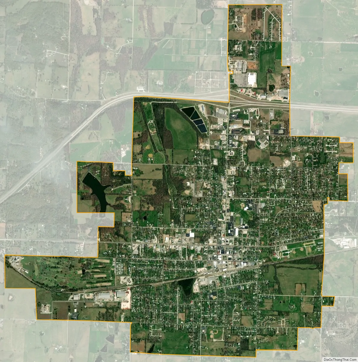
Mountain Grove city Satellite Map
Geography
Mountain Grove is located in the Ozarks, along the south edge of the Salem Plateau. The community is served by US Route 60 and Missouri Route 95. The community is mostly within Wright County, with the eastern portion extending into Texas County. The town sits on the drainage divide between the White River tributaries to the south and the Missouri River tributaries to the north.
According to the United States Census Bureau, the city has a total area of 4.04 square miles (10.46 km), of which 4.01 square miles (10.39 km) is land and 0.03 square miles (0.08 km) is water. The city of Mountain Grove is also directly on the border with neighboring Texas County.
Climate
See also
Map of Missouri State and its subdivision:- Adair
- Andrew
- Atchison
- Audrain
- Barry
- Barton
- Bates
- Benton
- Bollinger
- Boone
- Buchanan
- Butler
- Caldwell
- Callaway
- Camden
- Cape Girardeau
- Carroll
- Carter
- Cass
- Cedar
- Chariton
- Christian
- Clark
- Clay
- Clinton
- Cole
- Cooper
- Crawford
- Dade
- Dallas
- Daviess
- De Kalb
- Dent
- Douglas
- Dunklin
- Franklin
- Gasconade
- Gentry
- Greene
- Grundy
- Harrison
- Henry
- Hickory
- Holt
- Howard
- Howell
- Iron
- Jackson
- Jasper
- Jefferson
- Johnson
- Knox
- Laclede
- Lafayette
- Lawrence
- Lewis
- Lincoln
- Linn
- Livingston
- Macon
- Madison
- Maries
- Marion
- McDonald
- Mercer
- Miller
- Mississippi
- Moniteau
- Monroe
- Montgomery
- Morgan
- New Madrid
- Newton
- Nodaway
- Oregon
- Osage
- Ozark
- Pemiscot
- Perry
- Pettis
- Phelps
- Pike
- Platte
- Polk
- Pulaski
- Putnam
- Ralls
- Randolph
- Ray
- Reynolds
- Ripley
- Saint Charles
- Saint Clair
- Saint Francois
- Saint Louis
- Sainte Genevieve
- Saline
- Schuyler
- Scotland
- Scott
- Shannon
- Shelby
- Stoddard
- Stone
- Sullivan
- Taney
- Texas
- Vernon
- Warren
- Washington
- Wayne
- Webster
- Worth
- Wright
- Alabama
- Alaska
- Arizona
- Arkansas
- California
- Colorado
- Connecticut
- Delaware
- District of Columbia
- Florida
- Georgia
- Hawaii
- Idaho
- Illinois
- Indiana
- Iowa
- Kansas
- Kentucky
- Louisiana
- Maine
- Maryland
- Massachusetts
- Michigan
- Minnesota
- Mississippi
- Missouri
- Montana
- Nebraska
- Nevada
- New Hampshire
- New Jersey
- New Mexico
- New York
- North Carolina
- North Dakota
- Ohio
- Oklahoma
- Oregon
- Pennsylvania
- Rhode Island
- South Carolina
- South Dakota
- Tennessee
- Texas
- Utah
- Vermont
- Virginia
- Washington
- West Virginia
- Wisconsin
- Wyoming