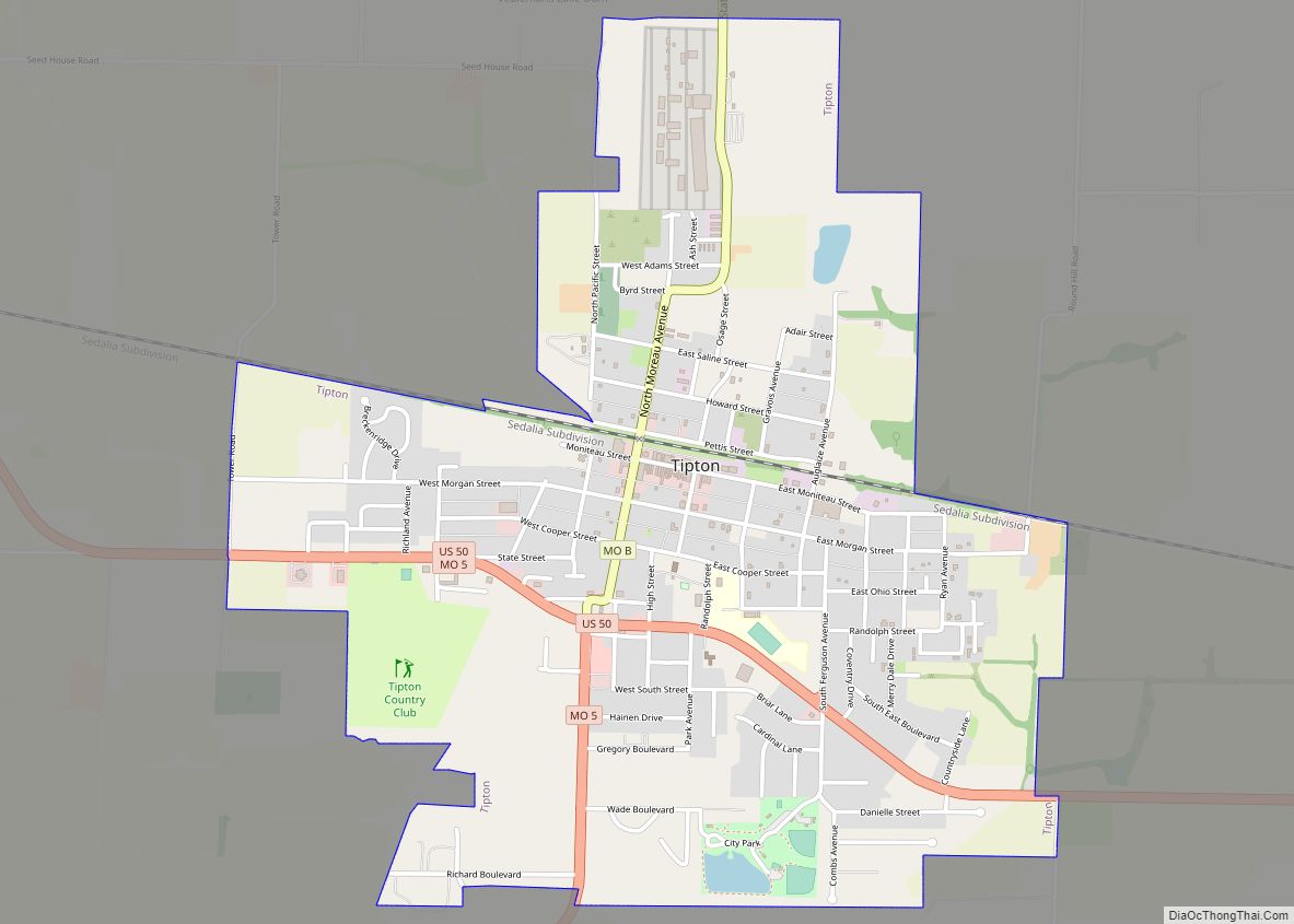
Tipton is a city in Moniteau County, Missouri, United States. The population was 3,262 at the 2010 census. It is part of the Jefferson City, Missouri Metropolitan Statistical Area. Tipton city overview: Name: Tipton city LSAD Code: 25 LSAD Description: city (suffix) State: Missouri County: Moniteau County Elevation: 929 ft (283 m) Total Area: 2.11 sq mi (5.46 km²) Land ... Read more
Missouri Cities and Places
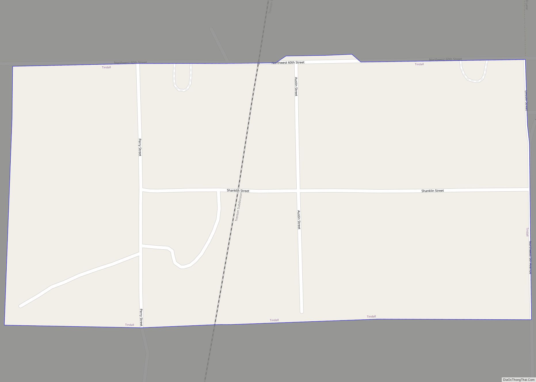
Tindall is a city in Grundy County, Missouri, United States. The population was 46 as of the 2020 census. Tindall town overview: Name: Tindall town LSAD Code: 43 LSAD Description: town (suffix) State: Missouri County: Grundy County Elevation: 791 ft (241 m) Total Area: 0.13 sq mi (0.34 km²) Land Area: 0.13 sq mi (0.34 km²) Water Area: 0.00 sq mi (0.00 km²) Total Population: 46 ... Read more
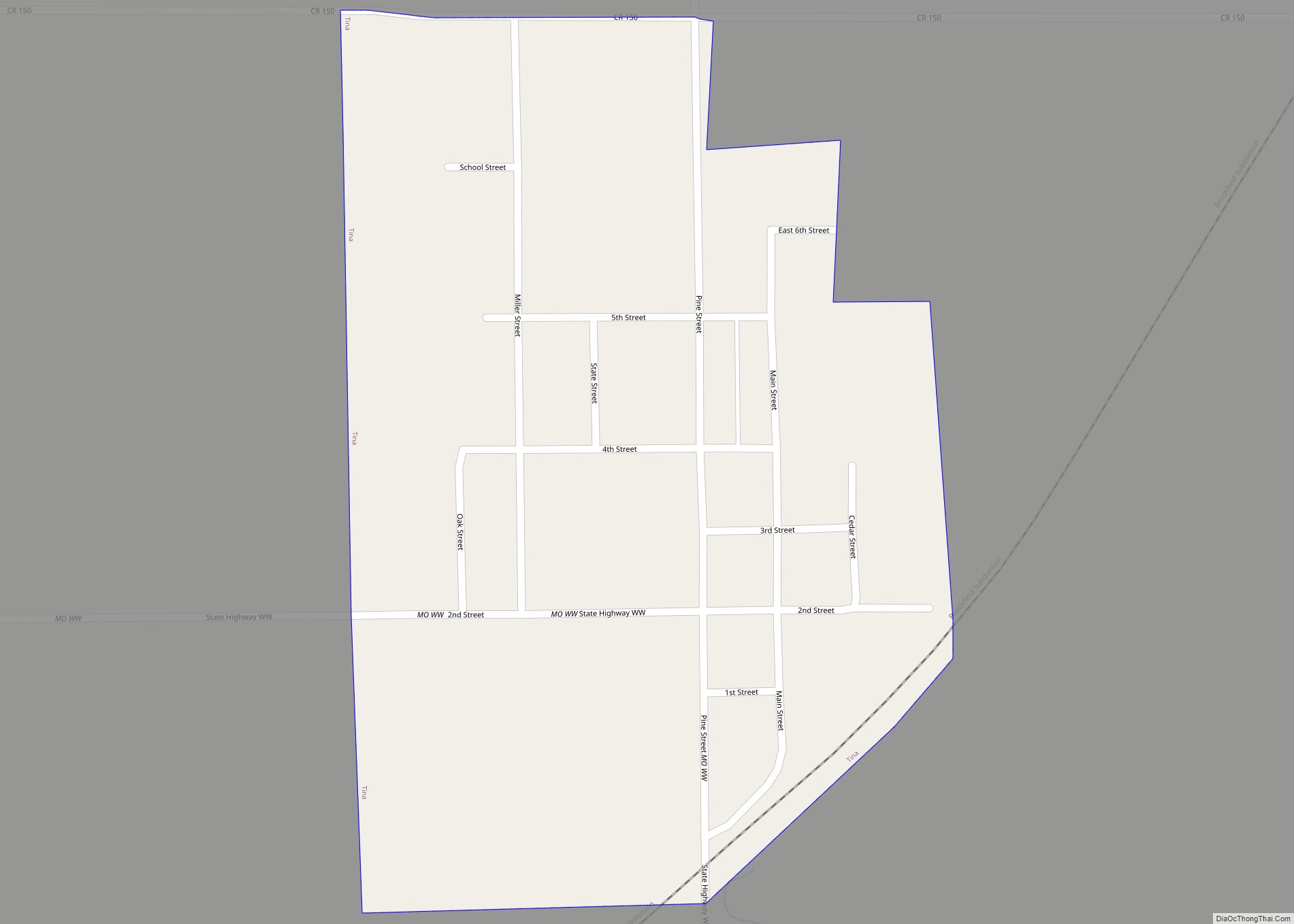
Tina is a village in northeast Carroll County, Missouri, United States. The population was 139 at the 2020 census. Tina village overview: Name: Tina village LSAD Code: 47 LSAD Description: village (suffix) State: Missouri County: Carroll County Elevation: 745 ft (227 m) Total Area: 0.32 sq mi (0.83 km²) Land Area: 0.32 sq mi (0.83 km²) Water Area: 0.00 sq mi (0.00 km²) Total Population: 139 ... Read more
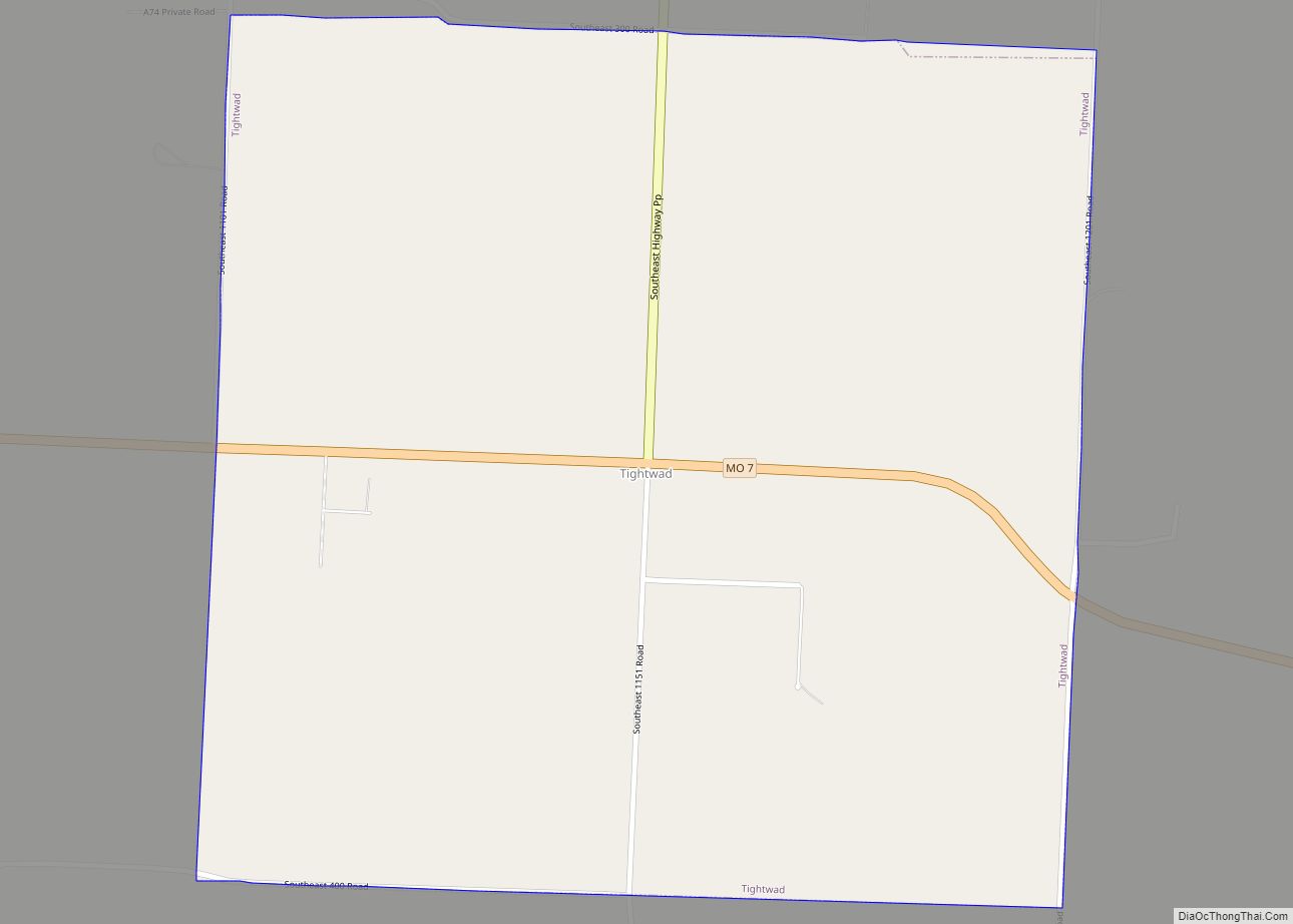
Tightwad is a village in Henry County, Missouri, United States. Its population was 64 at the 2010 United States Census. Tightwad is located along Missouri Route 7. Tightwad village overview: Name: Tightwad village LSAD Code: 47 LSAD Description: village (suffix) State: Missouri County: Henry County Elevation: 876 ft (267 m) Total Area: 1.01 sq mi (2.61 km²) Land Area: 1.00 sq mi ... Read more
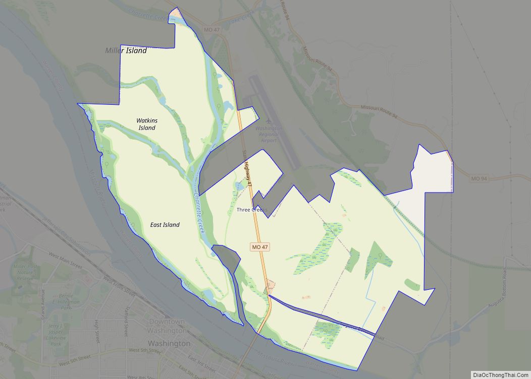
Three Creeks village overview: Name: Three Creeks village LSAD Code: 47 LSAD Description: village (suffix) State: Missouri County: Warren County FIPS code: 2973127 Online Interactive Map Three Creeks online map. Source: Basemap layers from Google Map, Open Street Map (OSM), Arcgisonline, Wmflabs. Boundary Data from Database of Global Administrative Areas. Three Creeks location map. Where ... Read more
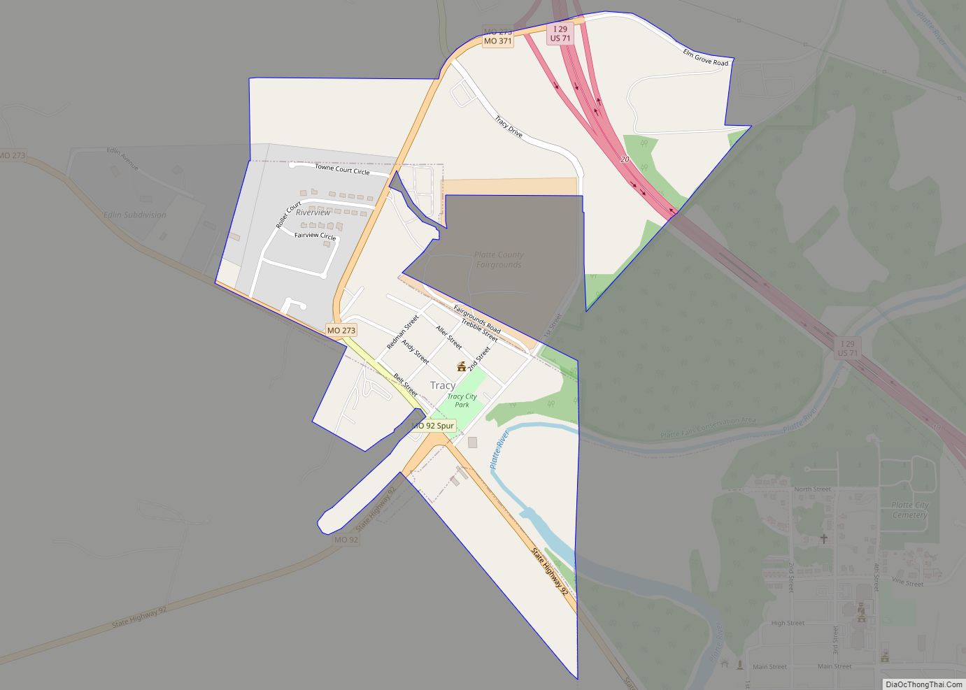
Tracy is a city in Platte County, Missouri within the United States, located along the Platte River. The population was 269 at the 2020 census. The city is part of the Kansas City metropolitan area. Tracy city overview: Name: Tracy city LSAD Code: 25 LSAD Description: city (suffix) State: Missouri County: Platte County Elevation: 755 ft ... Read more
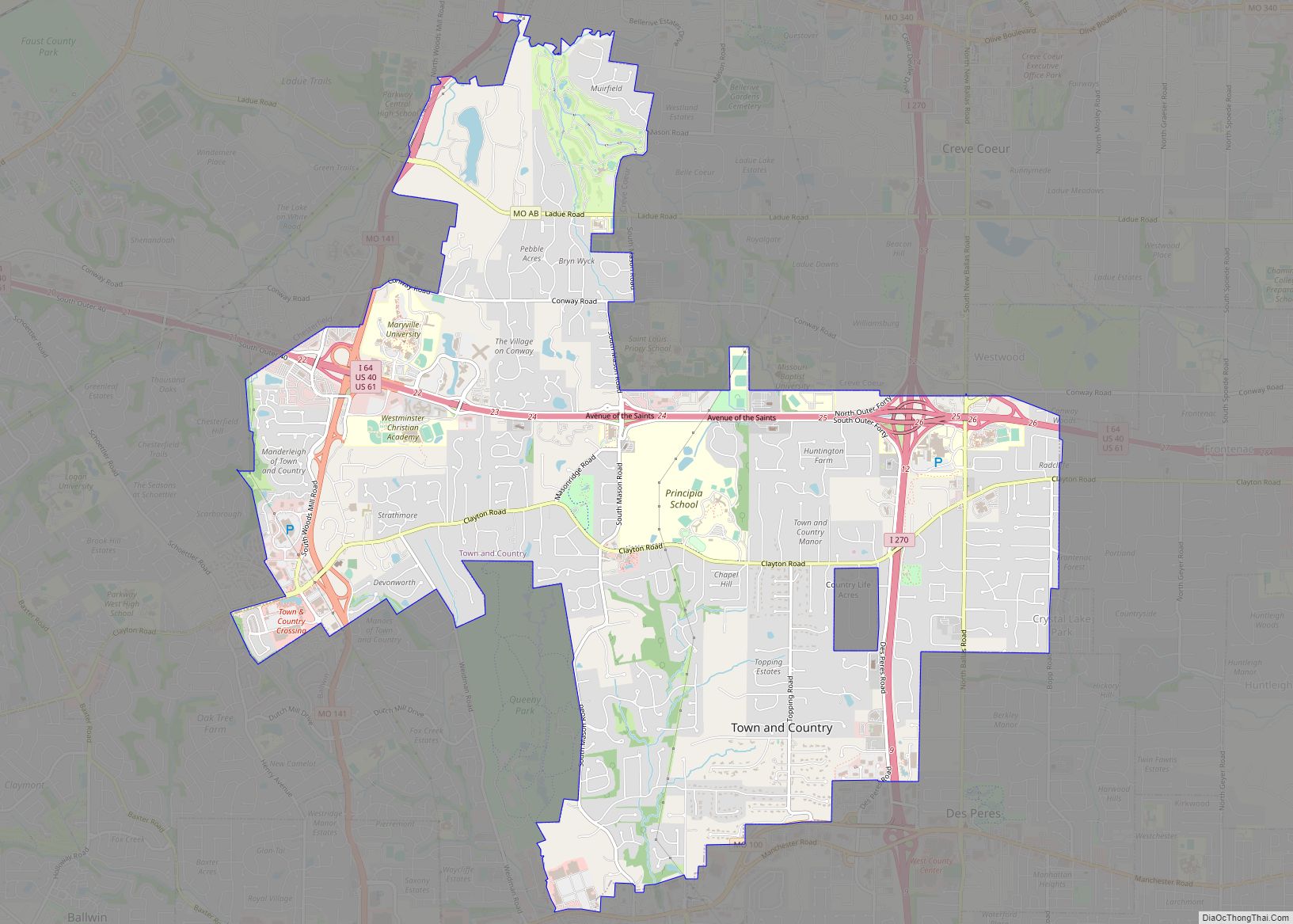
Town and Country is a city in west St. Louis County, Missouri, United States with a population of 11,640 as of the 2020 census. It is home to Missouri Baptist Medical Center, (locally known as MoBap). Town and Country has the highest median household income ($134,387 in 2009) of any city in Missouri with a ... Read more
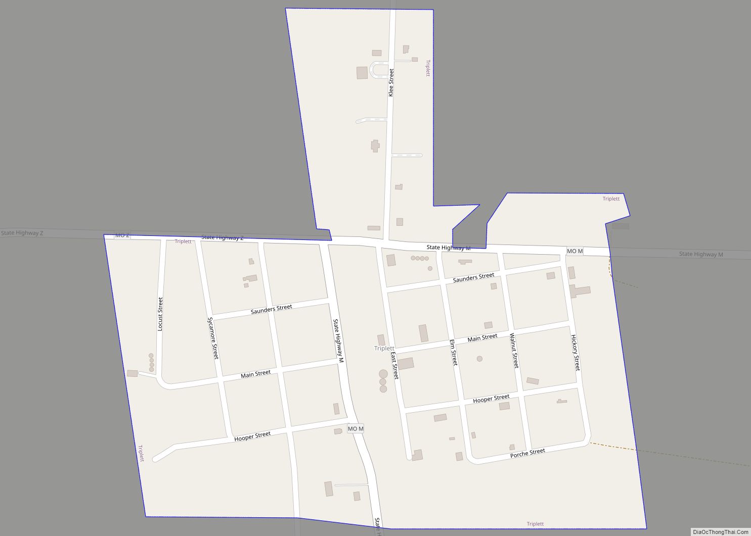
Triplett is a city in Chariton County, Missouri, United States. The population was 33 at the 2020 census. Triplett city overview: Name: Triplett city LSAD Code: 25 LSAD Description: city (suffix) State: Missouri County: Chariton County Elevation: 659 ft (201 m) Total Area: 0.23 sq mi (0.60 km²) Land Area: 0.23 sq mi (0.60 km²) Water Area: 0.00 sq mi (0.00 km²) Total Population: 33 Population ... Read more
Trimble is a city in southwestern Clinton County, Missouri and is part of the Kansas City metropolitan area within the United States. The population was 646 at the 2010 census. Trimble city overview: Name: Trimble city LSAD Code: 25 LSAD Description: city (suffix) State: Missouri County: Clinton County Elevation: 948 ft (289 m) Total Area: 0.59 sq mi (1.53 km²) ... Read more
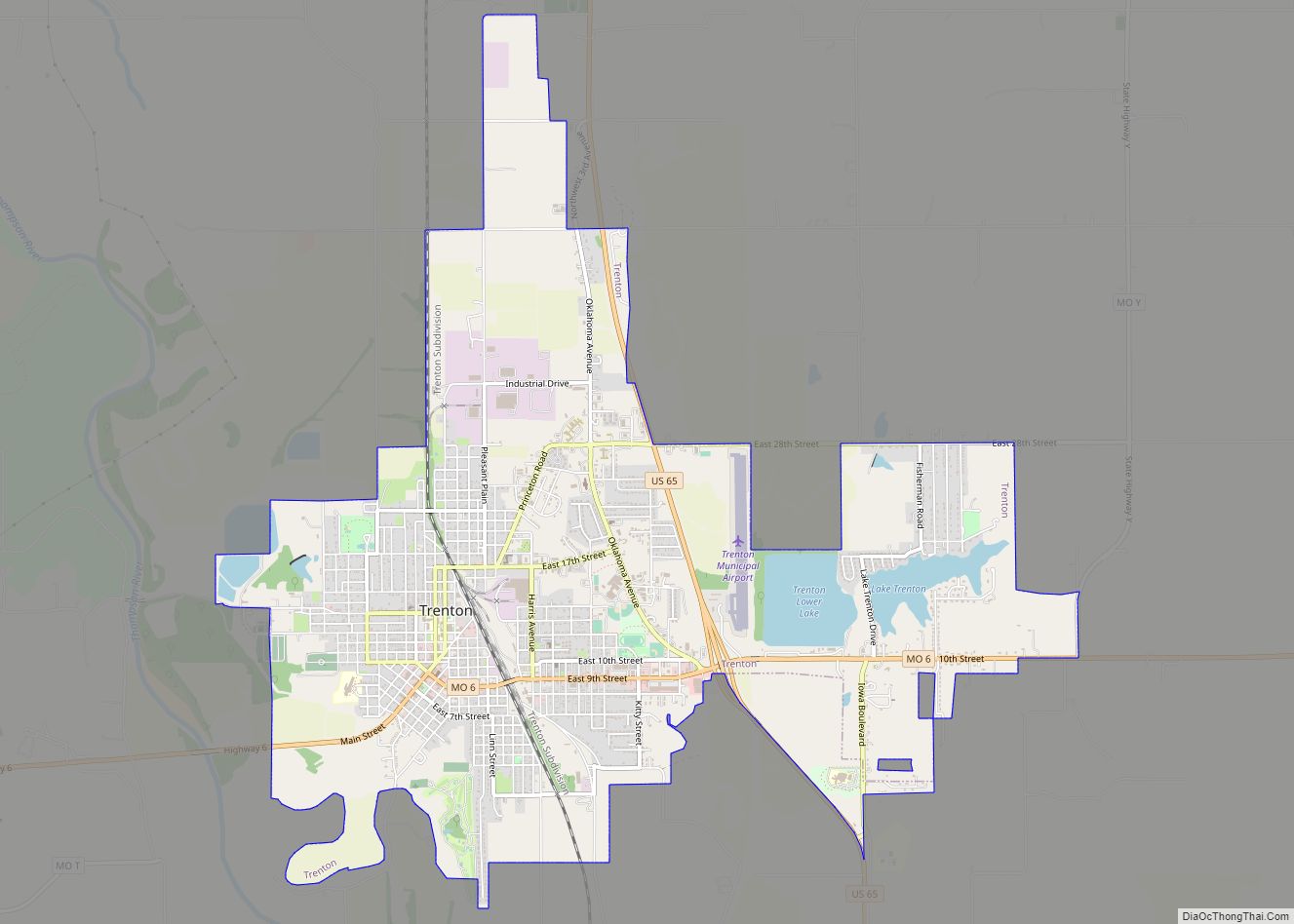
Trenton is a city in Grundy County, Missouri, United States. The population was 5,609 at the 2020 census. It is the county seat of Grundy County. The city used to be the world’s largest producer of vienna sausages (at its biggest employer, the ConAgra Grocery Foods plant, now owned by Nestlé). Trenton city overview: Name: ... Read more
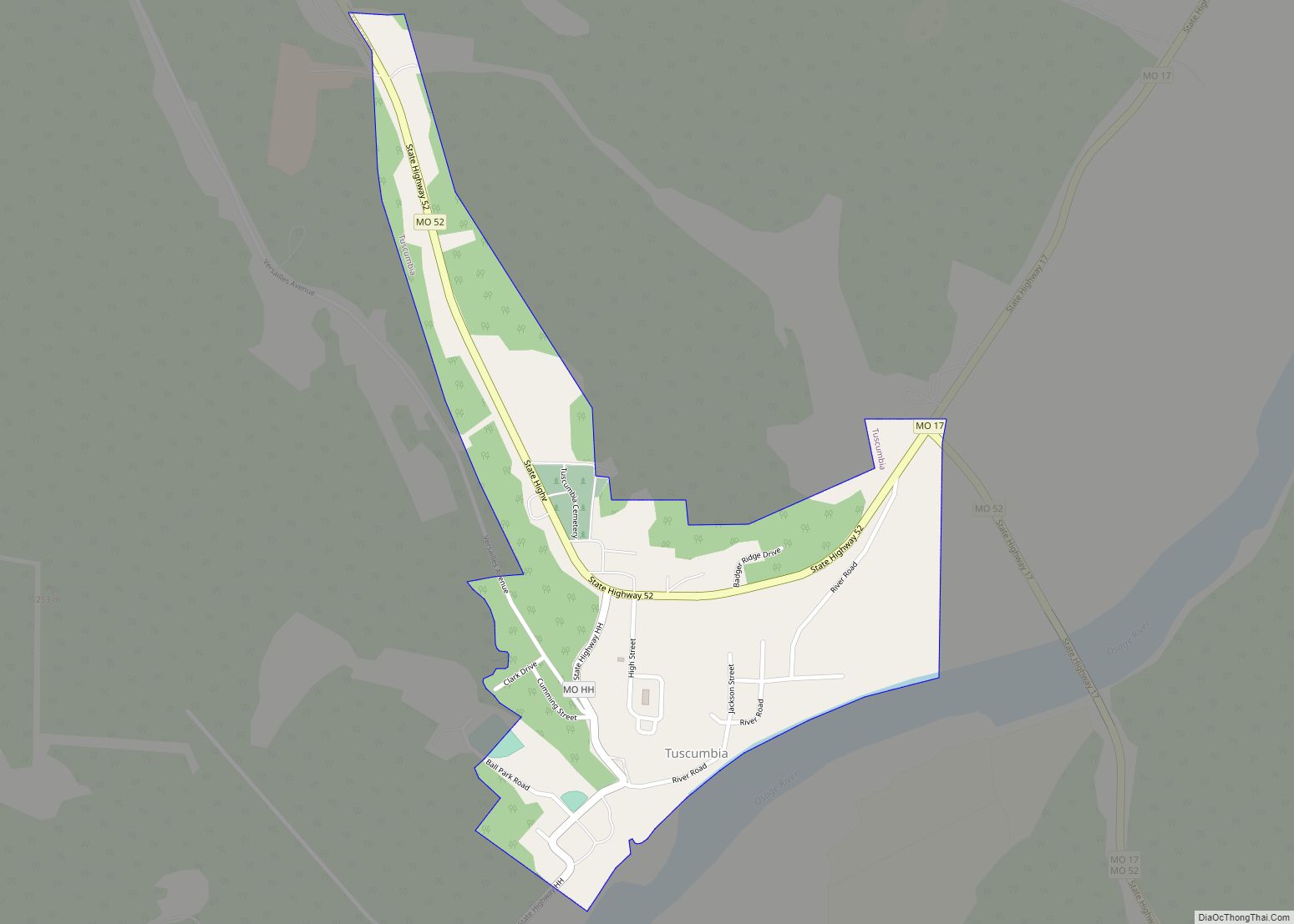
Tuscumbia is a town in and the county seat of Miller County, Missouri, United States. The population was 203 at the 2010 census, at which time it was a town. Tuscumbia town overview: Name: Tuscumbia town LSAD Code: 43 LSAD Description: town (suffix) State: Missouri County: Miller County Founded: 1837 Incorporated: 1837 Elevation: 725 ft (221 m) ... Read more
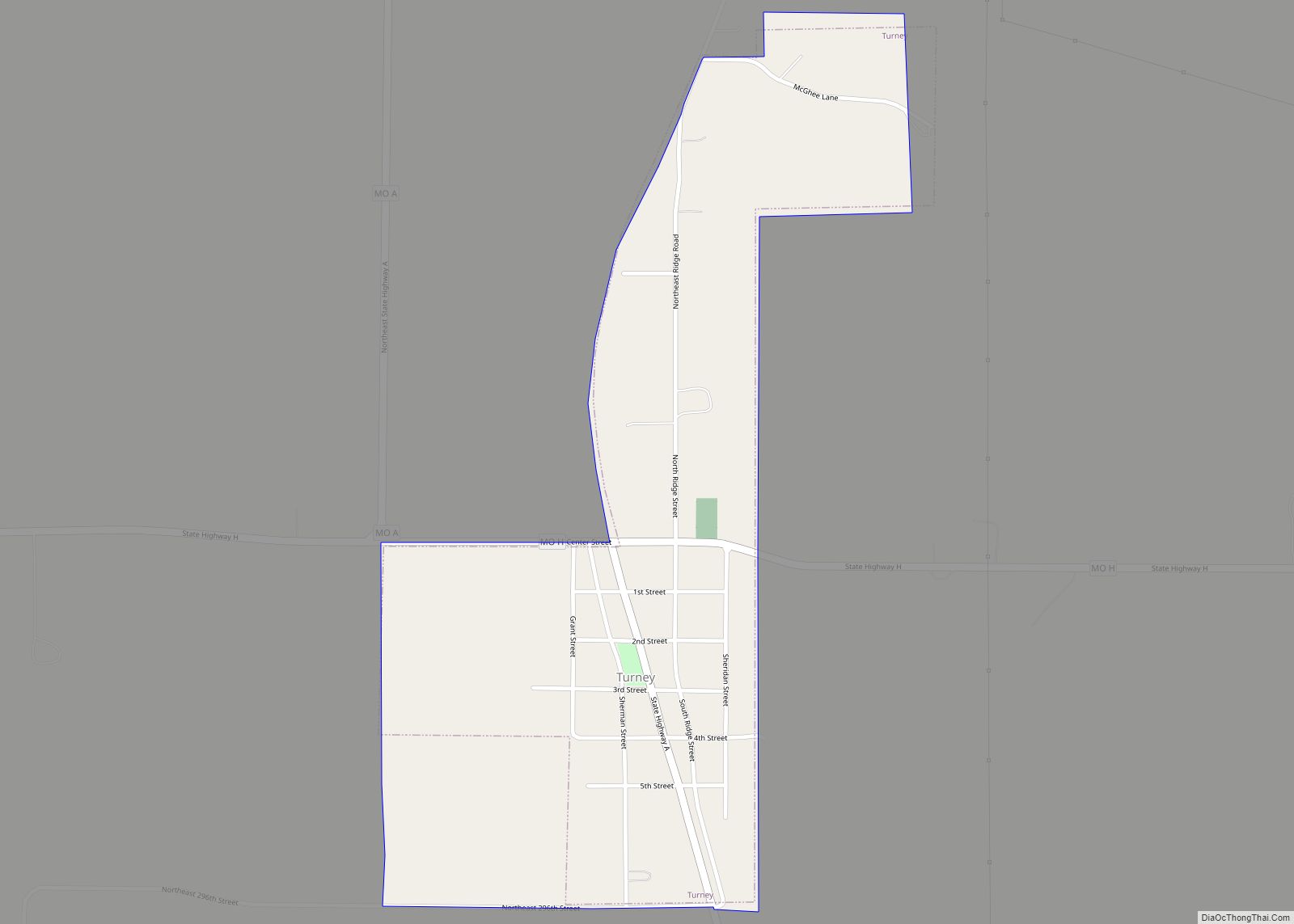
Turney is a village in Clinton County, Missouri and is part of the Kansas City metropolitan area within the United States. The population was 148 at the 2010 census. Turney village overview: Name: Turney village LSAD Code: 47 LSAD Description: village (suffix) State: Missouri County: Clinton County Elevation: 1,047 ft (319 m) Total Area: 0.46 sq mi (1.20 km²) Land ... Read more
