Tipton is a city in Moniteau County, Missouri, United States. The population was 3,262 at the 2010 census. It is part of the Jefferson City, Missouri Metropolitan Statistical Area.
| Name: | Tipton city |
|---|---|
| LSAD Code: | 25 |
| LSAD Description: | city (suffix) |
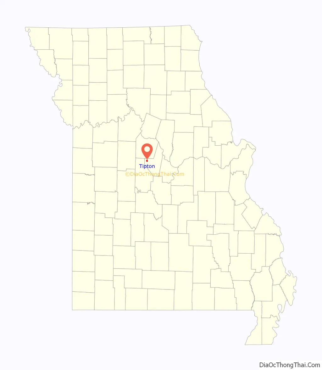
| State: | Missouri |
| County: | Moniteau County |
| Elevation: | 929 ft (283 m) |
| Total Area: | 2.11 sq mi (5.46 km²) |
| Land Area: | 2.09 sq mi (5.42 km²) |
| Water Area: | 0.02 sq mi (0.05 km²) |
| Total Population: | 2,920 |
| Population Density: | 1,396.46/sq mi (539.10/km²) |
| ZIP code: | 65081 |
| Area code: | 660 |
| FIPS code: | 2973420 |
| GNISfeature ID: | 2397030 |
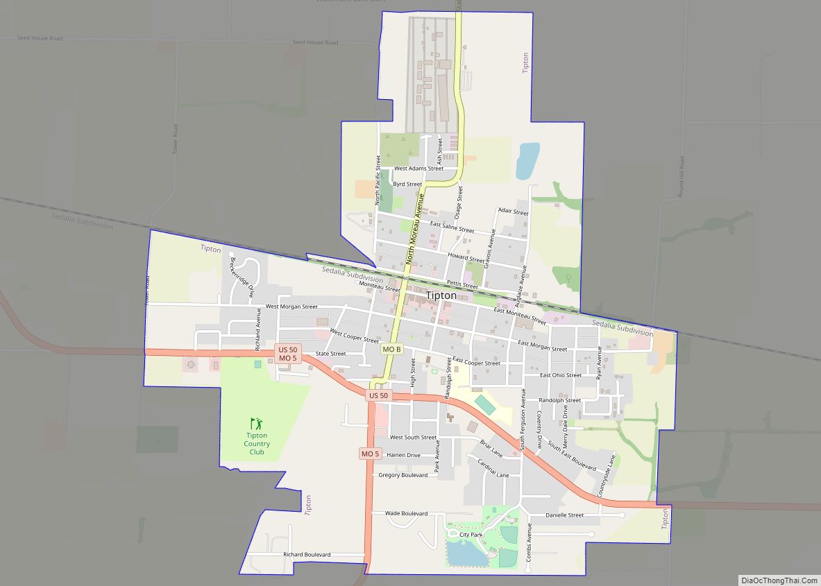
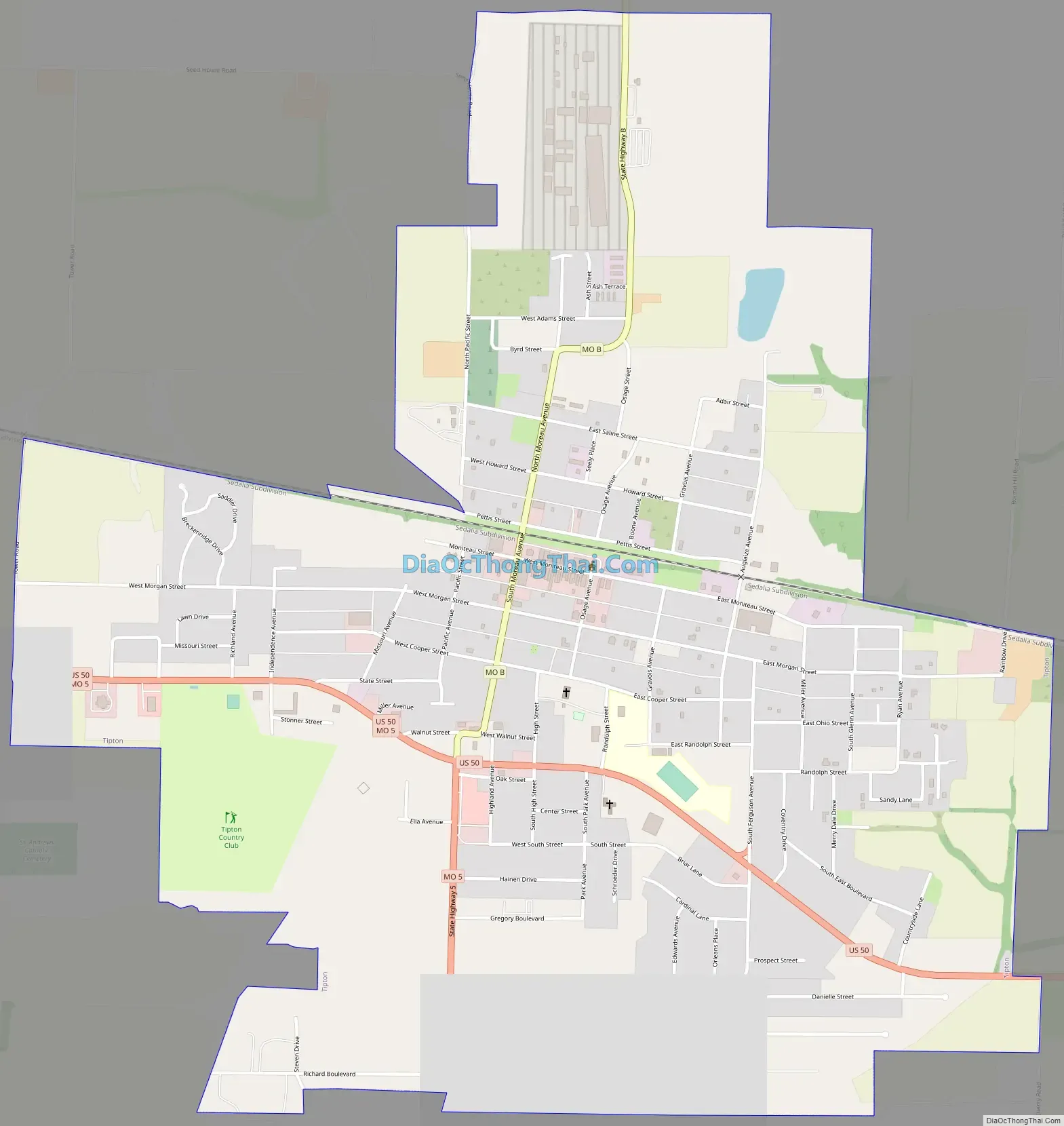
Online Interactive Map
Click on ![]() to view map in "full screen" mode.
to view map in "full screen" mode.
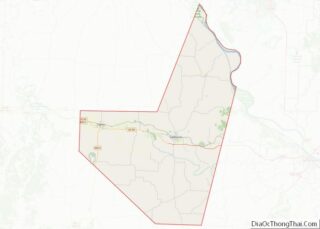
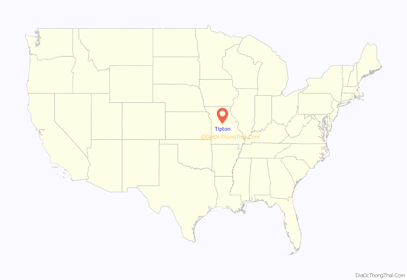
Tipton location map. Where is Tipton city?
History
Tipton was a predominately a German-American community, in the Missouri Weinstrasse. Tipton was an eastern terminus of the Butterfield Overland Mail when it was launched in 1858. The route was connected to St. Louis by the Pacific Railroad. Tipton is named for William Tipton Seely, a businessman in nearby Round Hill. He received the land for his service in the War of 1812. From Tipton, a stage went to Fort Smith, Arkansas (where another branch from Memphis also entered). From there, it went on to Los Angeles and San Francisco via a route through southern Arizona and New Mexico. The first run went from Tipton to San Francisco from September 16 to October 10, 1858. The route antedated the Pony Express by two years. Per a 2009 Congressional mandate, the National Park Service is studying whether to designate the route a National Historic Trail.
The Maclay Mansion was listed on the National Register of Historic Places in 1979.
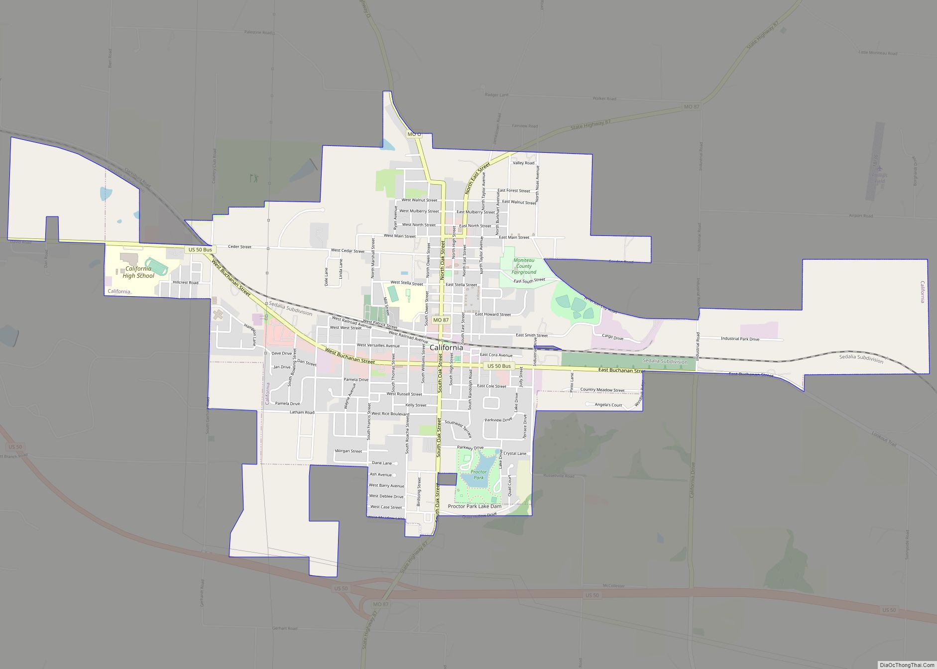
Tipton Road Map
Tipton city Satellite Map

Geography
Tipton is located at the intersection of U.S. Route 50 and Missouri Route 5. It is eleven miles west of California and four miles east of Syracuse in adjacent Morgan County. Versailles is about 15 miles south on Route 5 in Morgan County.
According to the United States Census Bureau, the city has a total area of 2.11 square miles (5.46 km), of which 2.09 square miles (5.41 km) is land and 0.02 square miles (0.05 km) is water.
See also
Map of Missouri State and its subdivision:- Adair
- Andrew
- Atchison
- Audrain
- Barry
- Barton
- Bates
- Benton
- Bollinger
- Boone
- Buchanan
- Butler
- Caldwell
- Callaway
- Camden
- Cape Girardeau
- Carroll
- Carter
- Cass
- Cedar
- Chariton
- Christian
- Clark
- Clay
- Clinton
- Cole
- Cooper
- Crawford
- Dade
- Dallas
- Daviess
- De Kalb
- Dent
- Douglas
- Dunklin
- Franklin
- Gasconade
- Gentry
- Greene
- Grundy
- Harrison
- Henry
- Hickory
- Holt
- Howard
- Howell
- Iron
- Jackson
- Jasper
- Jefferson
- Johnson
- Knox
- Laclede
- Lafayette
- Lawrence
- Lewis
- Lincoln
- Linn
- Livingston
- Macon
- Madison
- Maries
- Marion
- McDonald
- Mercer
- Miller
- Mississippi
- Moniteau
- Monroe
- Montgomery
- Morgan
- New Madrid
- Newton
- Nodaway
- Oregon
- Osage
- Ozark
- Pemiscot
- Perry
- Pettis
- Phelps
- Pike
- Platte
- Polk
- Pulaski
- Putnam
- Ralls
- Randolph
- Ray
- Reynolds
- Ripley
- Saint Charles
- Saint Clair
- Saint Francois
- Saint Louis
- Sainte Genevieve
- Saline
- Schuyler
- Scotland
- Scott
- Shannon
- Shelby
- Stoddard
- Stone
- Sullivan
- Taney
- Texas
- Vernon
- Warren
- Washington
- Wayne
- Webster
- Worth
- Wright
- Alabama
- Alaska
- Arizona
- Arkansas
- California
- Colorado
- Connecticut
- Delaware
- District of Columbia
- Florida
- Georgia
- Hawaii
- Idaho
- Illinois
- Indiana
- Iowa
- Kansas
- Kentucky
- Louisiana
- Maine
- Maryland
- Massachusetts
- Michigan
- Minnesota
- Mississippi
- Missouri
- Montana
- Nebraska
- Nevada
- New Hampshire
- New Jersey
- New Mexico
- New York
- North Carolina
- North Dakota
- Ohio
- Oklahoma
- Oregon
- Pennsylvania
- Rhode Island
- South Carolina
- South Dakota
- Tennessee
- Texas
- Utah
- Vermont
- Virginia
- Washington
- West Virginia
- Wisconsin
- Wyoming