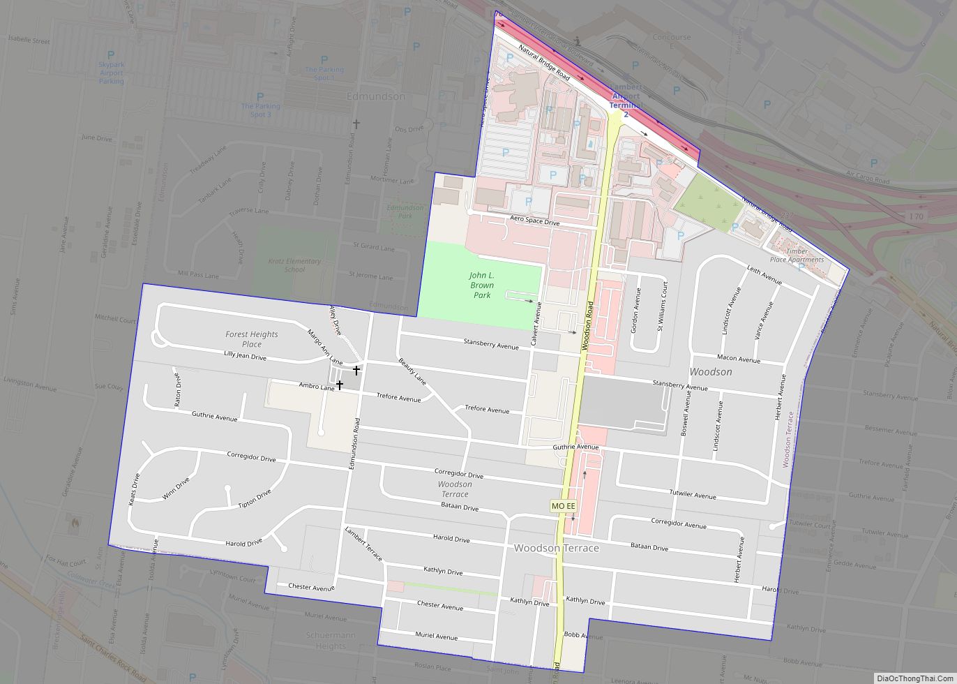
Woodson Terrace is a city in St. Louis County, Missouri, United States. The population was 4,063 at the 2010 census. Woodson Terrace city overview: Name: Woodson Terrace city LSAD Code: 25 LSAD Description: city (suffix) State: Missouri County: St. Louis County Elevation: 594 ft (181 m) Total Area: 0.78 sq mi (2.01 km²) Land Area: 0.78 sq mi (2.01 km²) Water Area: 0.00 sq mi ... Read more
Missouri Cities and Places
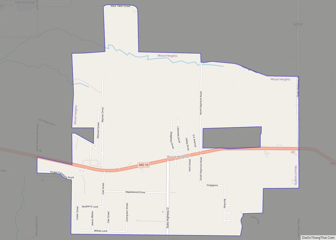
Wood Heights city overview: Name: Wood Heights city LSAD Code: 25 LSAD Description: city (suffix) State: Missouri County: Ray County FIPS code: 2980767 Online Interactive Map Wood Heights online map. Source: Basemap layers from Google Map, Open Street Map (OSM), Arcgisonline, Wmflabs. Boundary Data from Database of Global Administrative Areas. Wood Heights location map. Where ... Read more
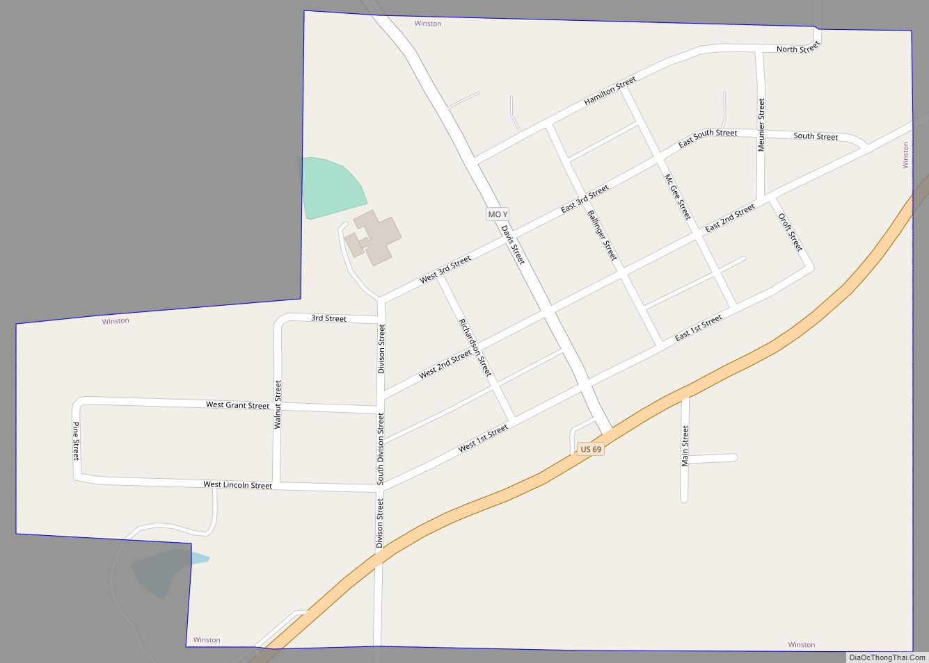
Winston is a village in southwestern Daviess County, Missouri, United States. The population was 229 at the 2020 census. Winston village overview: Name: Winston village LSAD Code: 47 LSAD Description: village (suffix) State: Missouri County: Daviess County Elevation: 1,053 ft (321 m) Total Area: 0.31 sq mi (0.80 km²) Land Area: 0.31 sq mi (0.80 km²) Water Area: 0.00 sq mi (0.00 km²) Total Population: 229 ... Read more
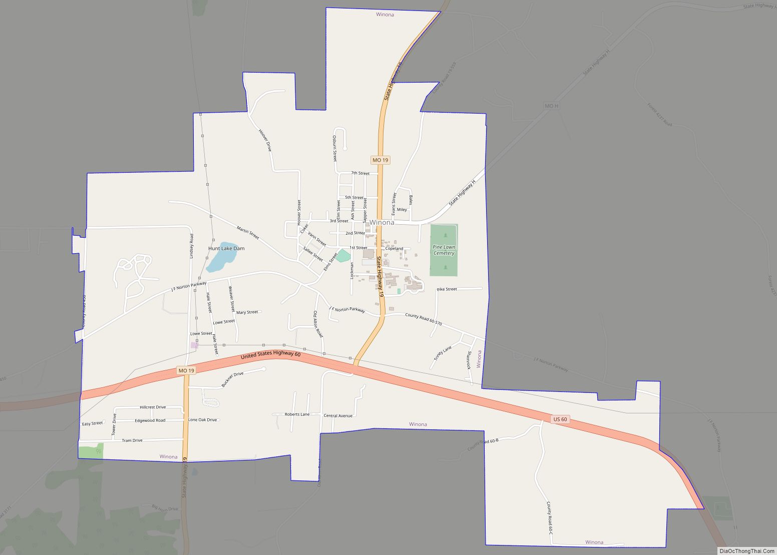
Winona is a city in southeast Shannon County, Missouri, United States. The population was 950 at the 2020 census. Winona city overview: Name: Winona city LSAD Code: 25 LSAD Description: city (suffix) State: Missouri County: Shannon County Elevation: 915 ft (279 m) Total Area: 3.81 sq mi (9.86 km²) Land Area: 3.81 sq mi (9.86 km²) Water Area: 0.00 sq mi (0.00 km²) Total Population: 950 ... Read more
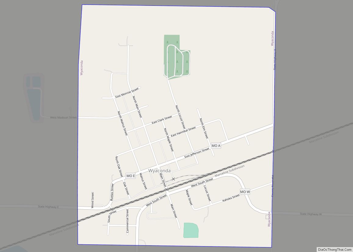
Wyaconda is a city in Clark County, Missouri, United States. As of the 2020 census, its population was 214. The city was organized in 1888 and is named after a Siouan name for God or the Great Spirit. The first land purchased from the Santa Fe and Land Co. was in 1888. Wyaconda is part ... Read more
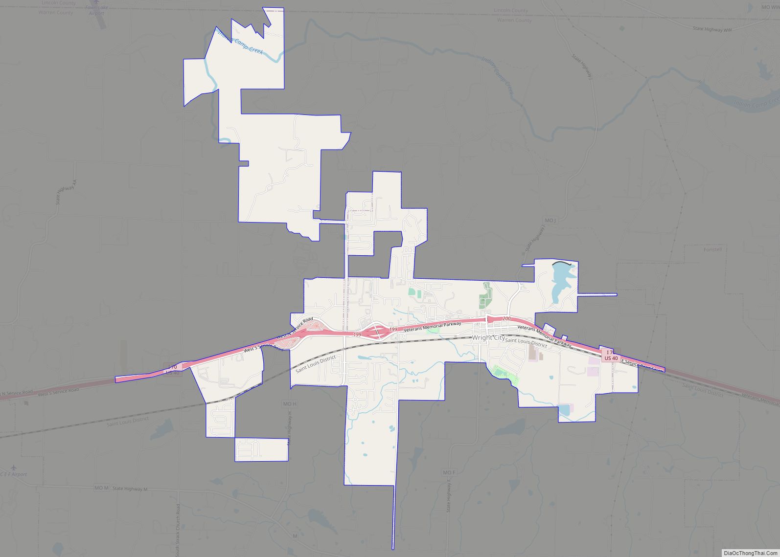
Wright City is a city in Warren County, Missouri, United States. It is located on Interstate 70 at mile marker 200 approximately 50 miles (80 km) west of downtown St. Louis. Wright City is a small, semi-rural community area with primarily single-family housing, with some multi-family dwellings. The population was 3,119 at the 2010 census. It ... Read more
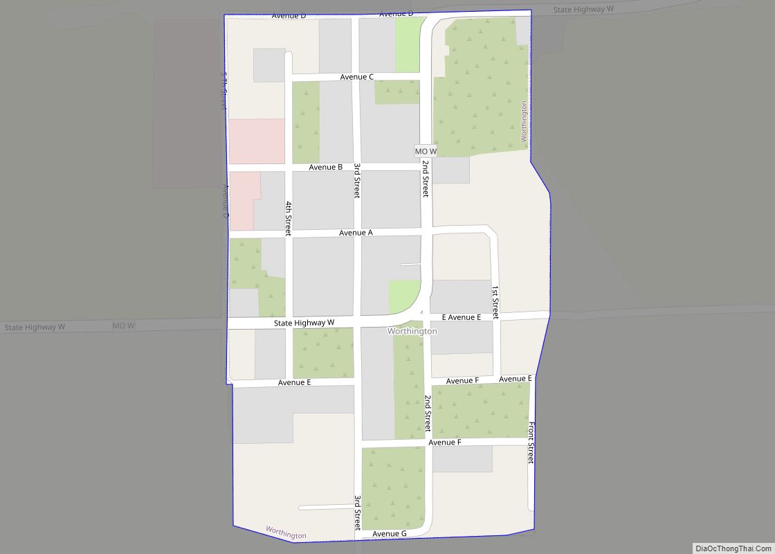
Worthington village overview: Name: Worthington village LSAD Code: 47 LSAD Description: village (suffix) State: Missouri County: Putnam County FIPS code: 2981106 Online Interactive Map Worthington online map. Source: Basemap layers from Google Map, Open Street Map (OSM), Arcgisonline, Wmflabs. Boundary Data from Database of Global Administrative Areas. Worthington location map. Where is Worthington village? Worthington ... Read more
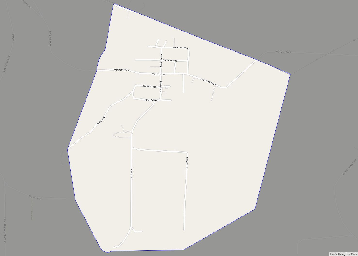
Wortham is a census-designated place in St. Francois County, in the U.S. state of Missouri. As of 2010, Wortham’s population is 279 making the growth rate 4.5%. Wortham CDP overview: Name: Wortham CDP LSAD Code: 57 LSAD Description: CDP (suffix) State: Missouri County: St. Francois County Elevation: 889 ft (271 m) Total Area: 0.90 sq mi (2.33 km²) Land Area: ... Read more
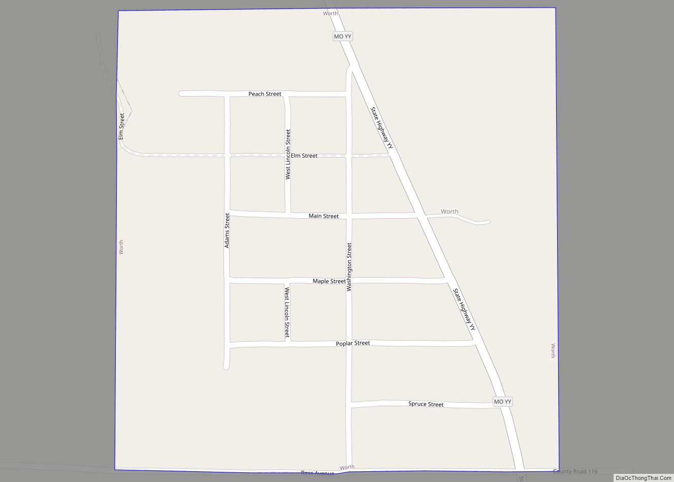
Worth village overview: Name: Worth village LSAD Code: 47 LSAD Description: village (suffix) State: Missouri County: Worth County FIPS code: 2981070 Online Interactive Map Worth online map. Source: Basemap layers from Google Map, Open Street Map (OSM), Arcgisonline, Wmflabs. Boundary Data from Database of Global Administrative Areas. Worth location map. Where is Worth village? Worth ... Read more
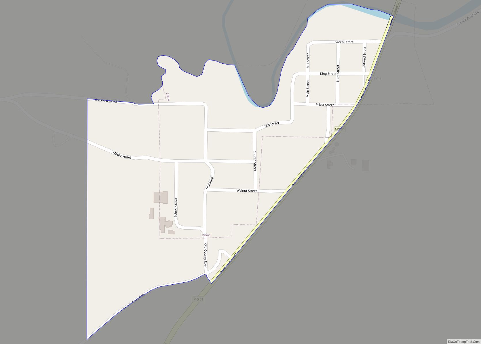
Zalma, once known as “Bollinger’s Mill”, is an unincorporated community and census-designated place (CDP) on the banks of the winding Castor River at a point where the river makes a horseshoe bend in southern Bollinger County in southeast Missouri, United States. When the railroad moved to town, the name Bollinger’s Mill was changed to Zalma, ... Read more
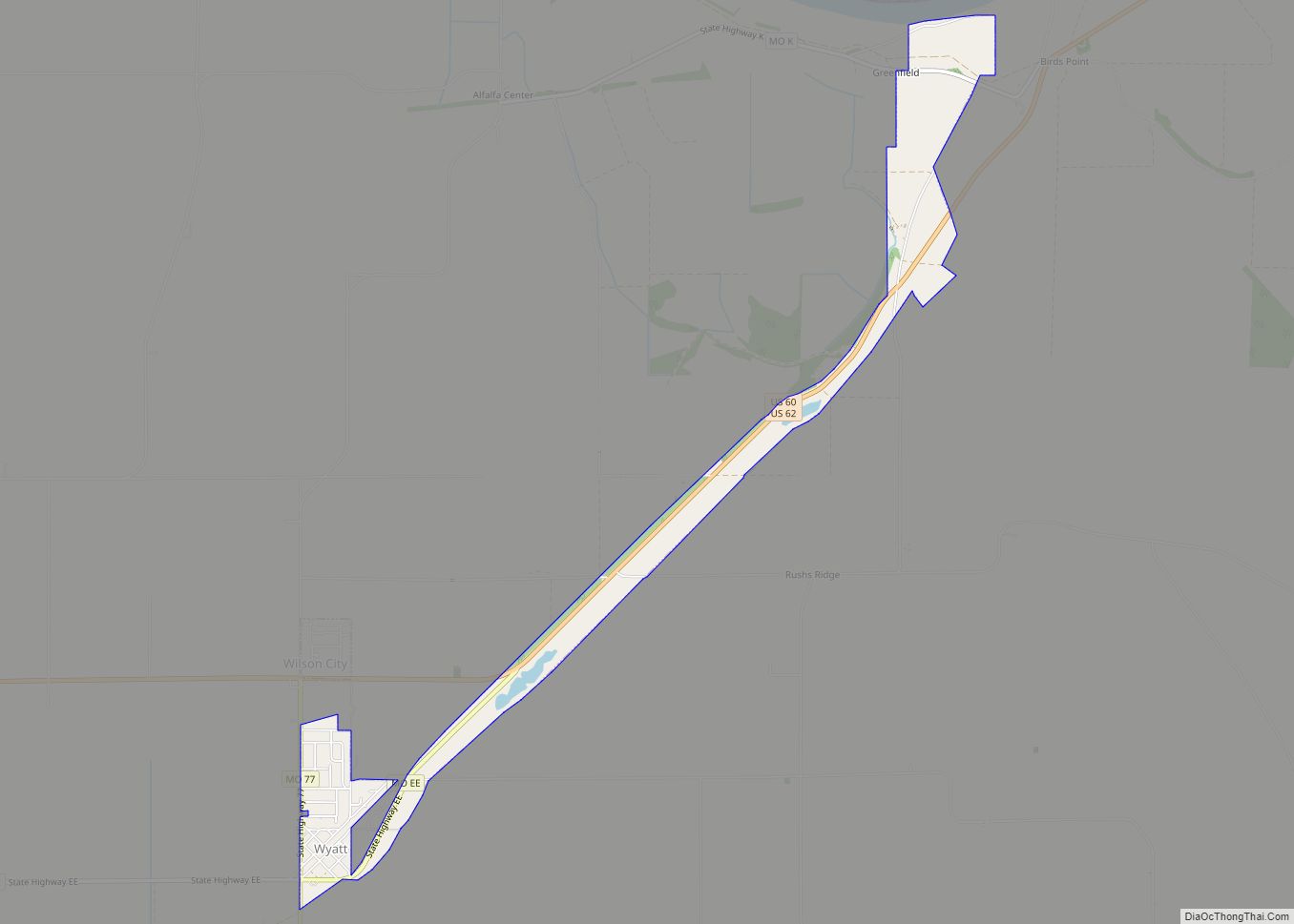
Wyatt is a city in Mississippi County, Missouri, United States. The population was 219 at the 2020 census. It is the easternmost city west of the Mississippi River. Wyatt city overview: Name: Wyatt city LSAD Code: 25 LSAD Description: city (suffix) State: Missouri County: Mississippi County Elevation: 308 ft (94 m) Total Area: 1.23 sq mi (3.18 km²) Land Area: ... Read more
