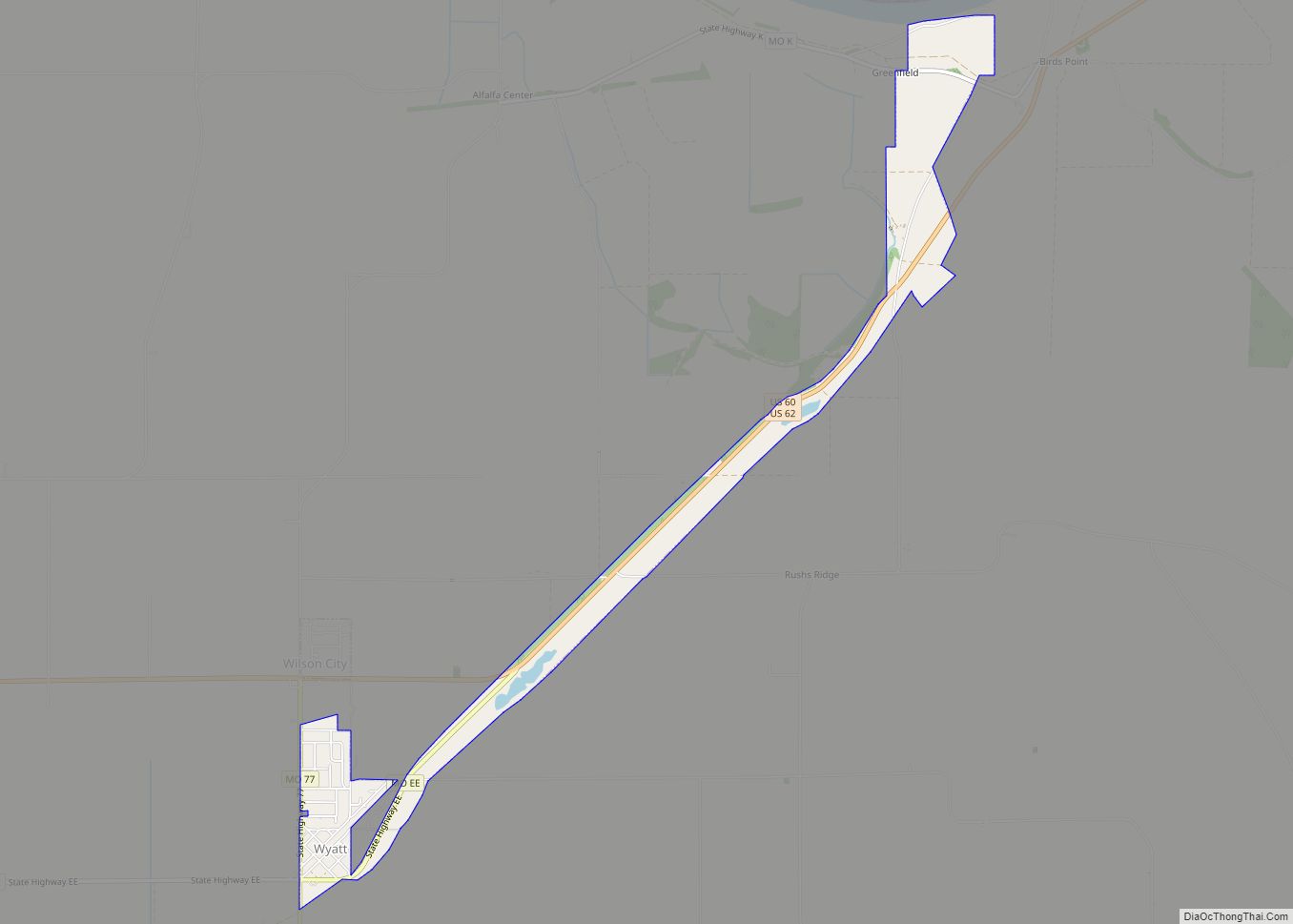
Wyatt is a city in Mississippi County, Missouri, United States. The population was 219 at the 2020 census. It is the easternmost city west of the Mississippi River.
| Name: | Wyatt city |
|---|---|
| LSAD Code: | 25 |
| LSAD Description: | city (suffix) |
| State: | Missouri |
| County: | Mississippi County |
| Elevation: | 308 ft (94 m) |
| Total Area: | 1.23 sq mi (3.18 km²) |
| Land Area: | 1.17 sq mi (3.04 km²) |
| Water Area: | 0.06 sq mi (0.15 km²) |
| Total Population: | 219 |
| Population Density: | 186.86/sq mi (72.16/km²) |
| ZIP code: | 63882 |
| Area code: | 573 |
| FIPS code: | 2981178 |
| GNISfeature ID: | 2397384 |
Online Interactive Map
Click on ![]() to view map in "full screen" mode.
to view map in "full screen" mode.
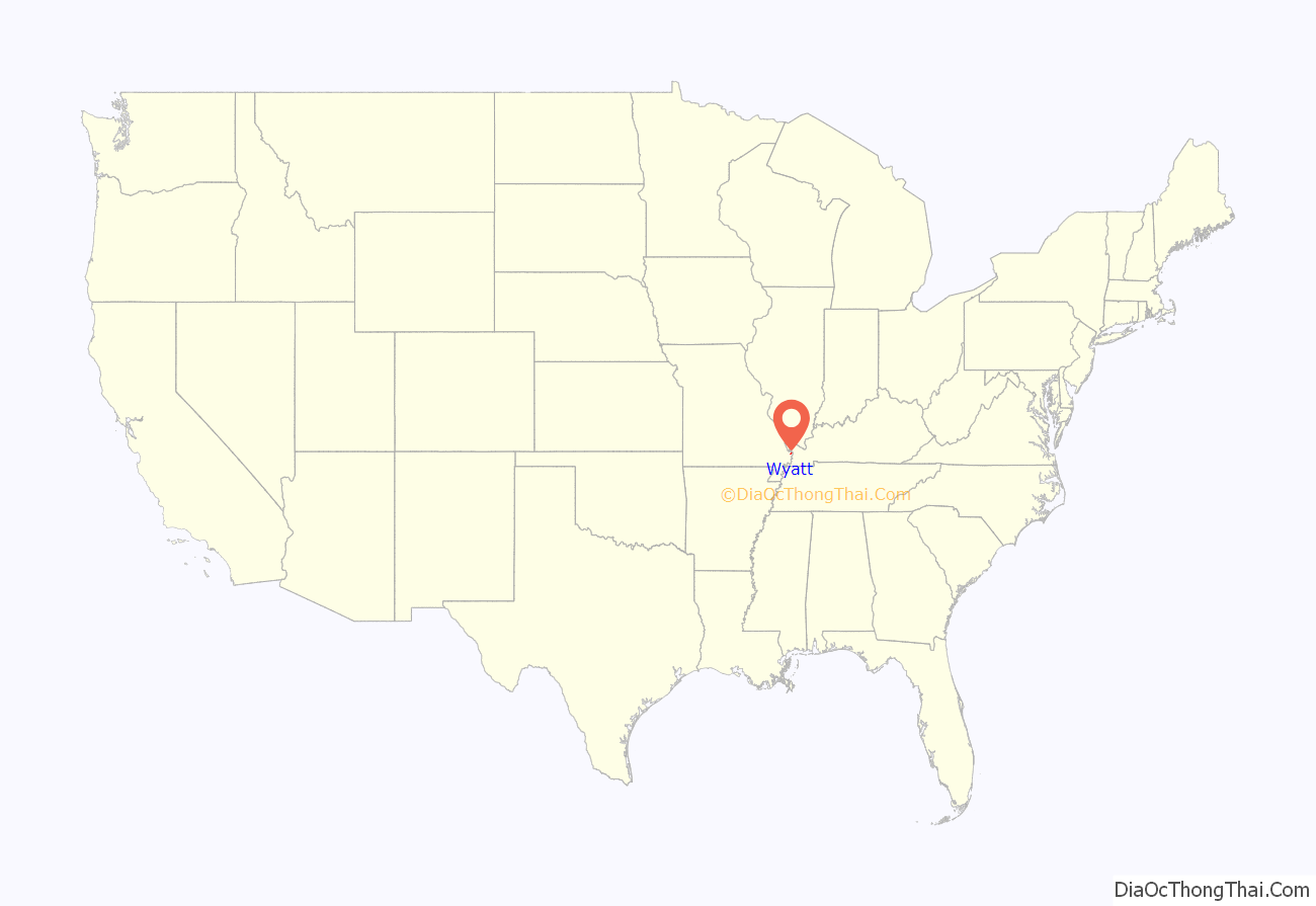
Wyatt location map. Where is Wyatt city?
History
Wyatt was originally called Pevey Switch, and under the latter name got its start in 1881 when the railroad was extended to that point. A post office called Wyatt has been in operation since 1895. The present name is after William Wyatt, an early settler.
The Cotton Belt 5.3-mile rail line, between Bird’s Point and Wyatt, was abandoned by ICC order on October 9, 1938. In late 1941, an oil pipeline was laid on the old Cotton Belt right-of-way, between Wyatt and Bird’s Point, to facilitate the transportation of crude oil by barge. Cotton Belt handled railroad tank cars from Arkansas, Louisiana and Texas to Wyatt for shipment by pipeline of the oil to Bird’s Point and trans loading onto barges. The 8.7-mile railroad line, between Wyatt and East Prairie, was abandoned by ICC order on April 25, 1980.
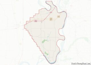
Wyatt Road Map
Wyatt city Satellite Map
Geography
Wyatt is on Missouri Route 77 in eastern Mississippi County, just west of the Mississippi River. The village of Wilson City lies opposite U.S. Route 62 to the north. Wyatt is on the western edge of the Birds Point-New Madrid Floodway.
According to the United States Census Bureau, the city has a total area of 1.23 square miles (3.19 km), of which 1.17 square miles (3.03 km) is land and 0.06 square miles (0.16 km) is water.
See also
Map of Missouri State and its subdivision:- Adair
- Andrew
- Atchison
- Audrain
- Barry
- Barton
- Bates
- Benton
- Bollinger
- Boone
- Buchanan
- Butler
- Caldwell
- Callaway
- Camden
- Cape Girardeau
- Carroll
- Carter
- Cass
- Cedar
- Chariton
- Christian
- Clark
- Clay
- Clinton
- Cole
- Cooper
- Crawford
- Dade
- Dallas
- Daviess
- De Kalb
- Dent
- Douglas
- Dunklin
- Franklin
- Gasconade
- Gentry
- Greene
- Grundy
- Harrison
- Henry
- Hickory
- Holt
- Howard
- Howell
- Iron
- Jackson
- Jasper
- Jefferson
- Johnson
- Knox
- Laclede
- Lafayette
- Lawrence
- Lewis
- Lincoln
- Linn
- Livingston
- Macon
- Madison
- Maries
- Marion
- McDonald
- Mercer
- Miller
- Mississippi
- Moniteau
- Monroe
- Montgomery
- Morgan
- New Madrid
- Newton
- Nodaway
- Oregon
- Osage
- Ozark
- Pemiscot
- Perry
- Pettis
- Phelps
- Pike
- Platte
- Polk
- Pulaski
- Putnam
- Ralls
- Randolph
- Ray
- Reynolds
- Ripley
- Saint Charles
- Saint Clair
- Saint Francois
- Saint Louis
- Sainte Genevieve
- Saline
- Schuyler
- Scotland
- Scott
- Shannon
- Shelby
- Stoddard
- Stone
- Sullivan
- Taney
- Texas
- Vernon
- Warren
- Washington
- Wayne
- Webster
- Worth
- Wright
- Alabama
- Alaska
- Arizona
- Arkansas
- California
- Colorado
- Connecticut
- Delaware
- District of Columbia
- Florida
- Georgia
- Hawaii
- Idaho
- Illinois
- Indiana
- Iowa
- Kansas
- Kentucky
- Louisiana
- Maine
- Maryland
- Massachusetts
- Michigan
- Minnesota
- Mississippi
- Missouri
- Montana
- Nebraska
- Nevada
- New Hampshire
- New Jersey
- New Mexico
- New York
- North Carolina
- North Dakota
- Ohio
- Oklahoma
- Oregon
- Pennsylvania
- Rhode Island
- South Carolina
- South Dakota
- Tennessee
- Texas
- Utah
- Vermont
- Virginia
- Washington
- West Virginia
- Wisconsin
- Wyoming
