Winona is a city in southeast Shannon County, Missouri, United States. The population was 950 at the 2020 census.
| Name: | Winona city |
|---|---|
| LSAD Code: | 25 |
| LSAD Description: | city (suffix) |
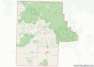
| State: | Missouri |
| County: | Shannon County |
| Elevation: | 915 ft (279 m) |
| Total Area: | 3.81 sq mi (9.86 km²) |
| Land Area: | 3.81 sq mi (9.86 km²) |
| Water Area: | 0.00 sq mi (0.00 km²) |
| Total Population: | 950 |
| Population Density: | 249.54/sq mi (96.34/km²) |
| ZIP code: | 65588 |
| Area code: | 573 |
| FIPS code: | 2980512 |
| GNISfeature ID: | 2397349 |
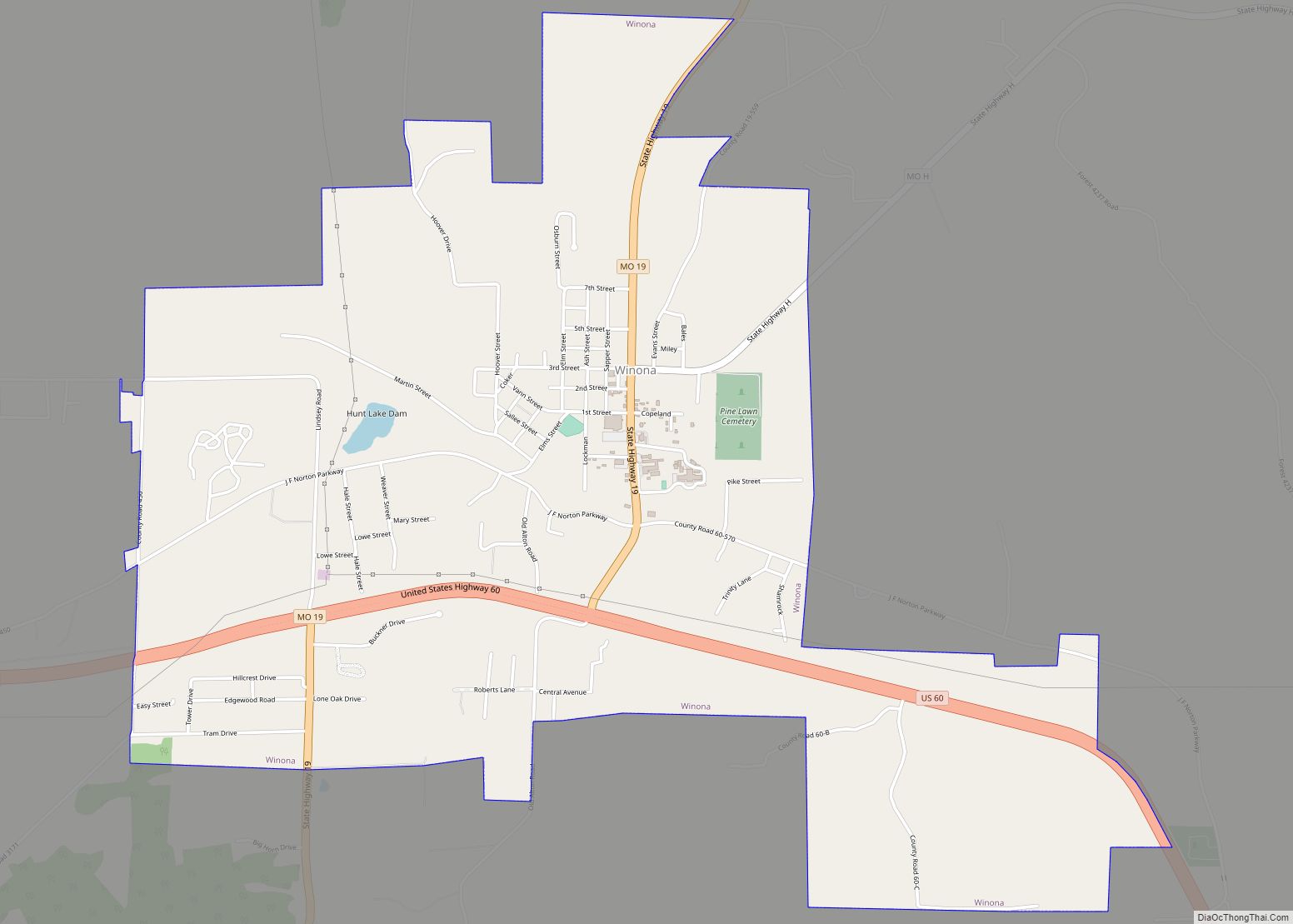
Online Interactive Map
Click on ![]() to view map in "full screen" mode.
to view map in "full screen" mode.
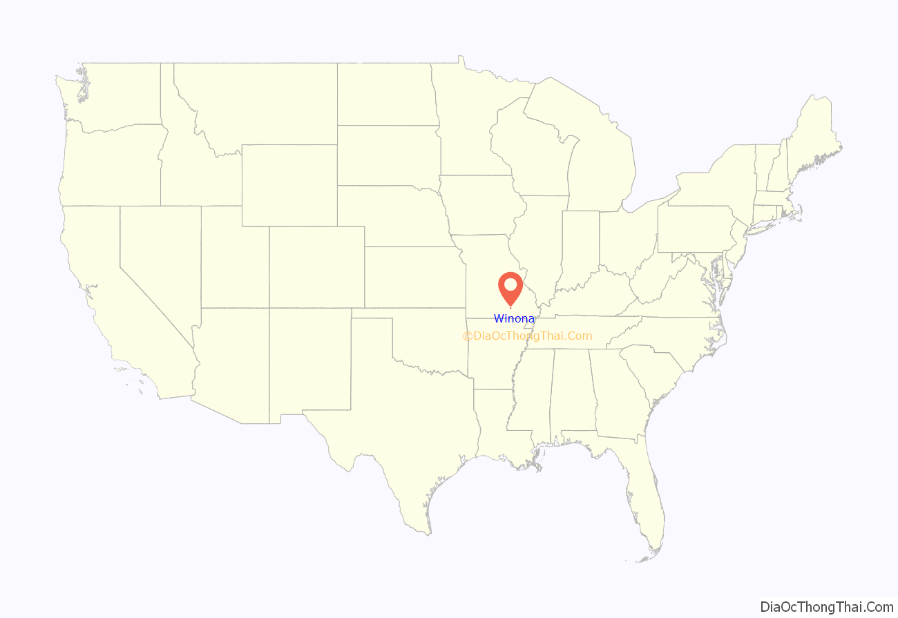
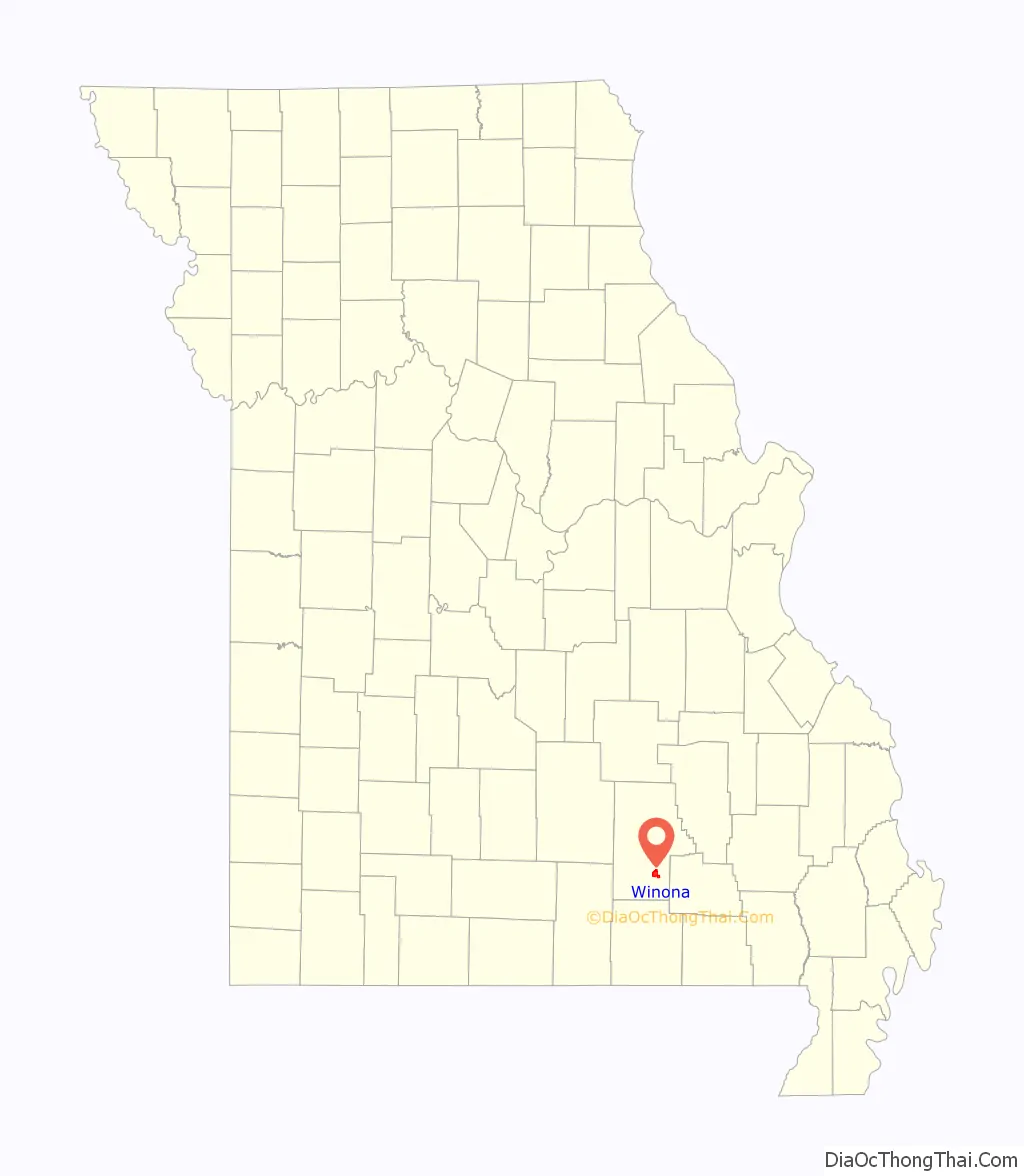
Winona location map. Where is Winona city?
History
A post office called Winona has been in operation since 1888. The community was named after Winona, Minnesota, the native home of an area lumberman. The name is also a Sioux word meaning ‘first born.’
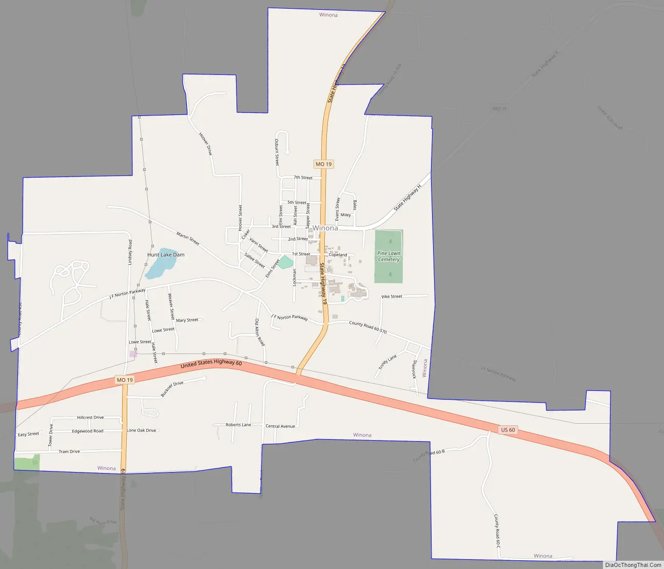
Winona Road Map
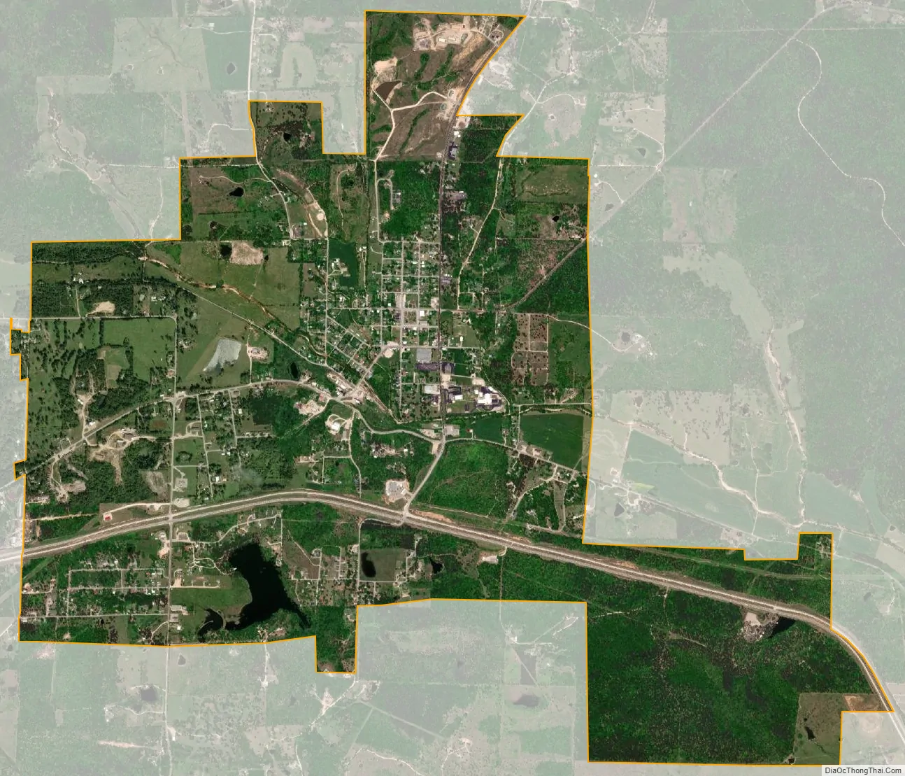
Winona city Satellite Map
Geography
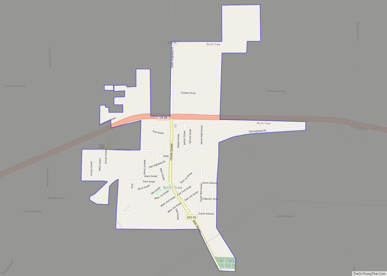
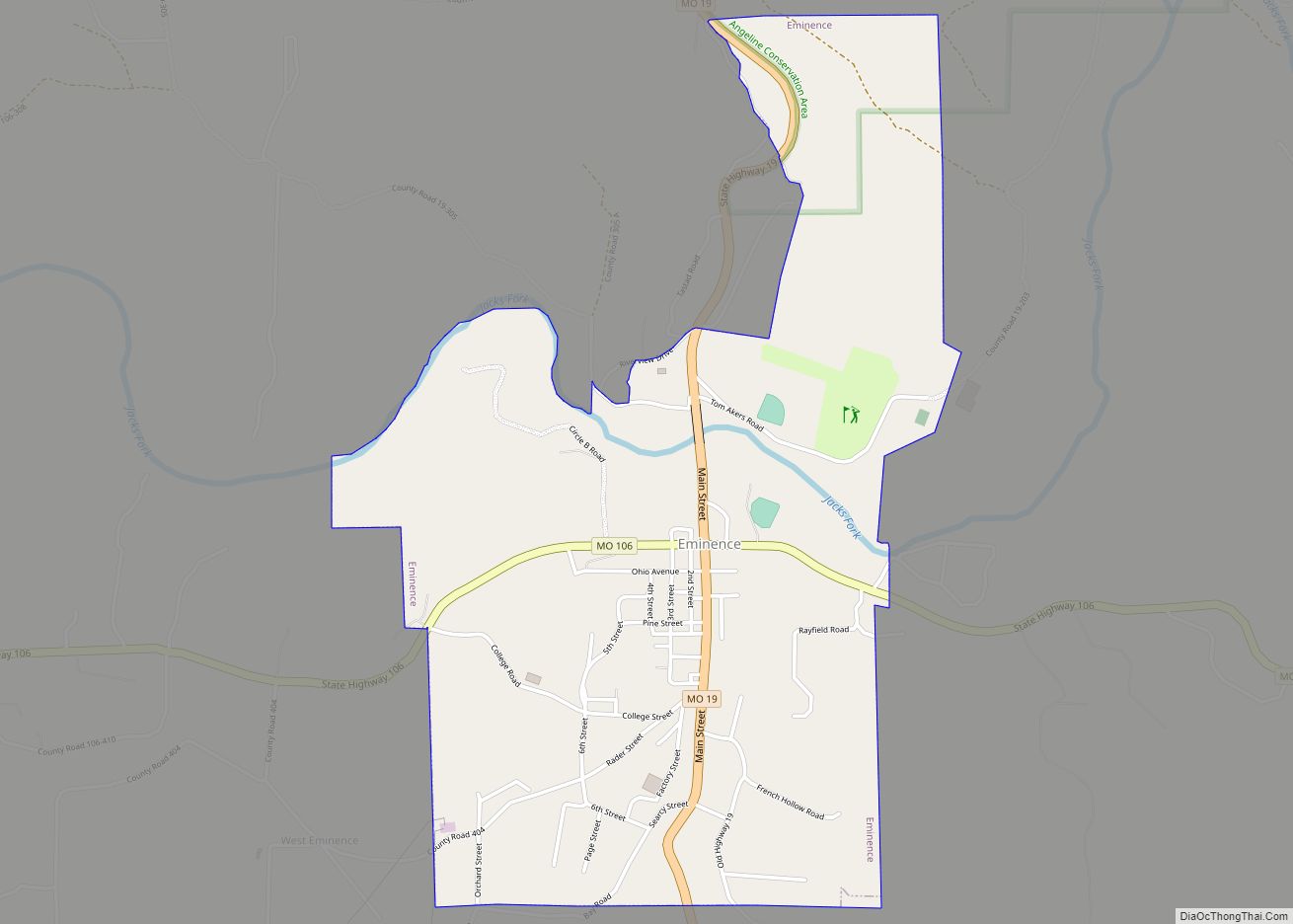
Winona is located in the Ozarks of southern Missouri. The city is at the intersection of US Route 60 and Missouri Route 19. The city lies within the Mark Twain National Forest. Birch Tree is eight miles to the west, Eminence is about eight miles to the north on Route 19, and Van Buren is approximately 18 miles to the east in adjacent Carter County.
According to the United States Census Bureau, the city has a total area of 3.81 square miles (9.87 km), all land.
See also
Map of Missouri State and its subdivision:- Adair
- Andrew
- Atchison
- Audrain
- Barry
- Barton
- Bates
- Benton
- Bollinger
- Boone
- Buchanan
- Butler
- Caldwell
- Callaway
- Camden
- Cape Girardeau
- Carroll
- Carter
- Cass
- Cedar
- Chariton
- Christian
- Clark
- Clay
- Clinton
- Cole
- Cooper
- Crawford
- Dade
- Dallas
- Daviess
- De Kalb
- Dent
- Douglas
- Dunklin
- Franklin
- Gasconade
- Gentry
- Greene
- Grundy
- Harrison
- Henry
- Hickory
- Holt
- Howard
- Howell
- Iron
- Jackson
- Jasper
- Jefferson
- Johnson
- Knox
- Laclede
- Lafayette
- Lawrence
- Lewis
- Lincoln
- Linn
- Livingston
- Macon
- Madison
- Maries
- Marion
- McDonald
- Mercer
- Miller
- Mississippi
- Moniteau
- Monroe
- Montgomery
- Morgan
- New Madrid
- Newton
- Nodaway
- Oregon
- Osage
- Ozark
- Pemiscot
- Perry
- Pettis
- Phelps
- Pike
- Platte
- Polk
- Pulaski
- Putnam
- Ralls
- Randolph
- Ray
- Reynolds
- Ripley
- Saint Charles
- Saint Clair
- Saint Francois
- Saint Louis
- Sainte Genevieve
- Saline
- Schuyler
- Scotland
- Scott
- Shannon
- Shelby
- Stoddard
- Stone
- Sullivan
- Taney
- Texas
- Vernon
- Warren
- Washington
- Wayne
- Webster
- Worth
- Wright
- Alabama
- Alaska
- Arizona
- Arkansas
- California
- Colorado
- Connecticut
- Delaware
- District of Columbia
- Florida
- Georgia
- Hawaii
- Idaho
- Illinois
- Indiana
- Iowa
- Kansas
- Kentucky
- Louisiana
- Maine
- Maryland
- Massachusetts
- Michigan
- Minnesota
- Mississippi
- Missouri
- Montana
- Nebraska
- Nevada
- New Hampshire
- New Jersey
- New Mexico
- New York
- North Carolina
- North Dakota
- Ohio
- Oklahoma
- Oregon
- Pennsylvania
- Rhode Island
- South Carolina
- South Dakota
- Tennessee
- Texas
- Utah
- Vermont
- Virginia
- Washington
- West Virginia
- Wisconsin
- Wyoming